Santa Clara is a village in Grant County, New Mexico, United States. The population was 1,686 at the 2010 census, down from 1,944 in 2000. Today it is a bedroom community for nearby Silver City.
| Name: | Santa Clara village |
|---|---|
| LSAD Code: | 47 |
| LSAD Description: | village (suffix) |
| State: | New Mexico |
| County: | Grant County |
| Elevation: | 5,978 ft (1,822 m) |
| Total Area: | 2.00 sq mi (5.19 km²) |
| Land Area: | 1.99 sq mi (5.15 km²) |
| Water Area: | 0.01 sq mi (0.04 km²) |
| Total Population: | 1,637 |
| Population Density: | 822.61/sq mi (317.60/km²) |
| ZIP code: | 88026 |
| Area code: | 575 |
| FIPS code: | 3570270 |
| GNISfeature ID: | 0920575 |
| Website: | www.villageofsantaclara.org |
Online Interactive Map
Click on ![]() to view map in "full screen" mode.
to view map in "full screen" mode.
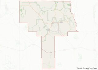
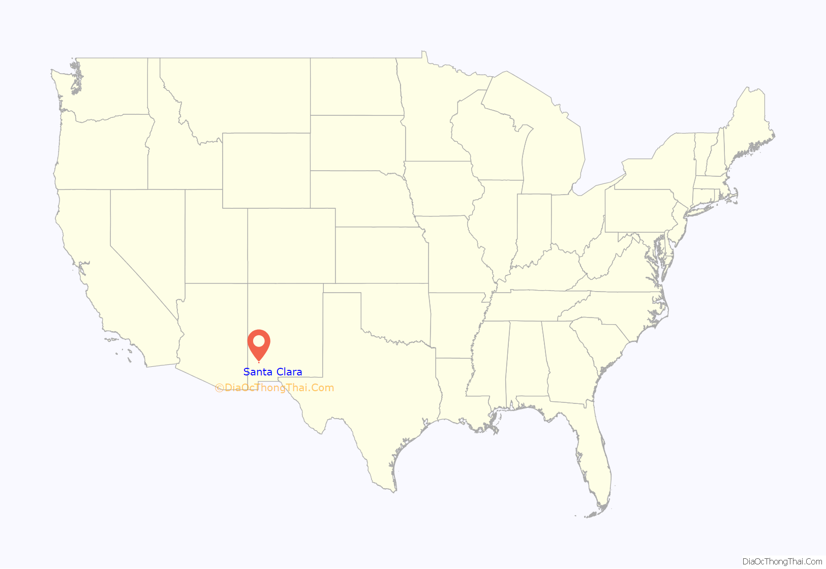
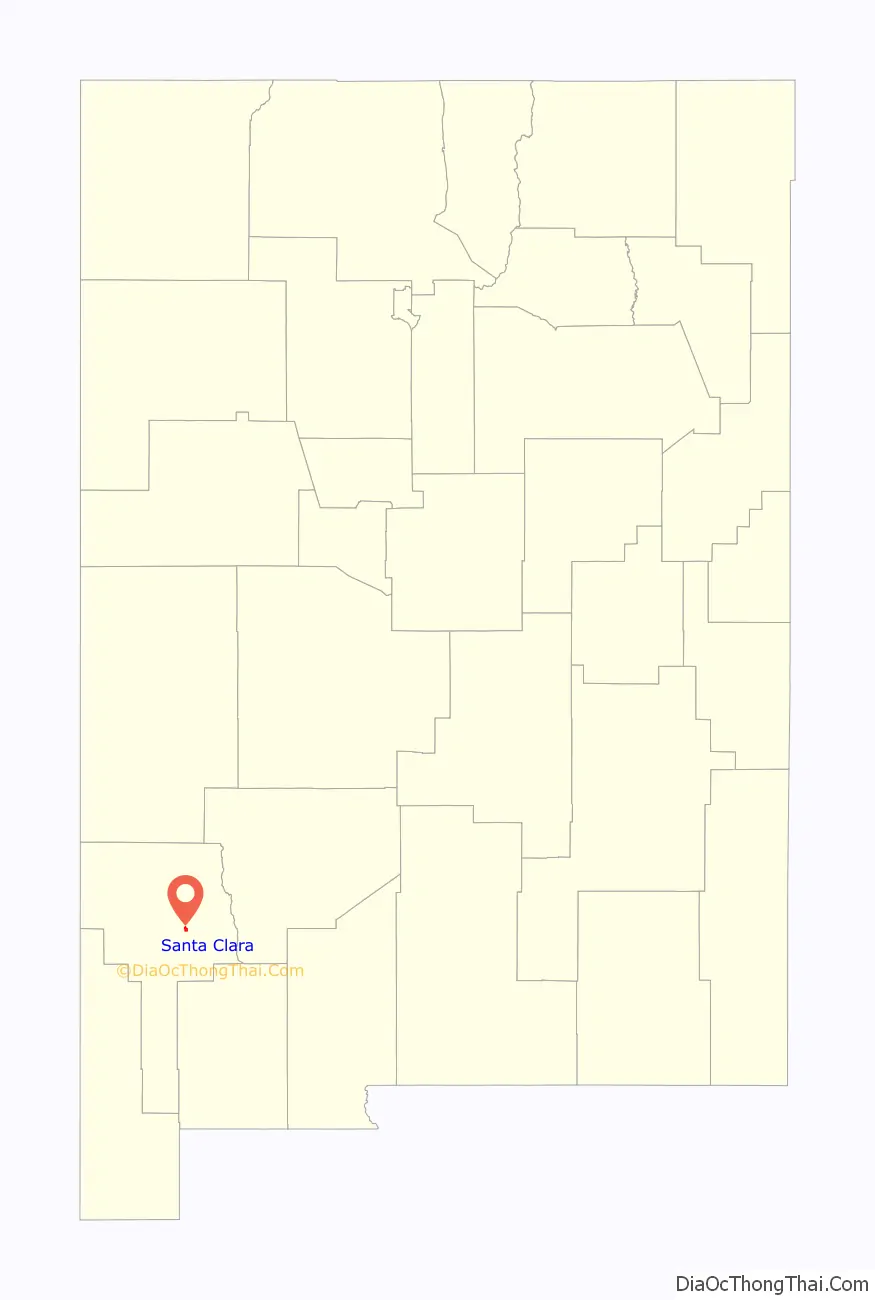
Santa Clara location map. Where is Santa Clara village?
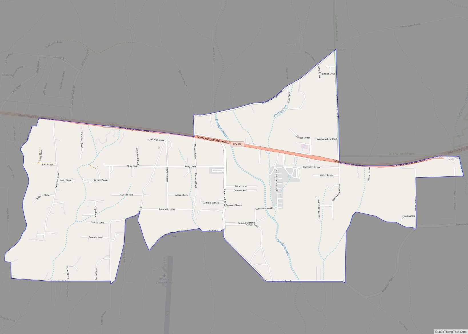
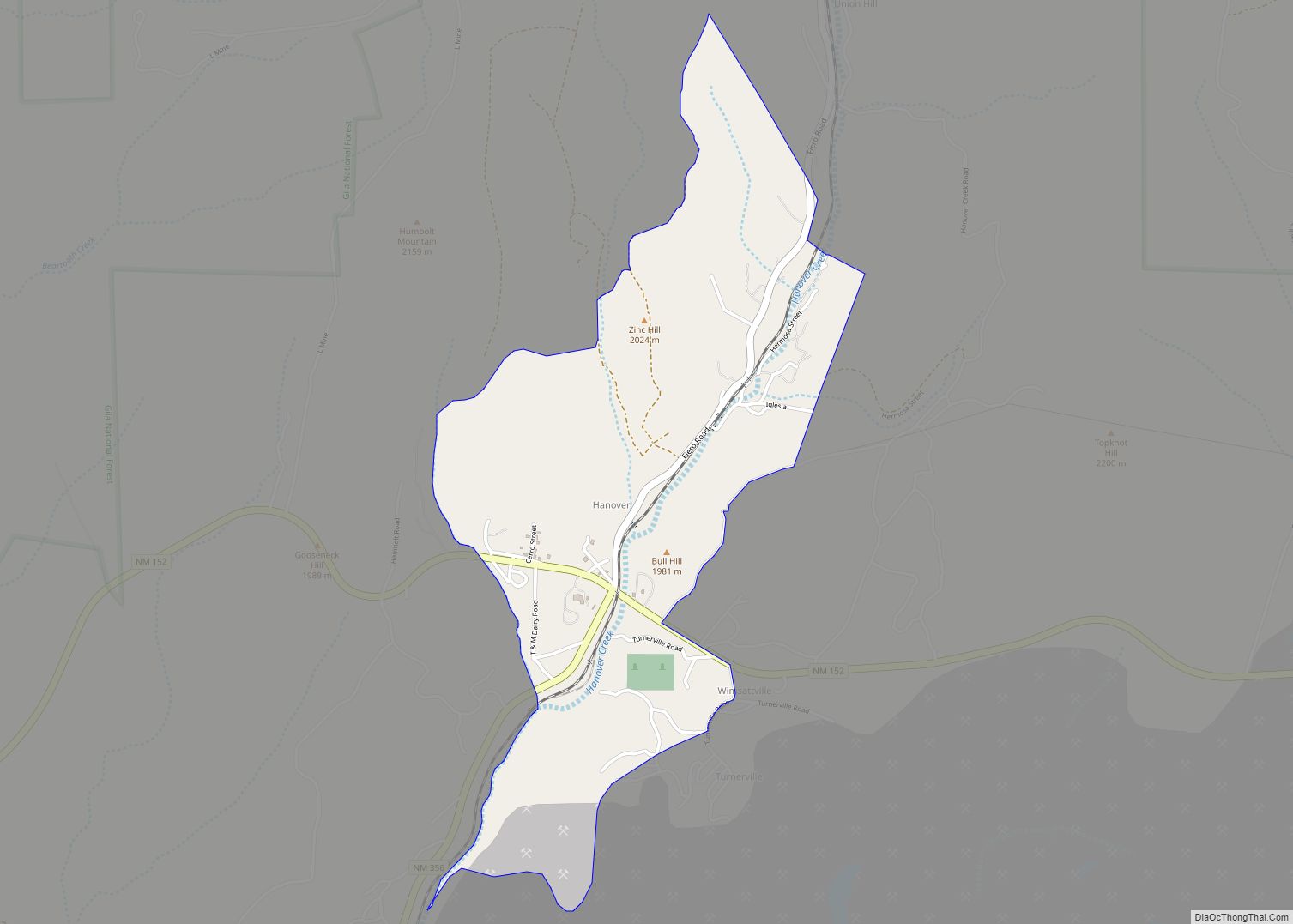
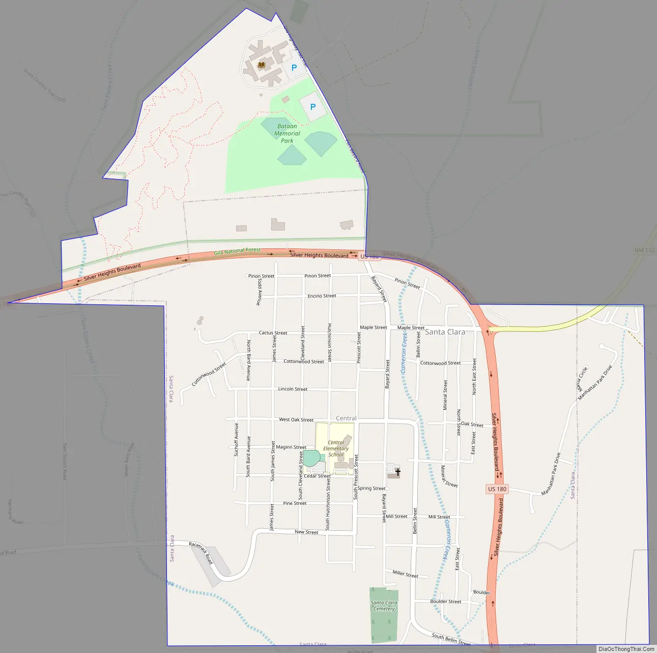
Santa Clara Road Map
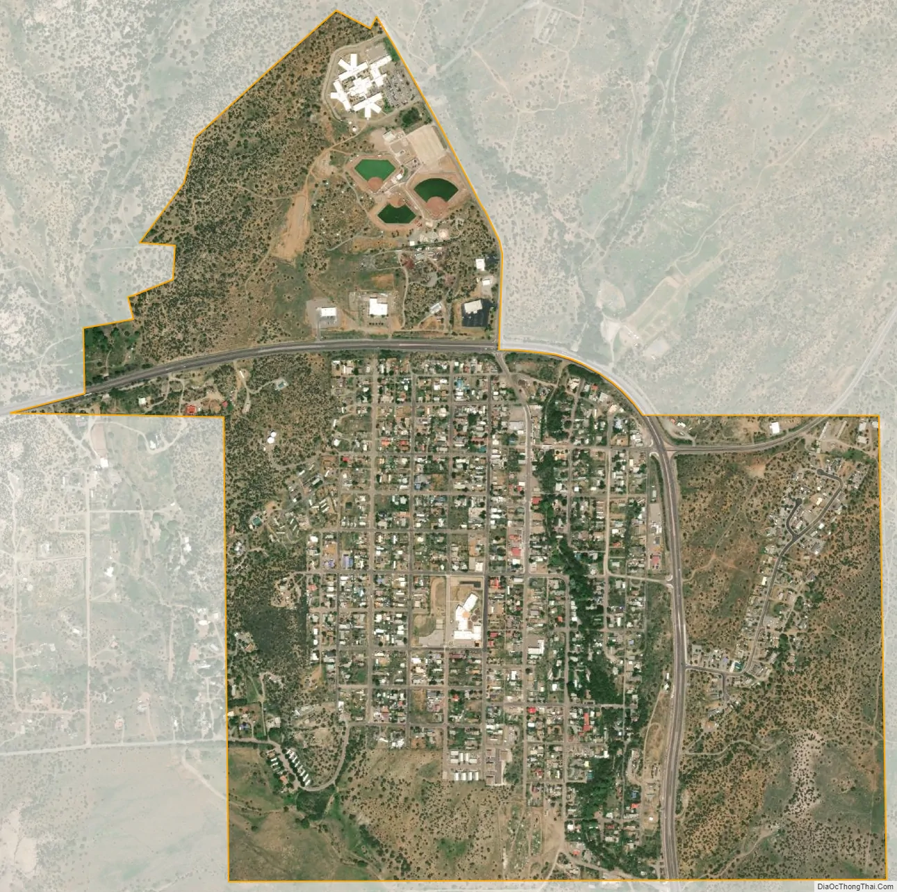
Santa Clara city Satellite Map
Geography
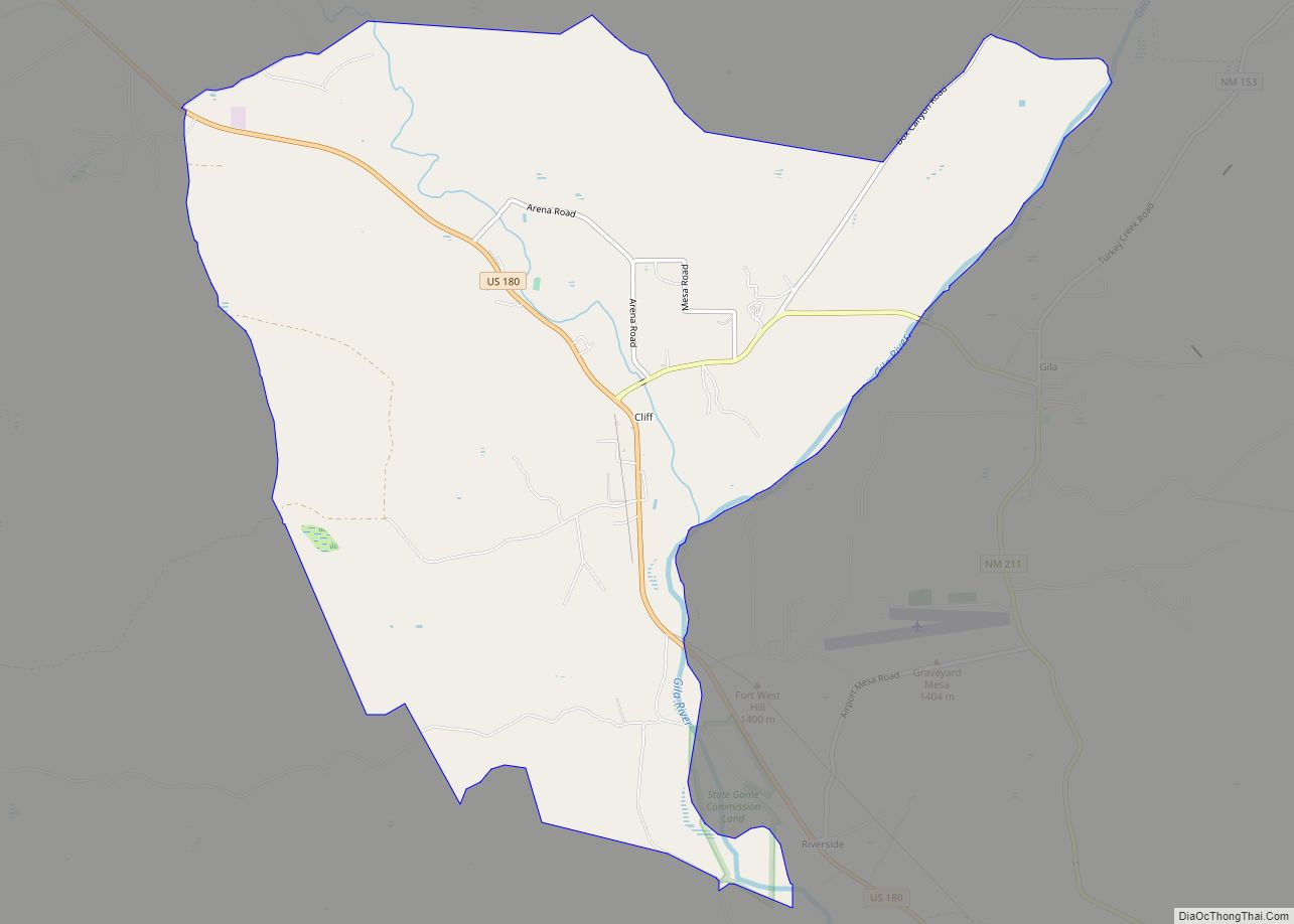
Santa Clara is located east of the center of Grant County at 32°46′32″N 108°09′13″W / 32.775681°N 108.153597°W / 32.775681; -108.153597. U.S. Route 180 passes around the north and east sides of the village, leading west 7 miles (11 km) to Silver City, the county seat, and south 2 miles (3 km) to Bayard.
According to the United States Census Bureau, the village has a total area of 1.3 square miles (3.3 km), of which 0.012 square miles (0.03 km), or 0.99%, is water.
See also
Map of New Mexico State and its subdivision: Map of other states:- Alabama
- Alaska
- Arizona
- Arkansas
- California
- Colorado
- Connecticut
- Delaware
- District of Columbia
- Florida
- Georgia
- Hawaii
- Idaho
- Illinois
- Indiana
- Iowa
- Kansas
- Kentucky
- Louisiana
- Maine
- Maryland
- Massachusetts
- Michigan
- Minnesota
- Mississippi
- Missouri
- Montana
- Nebraska
- Nevada
- New Hampshire
- New Jersey
- New Mexico
- New York
- North Carolina
- North Dakota
- Ohio
- Oklahoma
- Oregon
- Pennsylvania
- Rhode Island
- South Carolina
- South Dakota
- Tennessee
- Texas
- Utah
- Vermont
- Virginia
- Washington
- West Virginia
- Wisconsin
- Wyoming