Skyline-Ganipa is a census-designated place (CDP) in Cibola County, New Mexico, United States. The population was 1,224 at the 2010 census.
| Name: | Skyline-Ganipa CDP |
|---|---|
| LSAD Code: | 57 |
| LSAD Description: | CDP (suffix) |
| State: | New Mexico |
| County: | Cibola County |
| Total Area: | 7.81 sq mi (20.22 km²) |
| Land Area: | 7.81 sq mi (20.22 km²) |
| Water Area: | 0.00 sq mi (0.00 km²) |
| Total Population: | 1,614 |
| Population Density: | 206.76/sq mi (79.83/km²) |
| Area code: | 505 |
| FIPS code: | 3573440 |
Online Interactive Map
Click on ![]() to view map in "full screen" mode.
to view map in "full screen" mode.
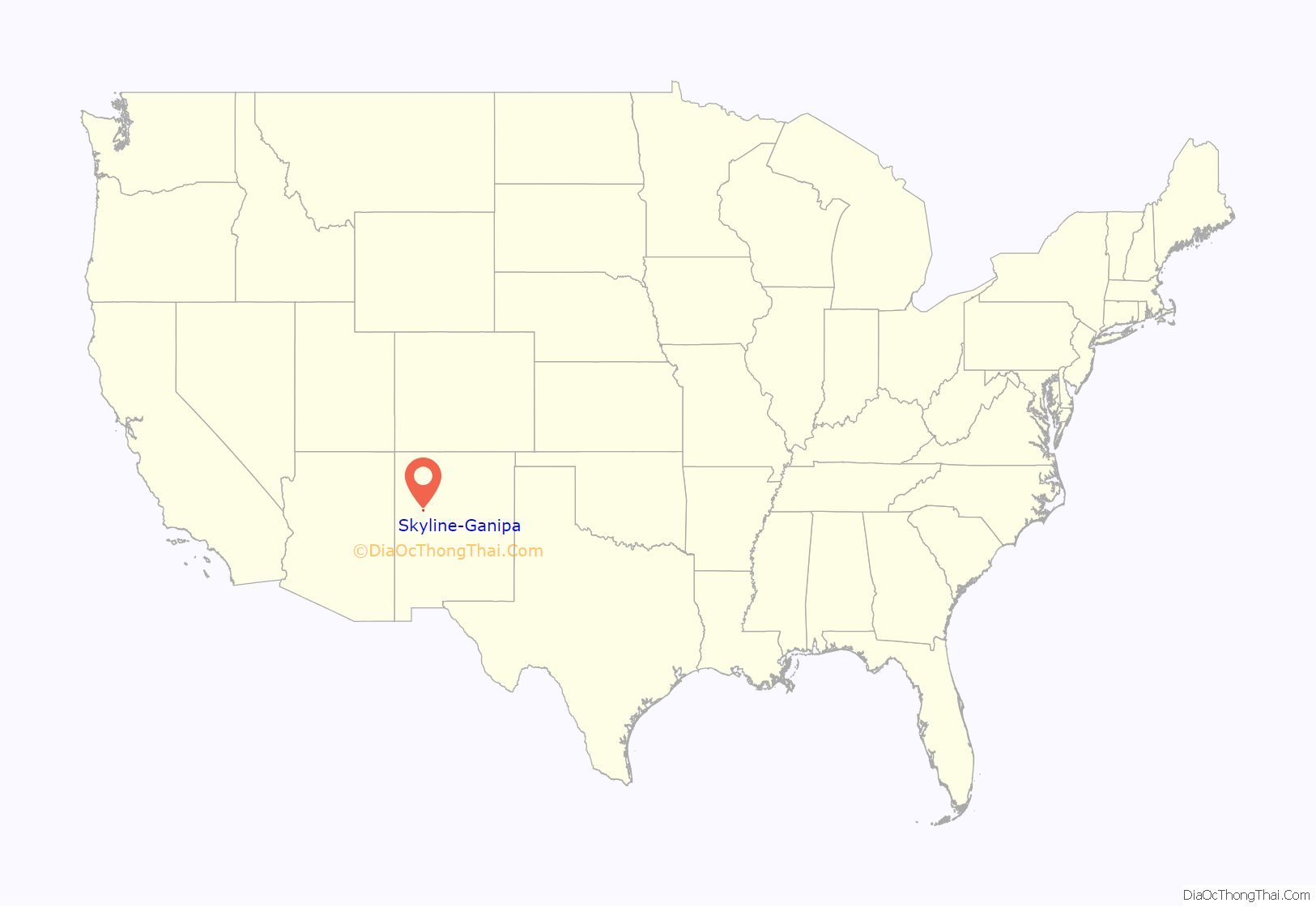
Skyline-Ganipa location map. Where is Skyline-Ganipa CDP?
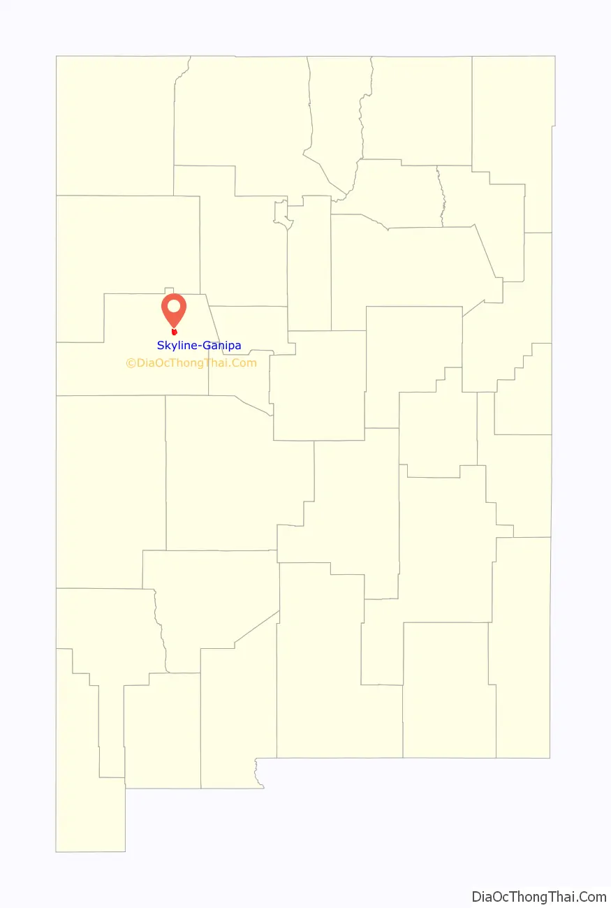
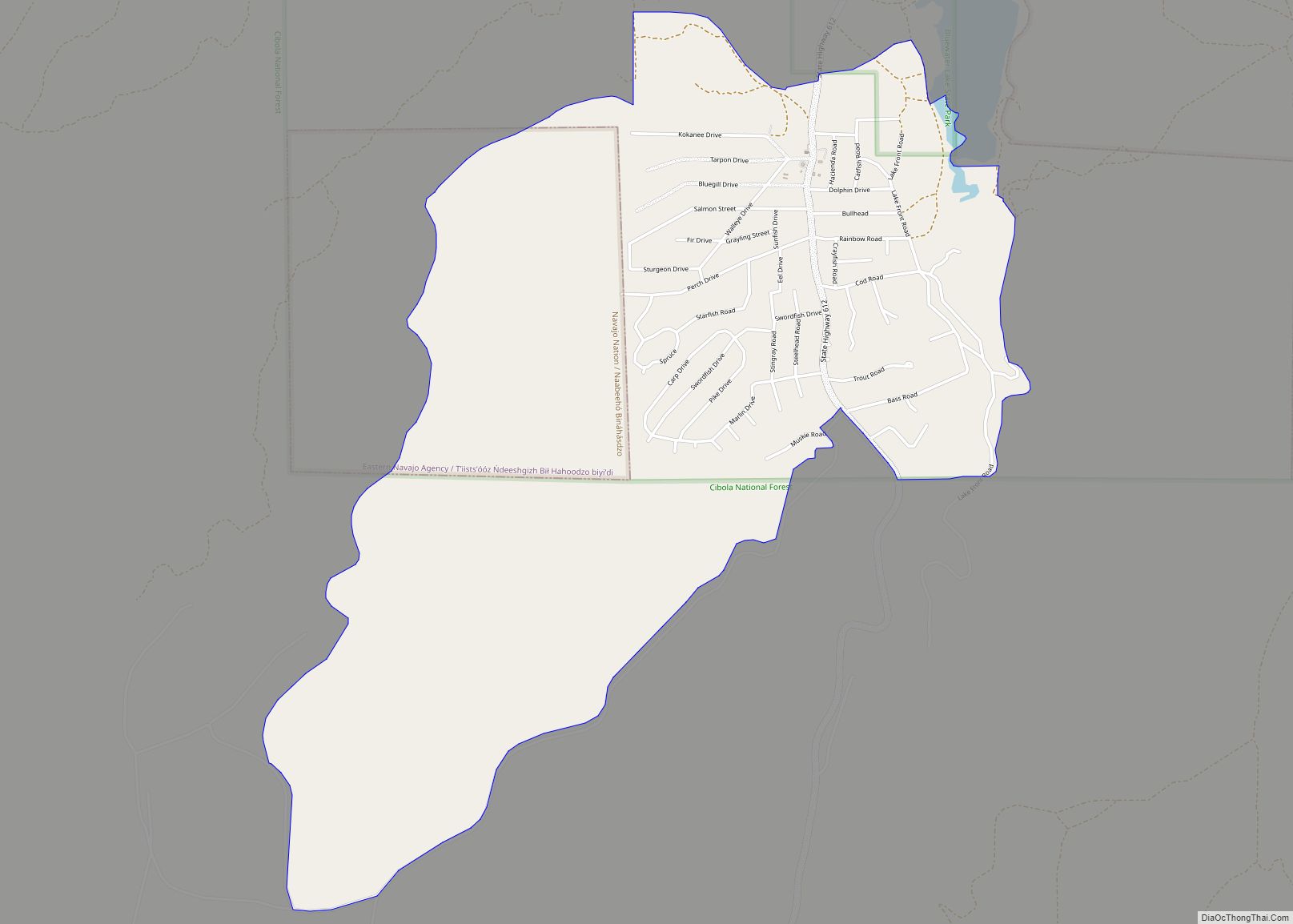
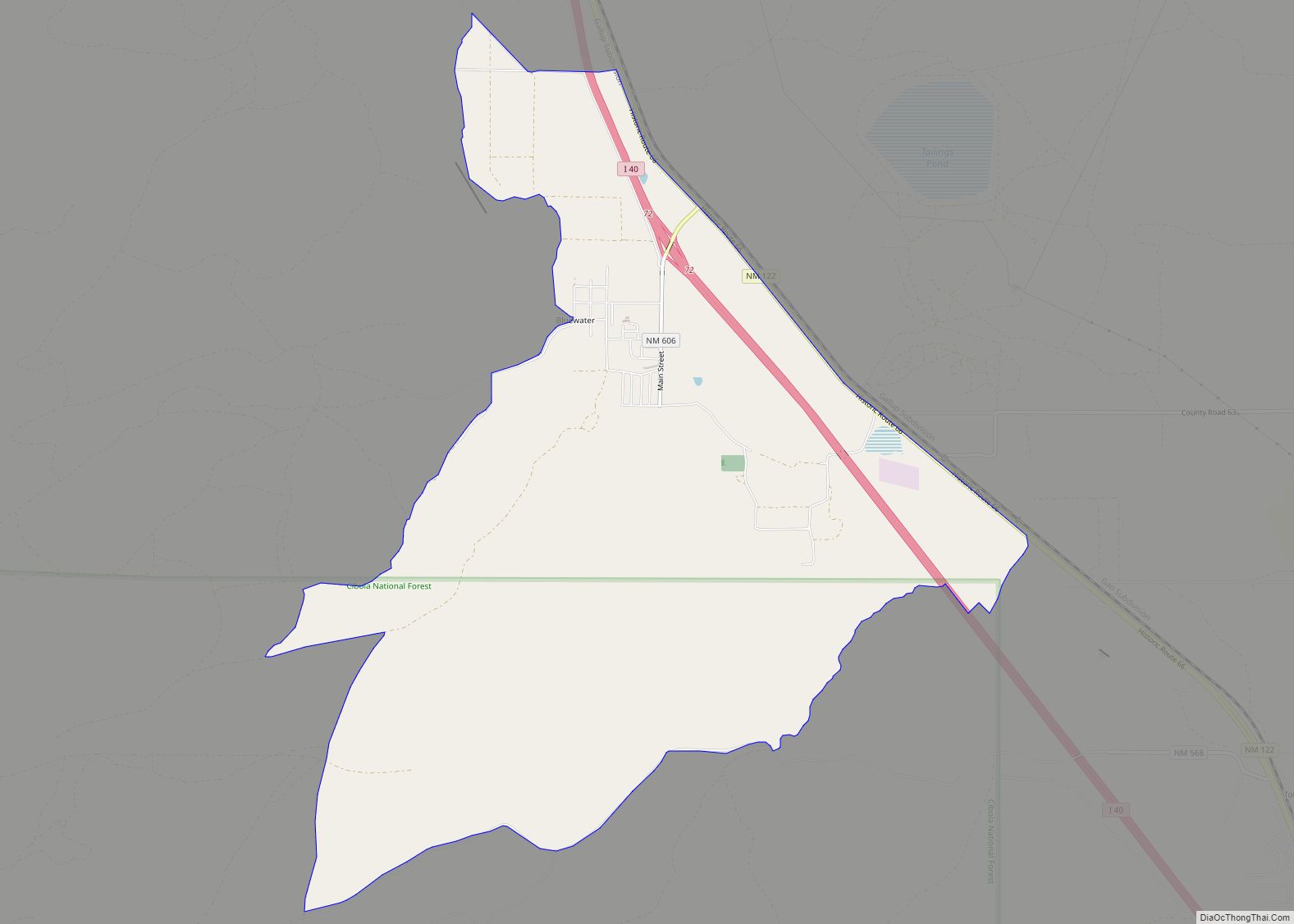
Skyline-Ganipa Road Map
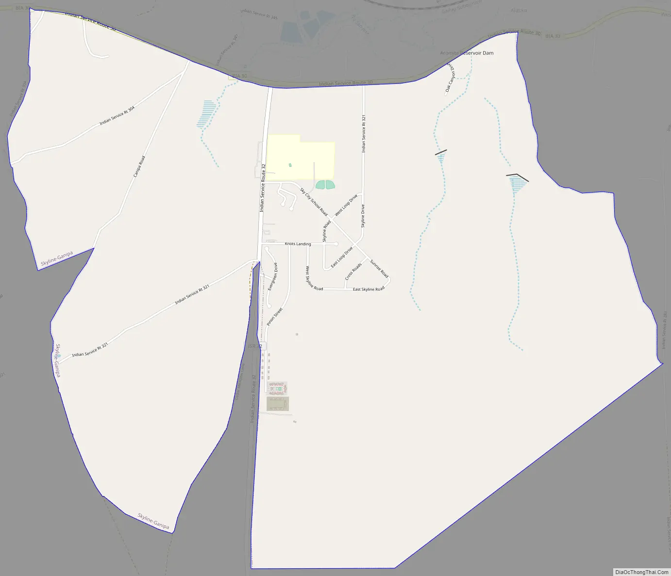
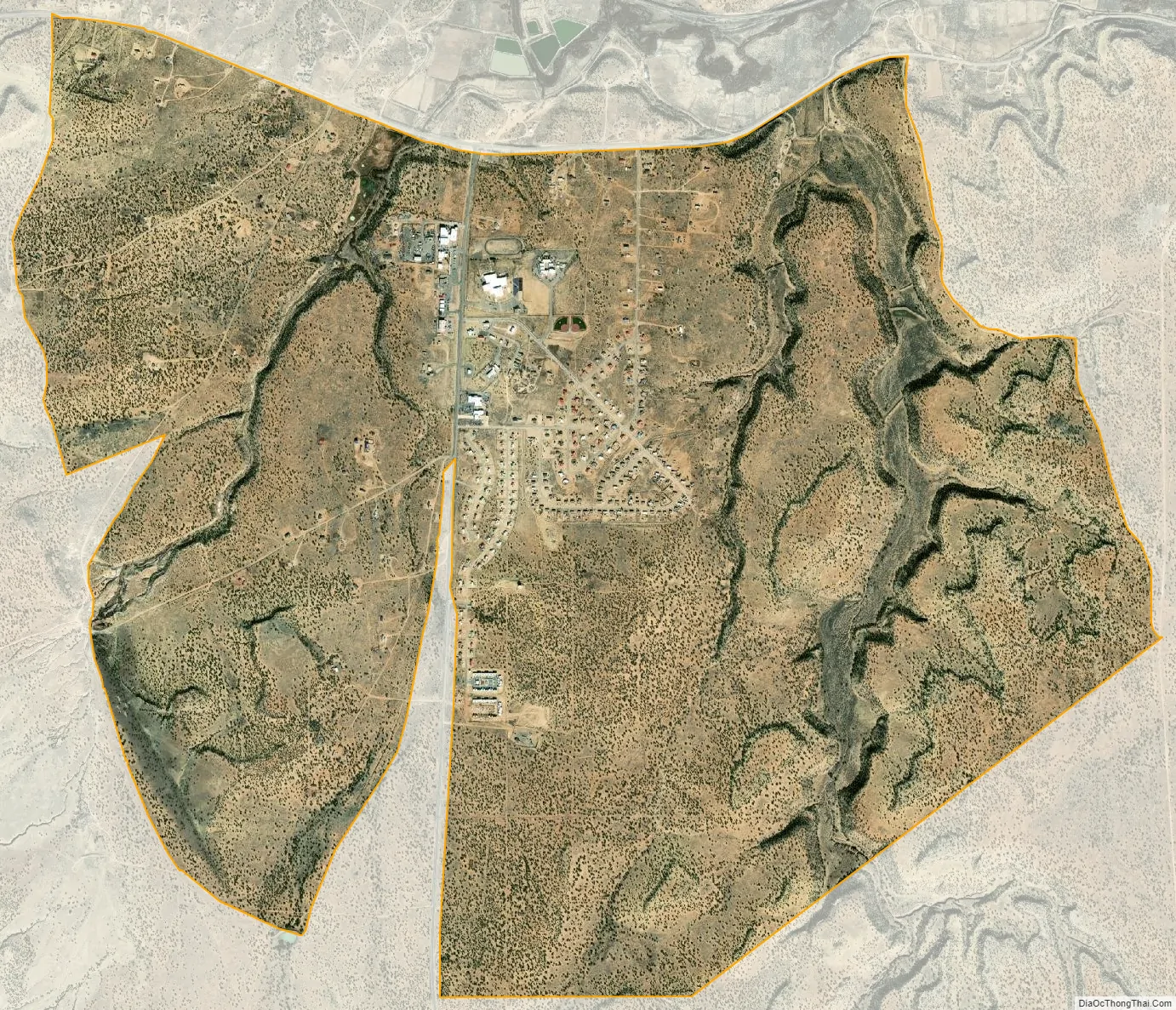
Skyline-Ganipa city Satellite Map
Geography
Skyline-Ganipa is located in northern Cibola County at 35°2′15″N 107°37′26″W / 35.03750°N 107.62389°W / 35.03750; -107.62389 (35.037522, -107.623838), within the lands of Acoma Pueblo. It occupies elevated land south of the valley of the Rio San Jose. By road, it is approximately 5 miles (8 km) south of Interstate 40; Grants, the county seat, is 17 miles (27 km) to the northwest.
According to the United States Census Bureau, the CDP has a total area of 6.1 square miles (15.9 km), all land.
See also
Map of New Mexico State and its subdivision: Map of other states:- Alabama
- Alaska
- Arizona
- Arkansas
- California
- Colorado
- Connecticut
- Delaware
- District of Columbia
- Florida
- Georgia
- Hawaii
- Idaho
- Illinois
- Indiana
- Iowa
- Kansas
- Kentucky
- Louisiana
- Maine
- Maryland
- Massachusetts
- Michigan
- Minnesota
- Mississippi
- Missouri
- Montana
- Nebraska
- Nevada
- New Hampshire
- New Jersey
- New Mexico
- New York
- North Carolina
- North Dakota
- Ohio
- Oklahoma
- Oregon
- Pennsylvania
- Rhode Island
- South Carolina
- South Dakota
- Tennessee
- Texas
- Utah
- Vermont
- Virginia
- Washington
- West Virginia
- Wisconsin
- Wyoming