Tesuque /təˈsuːki/ (Tewa: Tetsʼúgéh Ówîngeh / Tetsugé Oweengé [tèʔts’úgé ʔówîŋgè]) is a census-designated place (CDP) in Santa Fe County, New Mexico, United States. It is part of the Santa Fe, New Mexico, Metropolitan Statistical Area. The population was 909 at the 2000 census. The area is separate from but located near Tesuque Pueblo, a member of the Eight Northern Pueblos, and the Pueblo people are from the Tewa ethnic group of Native Americans who speak the Tewa language. The pueblo was listed as a historic district on the National Register of Historic Places in 1973.
| Name: | Tesuque CDP |
|---|---|
| LSAD Code: | 57 |
| LSAD Description: | CDP (suffix) |
| State: | New Mexico |
| County: | Santa Fe County |
| Elevation: | 6,759 ft (2,060 m) |
| Total Area: | 5.66 sq mi (14.65 km²) |
| Land Area: | 5.66 sq mi (14.65 km²) |
| Water Area: | 0.00 sq mi (0.00 km²) |
| Total Population: | 1,094 |
| Population Density: | 193.35/sq mi (74.66/km²) |
| ZIP code: | 87574 |
| Area code: | 505 |
| FIPS code: | 3577040 |
| GNISfeature ID: | 0918382 |
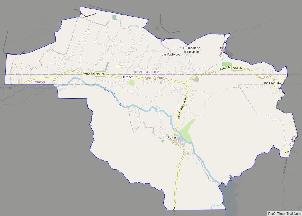
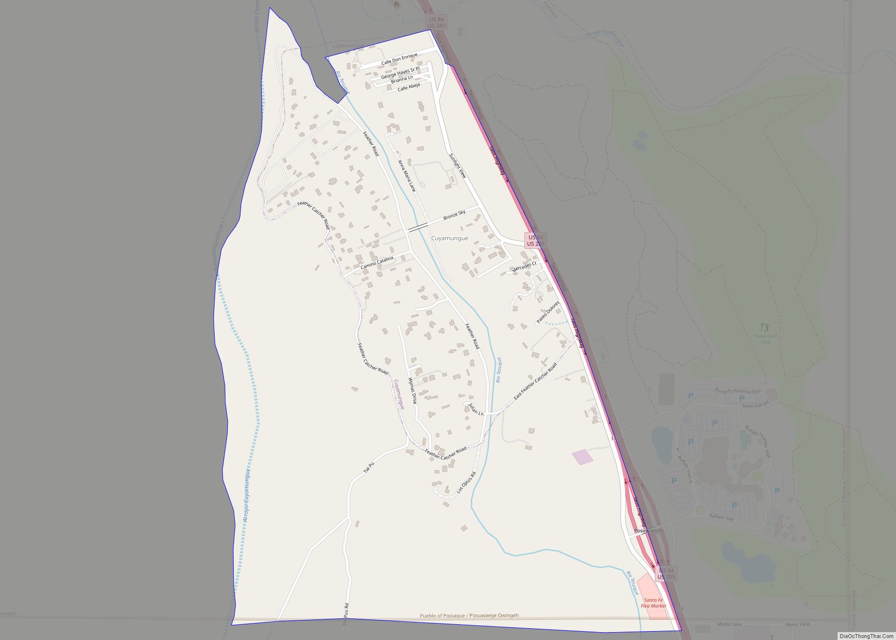
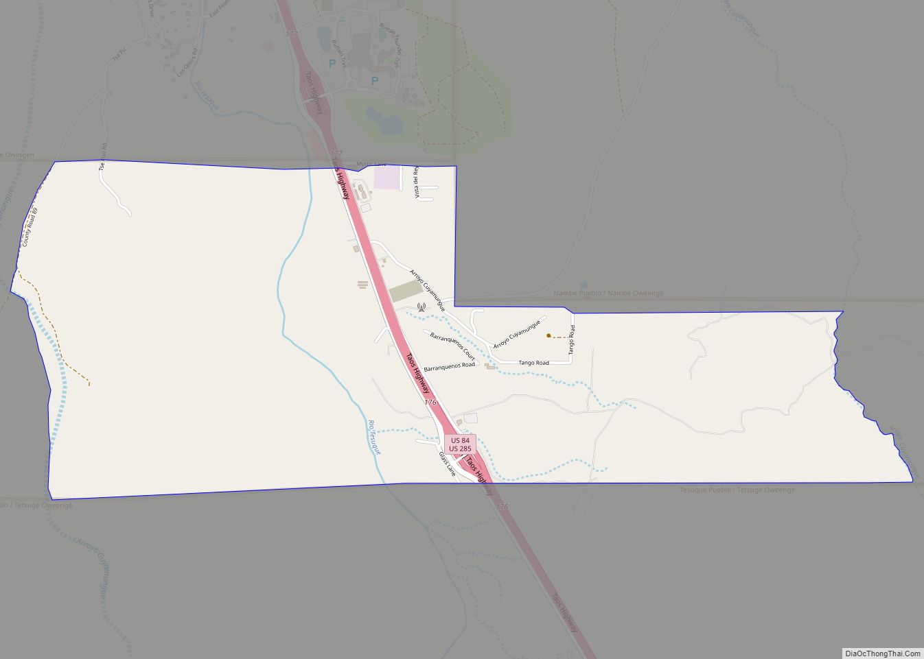
Online Interactive Map
Click on ![]() to view map in "full screen" mode.
to view map in "full screen" mode.
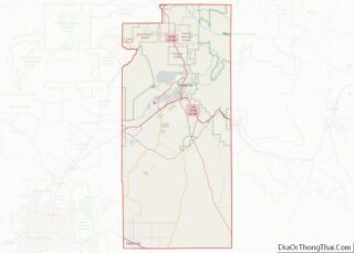
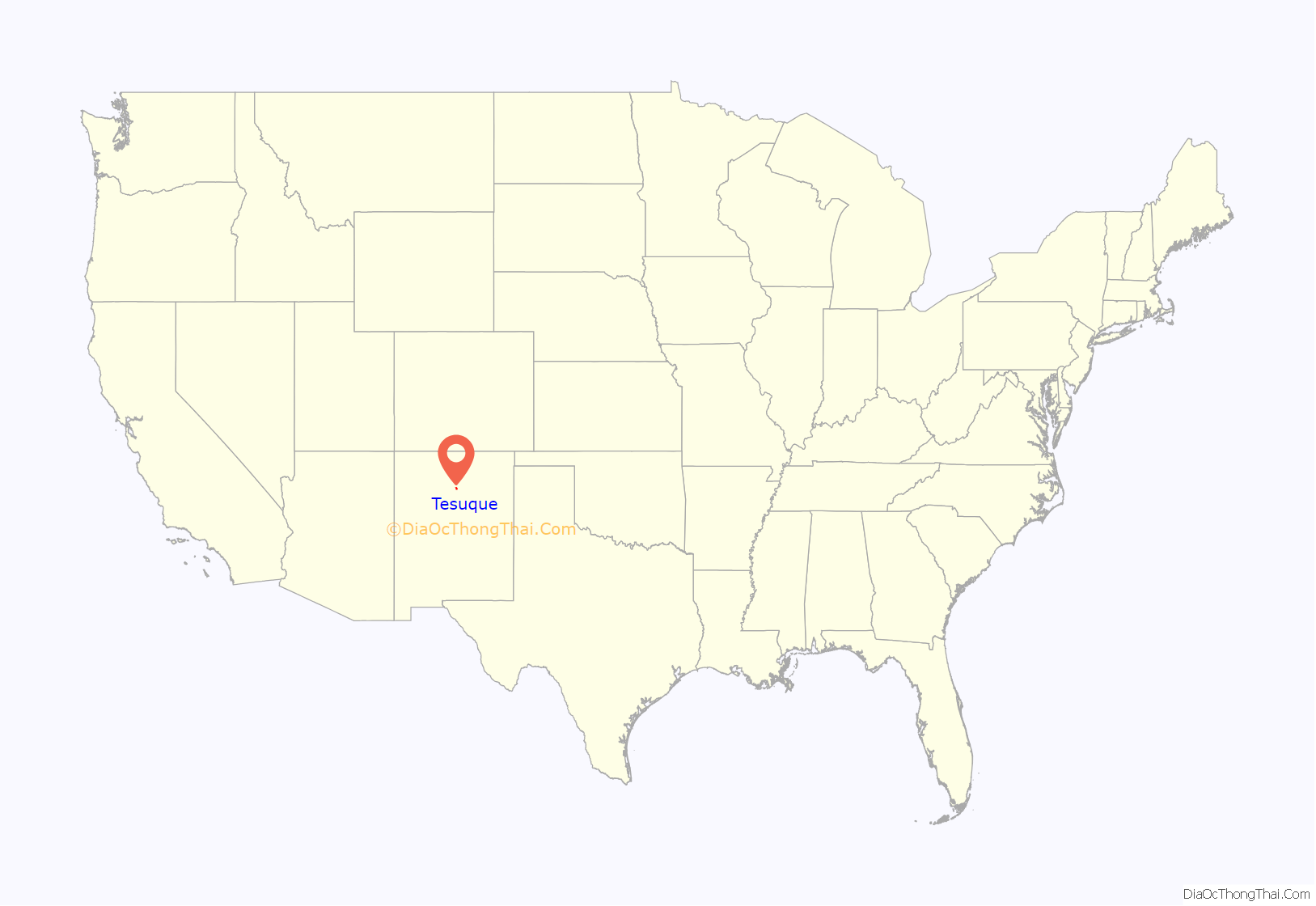
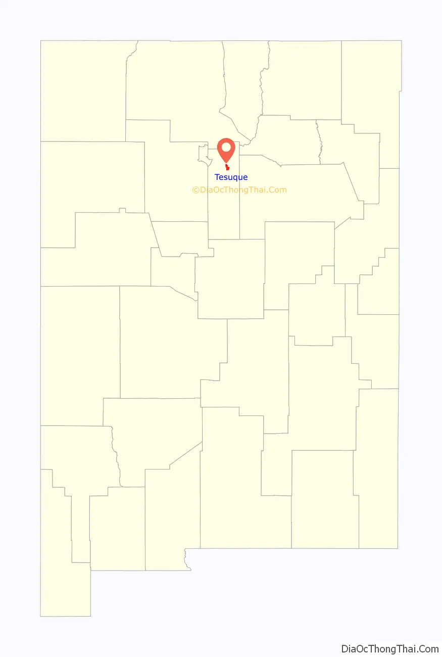
Tesuque location map. Where is Tesuque CDP?
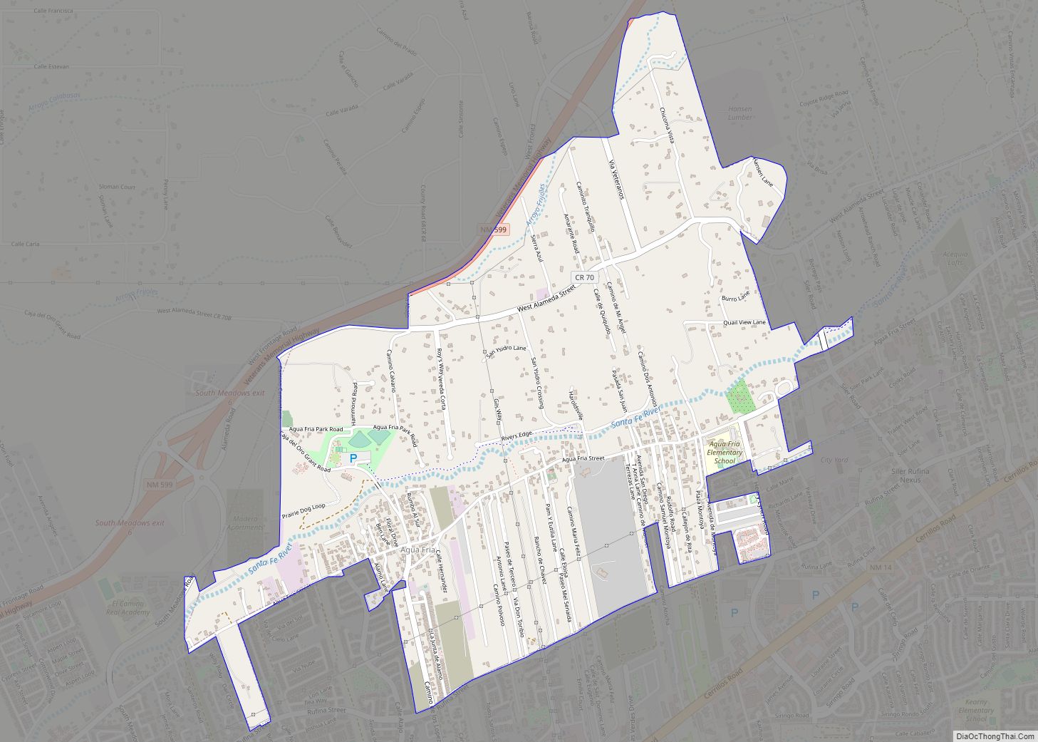
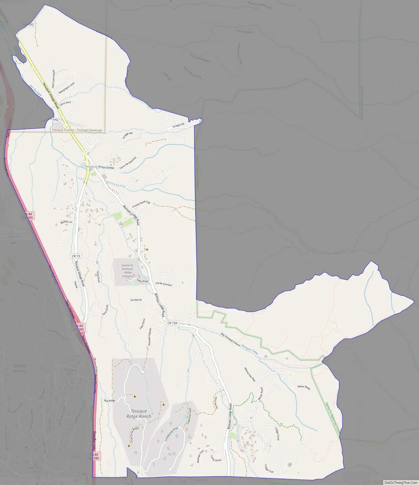
Tesuque Road Map
Tesuque city Satellite Map
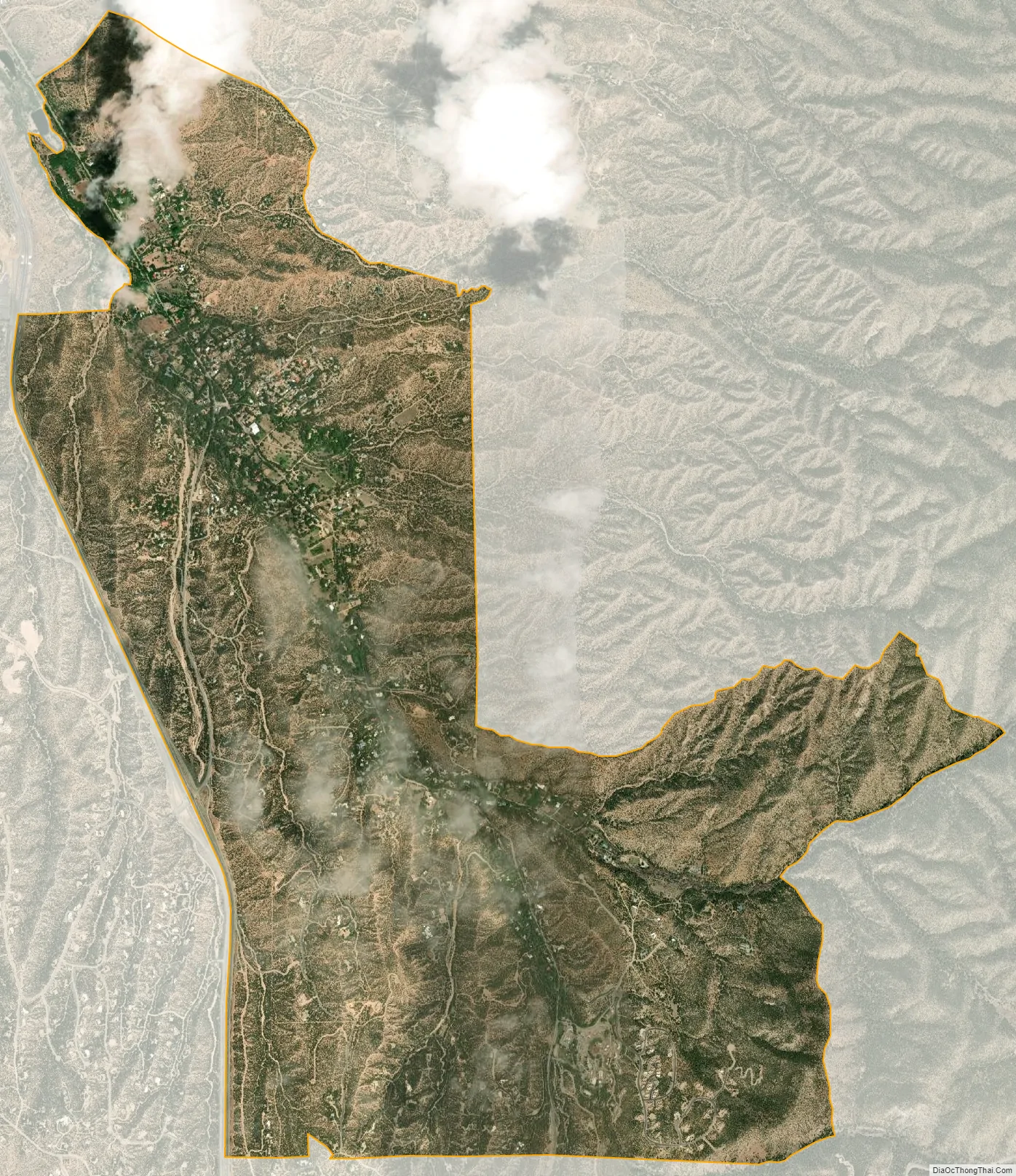
Geography
Tesuque is located at 35°44′46″N 105°55′20″W / 35.74611°N 105.92222°W / 35.74611; -105.92222 (35.746069, -105.922108). According to the United States Census Bureau, the CDP has a total area of 7.0 square miles (18 km), all land. Camel Rock is a distinctive rock formation. The landmark is along U.S. Routes 84/285 across from the Camel Rock Studios owned by Tesuque Pueblo.
See also
Map of New Mexico State and its subdivision: Map of other states:- Alabama
- Alaska
- Arizona
- Arkansas
- California
- Colorado
- Connecticut
- Delaware
- District of Columbia
- Florida
- Georgia
- Hawaii
- Idaho
- Illinois
- Indiana
- Iowa
- Kansas
- Kentucky
- Louisiana
- Maine
- Maryland
- Massachusetts
- Michigan
- Minnesota
- Mississippi
- Missouri
- Montana
- Nebraska
- Nevada
- New Hampshire
- New Jersey
- New Mexico
- New York
- North Carolina
- North Dakota
- Ohio
- Oklahoma
- Oregon
- Pennsylvania
- Rhode Island
- South Carolina
- South Dakota
- Tennessee
- Texas
- Utah
- Vermont
- Virginia
- Washington
- West Virginia
- Wisconsin
- Wyoming