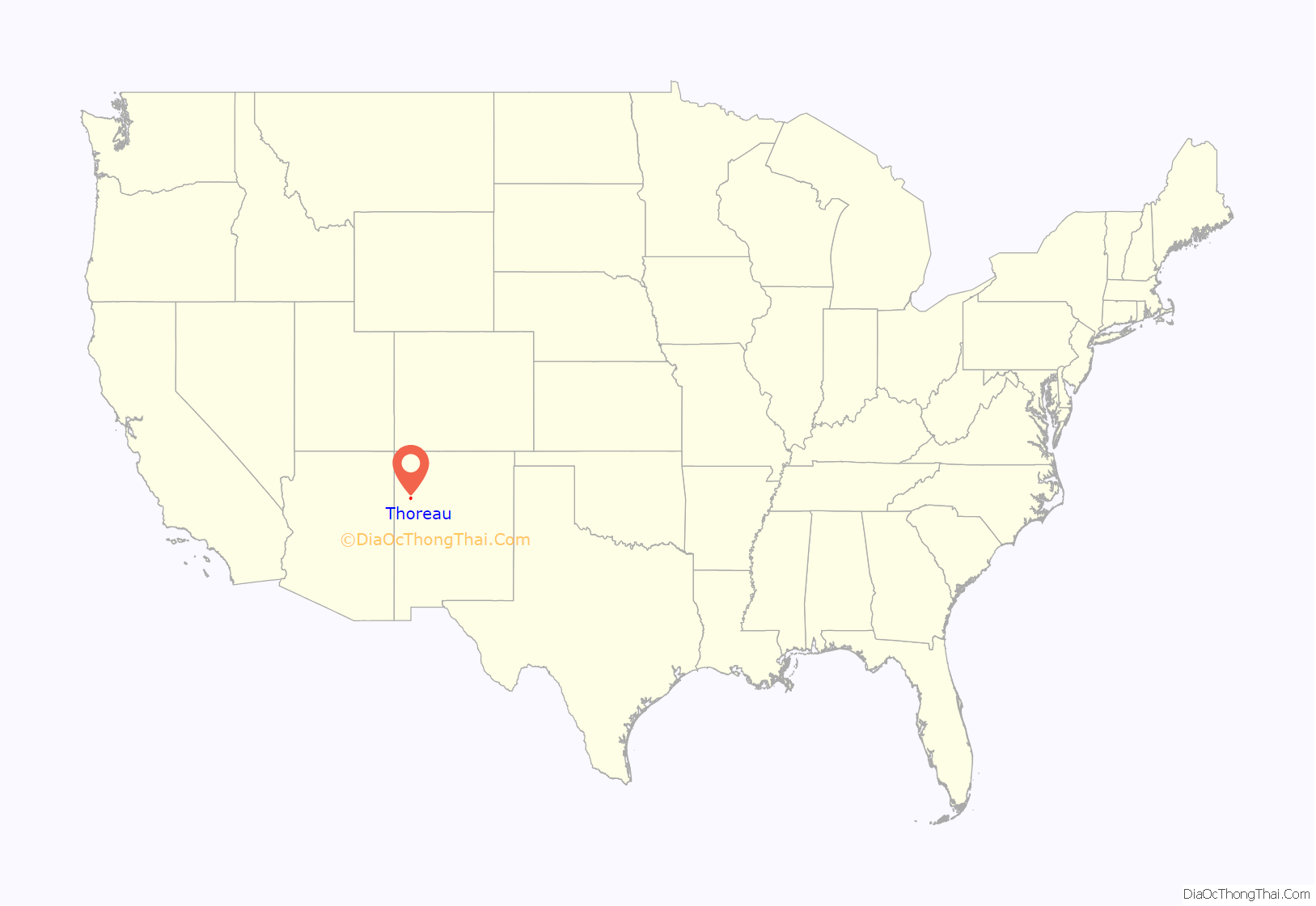
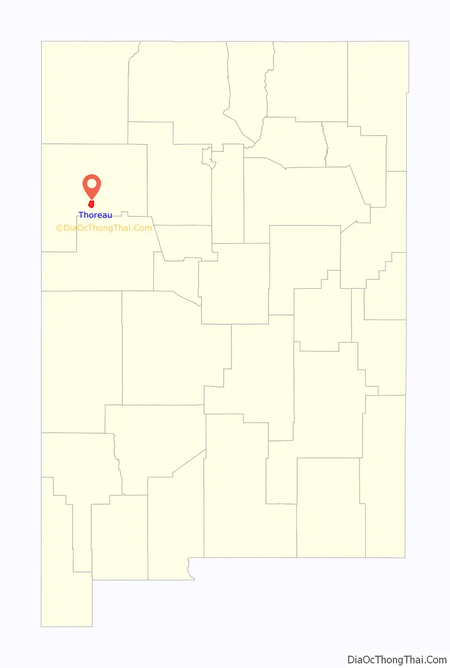
Thoreau (Navajo: Dlǫ́ʼí Yázhí) is a census-designated place (CDP) in McKinley County, New Mexico, United States. The population was 1,863 at the 2000 census. It is majority Native American, primarily of the Navajo Nation, as this community is located within its boundaries.
Practically all residents pronounce the town’s name like “thuh-ROO” (similar to “through” or “threw”) and not like “thorough” or “throw.” A history of the town was compiled by local author Roxanne Trout Heath in her book Thoreau, Where the Trails Cross!, published in 1982. The ZIP code for Thoreau is 87323.
| Name: | Thoreau CDP |
|---|---|
| LSAD Code: | 57 |
| LSAD Description: | CDP (suffix) |
| State: | New Mexico |
| County: | McKinley County |
| Elevation: | 7,200 ft (2,200 m) |
| Total Area: | 39.47 sq mi (102.24 km²) |
| Land Area: | 39.47 sq mi (102.23 km²) |
| Water Area: | 0.00 sq mi (0.00 km²) |
| Total Population: | 2,367 |
| Population Density: | 59.97/sq mi (23.15/km²) |
| ZIP code: | 87323 |
| Area code: | 505 |
| FIPS code: | 3577530 |
| GNISfeature ID: | 0911673 |
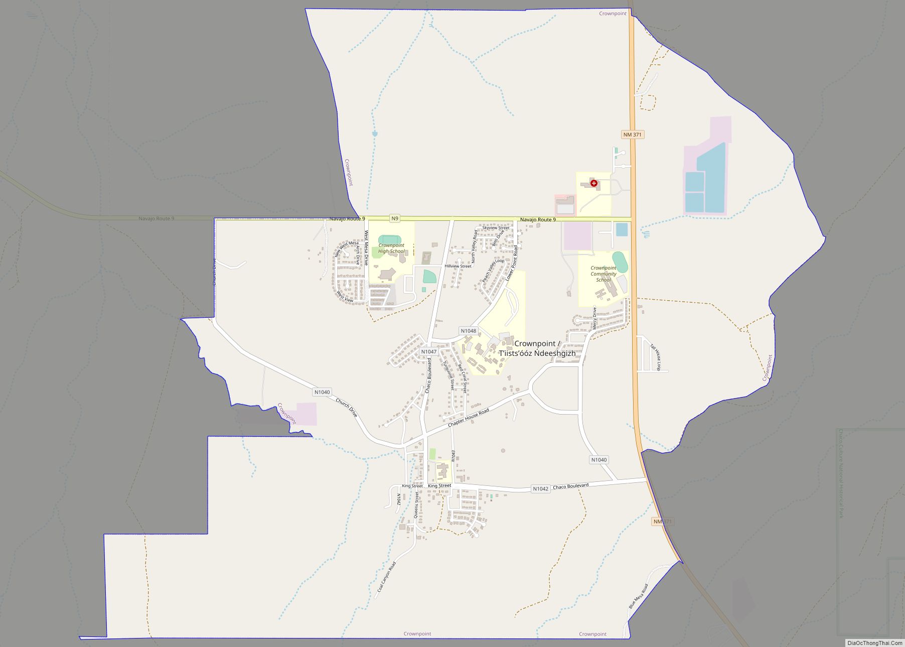
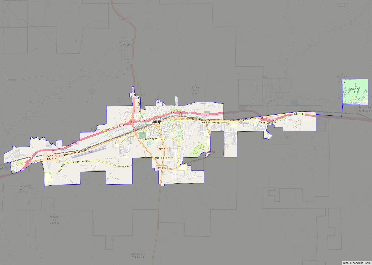
Online Interactive Map
Click on ![]() to view map in "full screen" mode.
to view map in "full screen" mode.
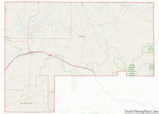
Thoreau location map. Where is Thoreau CDP?
Thoreau Road Map
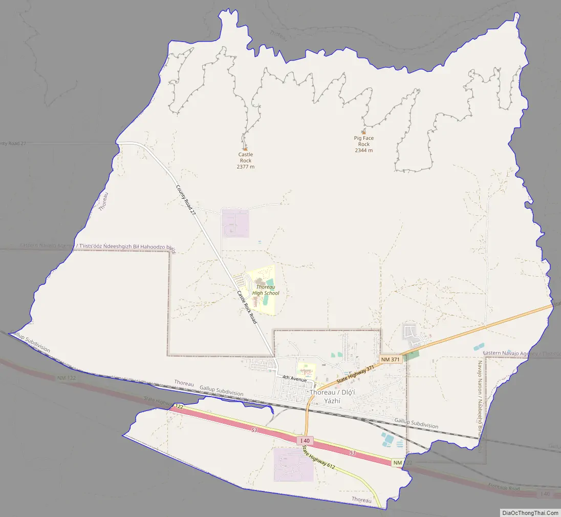
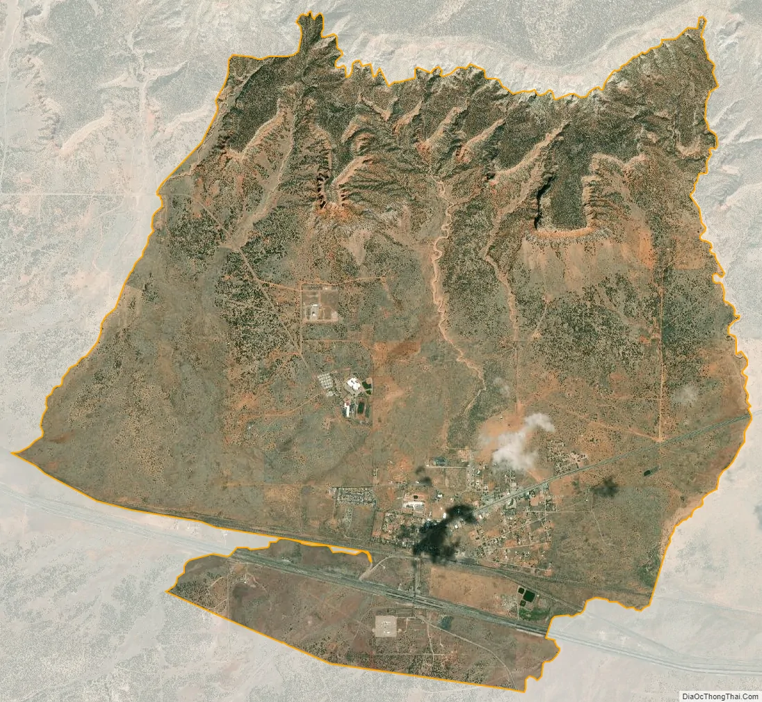
Thoreau city Satellite Map
Geography
Thoreau is located at 35°24′52″N 108°13′25″W / 35.414370°N 108.223594°W / 35.414370; -108.223594 (35.414370, -108.223594).
According to the United States Census Bureau, the CDP has a total area of 15.9 square miles (41 km), all land.
Thoreau is located at an altitude of approximately 2,200 meters (7,200 feet) above sea level, and 8 kilometers (5.0 mi) east of the continental divide. Thoreau is located in a broad valley beneath a large escarpment of Entrada sandstone, which marks the southern boundary of the Colorado Plateau to the north. Mount Powell and Castle Rock are landmarks along this escarpment adjacent to Thoreau. The Zuñi Mountains are to the south.
Interstate40 and the historic U.S. Route 66 pass near and through the community, respectively. New Mexico State highways 122, 371, and 612 also pass through or terminate here. Additionally, two natural gas pipelines and a major railway pass through the community.
The climate in Thoreau is arid, with the sparse vegetation typical of the region. Common plants include pinyon pine and juniper trees, sagebrush, tumbleweeds, and some short, sparse grasses. The four seasons are well pronounced. Summers are relatively mild, due to Thoreau’s high elevation and persistently low humidities. Maximum temperatures do not usually exceed about 33 °C (91 °F). The Southwest monsoon brings thunderstorms with frequent lightning in July and August. Autumn is pleasant with warm days and cool nights. Winter is marked by frequent snowstorms, with minimum temperatures sometimes dropping to about −15 °C (5 °F) or colder. Cold, persistent, very high winds are common in Spring, usually through much of the month of March.
See also
Map of New Mexico State and its subdivision: Map of other states:- Alabama
- Alaska
- Arizona
- Arkansas
- California
- Colorado
- Connecticut
- Delaware
- District of Columbia
- Florida
- Georgia
- Hawaii
- Idaho
- Illinois
- Indiana
- Iowa
- Kansas
- Kentucky
- Louisiana
- Maine
- Maryland
- Massachusetts
- Michigan
- Minnesota
- Mississippi
- Missouri
- Montana
- Nebraska
- Nevada
- New Hampshire
- New Jersey
- New Mexico
- New York
- North Carolina
- North Dakota
- Ohio
- Oklahoma
- Oregon
- Pennsylvania
- Rhode Island
- South Carolina
- South Dakota
- Tennessee
- Texas
- Utah
- Vermont
- Virginia
- Washington
- West Virginia
- Wisconsin
- Wyoming