Zuni Pueblo (also Zuñi Pueblo, Zuni: Halona Idiwan’a meaning ‘Middle Place’) is a census-designated place (CDP) in McKinley County, New Mexico, United States. The population was 6,302 as of the 2010 Census. It is inhabited largely by members of the Zuni people (A:shiwi).
The first contact with Spaniards occurred in 1539 in the ancient village of Hawikku when Esteban, an Arab/Berber of Moroccan origin, entered Zuni territory seeking the fabled “Seven Cities of Cibola” and when Marco da Nizza, an Italian franciscan, reached Zuni Pueblo and called it Cibola.
It is on the Trails of the Ancients Byway, one of the designated New Mexico Scenic Byways.
| Name: | Zuni Pueblo CDP |
|---|---|
| LSAD Code: | 57 |
| LSAD Description: | CDP (suffix) |
| State: | New Mexico |
| County: | McKinley County |
| Elevation: | 6,293 ft (1,918 m) |
| Total Area: | 12.62 sq mi (32.69 km²) |
| Land Area: | 12.62 sq mi (32.69 km²) |
| Water Area: | 0.00 sq mi (0.00 km²) |
| Total Population: | 6,176 |
| Population Density: | 489.27/sq mi (188.91/km²) |
| ZIP code: | 87327 |
| Area code: | 505 |
| FIPS code: | 3586595 |
| GNISfeature ID: | 1867391 |
| Website: | www.ashiwi.org |
Online Interactive Map
Click on ![]() to view map in "full screen" mode.
to view map in "full screen" mode.
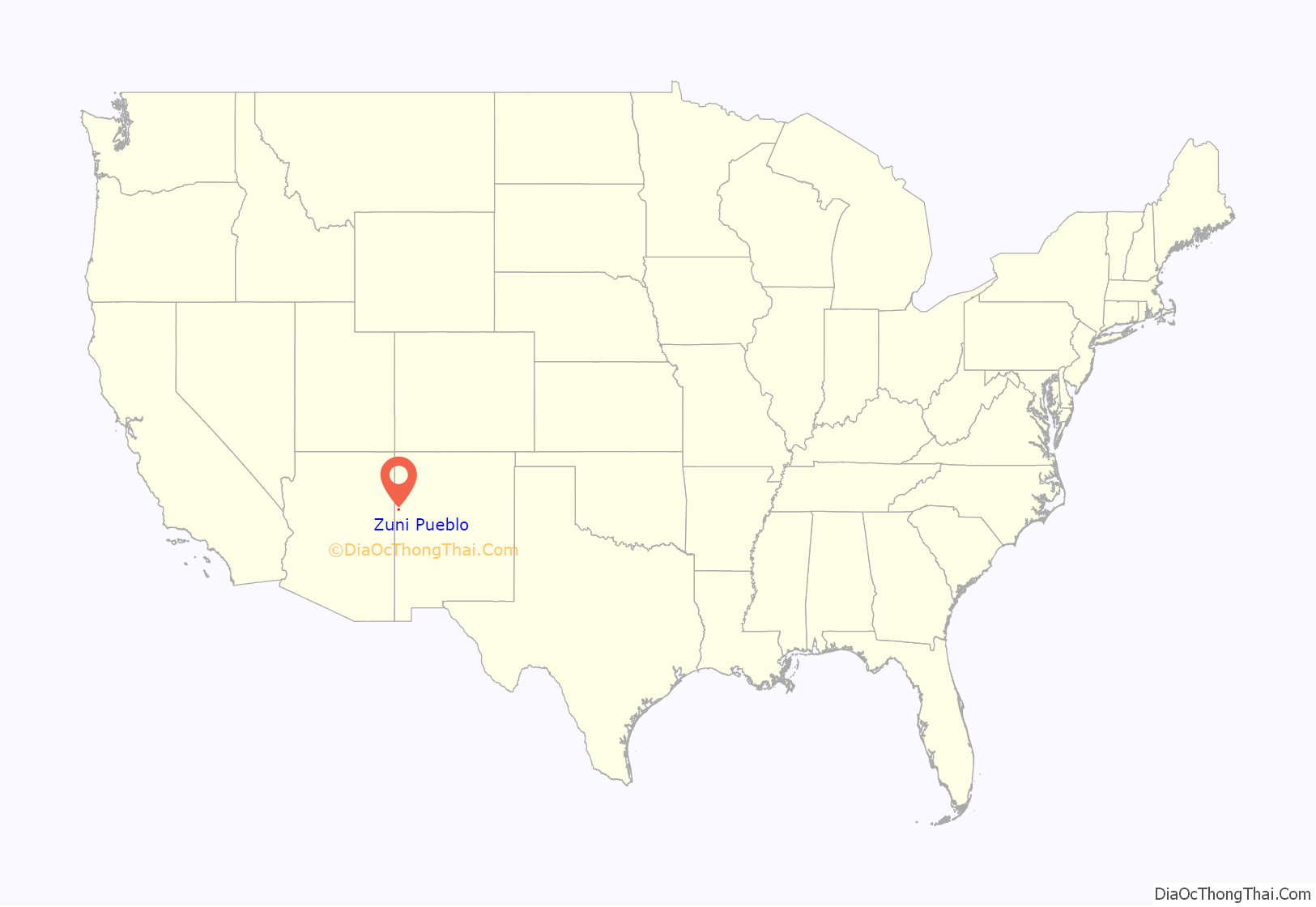
Zuni Pueblo location map. Where is Zuni Pueblo CDP?
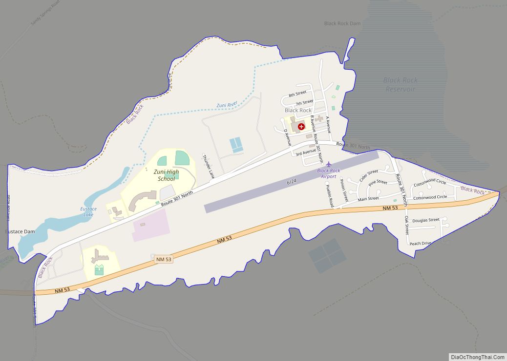
Zuni Pueblo Road Map
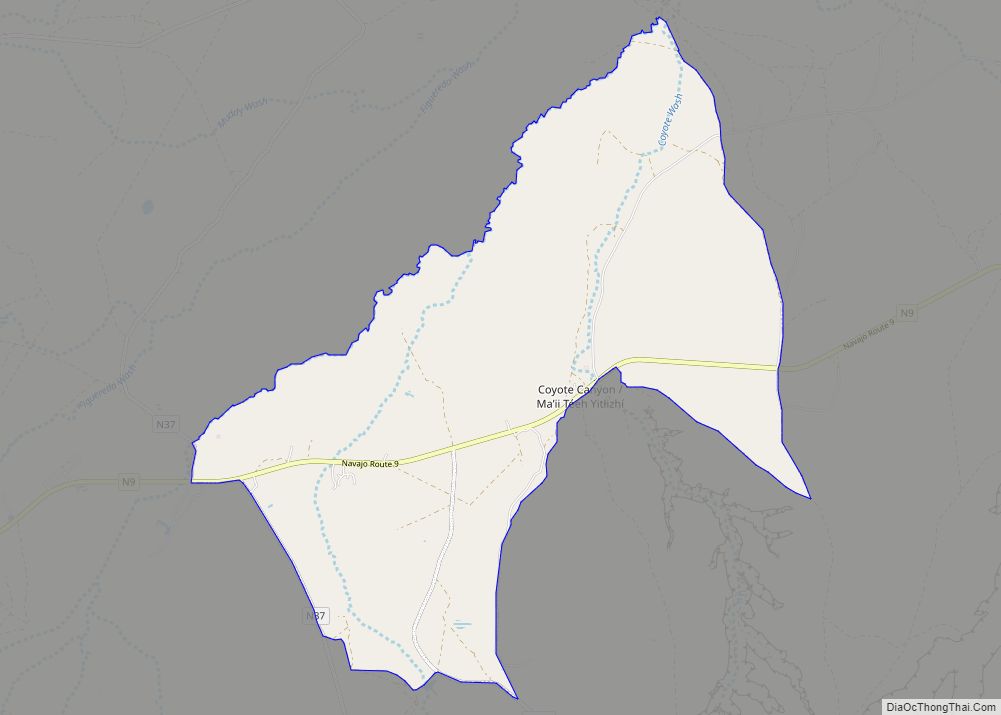
Zuni Pueblo city Satellite Map
Geography
Zuni Pueblo is located at 35°4′10″N 108°50′48″W / 35.06944°N 108.84667°W / 35.06944; -108.84667 (35.069327, -108.846716).
According to the United States Census Bureau, the CDP has a total area of 8.8 square miles (23 km), all land.
See also
Map of New Mexico State and its subdivision: Map of other states:- Alabama
- Alaska
- Arizona
- Arkansas
- California
- Colorado
- Connecticut
- Delaware
- District of Columbia
- Florida
- Georgia
- Hawaii
- Idaho
- Illinois
- Indiana
- Iowa
- Kansas
- Kentucky
- Louisiana
- Maine
- Maryland
- Massachusetts
- Michigan
- Minnesota
- Mississippi
- Missouri
- Montana
- Nebraska
- Nevada
- New Hampshire
- New Jersey
- New Mexico
- New York
- North Carolina
- North Dakota
- Ohio
- Oklahoma
- Oregon
- Pennsylvania
- Rhode Island
- South Carolina
- South Dakota
- Tennessee
- Texas
- Utah
- Vermont
- Virginia
- Washington
- West Virginia
- Wisconsin
- Wyoming
