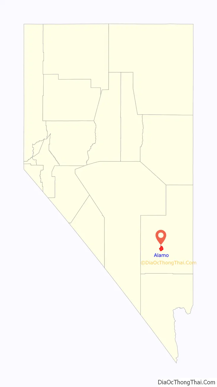
Alamo is an unincorporated town in Lincoln County, Nevada, United States, about 90 miles (140 km) north of Las Vegas along U.S. Route 93. Its elevation is 3,449 feet (1,051 m). As of the 2010 census it had a population of 1,080.
| Name: | Alamo CDP |
|---|---|
| LSAD Code: | 57 |
| LSAD Description: | CDP (suffix) |
| State: | Nevada |
| County: | Lincoln County |
| Elevation: | 3,449 ft (1,051 m) |
| Total Area: | 6.35 sq mi (16.45 km²) |
| Land Area: | 6.35 sq mi (16.45 km²) |
| Water Area: | 0.00 sq mi (0.00 km²) |
| Total Population: | 785 |
| Population Density: | 123.62/sq mi (47.73/km²) |
| ZIP code: | 89001 |
| FIPS code: | 3200500 |
| GNISfeature ID: | 0845339 |
Online Interactive Map
Click on ![]() to view map in "full screen" mode.
to view map in "full screen" mode.
Alamo location map. Where is Alamo CDP?
History
A post office has been in operation at Alamo since 1905. The community was named in commemoration of the Battle of the Alamo. A large share of the first settlers were Mormons.
Alamo banned alcohol sales due to the religious roots and principles of the settlers. Many of the residents are members of The Church of Jesus Christ of Latter-day Saints, and their faith “preaches abstinence from alcohol”. In 2022, the town board proposed allowing alcohol sales in gas stations and supermarkets but continue to restrict bars.
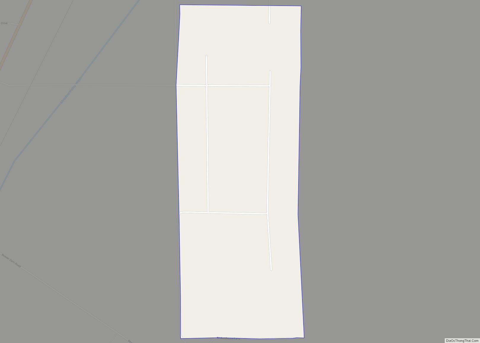
Alamo Road Map
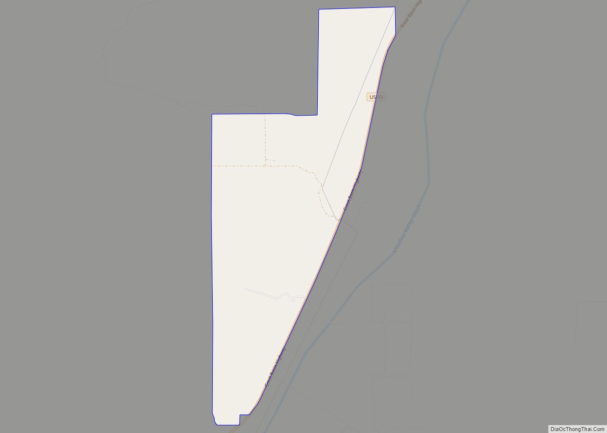
Alamo city Satellite Map
Geography
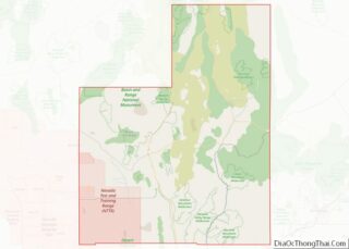
Alamo lies in the Pahranagat Valley. Its economy is dependent primarily upon ranching. The closest attraction is the Pahranagat National Wildlife Refuge.
Between Alamo and the town of Rachel is the site of the Devonian Alamo Impact Breccia.
According to the U.S. Census Bureau, the Alamo census-designated place has an area of 30.3 square miles (78.4 km), all of it land.
See also
Map of Nevada State and its subdivision: Map of other states:- Alabama
- Alaska
- Arizona
- Arkansas
- California
- Colorado
- Connecticut
- Delaware
- District of Columbia
- Florida
- Georgia
- Hawaii
- Idaho
- Illinois
- Indiana
- Iowa
- Kansas
- Kentucky
- Louisiana
- Maine
- Maryland
- Massachusetts
- Michigan
- Minnesota
- Mississippi
- Missouri
- Montana
- Nebraska
- Nevada
- New Hampshire
- New Jersey
- New Mexico
- New York
- North Carolina
- North Dakota
- Ohio
- Oklahoma
- Oregon
- Pennsylvania
- Rhode Island
- South Carolina
- South Dakota
- Tennessee
- Texas
- Utah
- Vermont
- Virginia
- Washington
- West Virginia
- Wisconsin
- Wyoming

