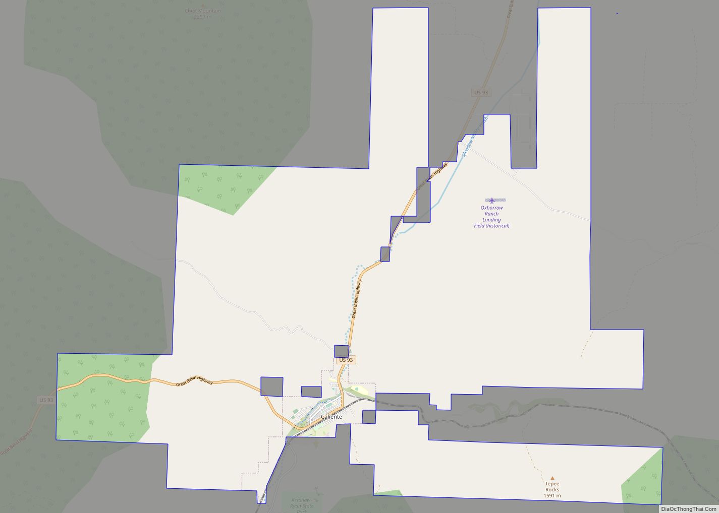
Caliente /kæliˈɛni/, /kæliˈɛnti/, formerly known as Culverwell and Calientes, is a city in Lincoln County, Nevada, United States. Its elevation is 4,300 feet (1,300 m). The population was 1,130 at the 2010 census, making it the least populated incorporated city in Nevada. The city’s name originated from the nearby hot springs, as “caliente” is the Spanish word meaning “hot”.
| Name: | Caliente city |
|---|---|
| LSAD Code: | 25 |
| LSAD Description: | city (suffix) |
| State: | Nevada |
| County: | Lincoln County |
| Elevation: | 4,406 ft (1,343 m) |
| Total Area: | 53.02 sq mi (137.33 km²) |
| Land Area: | 53.02 sq mi (137.33 km²) |
| Water Area: | 0.00 sq mi (0.00 km²) |
| Total Population: | 990 |
| Population Density: | 18.67/sq mi (7.21/km²) |
| ZIP code: | 89008 |
| Area code: | 775 |
| FIPS code: | 3208500 |
| GNISfeature ID: | 0847266 |
| Website: | www.cityofcaliente.com |
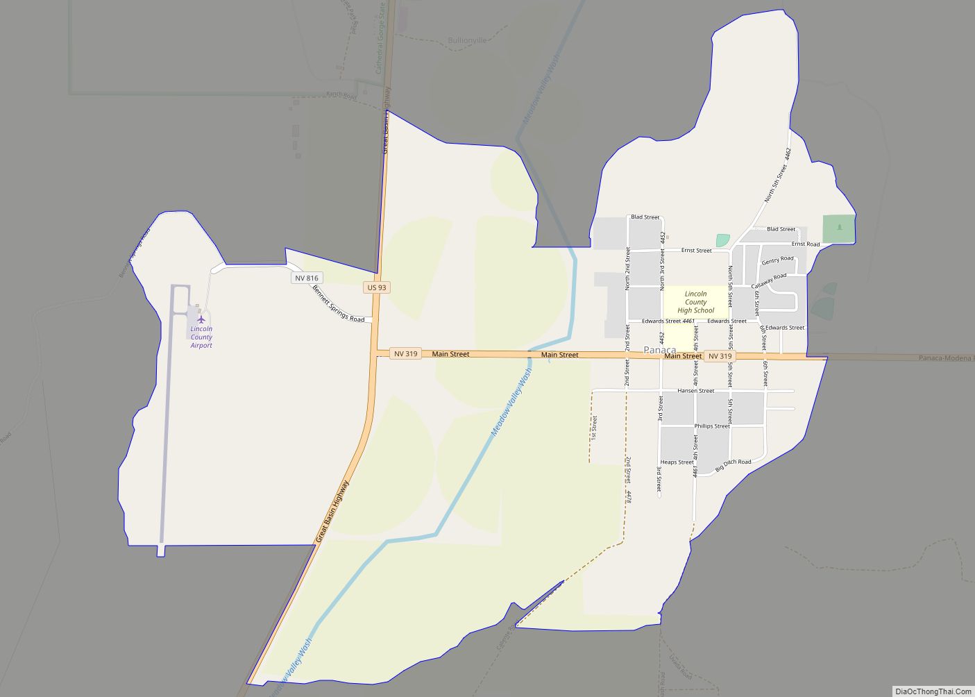
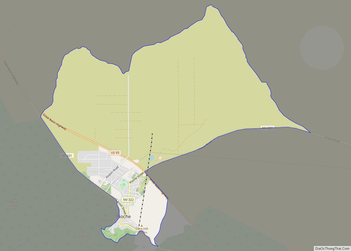
Online Interactive Map
Click on ![]() to view map in "full screen" mode.
to view map in "full screen" mode.
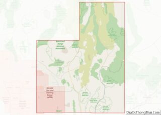
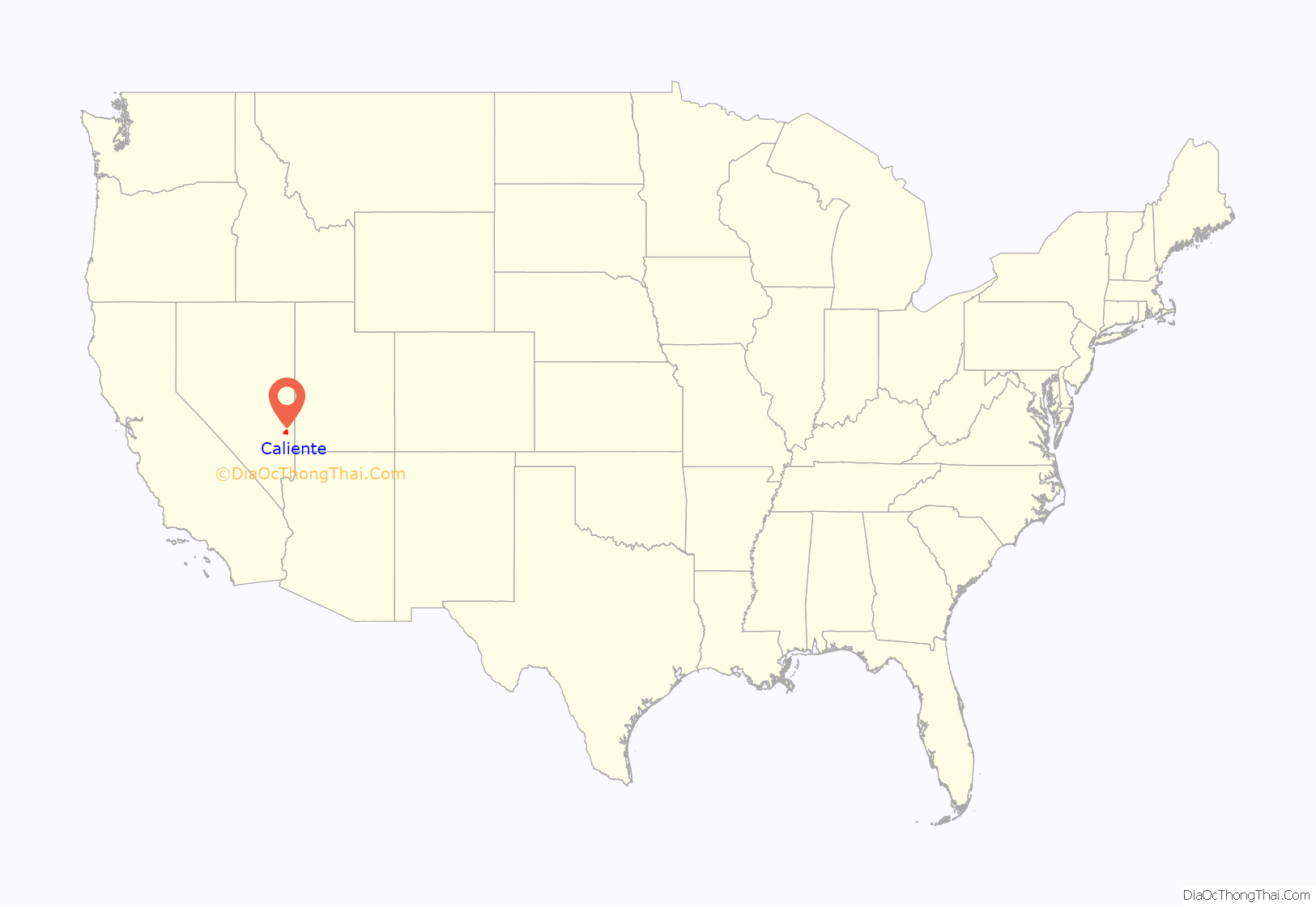
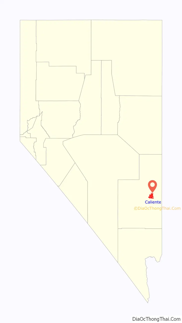
Caliente location map. Where is Caliente city?
History
Caliente was founded in 1901 on Culverwell Ranch (or just “Culverwell”), built on land owned by William and Charles Culverwell. The town was initially given the name of “Calientes”, due to the hot springs present in the area, but later in the year a post office was erected and workers removed the “s” from the name of the town. In 1905, the Union Pacific Railroad was completed, followed by the construction of the train depot in the style of Spanish mission architecture. The train depot, built in 1923, is now home to some city and county offices and a museum that exhibits historical information. Caliente once reached a peak of over 5,000 residents, but declined in the late 1940s as a result of rail dieselization.
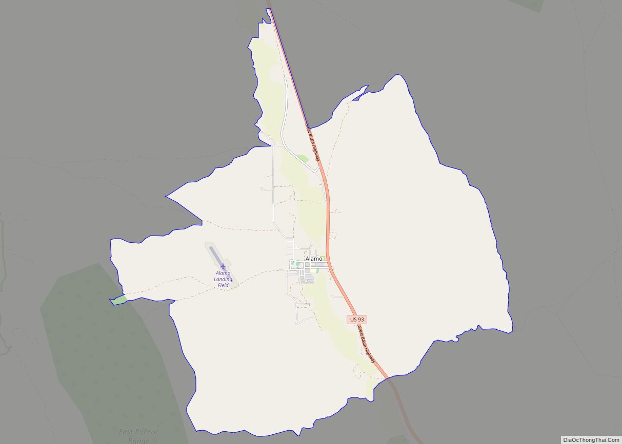
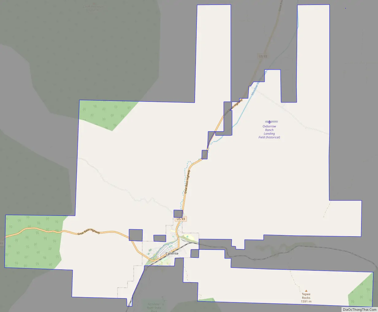
Caliente Road Map
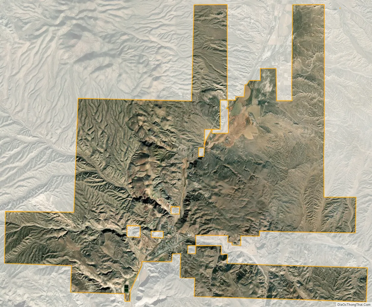
Caliente city Satellite Map
Geography
According to the United States Census Bureau, the city has a total area of 54.8 square miles (141.9 km), all of it land.
Caliente has a high-desert climate typical for a location around 4,000 feet (1,200 m) in elevation. Winters are chilly, but only moderately cold. Summers are characterized by blazing sunshine, long days, cool nights, and high diurnal temperature range. January highs average in the mid 40s, while July averages mid 90s.
A majority of precipitation occurs in the winter months (Nov – March) due to the yearly dip of the jetstream bringing Pacific storms. Temperatures in summer are very warm to hot. The July average of 95.4 °F (35.2 °C) means that 100-degree days are a common occurrence in a typical summer. The elevation, aridity, and clear skies allow intense radiative cooling, even in midsummer. This means hot days are followed by mild evenings. Southerly monsoon rains from mid-July through September bring thunderstorms, increased dew points, and flash flooding.
See also
Map of Nevada State and its subdivision: Map of other states:- Alabama
- Alaska
- Arizona
- Arkansas
- California
- Colorado
- Connecticut
- Delaware
- District of Columbia
- Florida
- Georgia
- Hawaii
- Idaho
- Illinois
- Indiana
- Iowa
- Kansas
- Kentucky
- Louisiana
- Maine
- Maryland
- Massachusetts
- Michigan
- Minnesota
- Mississippi
- Missouri
- Montana
- Nebraska
- Nevada
- New Hampshire
- New Jersey
- New Mexico
- New York
- North Carolina
- North Dakota
- Ohio
- Oklahoma
- Oregon
- Pennsylvania
- Rhode Island
- South Carolina
- South Dakota
- Tennessee
- Texas
- Utah
- Vermont
- Virginia
- Washington
- West Virginia
- Wisconsin
- Wyoming