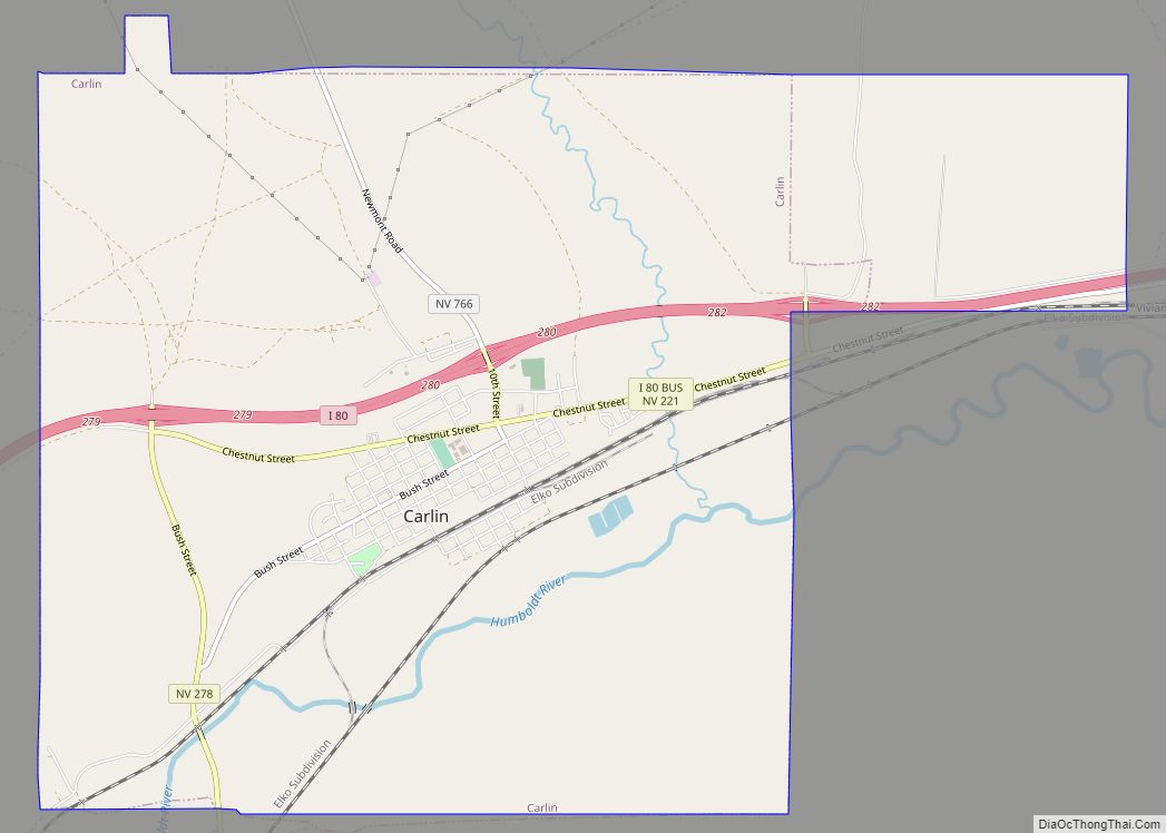
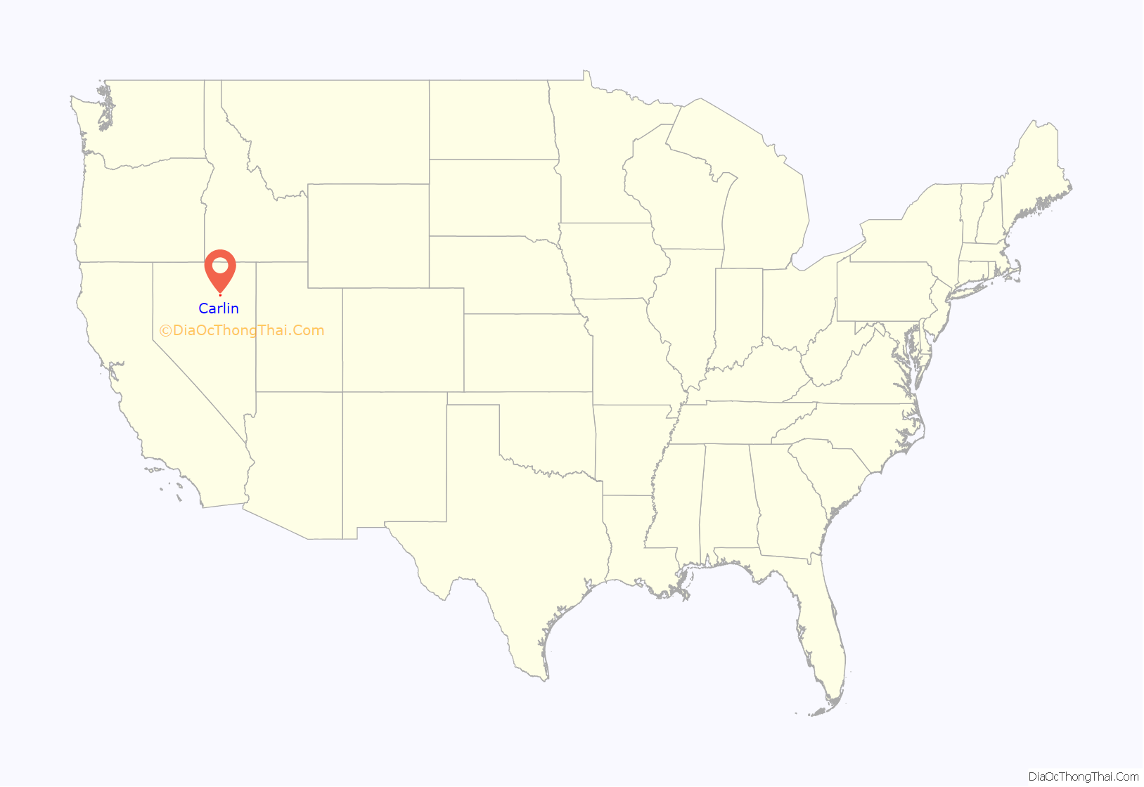
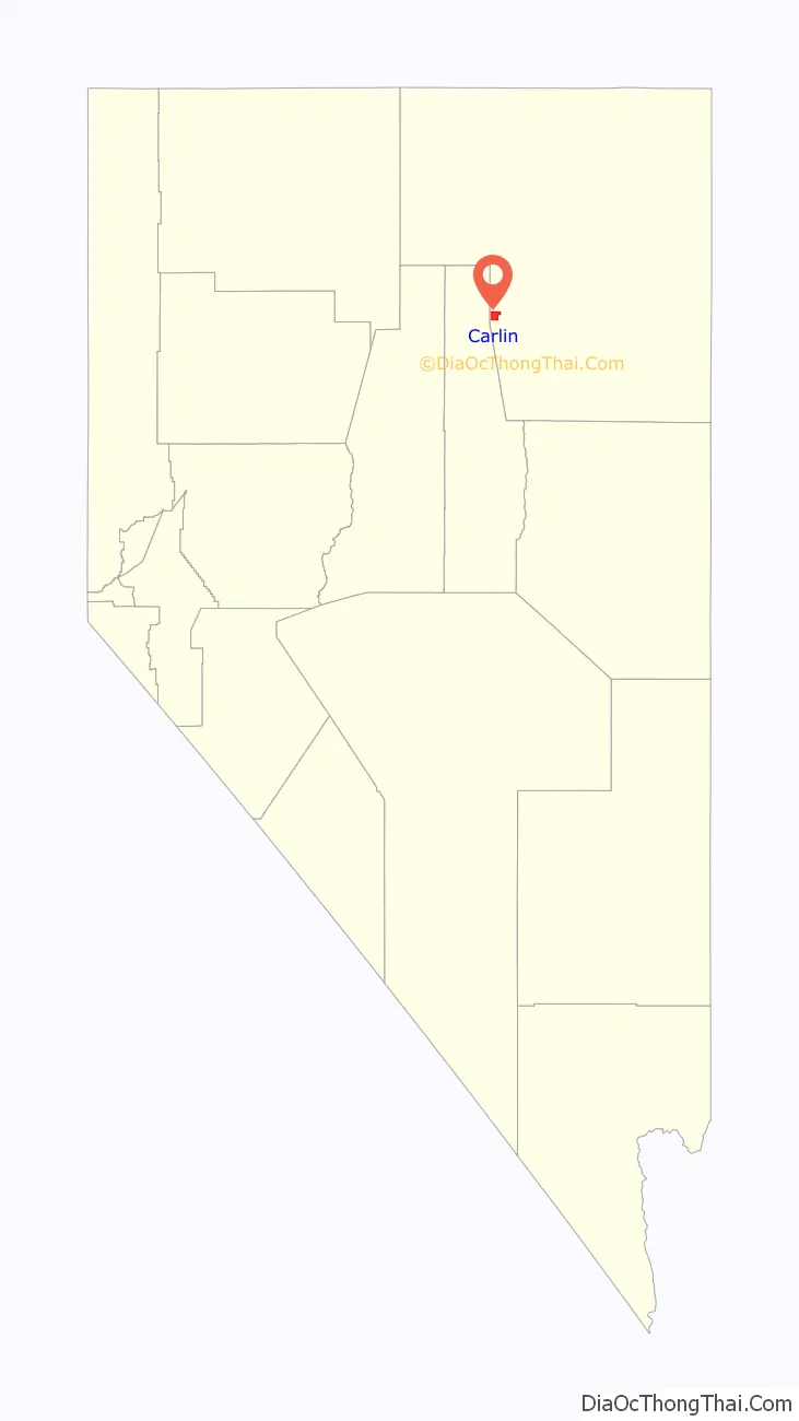
Carlin is a small city located near the western border of Elko County in northeast Nevada, 23 miles (37 km) west of the city of Elko. It is part of the Elko Micropolitan Statistical Area. Carlin sits along Interstate 80 at an elevation of approximately 4,900 feet (1,500 m). As of the 2010 census, its population was 2,368, up from 2,161 at the 2000 census. The city was named for Civil War general William Passmore Carlin. Its slogan is “Where the Train Stops…And the Gold Rush Begins”.
| Name: | Carlin city |
|---|---|
| LSAD Code: | 25 |
| LSAD Description: | city (suffix) |
| State: | Nevada |
| County: | Elko County |
| Elevation: | 4,905 ft (1,495 m) |
| Total Area: | 10.44 sq mi (27.05 km²) |
| Land Area: | 10.44 sq mi (27.05 km²) |
| Water Area: | 0.00 sq mi (0.00 km²) |
| Total Population: | 2,050 |
| Population Density: | 196.32/sq mi (75.80/km²) |
| ZIP code: | 89822 |
| Area code: | 775 |
| FIPS code: | 3208900 |
| GNISfeature ID: | 0847272 |
| Website: | www.explorecarlinnv.com |
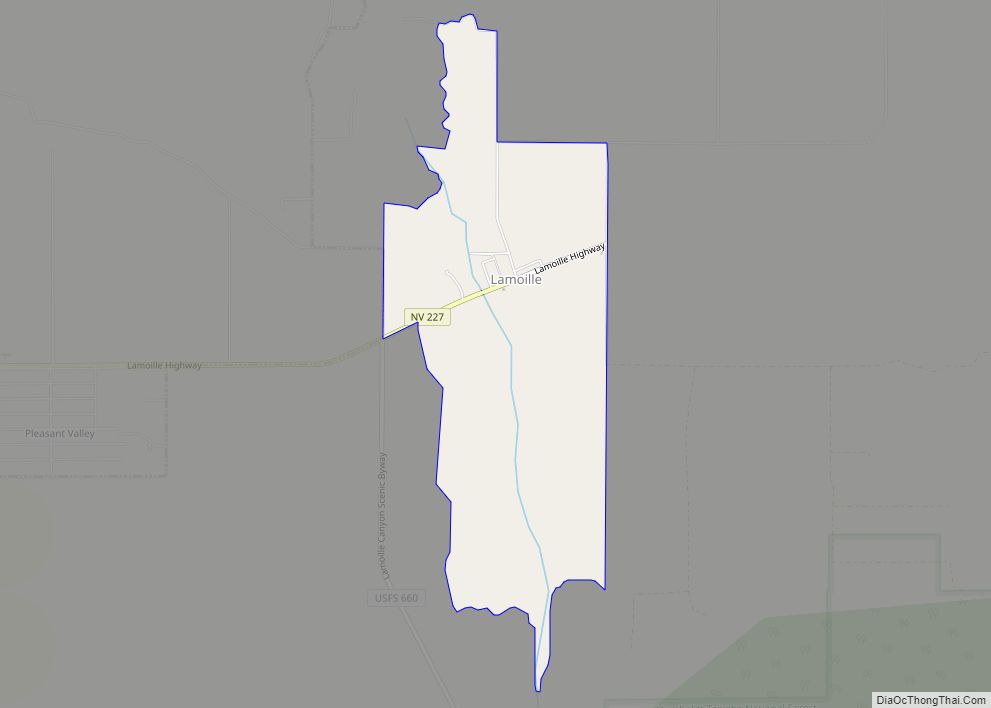
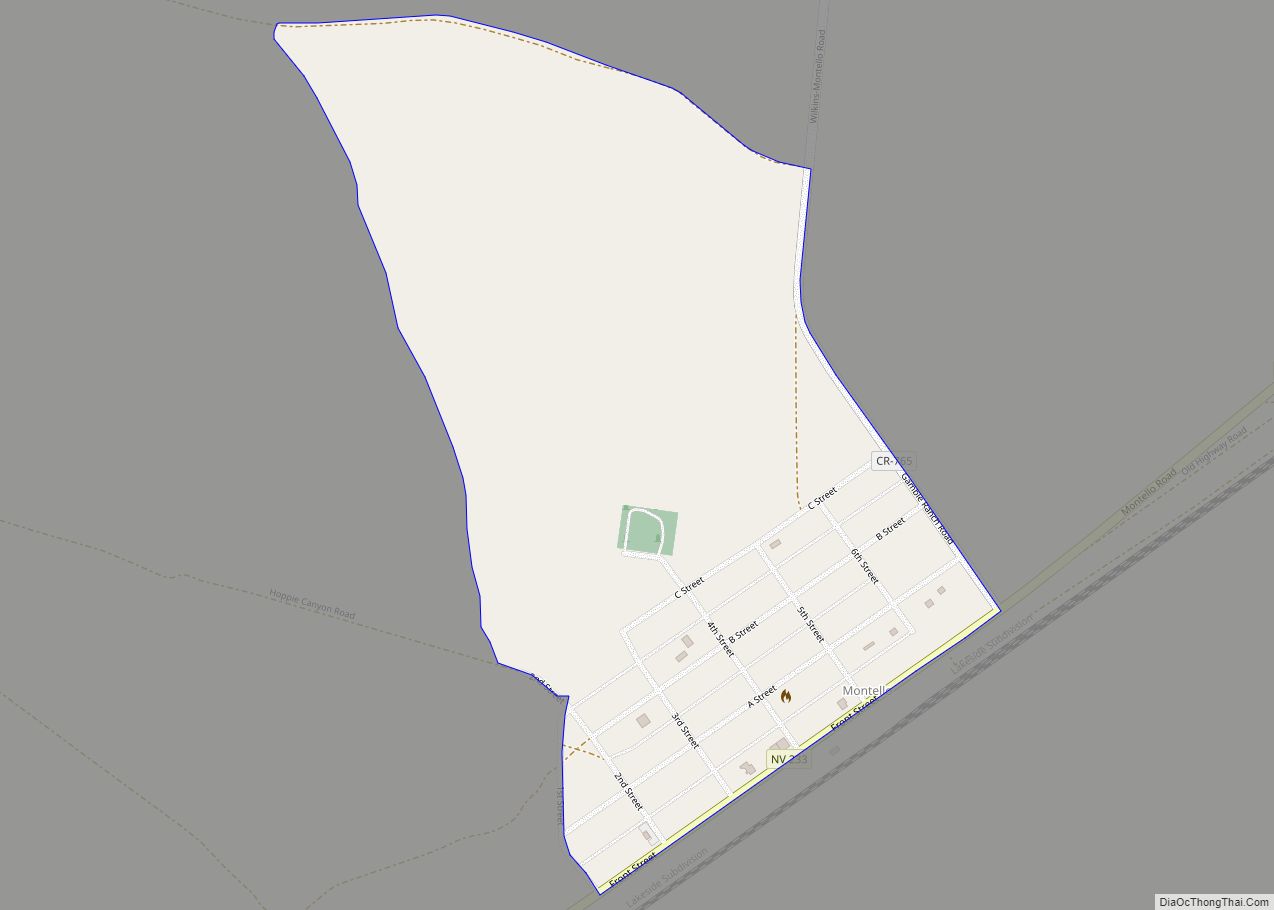
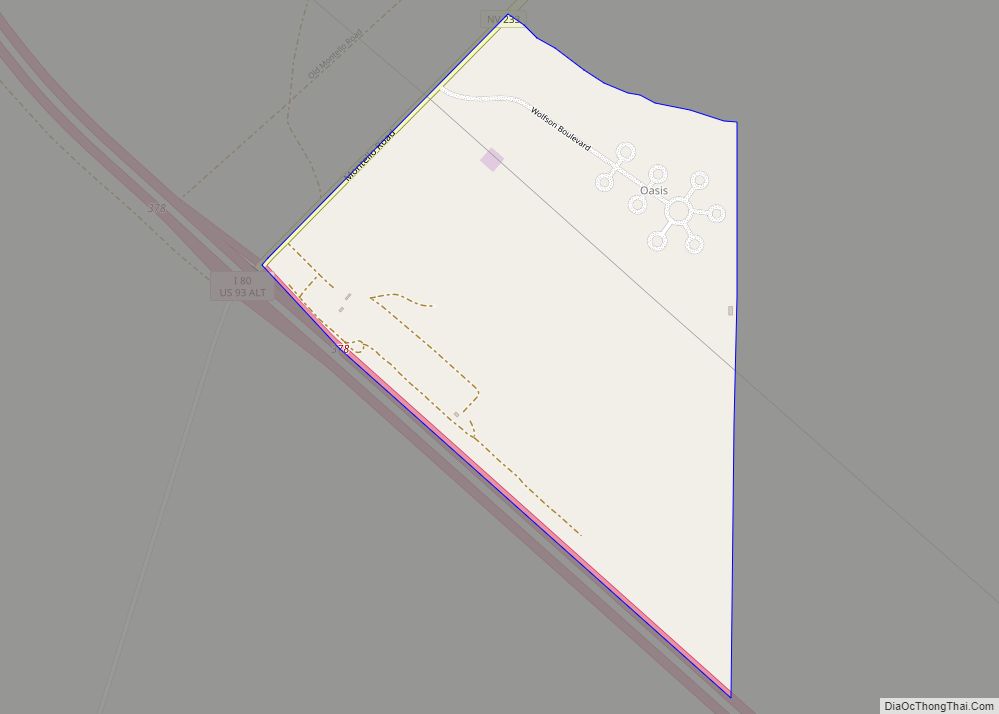
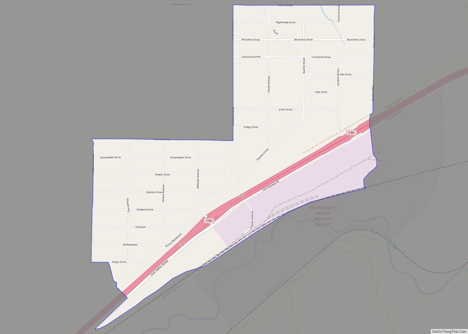
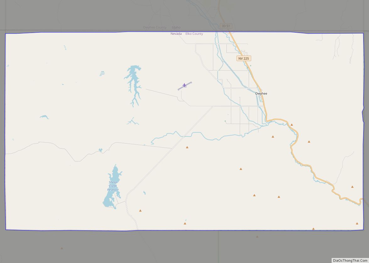
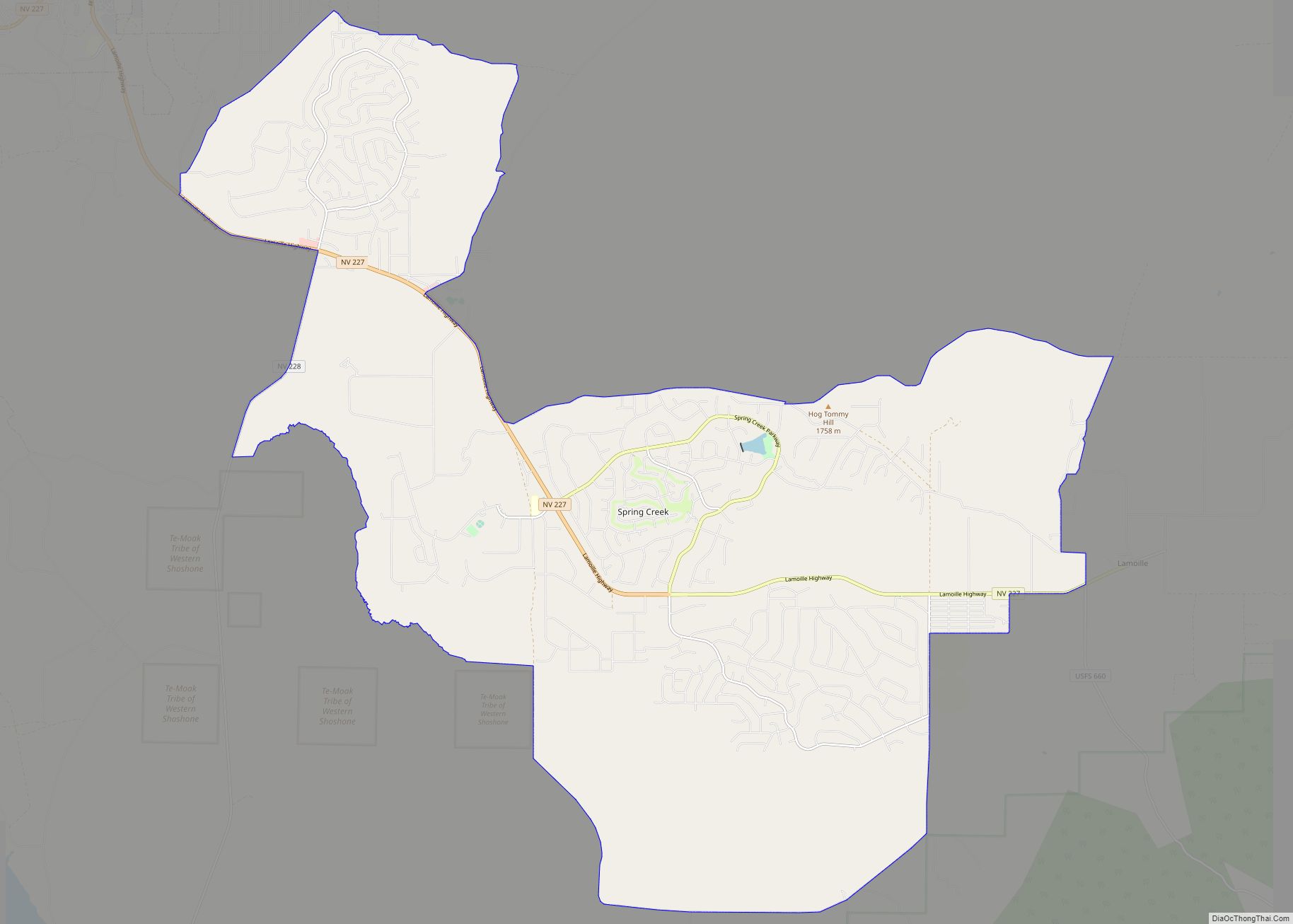
Online Interactive Map
Click on ![]() to view map in "full screen" mode.
to view map in "full screen" mode.
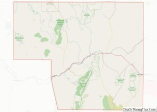
Carlin location map. Where is Carlin city?
History
On August 12, 1939, the City of San Francisco train derailed while crossing a bridge near Carlin, killing 24 and injuring 121. The wreck appeared to have been caused by sabotage but remains unsolved to this day. The train was operated by a joint partnership of the Chicago and North Western Railway, the Southern Pacific Railroad, and the Union Pacific Railroad.
Carlin was the home of the Native American medicine man John “Rolling Thunder” Pope (1916–1997), who had worked as a brakeman on the railway.
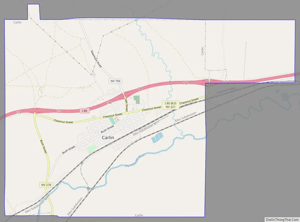
Carlin Road Map
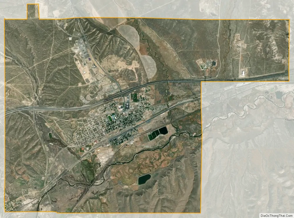
Carlin city Satellite Map
Geography
Carlin is located at 40°42′51″N 116°6′47″W / 40.71417°N 116.11306°W / 40.71417; -116.11306. To the northwest is the Carlin Trend, one of the most productive gold mining areas in the United States. According to the United States Census Bureau, the city has a total area of 27.0 square kilometres (10.4 sq mi), all of it land.
Climate
See also
Map of Nevada State and its subdivision: Map of other states:- Alabama
- Alaska
- Arizona
- Arkansas
- California
- Colorado
- Connecticut
- Delaware
- District of Columbia
- Florida
- Georgia
- Hawaii
- Idaho
- Illinois
- Indiana
- Iowa
- Kansas
- Kentucky
- Louisiana
- Maine
- Maryland
- Massachusetts
- Michigan
- Minnesota
- Mississippi
- Missouri
- Montana
- Nebraska
- Nevada
- New Hampshire
- New Jersey
- New Mexico
- New York
- North Carolina
- North Dakota
- Ohio
- Oklahoma
- Oregon
- Pennsylvania
- Rhode Island
- South Carolina
- South Dakota
- Tennessee
- Texas
- Utah
- Vermont
- Virginia
- Washington
- West Virginia
- Wisconsin
- Wyoming