Spring Creek is a census-designated place (CDP) in central Elko County, in northeastern Nevada in the western United States. It mainly serves as a bedroom community for the businesses and industries in and around the nearby city of Elko. It is part of the Elko Micropolitan Statistical Area. The population was 12,361 at the 2010 census.
| Name: | Spring Creek CDP |
|---|---|
| LSAD Code: | 57 |
| LSAD Description: | CDP (suffix) |
| State: | Nevada |
| County: | Elko County |
| Elevation: | 5,659 ft (1,725 m) |
| Total Area: | 53.73 sq mi (139.17 km²) |
| Land Area: | 53.67 sq mi (138.99 km²) |
| Water Area: | 0.07 sq mi (0.17 km²) |
| Total Population: | 14,967 |
| Population Density: | 278.89/sq mi (107.68/km²) |
| ZIP code: | 89815 |
| Area code: | 775 |
| FIPS code: | 3268550 |
| GNISfeature ID: | 0857655 |
Online Interactive Map
Click on ![]() to view map in "full screen" mode.
to view map in "full screen" mode.
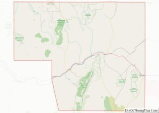
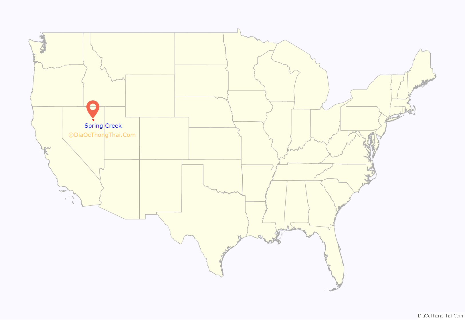
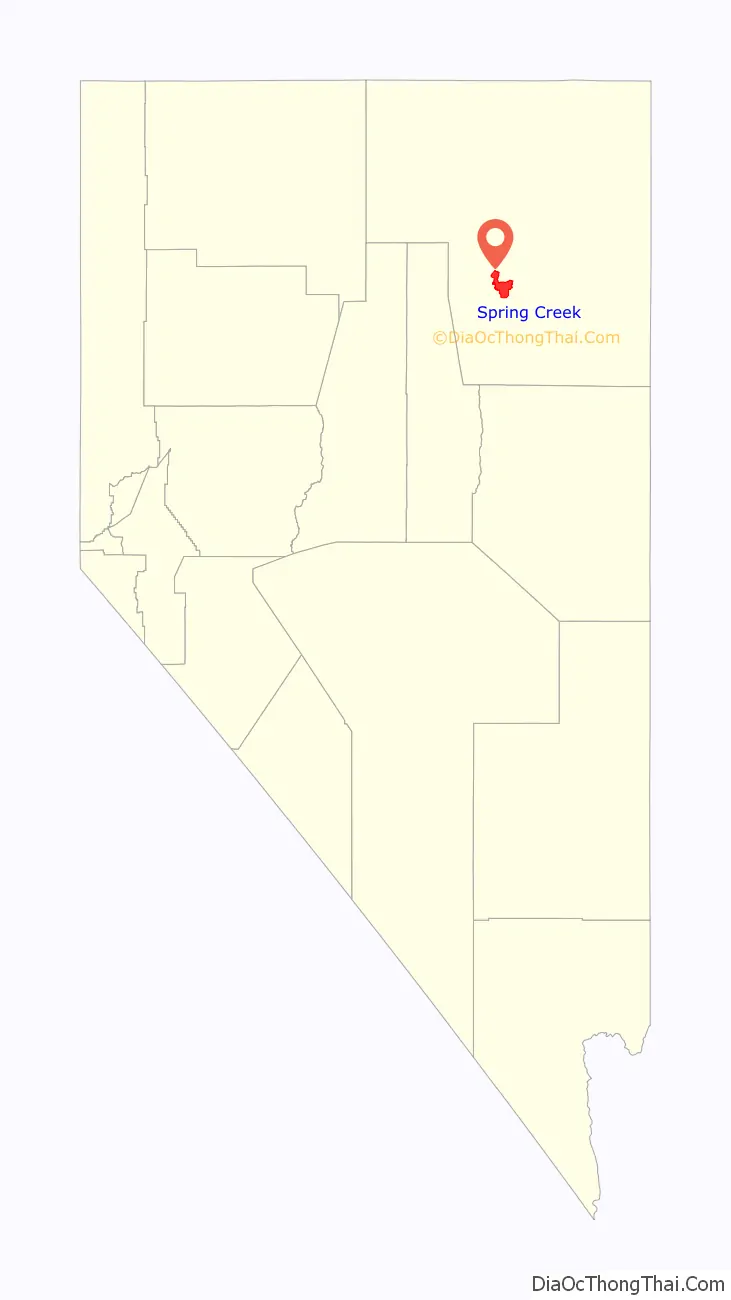
Spring Creek location map. Where is Spring Creek CDP?
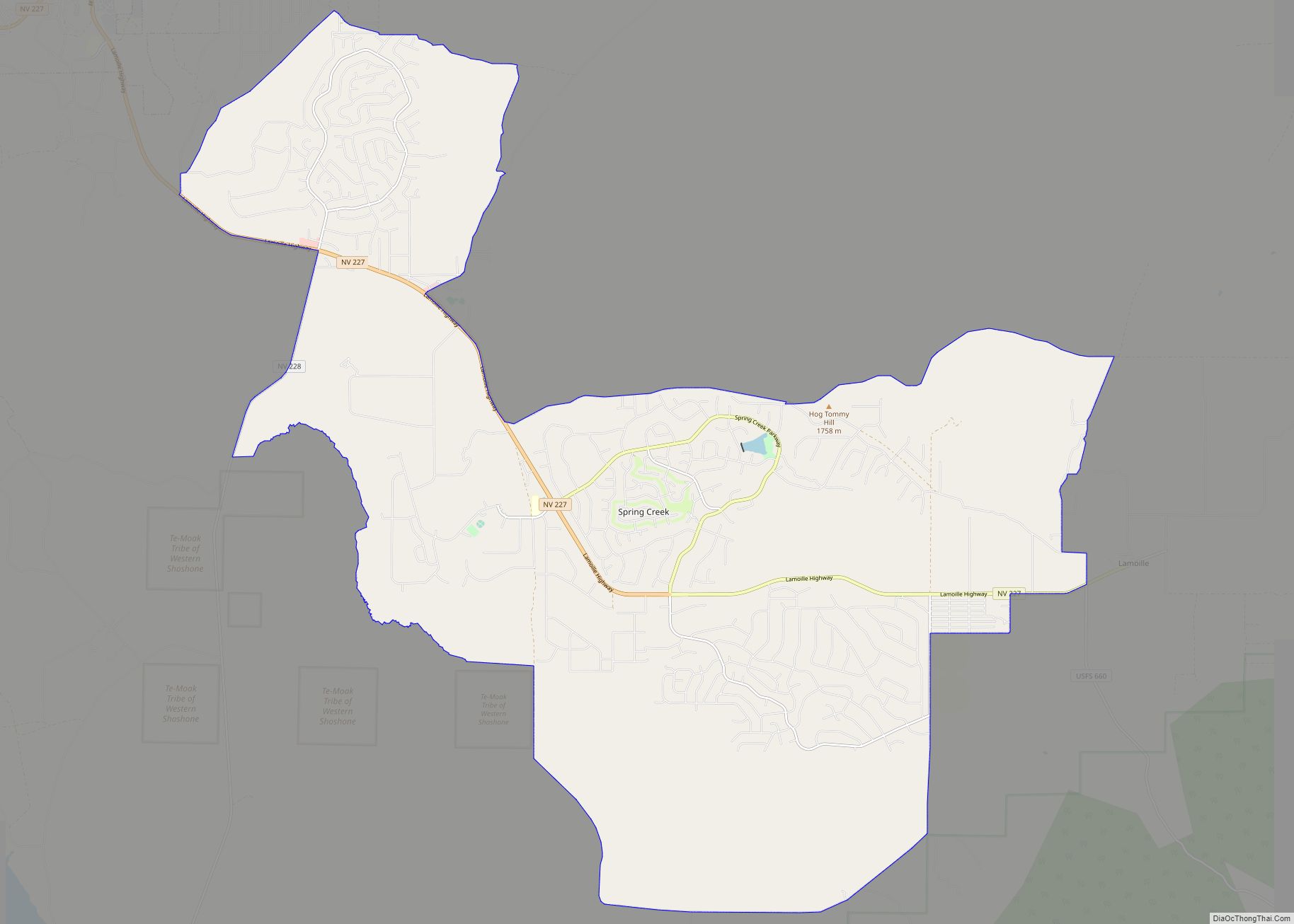
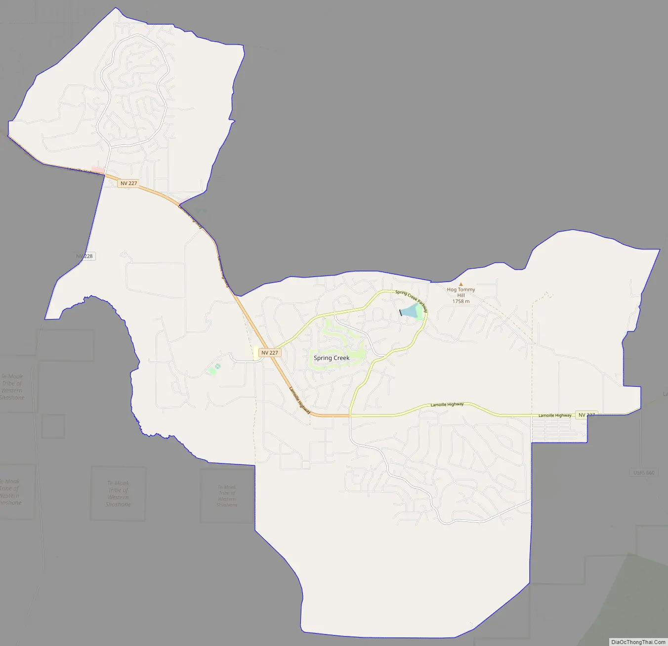
Spring Creek Road Map
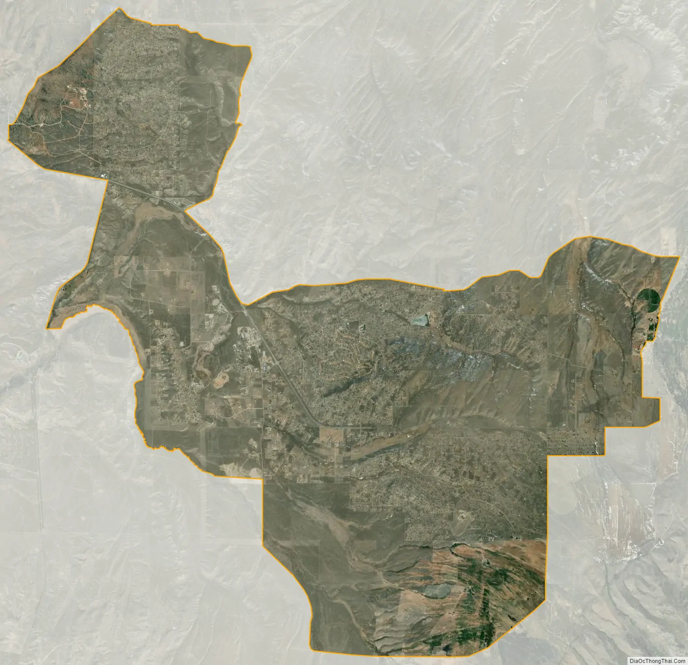
Spring Creek city Satellite Map
Geography
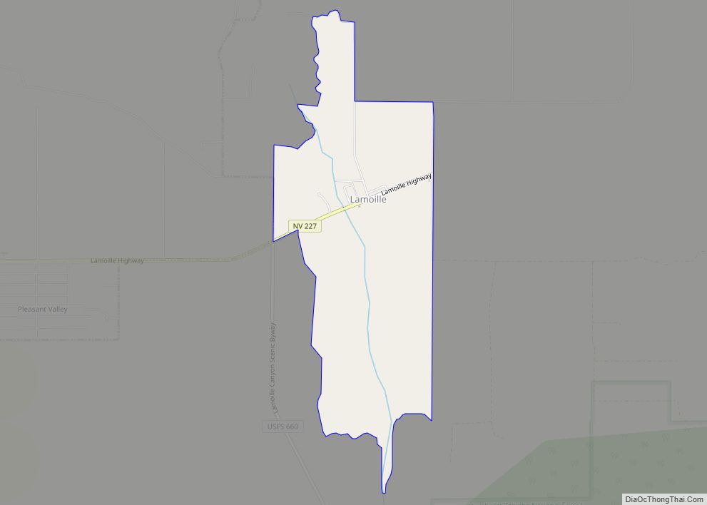
Spring Creek is located in a large valley between the Elko Hills to the northwest, and the Ruby Mountains to the southeast. To the southwest is Huntington Valley and the South Fork of the Humboldt River, while to the north is the main branch of the Humboldt. The city of Elko is approximately 6 miles (9.7 km) to the northwest, while Lamoille is just to the east. According to the United States Census Bureau, the CDP has a total area of 58.7 square miles (152 km).
The community was developed in the 1970s by C. V. Wood, president of McCulloch Oil, as three large housing sections. The western section, at the base of the Elko Hills, is located near the post office (zip 89815), a shopping center, and a supermarket. About 1 mile to the east is the main school campus for grades 1-12. The central section of the community, another mile to the east, includes a park and lake (“The Marina”), and an 18-hole golf course and clubhouse. Nearby are an outdoor sports complex and a second elementary school. The southern section of the community surrounds an indoor sports arena (“The Horse Palace”), and is adjacent to the Ruby Mountains and a community-owned campground.
See also
Map of Nevada State and its subdivision: Map of other states:- Alabama
- Alaska
- Arizona
- Arkansas
- California
- Colorado
- Connecticut
- Delaware
- District of Columbia
- Florida
- Georgia
- Hawaii
- Idaho
- Illinois
- Indiana
- Iowa
- Kansas
- Kentucky
- Louisiana
- Maine
- Maryland
- Massachusetts
- Michigan
- Minnesota
- Mississippi
- Missouri
- Montana
- Nebraska
- Nevada
- New Hampshire
- New Jersey
- New Mexico
- New York
- North Carolina
- North Dakota
- Ohio
- Oklahoma
- Oregon
- Pennsylvania
- Rhode Island
- South Carolina
- South Dakota
- Tennessee
- Texas
- Utah
- Vermont
- Virginia
- Washington
- West Virginia
- Wisconsin
- Wyoming