Dry Valley is a census-designated place in Lincoln County, Nevada, United States. As of the 2020 census it had a population of 49.
| Name: | Dry Valley CDP |
|---|---|
| LSAD Code: | 57 |
| LSAD Description: | CDP (suffix) |
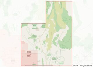
| State: | Nevada |
| County: | Lincoln County |
| Elevation: | 5,154 ft (1,571 m) |
| Total Area: | 3.79 sq mi (9.80 km²) |
| Land Area: | 3.79 sq mi (9.80 km²) |
| Water Area: | 0.00 sq mi (0.00 km²) |
| Total Population: | 49 |
| Population Density: | 12.95/sq mi (5.00/km²) |
| FIPS code: | 3219800 |
Online Interactive Map
Click on ![]() to view map in "full screen" mode.
to view map in "full screen" mode.
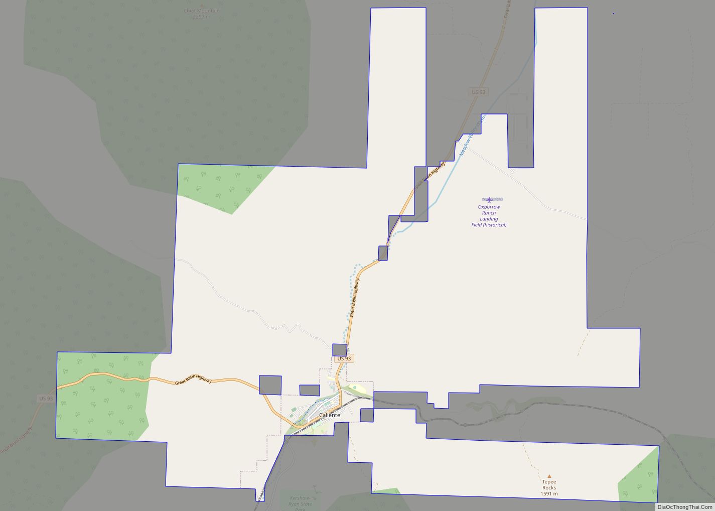
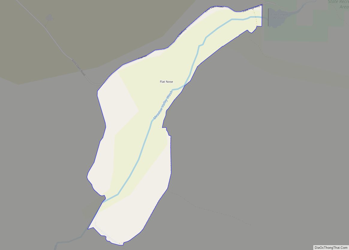
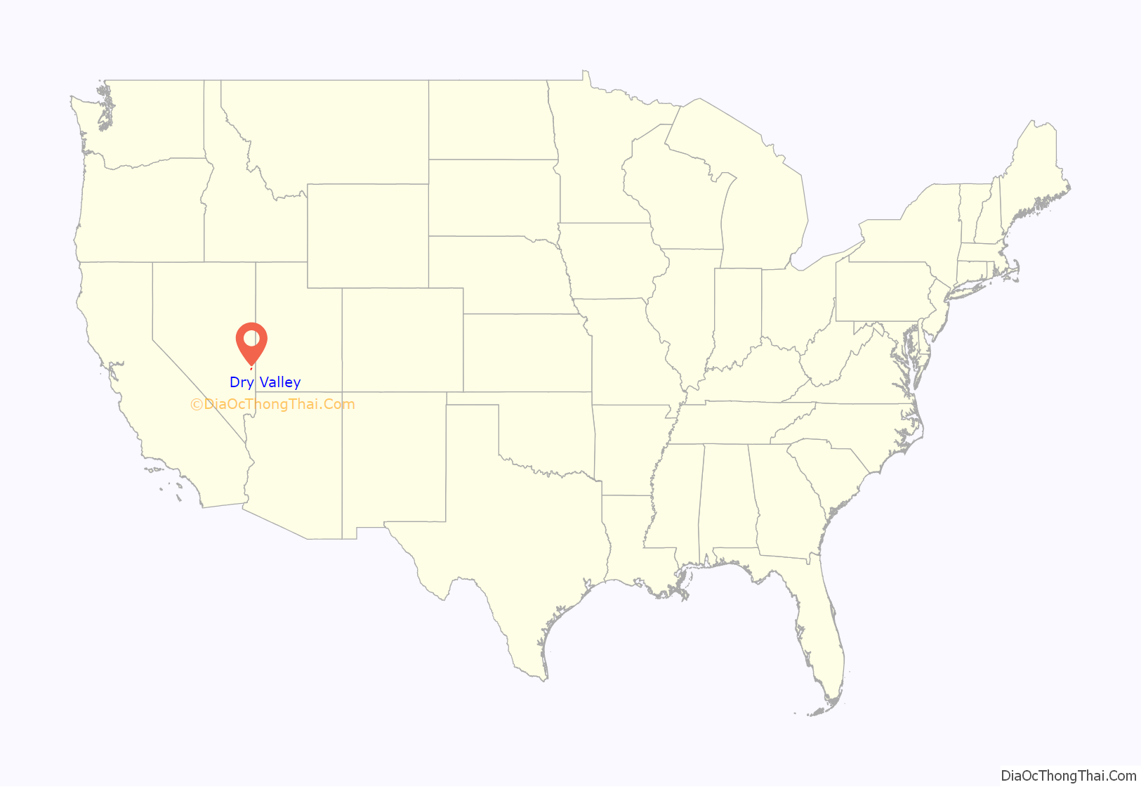
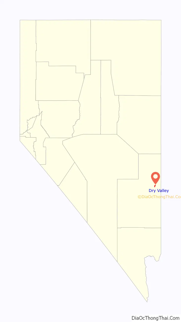
Dry Valley location map. Where is Dry Valley CDP?
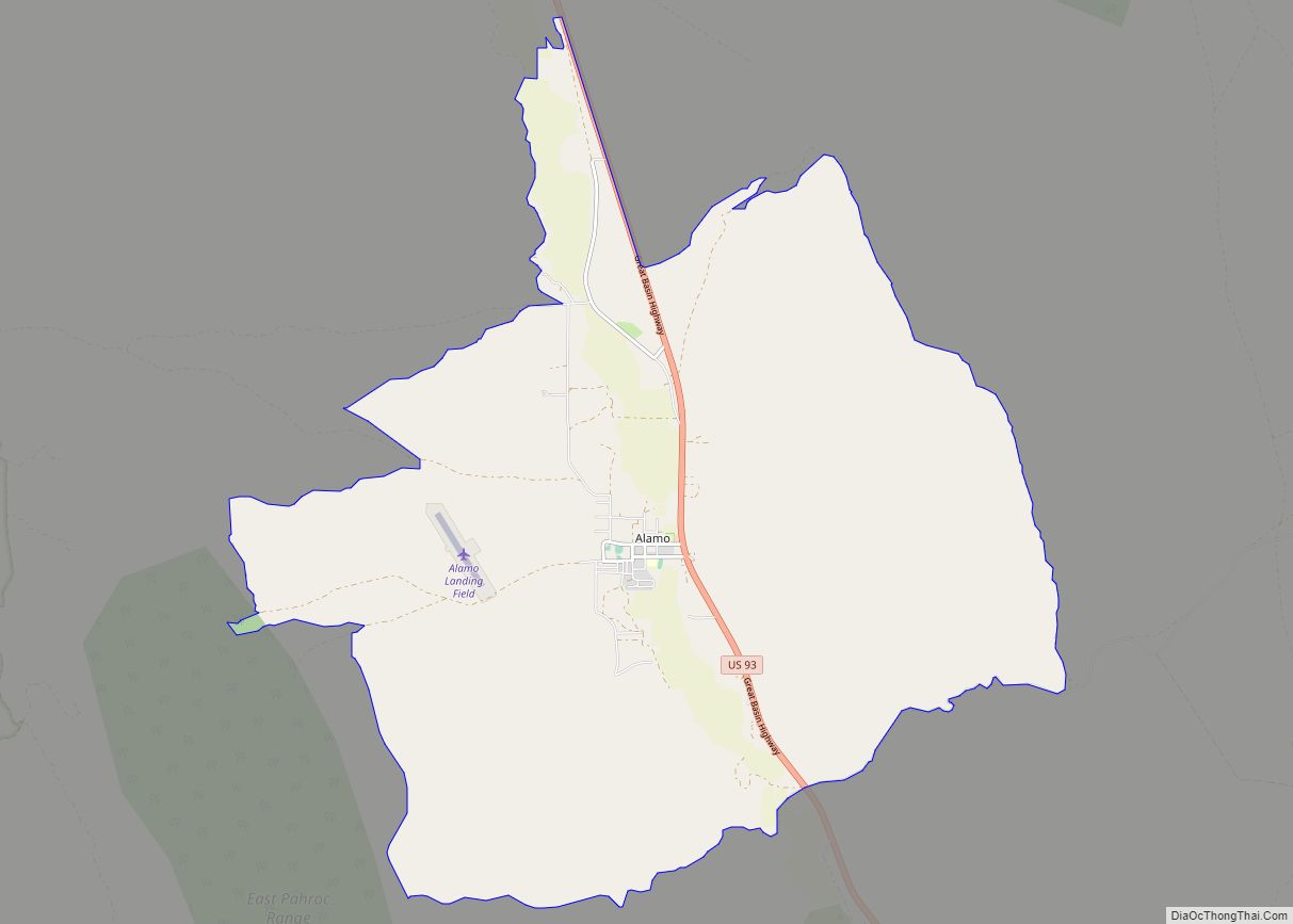
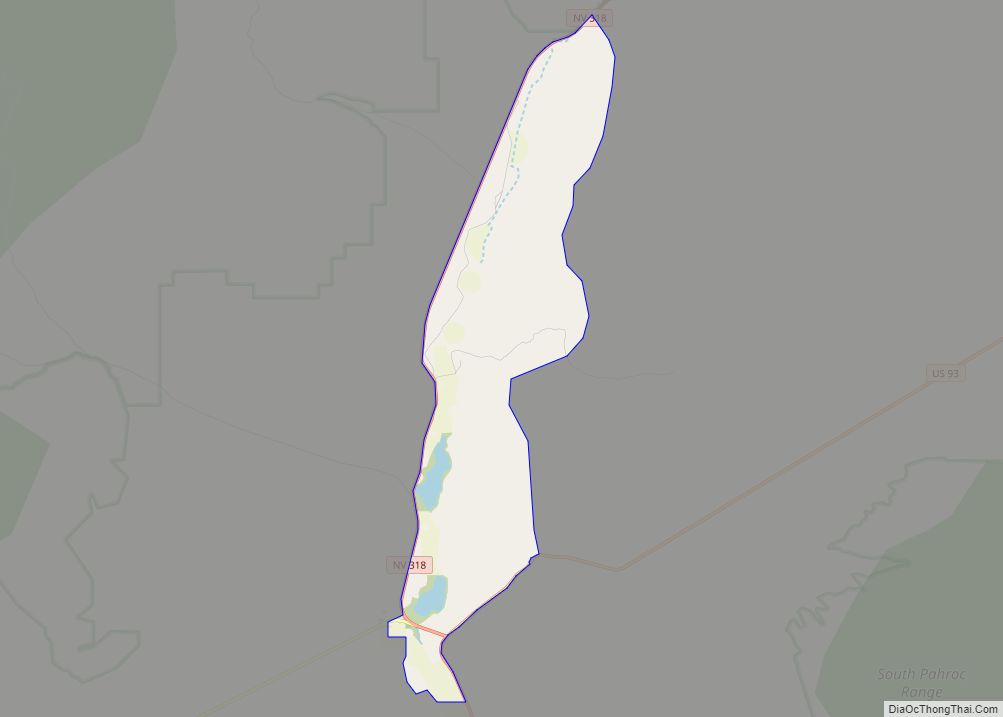
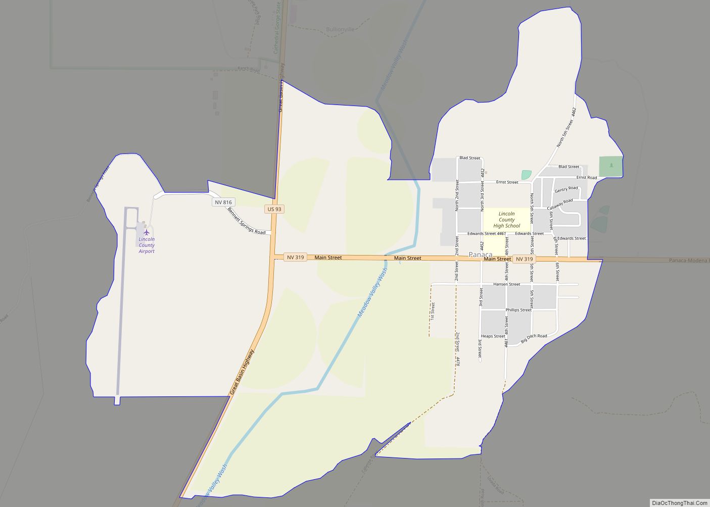
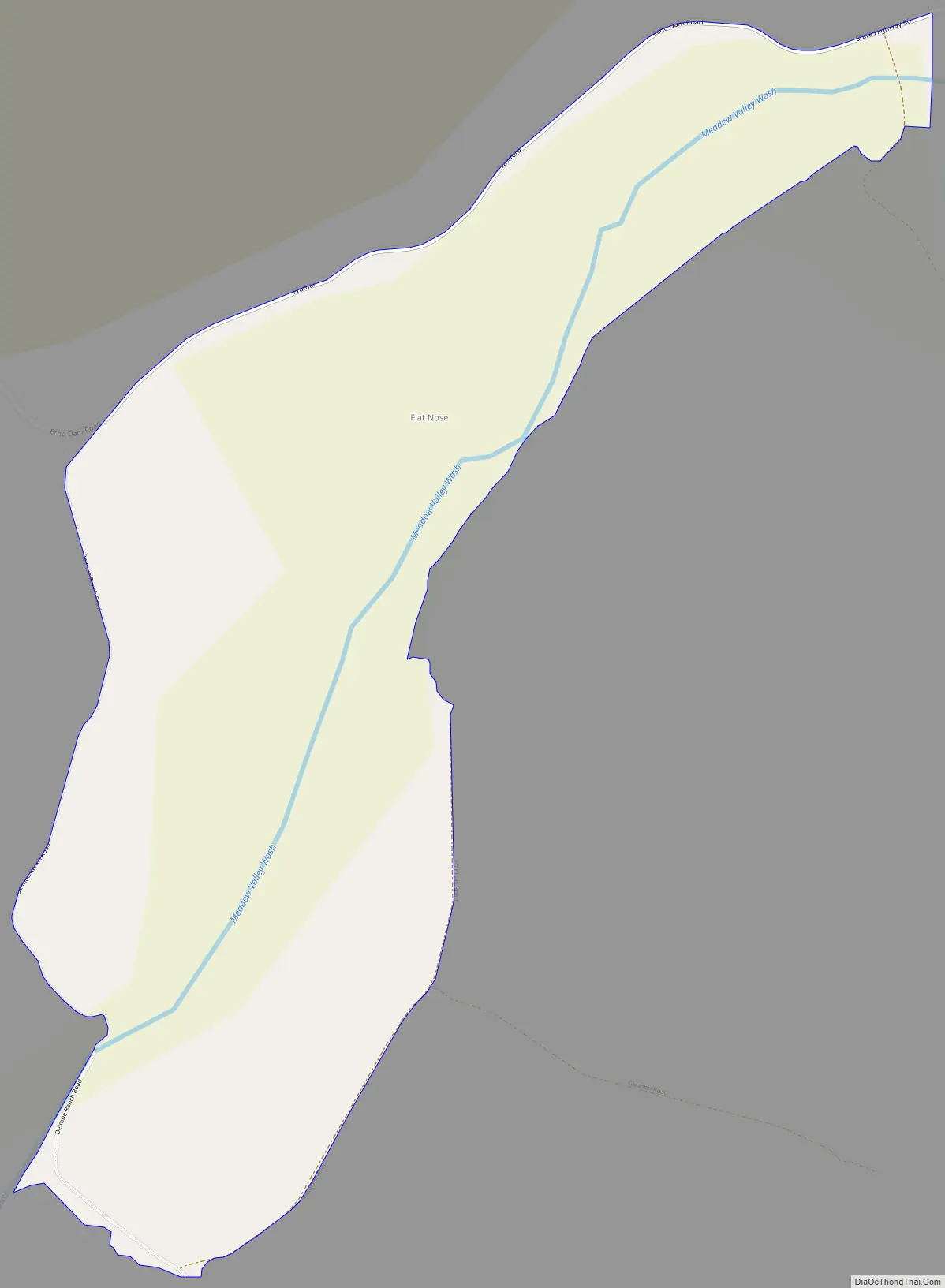
Dry Valley Road Map
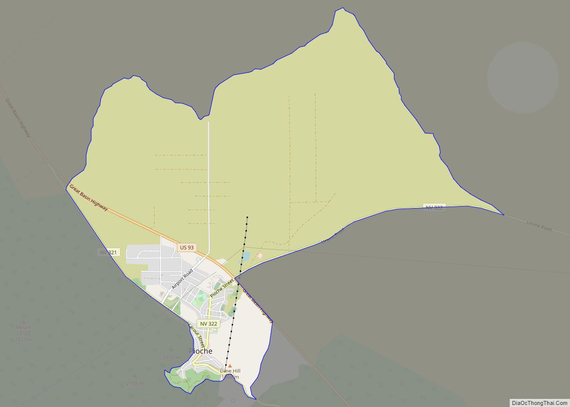
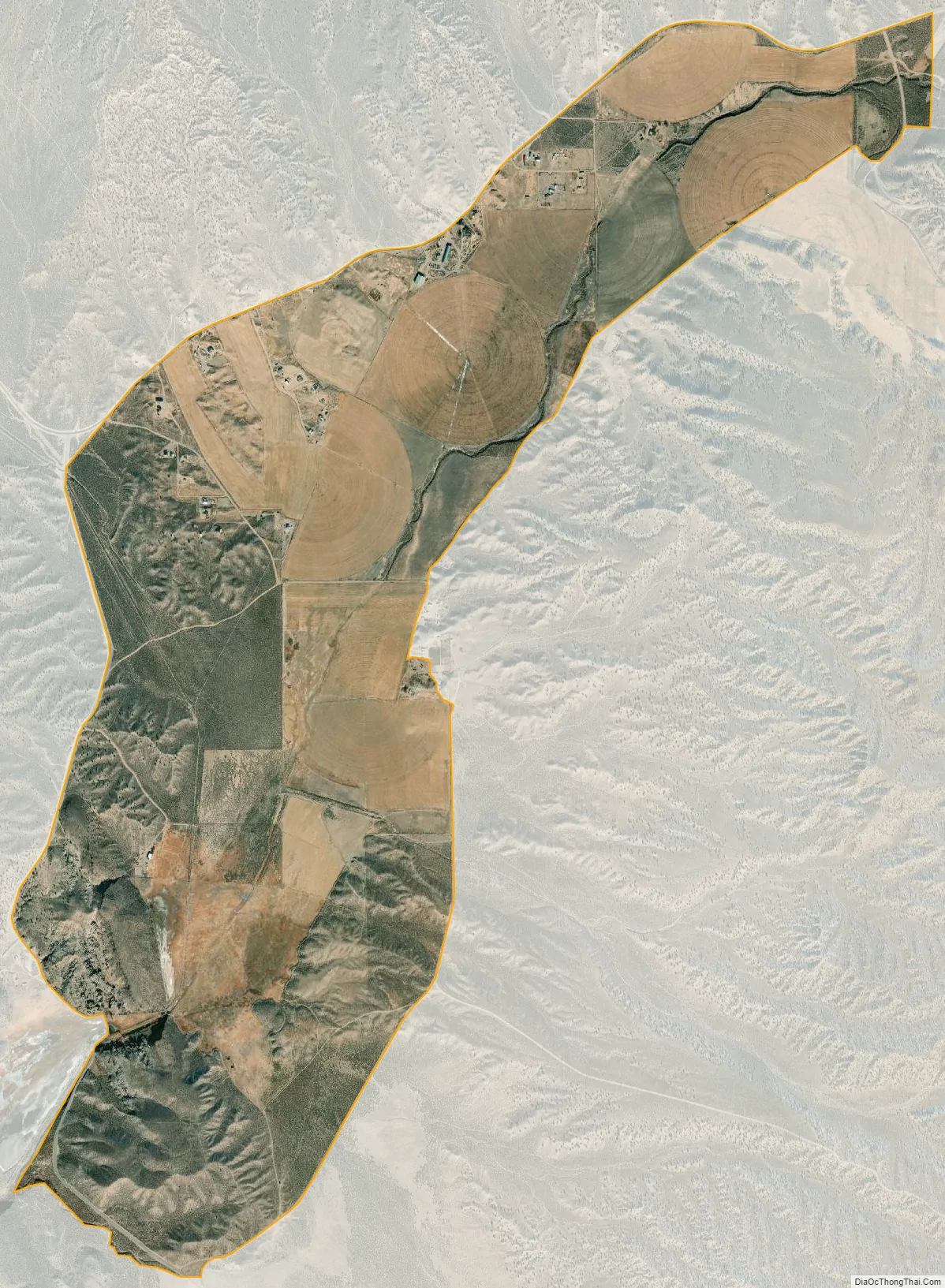
Dry Valley city Satellite Map
Geography
The CDP is located in Dry Valley, a flat basin through which Meadow Valley Wash flows before it exits to the southwest into Condor Canyon. The CDP is located 9 miles (14 km) east of Pioche and is reached by Echo Dam Road, which continues east another 3 miles (5 km) to Echo Canyon State Park.
According to the U.S. Census Bureau, the Dry Valley CDP has an area of 3.8 square miles (9.8 km), all of it land.
See also
Map of Nevada State and its subdivision: Map of other states:- Alabama
- Alaska
- Arizona
- Arkansas
- California
- Colorado
- Connecticut
- Delaware
- District of Columbia
- Florida
- Georgia
- Hawaii
- Idaho
- Illinois
- Indiana
- Iowa
- Kansas
- Kentucky
- Louisiana
- Maine
- Maryland
- Massachusetts
- Michigan
- Minnesota
- Mississippi
- Missouri
- Montana
- Nebraska
- Nevada
- New Hampshire
- New Jersey
- New Mexico
- New York
- North Carolina
- North Dakota
- Ohio
- Oklahoma
- Oregon
- Pennsylvania
- Rhode Island
- South Carolina
- South Dakota
- Tennessee
- Texas
- Utah
- Vermont
- Virginia
- Washington
- West Virginia
- Wisconsin
- Wyoming