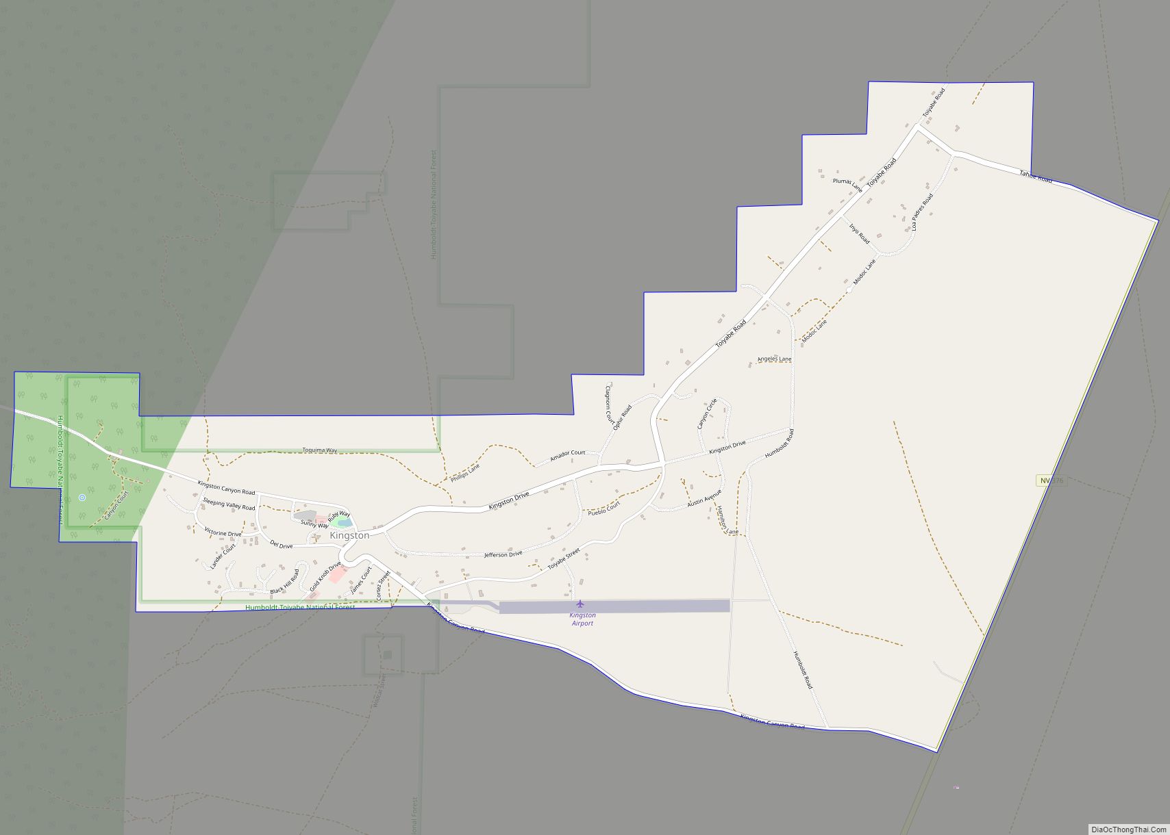
Kingston is an unincorporated town and census-designated place in Lander County, Nevada, United States. The population of the census-designated place of Kingston was 113 at the 2010 census.
| Name: | Kingston CDP |
|---|---|
| LSAD Code: | 57 |
| LSAD Description: | CDP (suffix) |
| State: | Nevada |
| County: | Lander County |
| Elevation: | 5,962 ft (1,817 m) |
| Total Area: | 4.07 sq mi (10.54 km²) |
| Land Area: | 4.07 sq mi (10.54 km²) |
| Water Area: | 0.00 sq mi (0.00 km²) |
| Total Population: | 194 |
| Population Density: | 47.69/sq mi (18.41/km²) |
| ZIP code: | 89310 |
| Area code: | 775 |
| FIPS code: | 3238100 |
| GNISfeature ID: | 0862179 |
Online Interactive Map
Click on ![]() to view map in "full screen" mode.
to view map in "full screen" mode.
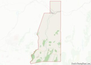
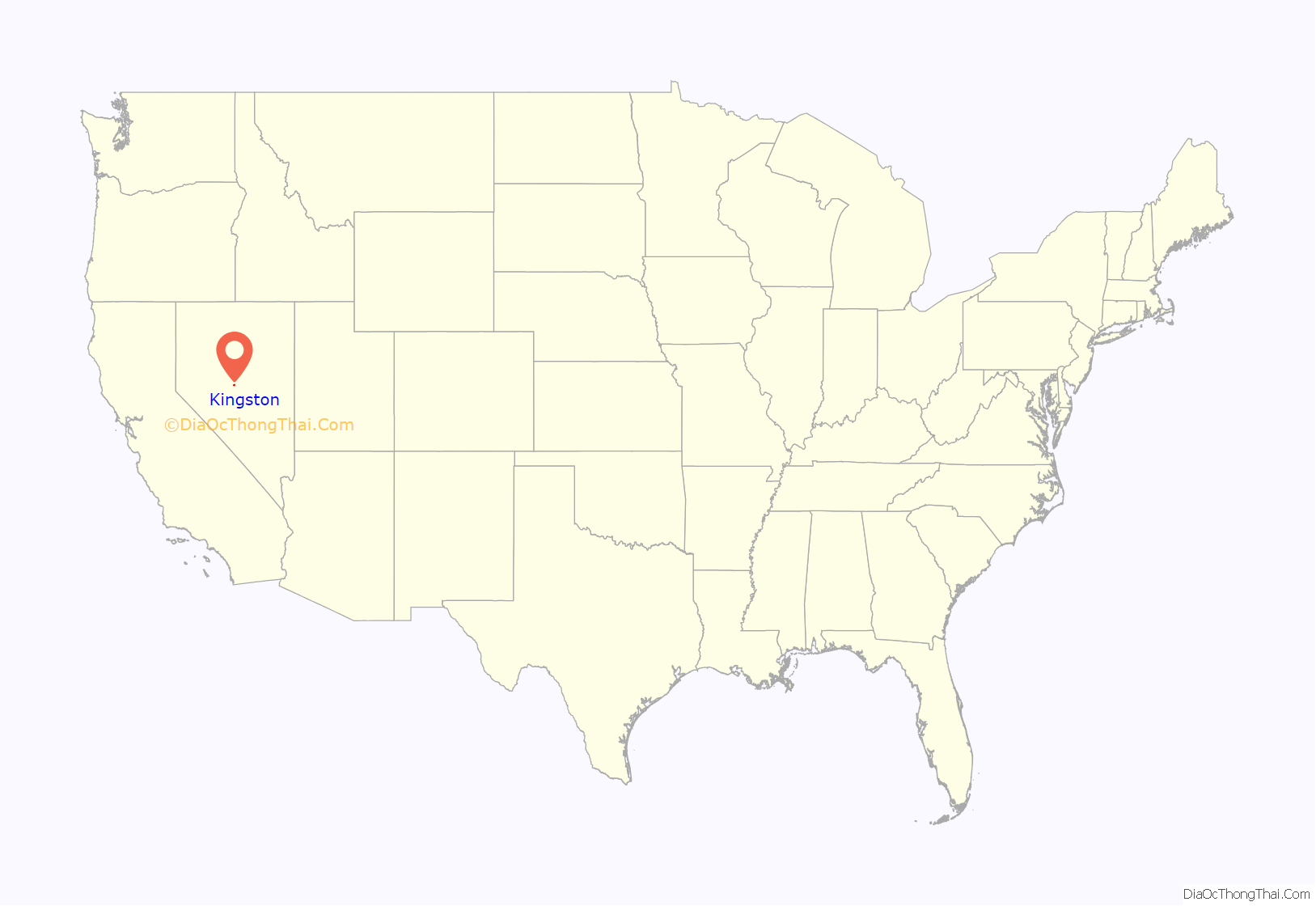
Kingston location map. Where is Kingston CDP?
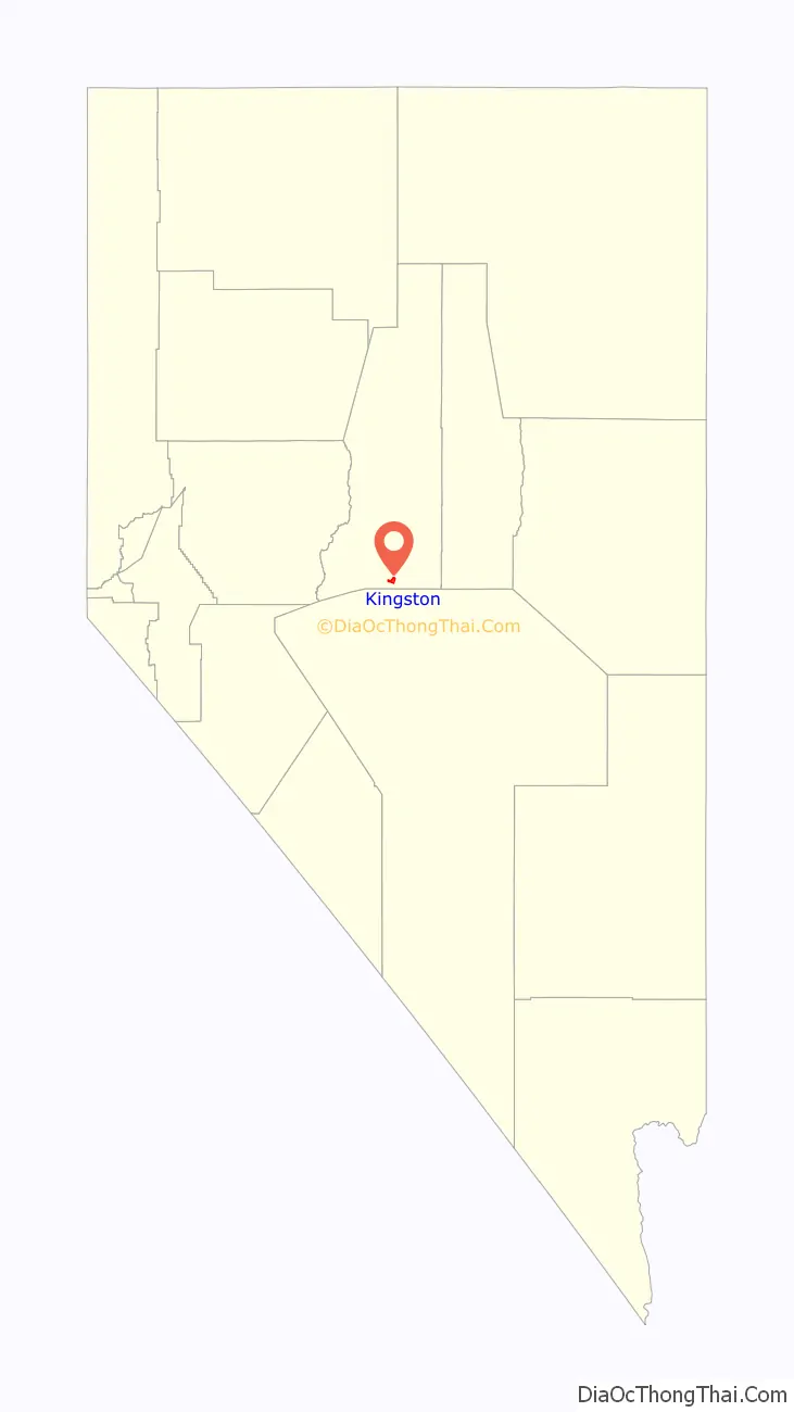
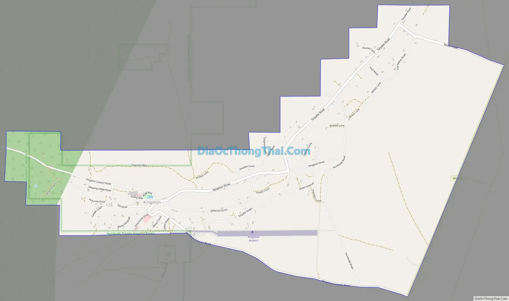
Kingston Road Map
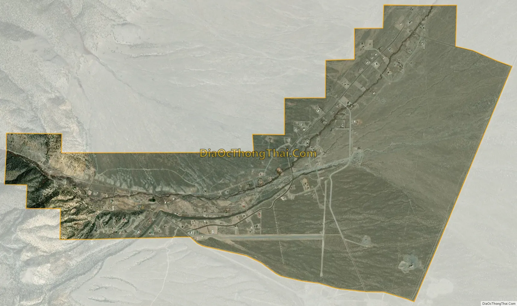
Kingston city Satellite Map
Geography
Kingston is located in southern Lander County on the northeast side of the Toiyabe Range. Bunker Hill, the highest peak in Lander County, is located just a few miles to the northwest. Nevada State Route 376 runs past the community, leading north towards Austin, 20 miles (32 km) away, and south 90 miles (140 km) to Tonopah.
According to the U.S. Census Bureau, the Kingston CDP has an area of 4.1 square miles (10.5 km), all land.
See also
Map of Nevada State and its subdivision: Map of other states:- Alabama
- Alaska
- Arizona
- Arkansas
- California
- Colorado
- Connecticut
- Delaware
- District of Columbia
- Florida
- Georgia
- Hawaii
- Idaho
- Illinois
- Indiana
- Iowa
- Kansas
- Kentucky
- Louisiana
- Maine
- Maryland
- Massachusetts
- Michigan
- Minnesota
- Mississippi
- Missouri
- Montana
- Nebraska
- Nevada
- New Hampshire
- New Jersey
- New Mexico
- New York
- North Carolina
- North Dakota
- Ohio
- Oklahoma
- Oregon
- Pennsylvania
- Rhode Island
- South Carolina
- South Dakota
- Tennessee
- Texas
- Utah
- Vermont
- Virginia
- Washington
- West Virginia
- Wisconsin
- Wyoming