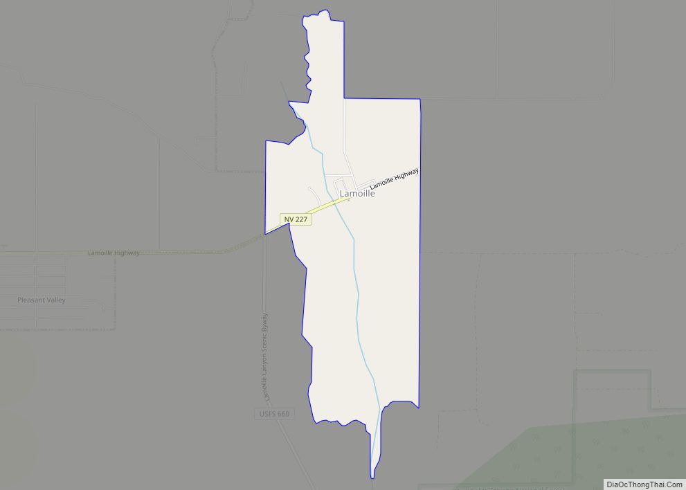
Lamoille (Shoshone: Banadia) is a rural census-designated place in Elko County in the northeastern section of the state of Nevada in the western United States. As of the 2020 census it had a population of 276. It is located 19 miles (31 km) southeast of Elko at the base of the Ruby Mountains at an elevation of 5,889 feet (1,795 m) and is part of the Elko Micropolitan Statistical Area.
| Name: | Lamoille CDP |
|---|---|
| LSAD Code: | 57 |
| LSAD Description: | CDP (suffix) |
| State: | Nevada |
| County: | Elko County |
| Elevation: | 5,889 ft (1,795 m) |
| Total Area: | 1.84 sq mi (4.78 km²) |
| Land Area: | 1.84 sq mi (4.78 km²) |
| Water Area: | 0.00 sq mi (0.00 km²) |
| Total Population: | 130 |
| Population Density: | 70.50/sq mi (27.22/km²) |
| ZIP code: | 89828 |
| FIPS code: | 3239300 |
| GNISfeature ID: | 860296 |
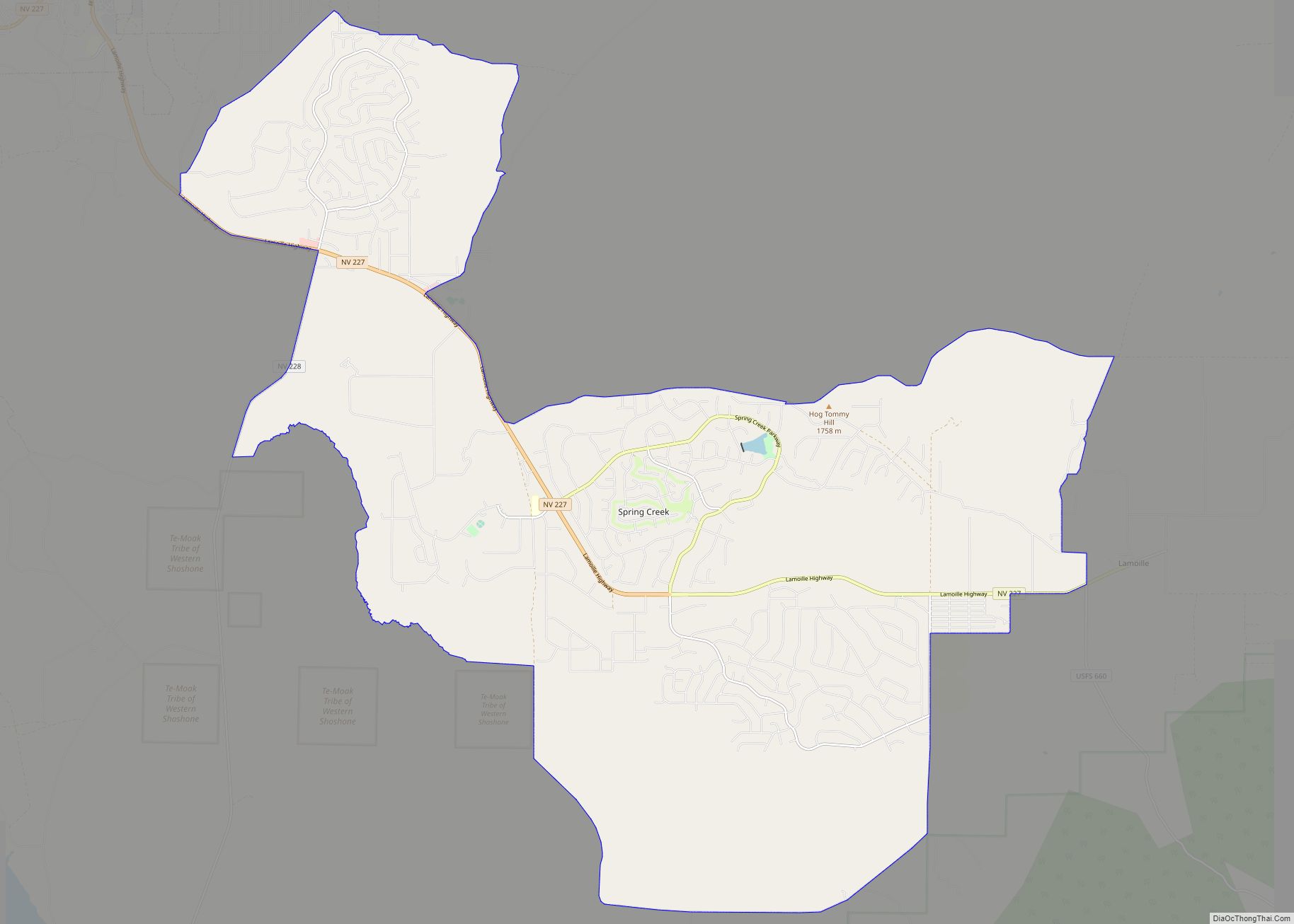
Online Interactive Map
Click on ![]() to view map in "full screen" mode.
to view map in "full screen" mode.
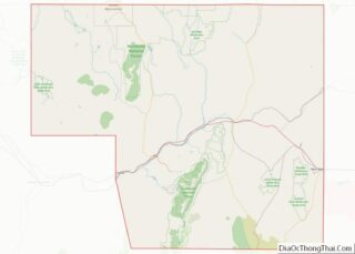
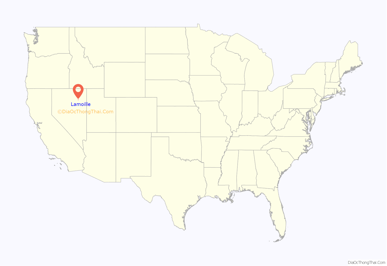
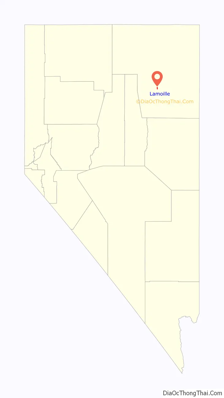
Lamoille location map. Where is Lamoille CDP?
History
The early history of the community and surrounding area is summarized in a nearby highway marker:
Lamoille is nestled off the western flanks of the Ruby Mountains at the end of Nevada State Route 227, and is the principal gateway to this range via the National Forest Scenic Byway up Lamoille Canyon. In 1907 a small church was constructed on the east side of the community, and is still in use today.
Former Disney president and good friend of Clint Eastwood, Frank Wells, died in a helicopter crash here in the Nevada Ruby Mountains.
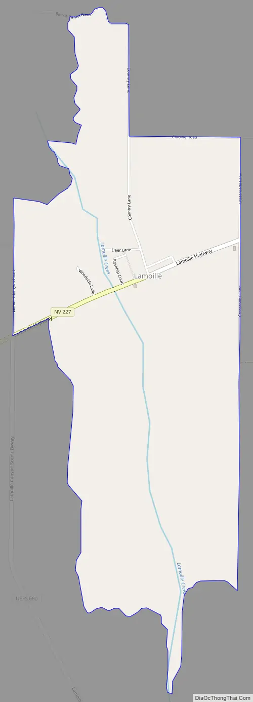
Lamoille Road Map
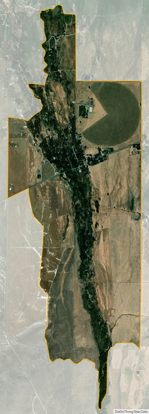
Lamoille city Satellite Map
See also
Map of Nevada State and its subdivision: Map of other states:- Alabama
- Alaska
- Arizona
- Arkansas
- California
- Colorado
- Connecticut
- Delaware
- District of Columbia
- Florida
- Georgia
- Hawaii
- Idaho
- Illinois
- Indiana
- Iowa
- Kansas
- Kentucky
- Louisiana
- Maine
- Maryland
- Massachusetts
- Michigan
- Minnesota
- Mississippi
- Missouri
- Montana
- Nebraska
- Nevada
- New Hampshire
- New Jersey
- New Mexico
- New York
- North Carolina
- North Dakota
- Ohio
- Oklahoma
- Oregon
- Pennsylvania
- Rhode Island
- South Carolina
- South Dakota
- Tennessee
- Texas
- Utah
- Vermont
- Virginia
- Washington
- West Virginia
- Wisconsin
- Wyoming