Logan Creek is a census-designated place (CDP) on the east shore of Lake Tahoe in Douglas County, Nevada, United States. The population was 26 at the 2010 census.
| Name: | Logan Creek CDP |
|---|---|
| LSAD Code: | 57 |
| LSAD Description: | CDP (suffix) |
| State: | Nevada |
| County: | Douglas County |
| Elevation: | 7,097 ft (2,163 m) |
| Total Area: | 1.81 sq mi (4.68 km²) |
| Land Area: | 1.75 sq mi (4.54 km²) |
| Water Area: | 0.06 sq mi (0.14 km²) |
| Total Population: | 40 |
| Population Density: | 22.83/sq mi (8.81/km²) |
| Area code: | 775 |
| FIPS code: | 3242350 |
| GNISfeature ID: | 2583939 |
Online Interactive Map
Click on ![]() to view map in "full screen" mode.
to view map in "full screen" mode.
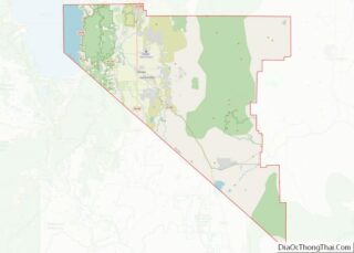
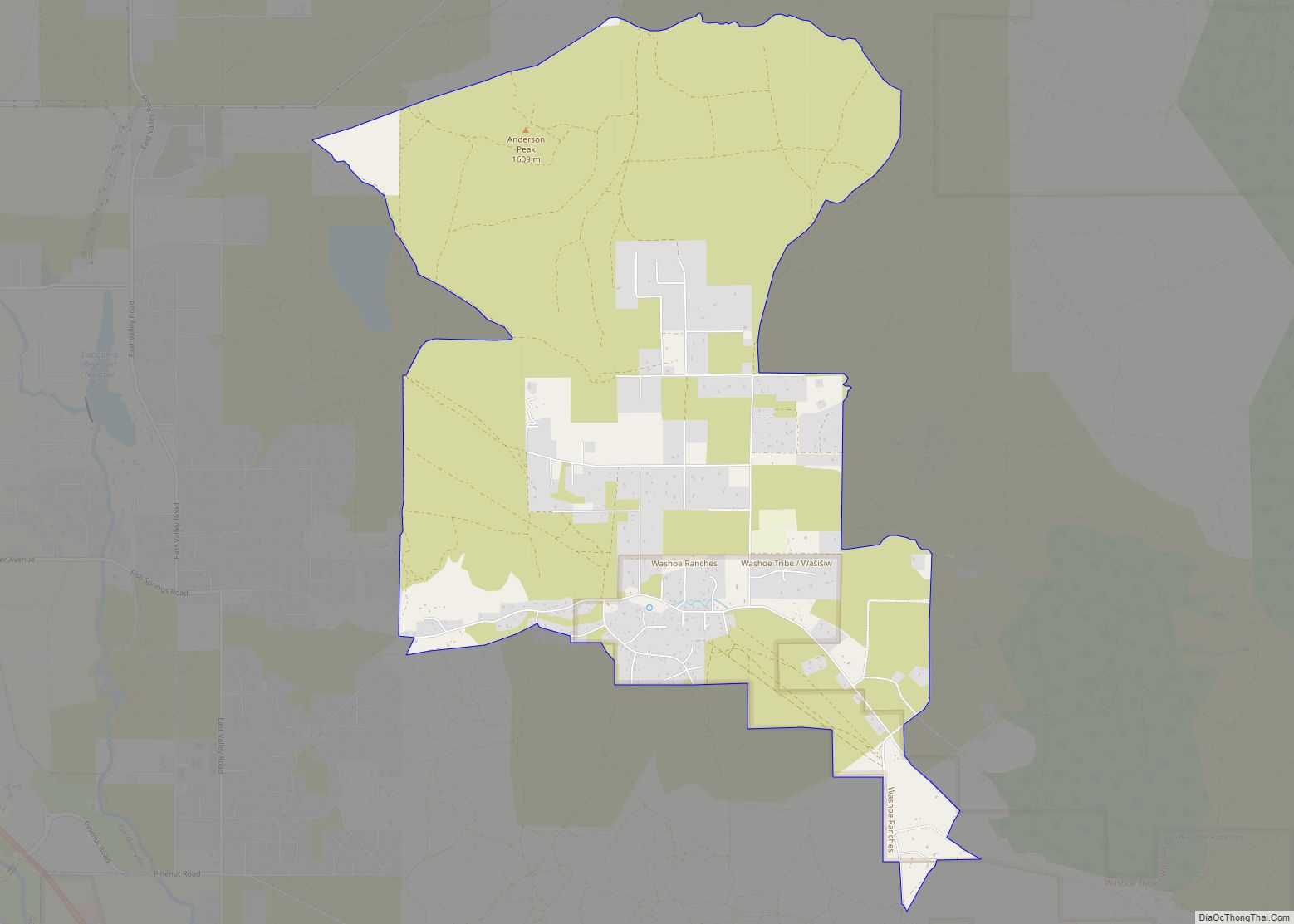
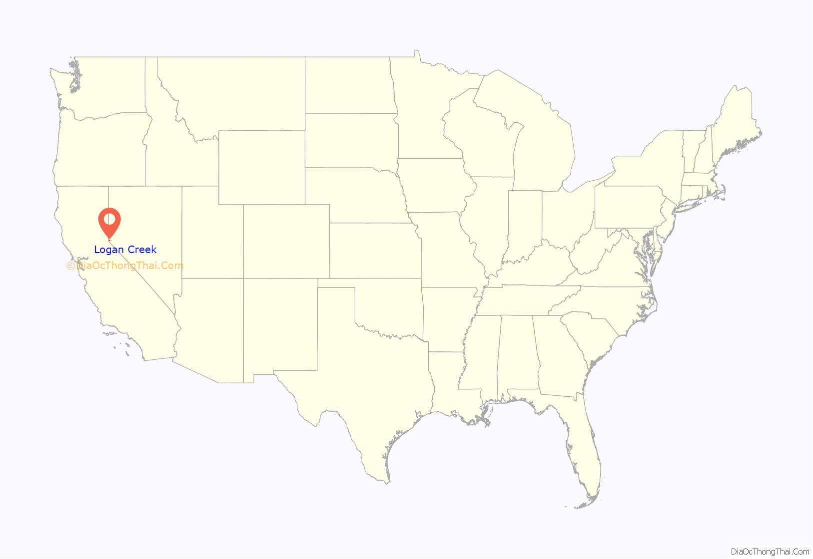
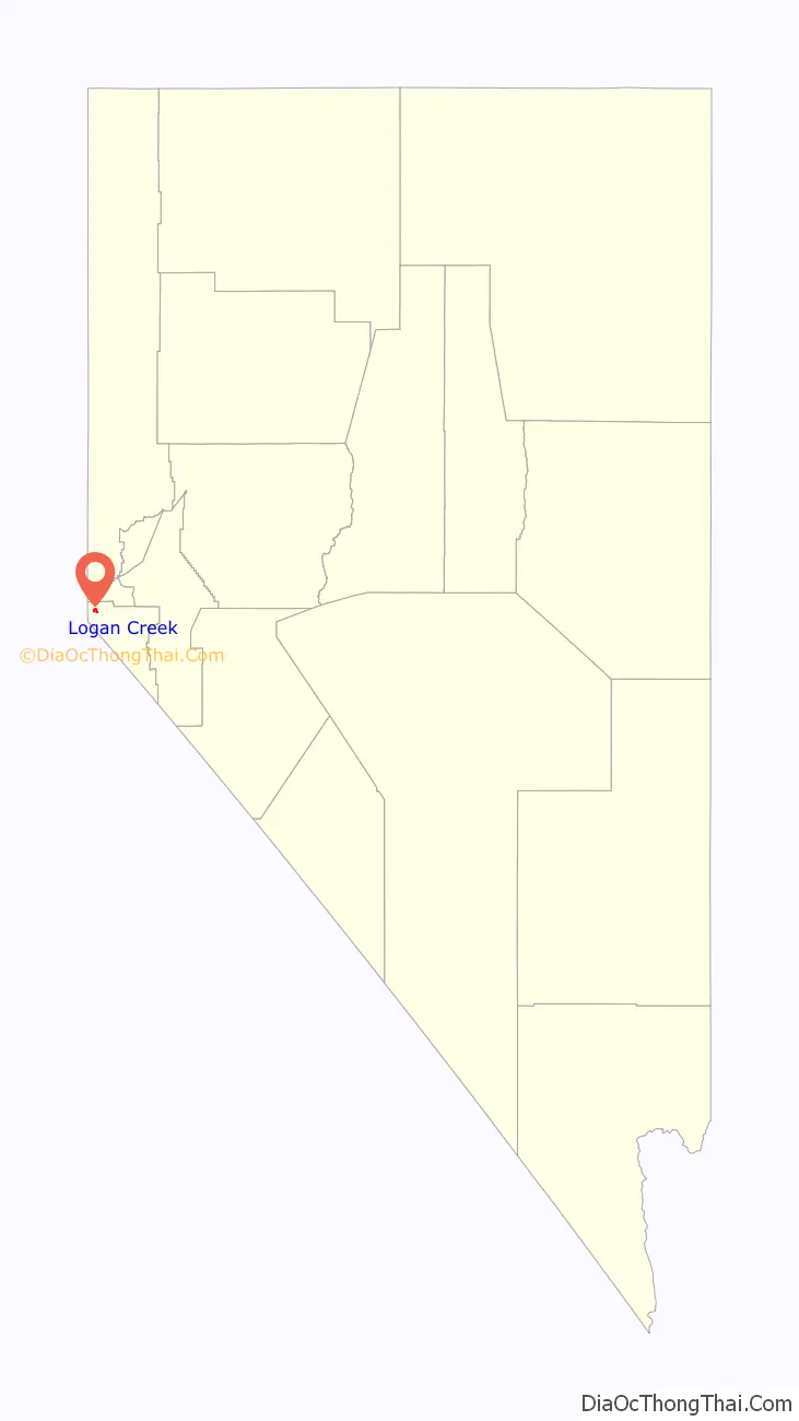
Logan Creek location map. Where is Logan Creek CDP?
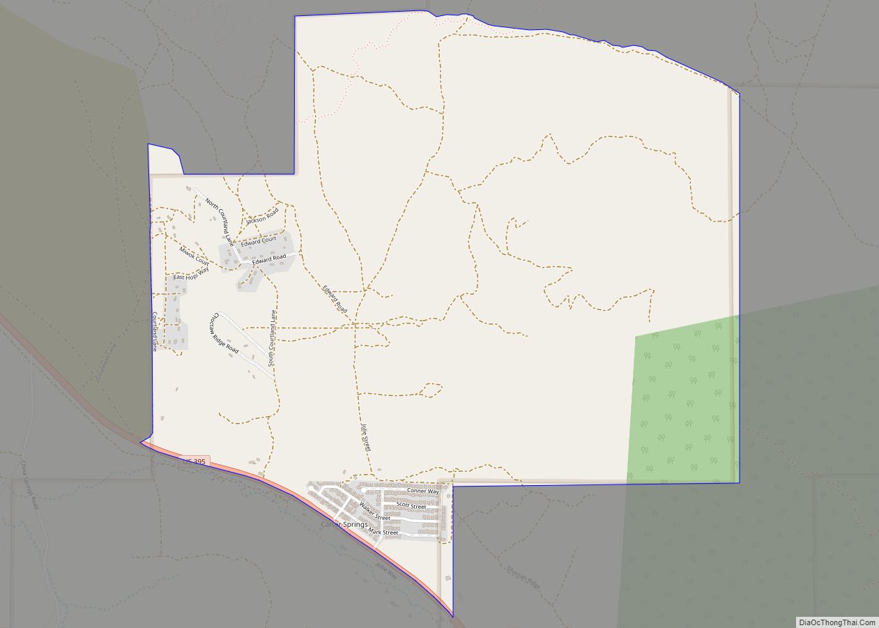
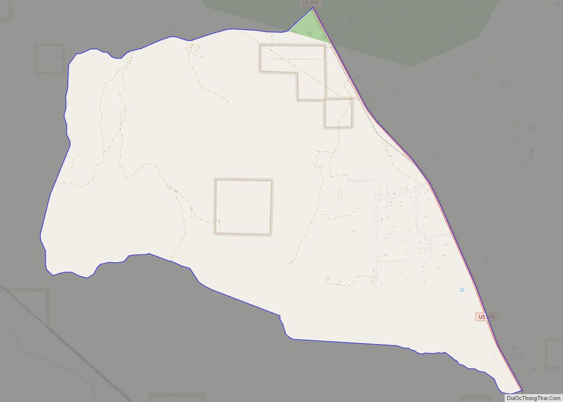
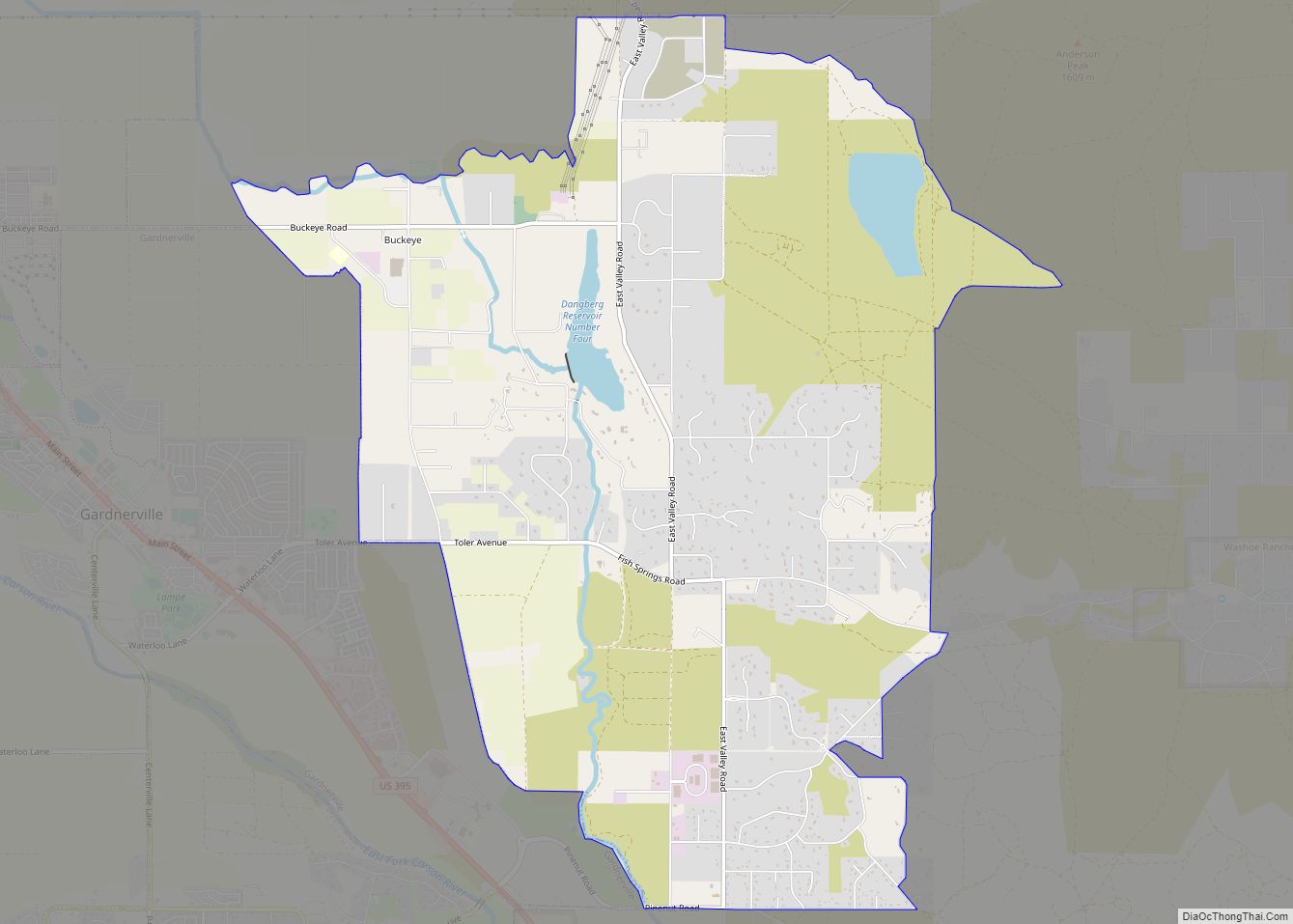
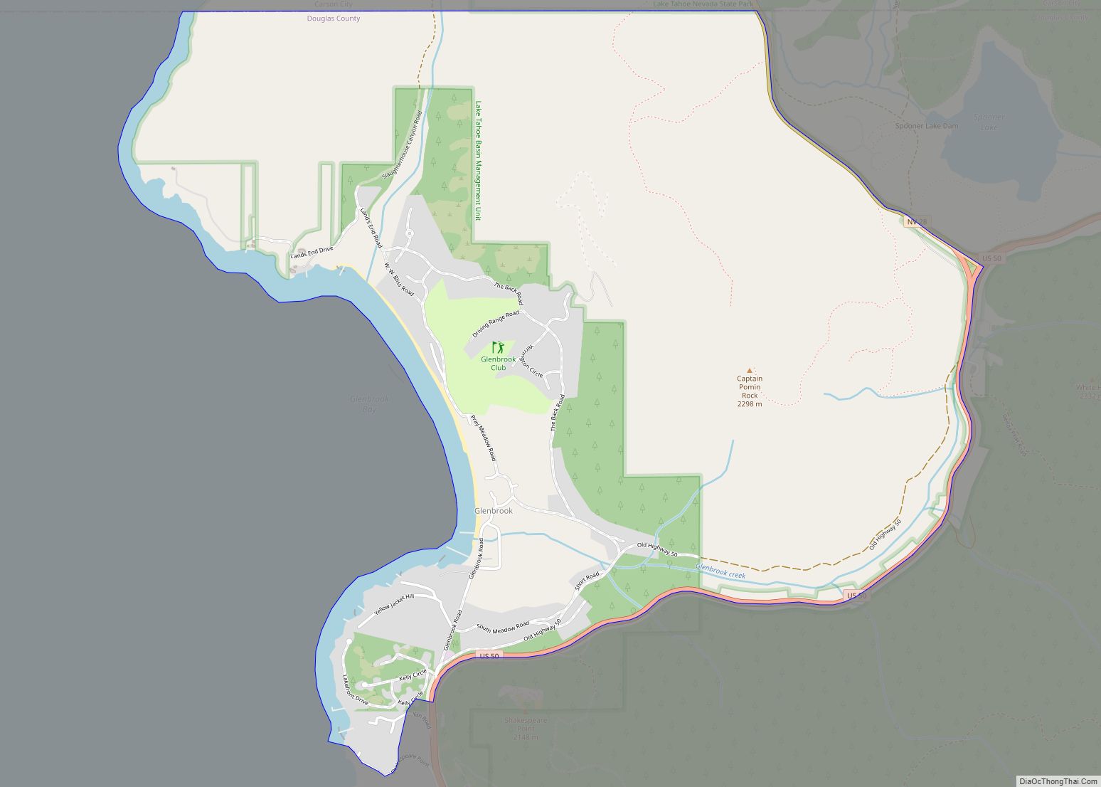
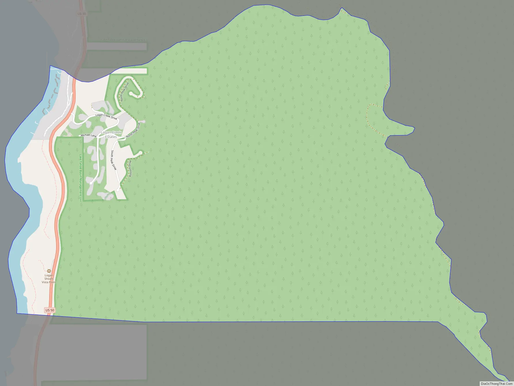
Logan Creek Road Map
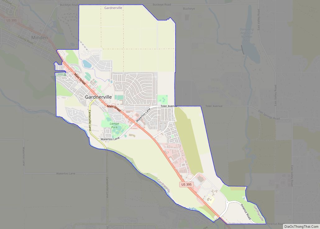
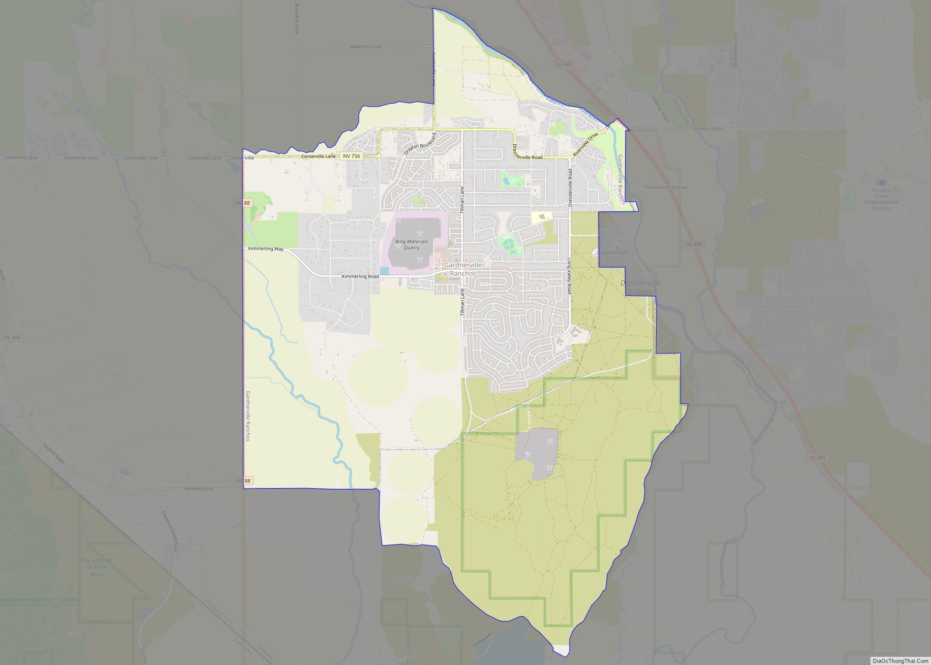
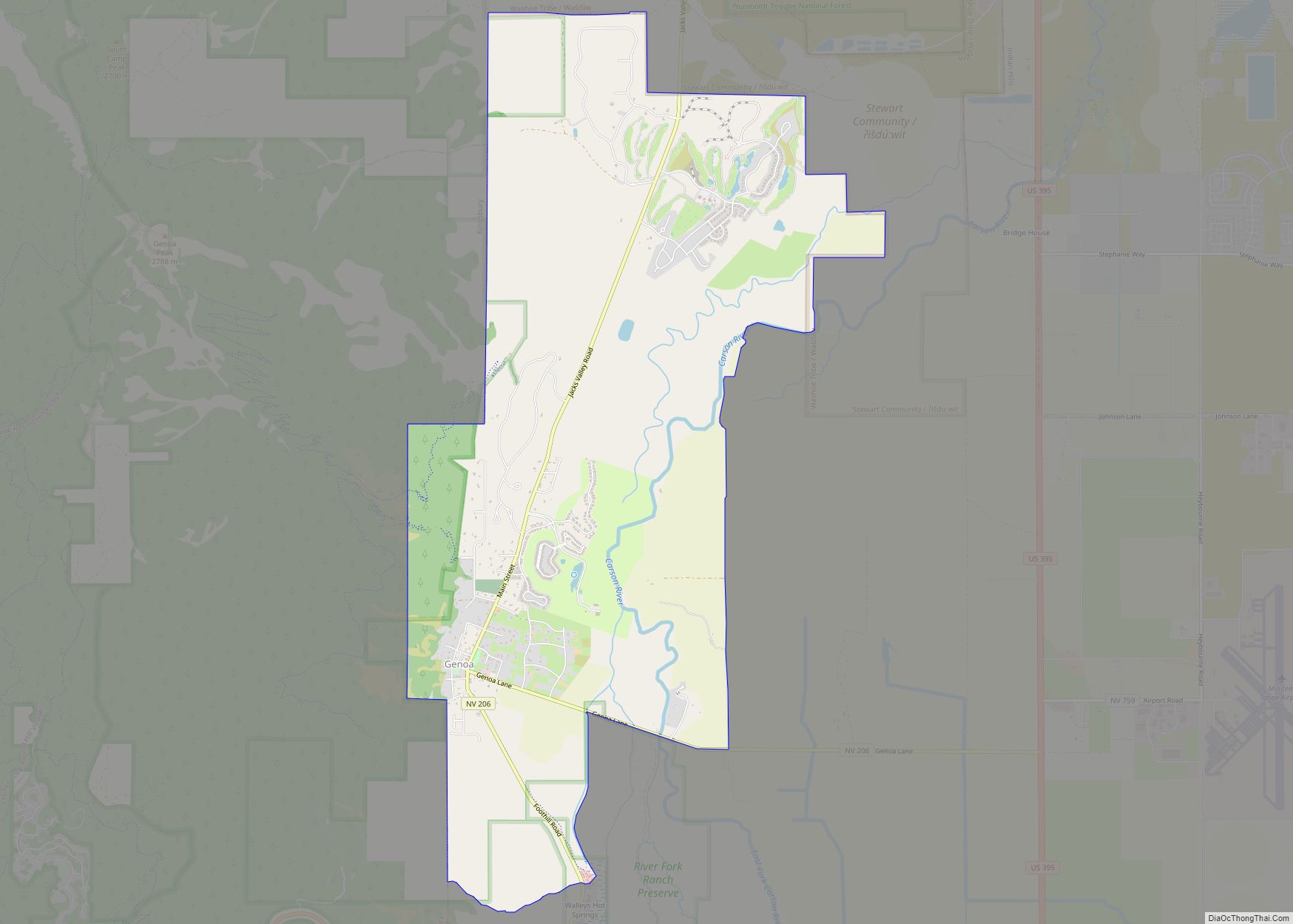
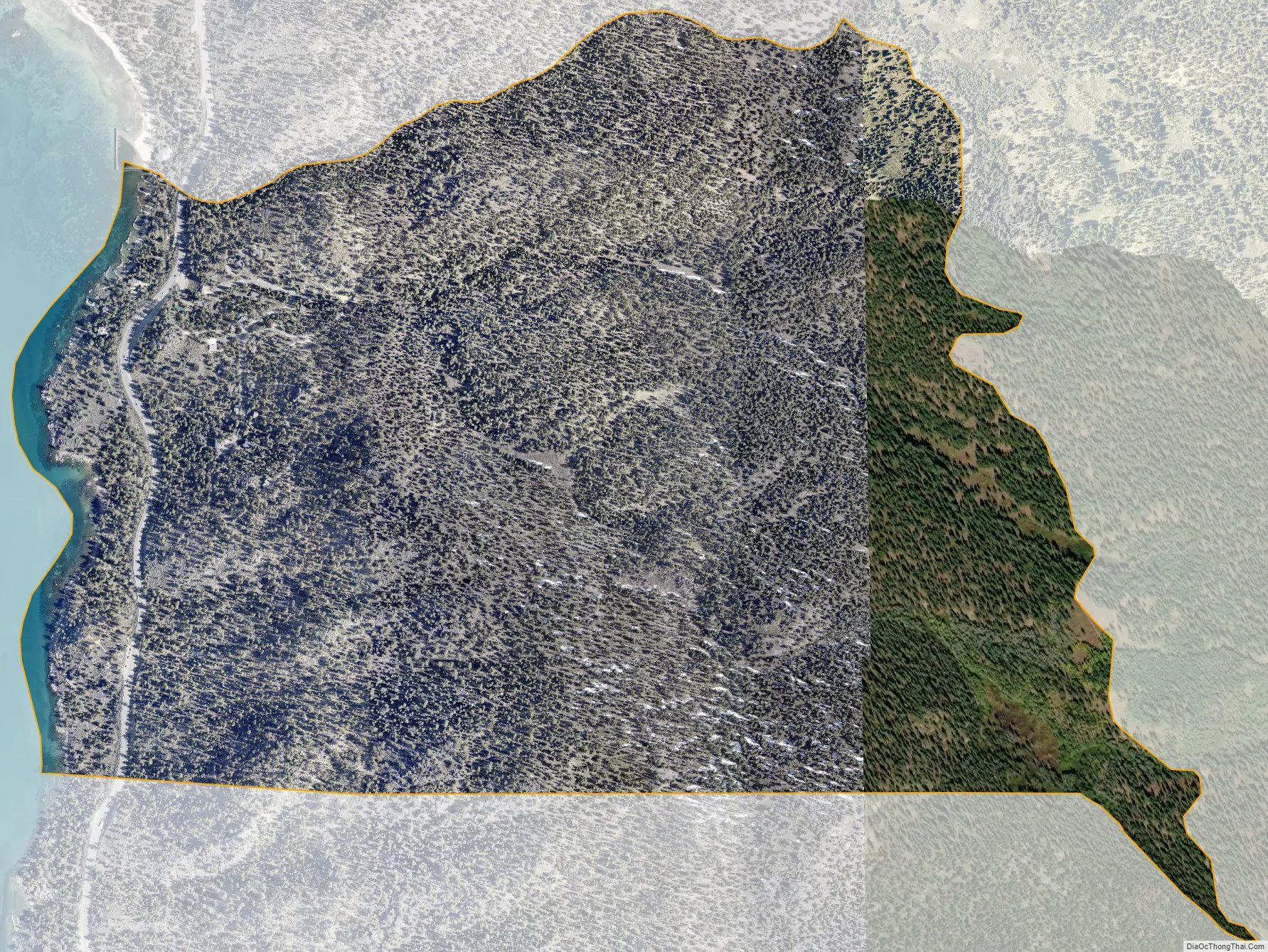
Logan Creek city Satellite Map
Geography
Logan Creek is located along U.S. Route 50, north of Lakeridge and south of Glenbrook. It is 16 miles (26 km) east along US-50 to Carson City. According to the United States Census Bureau, the CDP has a total area of 1.8 square miles (4.7 km), of which 1.7 square miles (4.5 km) is land and 0.039 square miles (0.1 km), or 3.06%, is water.
See also
Map of Nevada State and its subdivision: Map of other states:- Alabama
- Alaska
- Arizona
- Arkansas
- California
- Colorado
- Connecticut
- Delaware
- District of Columbia
- Florida
- Georgia
- Hawaii
- Idaho
- Illinois
- Indiana
- Iowa
- Kansas
- Kentucky
- Louisiana
- Maine
- Maryland
- Massachusetts
- Michigan
- Minnesota
- Mississippi
- Missouri
- Montana
- Nebraska
- Nevada
- New Hampshire
- New Jersey
- New Mexico
- New York
- North Carolina
- North Dakota
- Ohio
- Oklahoma
- Oregon
- Pennsylvania
- Rhode Island
- South Carolina
- South Dakota
- Tennessee
- Texas
- Utah
- Vermont
- Virginia
- Washington
- West Virginia
- Wisconsin
- Wyoming