Minden is a census-designated place (CDP) in Douglas County, Nevada, United States. The population was 3,001 at the 2010 census. It is the county seat of Douglas County and is adjacent to the town of Gardnerville. The Douglas campus of the Western Nevada College is located in Minden.
| Name: | Minden CDP |
|---|---|
| LSAD Code: | 57 |
| LSAD Description: | CDP (suffix) |
| State: | Nevada |
| County: | Douglas County |
| Founded: | 1906 |
| Elevation: | 4,725 ft (1,440 m) |
| Total Area: | 3.72 sq mi (9.64 km²) |
| Land Area: | 3.70 sq mi (9.59 km²) |
| Water Area: | 0.02 sq mi (0.05 km²) |
| Total Population: | 3,442 |
| Population Density: | 930.02/sq mi (359.04/km²) |
| ZIP code: | 89423 |
| Area code: | 775 |
| FIPS code: | 3247000 |
| Website: | townofminden.com |
Online Interactive Map
Click on ![]() to view map in "full screen" mode.
to view map in "full screen" mode.
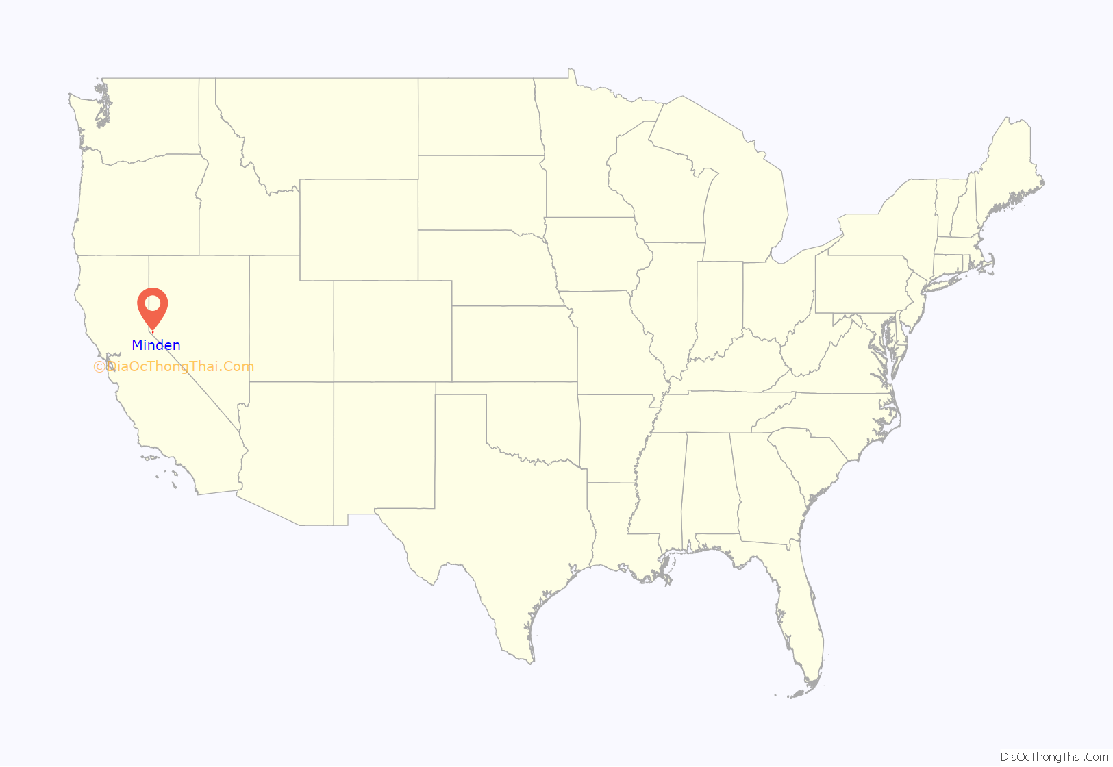
Minden location map. Where is Minden CDP?
History
It was founded in 1906 by Heinrich Friedrich Dangberg Jr., who named it after the town of Minden, in the German state of North Rhine-Westphalia, which was near his father’s birthplace. A large share of the first settlers were Germans. Minden was founded on company land of the Dangberg Home Ranch and Dangberg commissioned most of the town’s early buildings. Minden has had a post office since 1906.
Use of sundown siren and sundown town status
Minden sounds a “sundown siren” at 6pm almost every evening since 1917, originally signifying that members of the Washoe Indian tribe were required to leave town by 6:30pm or face jail or fine. Douglas County fully repealed its sundown ordinance in the mid-1970s. A Minden ordinance meant to clarify the siren’s intent went on the books in 2007, but Minden continues to sound a siren every evening.
In June 2021, the State of Nevada passed a law that prohibits communities from sounding signals associated with a past law “which required persons of a particular race, ethnicity, ancestry, national origin or color to leave the town by a certain time.” Minden Town Manager J. D. Frisbee claimed the law doesn’t apply to them stating, “There’s a (Minden) ordinance in place right now that says that the siren sounds every day in commemoration of our first responders. … It never went off at 6:30, when the county had an ordinance to get Native Americans out of town.”
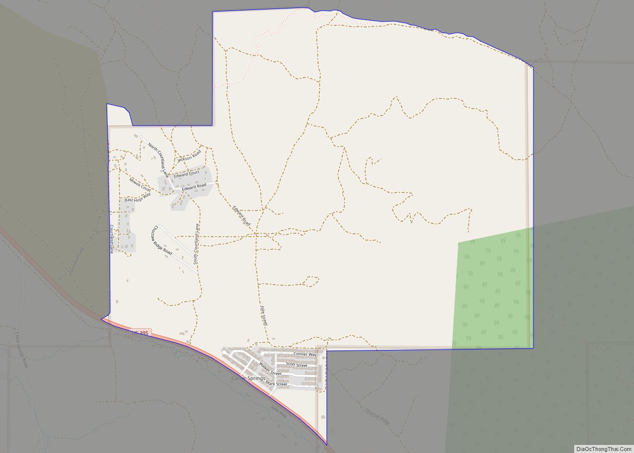
Minden Road Map
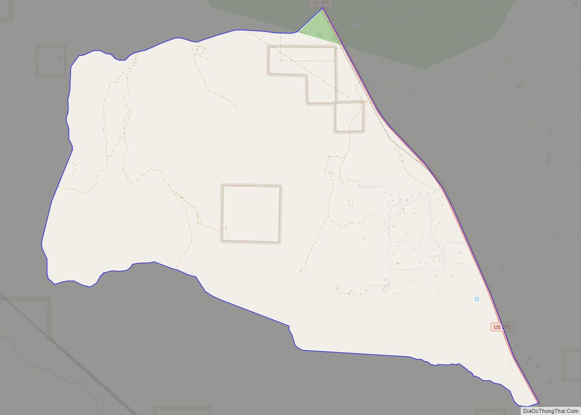
Minden city Satellite Map
Geography
According to the United States Census Bureau, the census-designated place (CDP) of Minden has a total area of 4.3 square miles (11 km), of which 4.3 square miles (11 km) is land and 0.04 square miles (0.10 km) (0.5%) is water.
The Carson Valley and Minden are considered one of the top gliding spots in the world. Flights of over 990 miles (1,600 km) have been made on sailplanes from this location. Its location, east of the Sierra Nevada range, favors lee wave formation. East of the Pine Nuts mountains is the Nevada desert, one of the best thermal generators in the world.
U.S. Highway 395 runs through Minden. It is also the terminus of State Route 88, which becomes California State Route 88 on the west side of the state line.
Climate
Minden has a cool semi-arid climate (Köppen BSk) with huge diurnal temperature variations during all seasons. Summers are hot to very hot during the day, with 68.5 afternoons topping 90 °F (32.2 °C) and 5.7 afternoons getting over 100 °F (37.8 °C); however, mornings even in summer are very cool to cold and between June and August 1.2 mornings will fall on average to under freezing. Rainfall is very rare during the summer as the monsoon practically never reaches this far north: in July more than four years in ten record no measurable precipitation and only one in twenty expects 1 inch or 25.4 millimetres. Winter afternoons are cool and frequently sunny, but mornings are freezing to frigid. Temperatures of 0 °F (−17.8 °C) or below can be expected on two mornings each winter, although all but 4.7 afternoons each year can be expected to top freezing, whilst during the three winter months 45.9 afternoons will typically top 50 °F (10.0 °C). The hottest temperature on record is 109 °F (42.8 °C) on July 6, 2007 and the coldest is −24 °F (−31.1 °C), which occurred on January 21, 1916, January 26, 1949 and February 7, 1989. The coldest afternoon was on January 9, 1937 when the temperature did not top 4 °F (−15.6 °C) and the hottest minimum 67 °F (19.4 °C) on August 28 and 29, 1906, June 25, 1927 and August 20, 1931.
The majority of precipitation occurs from winter Pacific storm systems, although the Sierra Nevada rain shadow limits the precipitation they produce in Nevada. The wettest “rain year” has been from July 1937 to June 1938 with 17.18 inches (436.4 mm) and the driest from July 1959 to June 1960 with 3.31 inches (84.1 mm). The wettest day on record has been December 30, 2002 with 3.90 inches or 99.1 millimetres. With at least 7.90 inches or 200.7 millimetres, January 1909 was the wettest single month on record. Winter afternoons are warm enough in Minden that most precipitation occurs as rain, although the mean snowfall is 21.8 inches or 0.55 metres. The cold, wet month of January 1916, however, saw as much as 52.0 inches (1.32 m) of snow and the season from July 1908 to June 1909, 70 inches (1.78 m); however, no measurable snow fell between July 1962 and June 1963.
See also
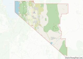
Map of Nevada State and its subdivision: Map of other states:- Alabama
- Alaska
- Arizona
- Arkansas
- California
- Colorado
- Connecticut
- Delaware
- District of Columbia
- Florida
- Georgia
- Hawaii
- Idaho
- Illinois
- Indiana
- Iowa
- Kansas
- Kentucky
- Louisiana
- Maine
- Maryland
- Massachusetts
- Michigan
- Minnesota
- Mississippi
- Missouri
- Montana
- Nebraska
- Nevada
- New Hampshire
- New Jersey
- New Mexico
- New York
- North Carolina
- North Dakota
- Ohio
- Oklahoma
- Oregon
- Pennsylvania
- Rhode Island
- South Carolina
- South Dakota
- Tennessee
- Texas
- Utah
- Vermont
- Virginia
- Washington
- West Virginia
- Wisconsin
- Wyoming
