Pahrump (/pəˈrʌmp/ pə-RUMP) is an unincorporated town located at the southernmost tip of Nye County, Nevada, United States, about 62 miles (100 km) west of Las Vegas. Pahrump lies adjacent to the Nevada–California border and the area had a population of 44,738 as of the 2020 census.
| Name: | Pahrump CDP |
|---|---|
| LSAD Code: | 57 |
| LSAD Description: | CDP (suffix) |
| State: | Nevada |
| County: | Nye County |
| Elevation: | 2,697 ft (822 m) |
| Total Area: | 328.94 sq mi (851.96 km²) |
| Land Area: | 328.80 sq mi (851.59 km²) |
| Water Area: | 0.14 sq mi (0.37 km²) |
| Total Population: | 44,738 |
| Population Density: | 136.06/sq mi (52.53/km²) |
| Area code: | 775 |
| FIPS code: | 3253800 |
| GNISfeature ID: | 0845593 |
| Website: | www.pahrumpnv.org |
Online Interactive Map
Click on ![]() to view map in "full screen" mode.
to view map in "full screen" mode.
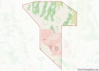
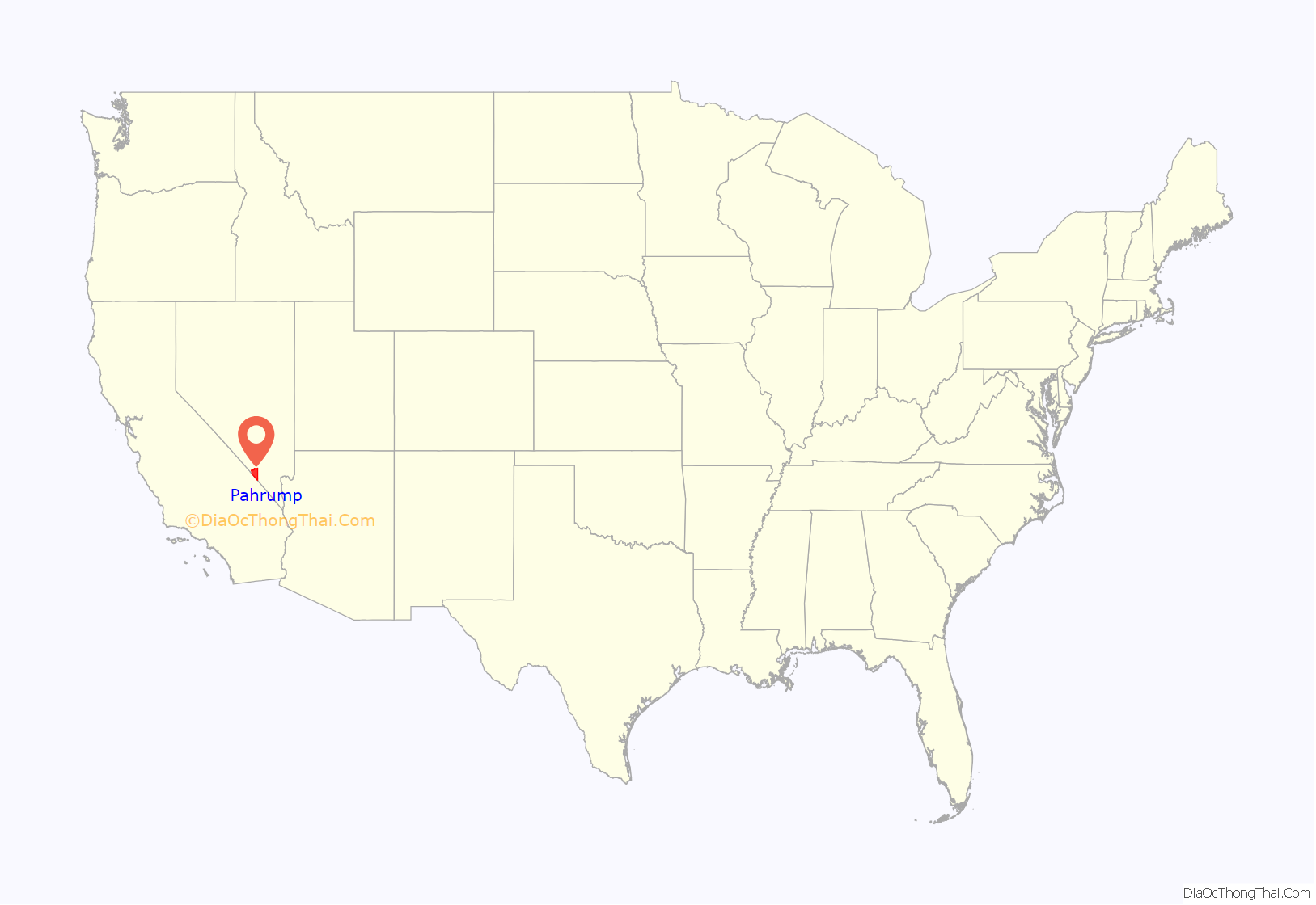
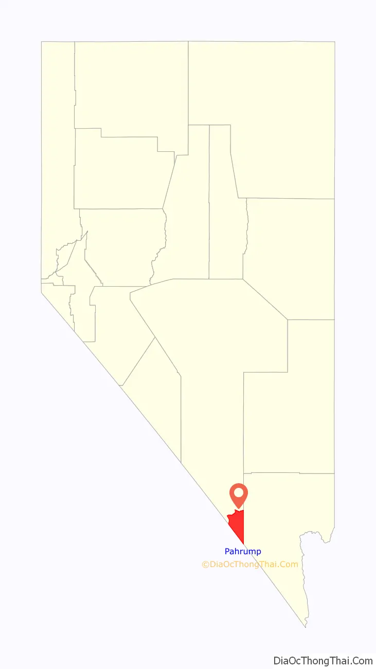
Pahrump location map. Where is Pahrump CDP?
History
Pahrump was originally inhabited by the Southern Paiute. It was slowly inhabited by settlers in the late 19th century. They reportedly chose the name for Pahrump after the original Southern Paiute name Pah-Rimpi, or “Water Rock,” so named because of the abundant artesian wells in the valley. Because of the artesian wells, the new inhabitants of Pahrump Valley began a number of large ranch-style holdings, mostly over 1,000 acres (400 ha) in size. On the ranches, alfalfa and cotton were grown, and livestock were raised.
Until the 1960s, Pahrump had no telephone service except a radio transmitter phone in a phone booth next to the small market, and there were no paved roads in or out of the Pahrump Valley. As Las Vegas grew, real estate speculation became somewhat more popular in the area. This led to the introduction of telephone service and the construction of a paved highway between Las Vegas and Pahrump during the late 1960s. Later, this road (NV 160) was extended from Pahrump northward to US 95, near Amargosa Valley. A second paved road (NV 372) was introduced that went from Pahrump to neighboring Shoshone, California, which provided a link to the Death Valley area, as well as a shorter route to those wishing to travel to Los Angeles or other areas in California. In the fifties and sixties, there was a two-room elementary school and the high school students went to Shoshone. In 1974, Pahrump’s first high school, Pahrump Valley High School, was constructed.
Pahrump is an archetypal example of an exurb. Almost all significant agriculture has ended in the valley, and over the years the surface aquifers have been drained.
Las Vegas casino owner Ted Binion buried a large treasure of silver in a secret underground vault in Pahrump. In 1998, Binion died under suspicious circumstances, and one of the parties accused of murdering Binion was apprehended while digging up the vault in Pahrump. A book about the Binion murder trial (and Las Vegas poker) is Positively Fifth Street by James McManus.
On November 15, 2006, the Pahrump town board voted for an ordinance declaring English the official language of business, forbidding the display of foreign flags, and denying any benefits to illegal immigrants. A measure in the ordinance required an American flag to be displayed above any other flag, regardless of what organization, nation, or government it represented. The ordinance was repealed four months later because of bad publicity.
On November 4, 2017, Koenigsegg Automotive AB achieved the highest top speed of a production car ever, surpassing the Bugatti Veyron. The Koenigsegg Agera RS reached a top speed of 277.9 mph (447.2 km/h) on Nevada State Route 160.
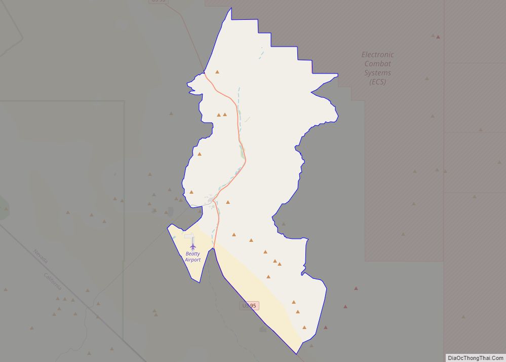
Pahrump Road Map
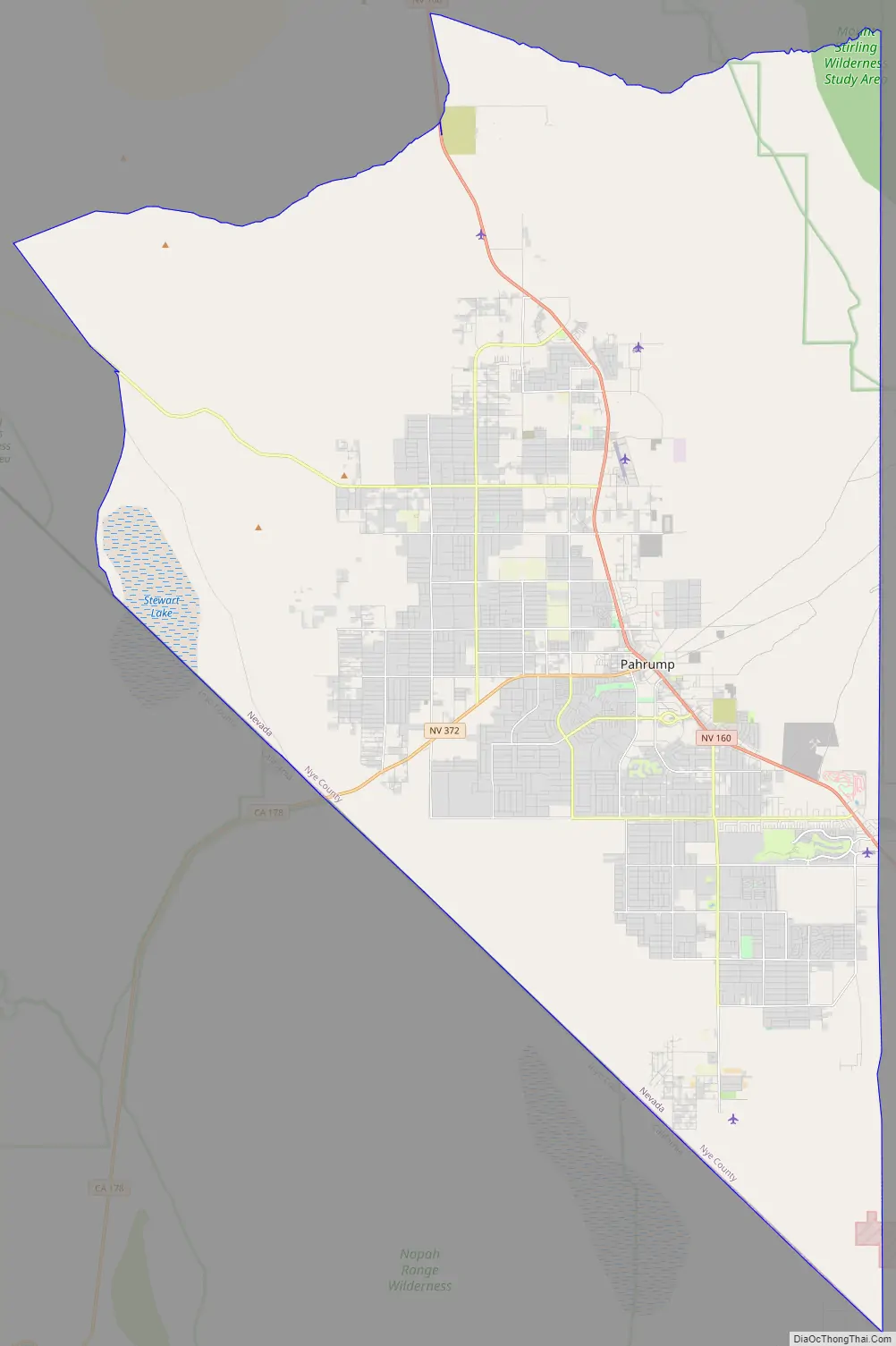
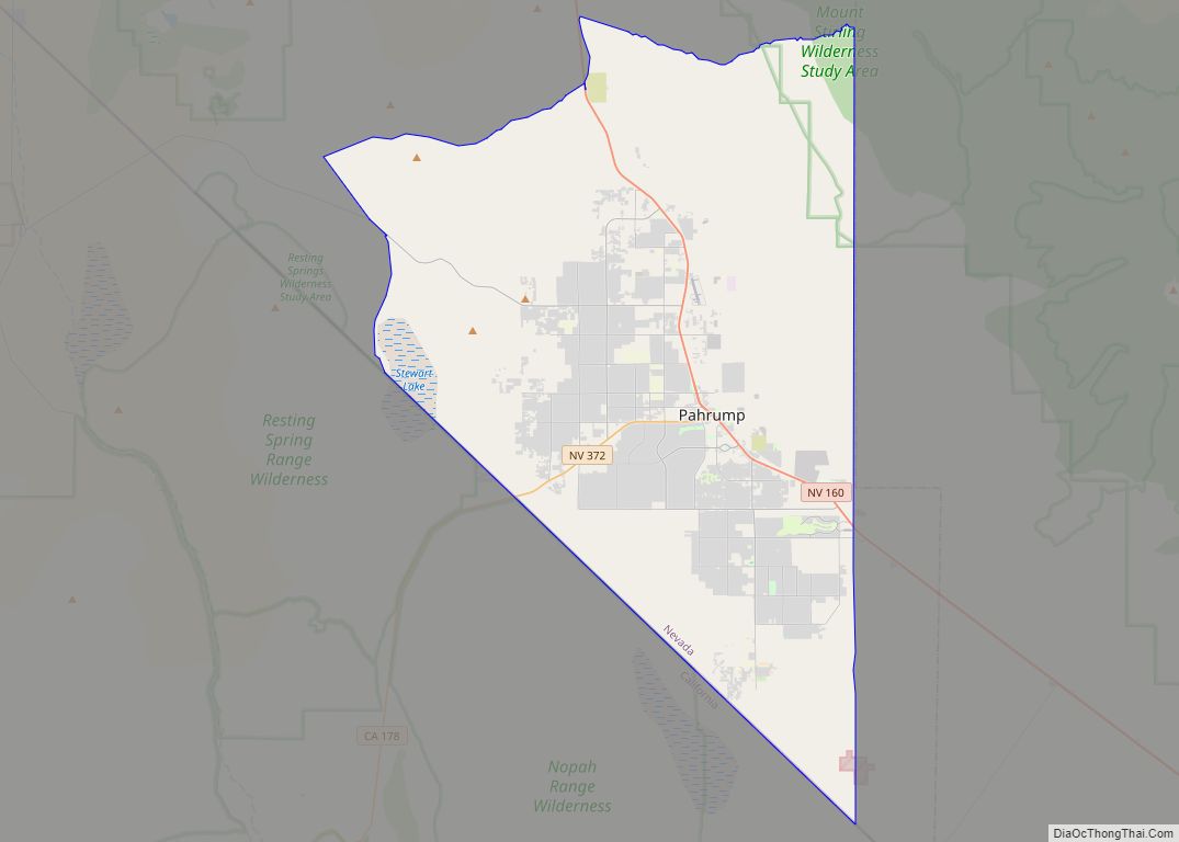
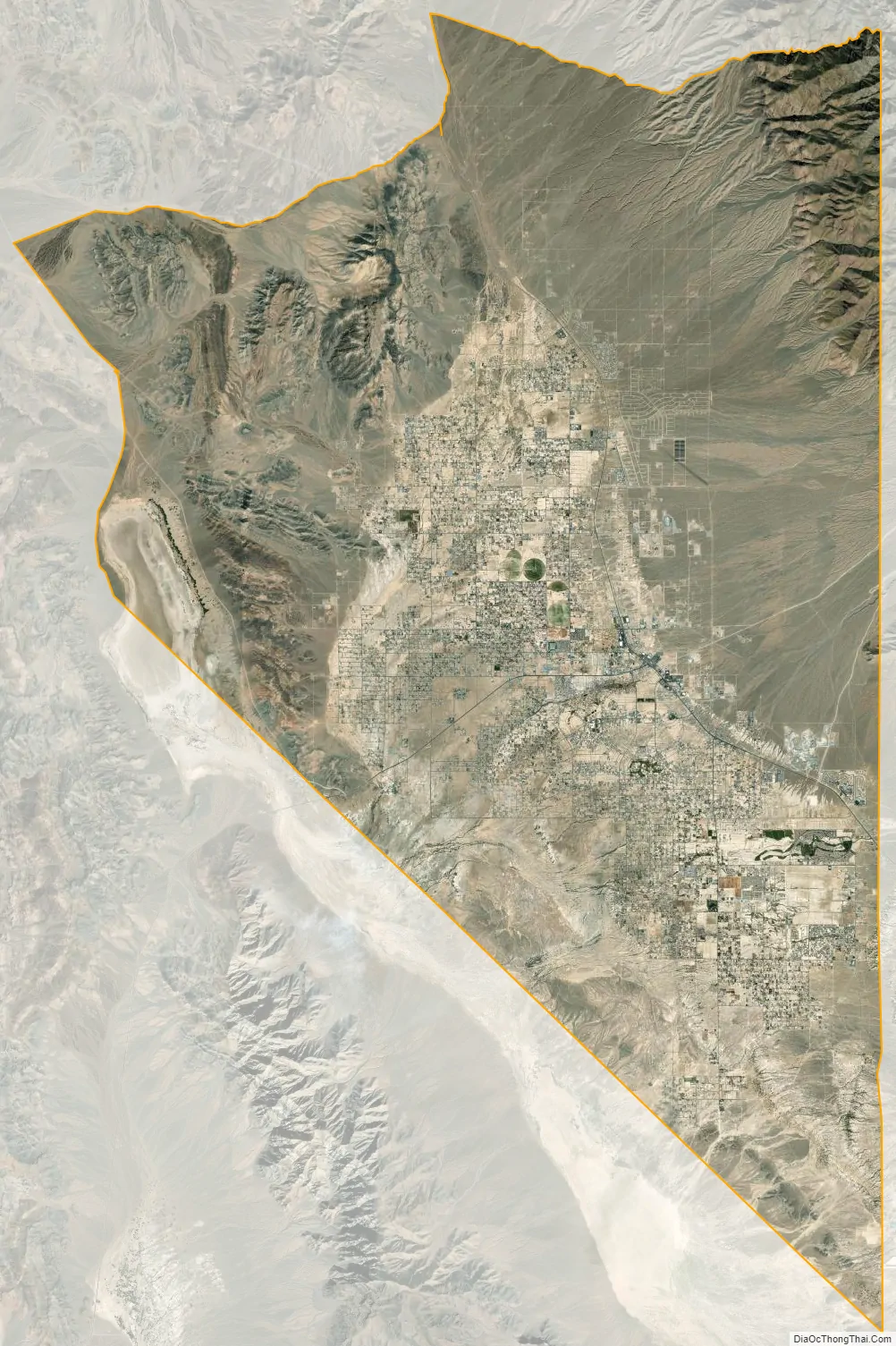
Pahrump city Satellite Map
Geography
According to the United States Census Bureau, the census-designated place of Pahrump has a total area of 297.9 sq mi (771.5 km), all of which is land. By area, it is the largest CDP in the contiguous United States, although it ranks only eleventh nationally, since the largest ten are all in Alaska. The area lies in the Mojave Desert.
Summers in Pahrump are generally very hot and dry, with occasional pushes of monsoonal moisture beginning in early July. Being at a similar elevation to Las Vegas, daytime highs in summer average within a few degrees lower than that of Las Vegas. Record highs are similar between the two cities as well. A typical day during June through August brings temperatures around 100 °F (38 °C), and occasionally 110 °F (43 °C). Nighttime temperatures, however, are noticeably cooler. This is due to the lack of an urban heat island in Pahrump, allowing for intense radiative cooling after sundown. As a result, summer nights are pleasantly warm, bottoming out in the mid-60s or 70s °F (around 20 °C). Pahrump’s location in a valley leads to large diurnal temperature ranges, typically 30 °F (17 °C) but occasionally 40 °F (22 °C). By late August and early September, the sweltering summer heat noticeably tempers down. September is the gateway to fall, which brings very pleasant weather. October highs are generally 80 °F (27 °C) and nighttime temperatures in the 50s °F (low teens °C). Due to its elevation, Pahrump is protected from the searing summer temperatures experienced in the nearby Death Valley.
Like other locations in the Mojave desert, winters are typically mild, with occasional pushes of cold air from the north. Daytime highs average from the mid-50s and 60s °F (10s °C), but low temperatures hover around freezing for most nights between December and February. Spring brings pleasantly warm temperatures and cool evenings. Like other locations in the Mojave desert, this is the windiest time of year. Snowfall is rare in Pahrump, but there is generally at least one snow day per year.
See also
Map of Nevada State and its subdivision: Map of other states:- Alabama
- Alaska
- Arizona
- Arkansas
- California
- Colorado
- Connecticut
- Delaware
- District of Columbia
- Florida
- Georgia
- Hawaii
- Idaho
- Illinois
- Indiana
- Iowa
- Kansas
- Kentucky
- Louisiana
- Maine
- Maryland
- Massachusetts
- Michigan
- Minnesota
- Mississippi
- Missouri
- Montana
- Nebraska
- Nevada
- New Hampshire
- New Jersey
- New Mexico
- New York
- North Carolina
- North Dakota
- Ohio
- Oklahoma
- Oregon
- Pennsylvania
- Rhode Island
- South Carolina
- South Dakota
- Tennessee
- Texas
- Utah
- Vermont
- Virginia
- Washington
- West Virginia
- Wisconsin
- Wyoming