Rachel is a census-designated place (CDP) in Lincoln County, Nevada, United States. As of the 2020 census, it had a population of 48. As the closest settlement to the Nellis Air Force Range and Area 51, Rachel enjoys a modest celebrity status, particularly among aviation enthusiasts and UFO hunters.
| Name: | Rachel CDP |
|---|---|
| LSAD Code: | 57 |
| LSAD Description: | CDP (suffix) |
| State: | Nevada |
| County: | Lincoln County |
| Elevation: | 4,840 ft (1,480 m) |
| Total Area: | 4.34 sq mi (11.24 km²) |
| Land Area: | 4.34 sq mi (11.24 km²) |
| Water Area: | 0.00 sq mi (0.00 km²) |
| Total Population: | 48 |
| Population Density: | 11.07/sq mi (4.27/km²) |
| ZIP code: | 89001 |
| Area code: | 775 |
| FIPS code: | 3258820 |
| GNISfeature ID: | 0851195 |
| Website: | www.rachel-nevada.com |
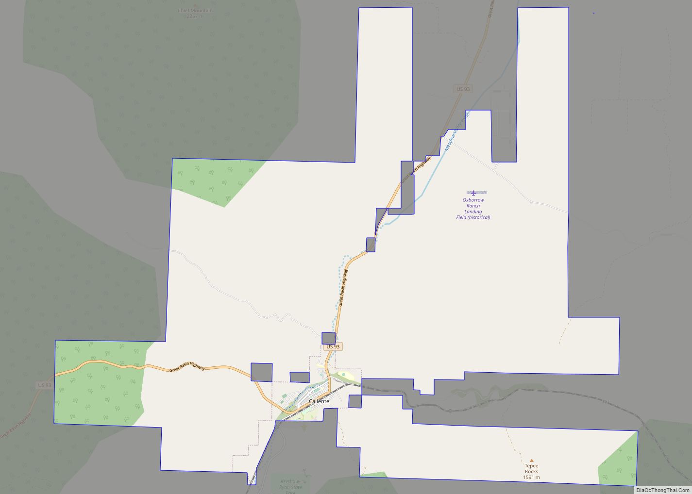
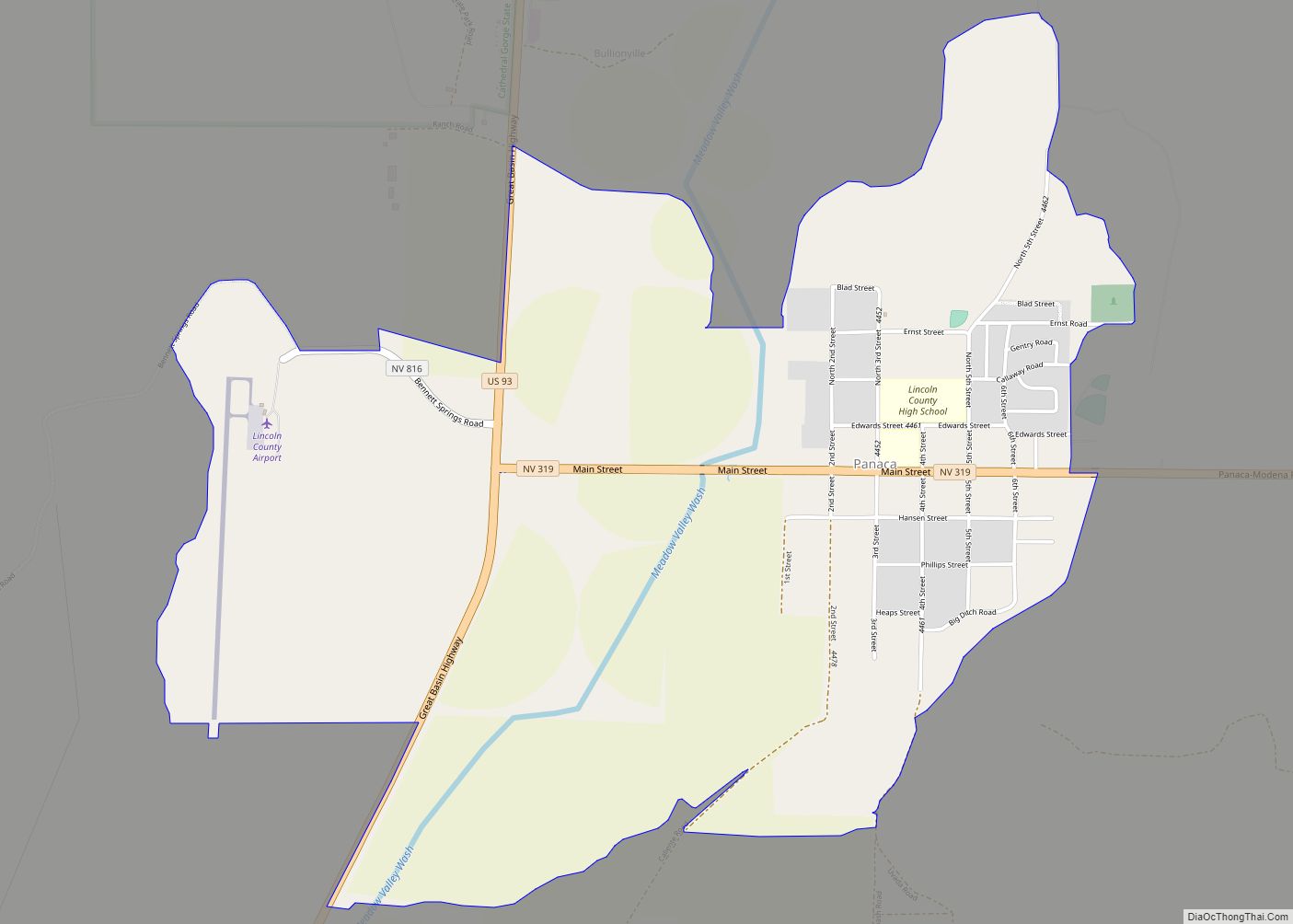
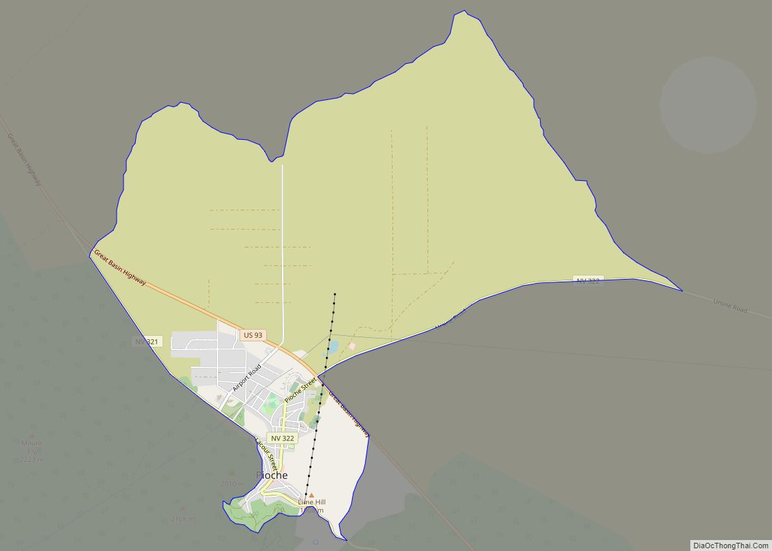
Online Interactive Map
Click on ![]() to view map in "full screen" mode.
to view map in "full screen" mode.
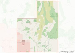
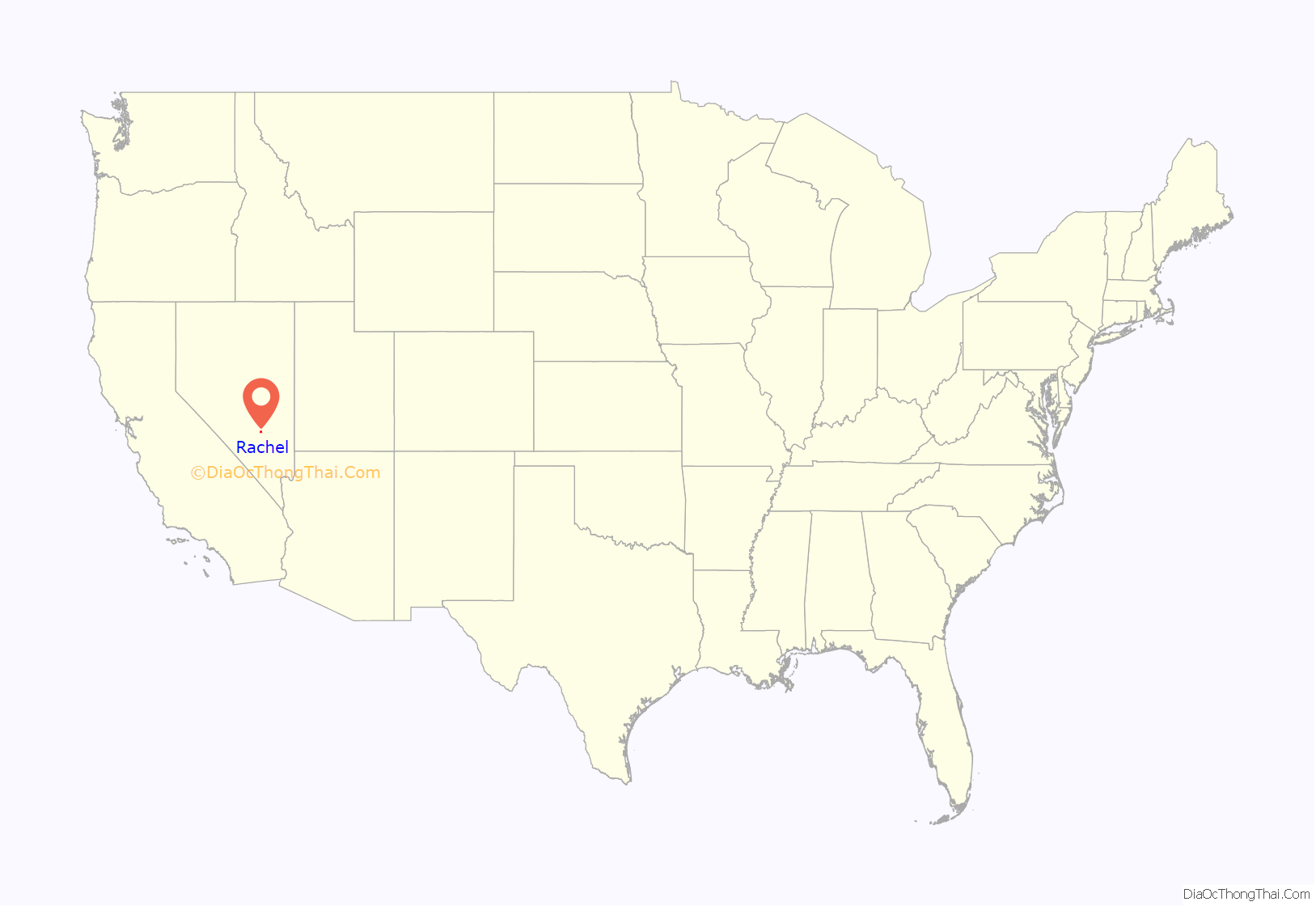
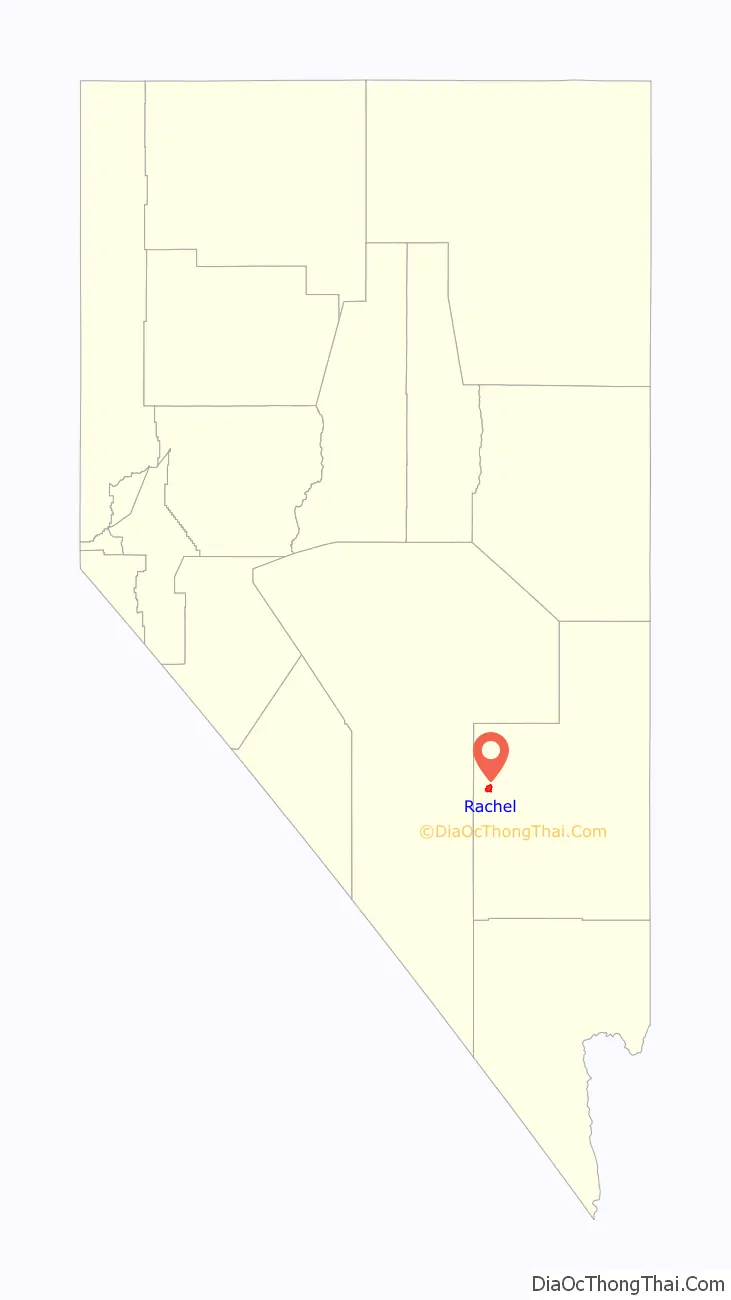
Rachel location map. Where is Rachel CDP?
History
Early years
Rachel was founded in May 1973 by a local alfalfa farmer named D.C. Day. The community was first known as Tempiute Village, and then later as Sand Springs.
On February 15, 1978, the town was renamed to Rachel after the first baby born in the valley, Rachel Jones (1978–1980). Rachel Jones died on May 24, 1980. In memory of her, Rachel residents created a cemetery and memorial park. Rachel Jones was not buried at Rachel Cemetery.
Electricity arrived in Rachel on March 22, 1978, supplied to the Penoyer Valley by the Penoyer Valley Electric Cooperative.
In 1980, the Rachel Baptist Mission, Rachel’s only church, began service in a donated mobile home. Since then, a part-time pastor has come to Rachel for religious services every Sunday morning.
Mid-air collision
On July 10, 1986, at about 4:10 pm, two F-16s of the Norwegian Air Force collided in mid-air while participating in Red Flag exercises near Rachel. One of them crashed within Rachel, only 25 yards (23 m) from the edge of a mobile home park. The pilot of the downed fighter had ejected safely before the crash, and the other F-16 made it back to Nellis Air Force Base. The pilot of the downed F-16 suffered only minor injuries, and was transported from the crash site within 20 minutes of the incident by a U.S. Air Force helicopter.
Recent events
In 1995, the Rachel Baptist Mission moved into a permanent building at the same site that it had occupied previously.
In 2006, KFC created a giant company logo on the ground at the north edge of Rachel and claimed it to be the first logo visible from space. Constructed in early November, it took six days to assemble the 65,000 colored tiles on 87,500 square feet (8,130 m) of flat desert terrain. The logo also had a hidden message on the tie area of the logo that featured an impostor colonel holding a sign over his head, reading “Finger Lickin’ Good”. The logo was removed in mid-2007.
Rachel was featured in an episode of Louis Theroux’s Weird Weekends which covered the UFO subculture. Rachel was mentioned in a two-part episode of The X-Files entitled “Dreamland”, in which a secret agent aware of the hidden backstory of the show, played by Michael McKean, resided in the town and in which it is portrayed as much larger, and more suburban than it is in reality. It is also a key place in the first-person shooter game BlackSite: Area 51.
In 1996 the producers of the movie Independence Day, gave the town a time capsule, which is installed near the inn and is intended to be opened in 2050.
Beginning September 19, 2019, the day before the Area 51 Raid people were reported showing up and camping around Rachel in preparation for the raid.
Alien Cowpoke Gas Station and General Store opened in Oct. 2020 and a planned campground and RV hookup ready to open by Fall 2021.
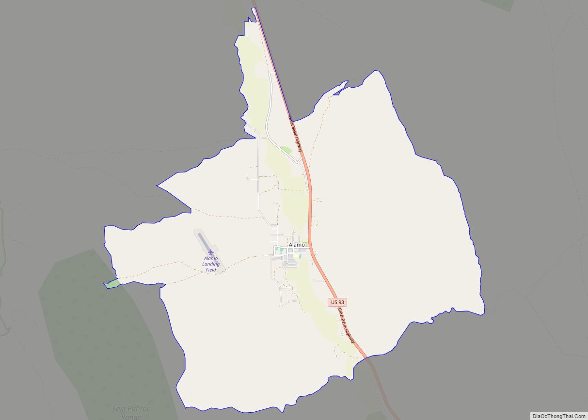
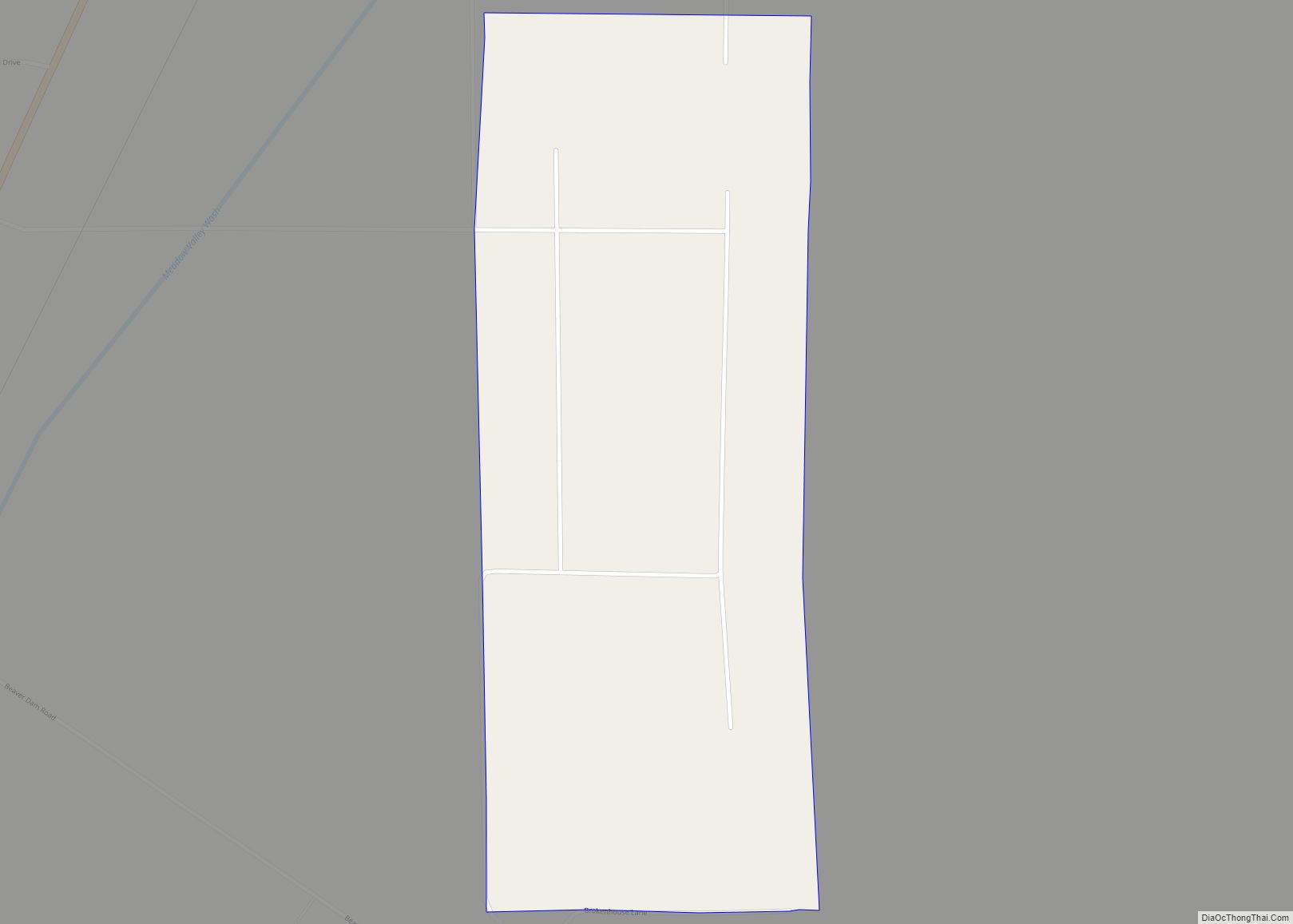
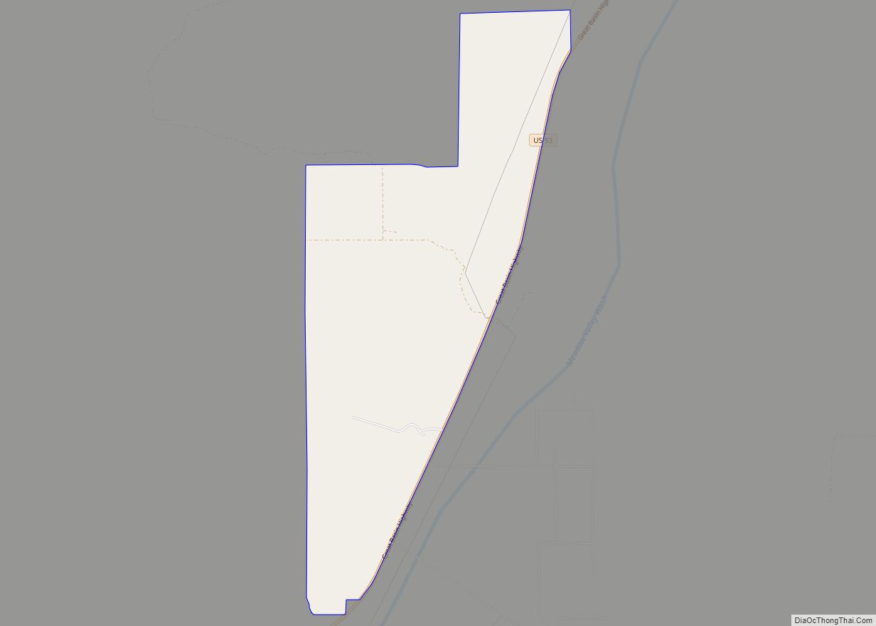
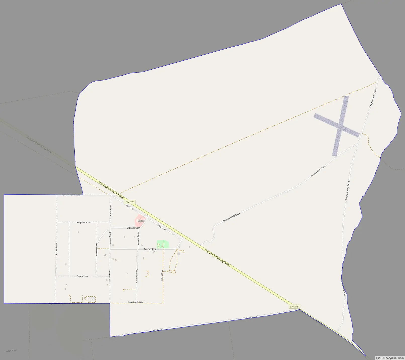
Rachel Road Map
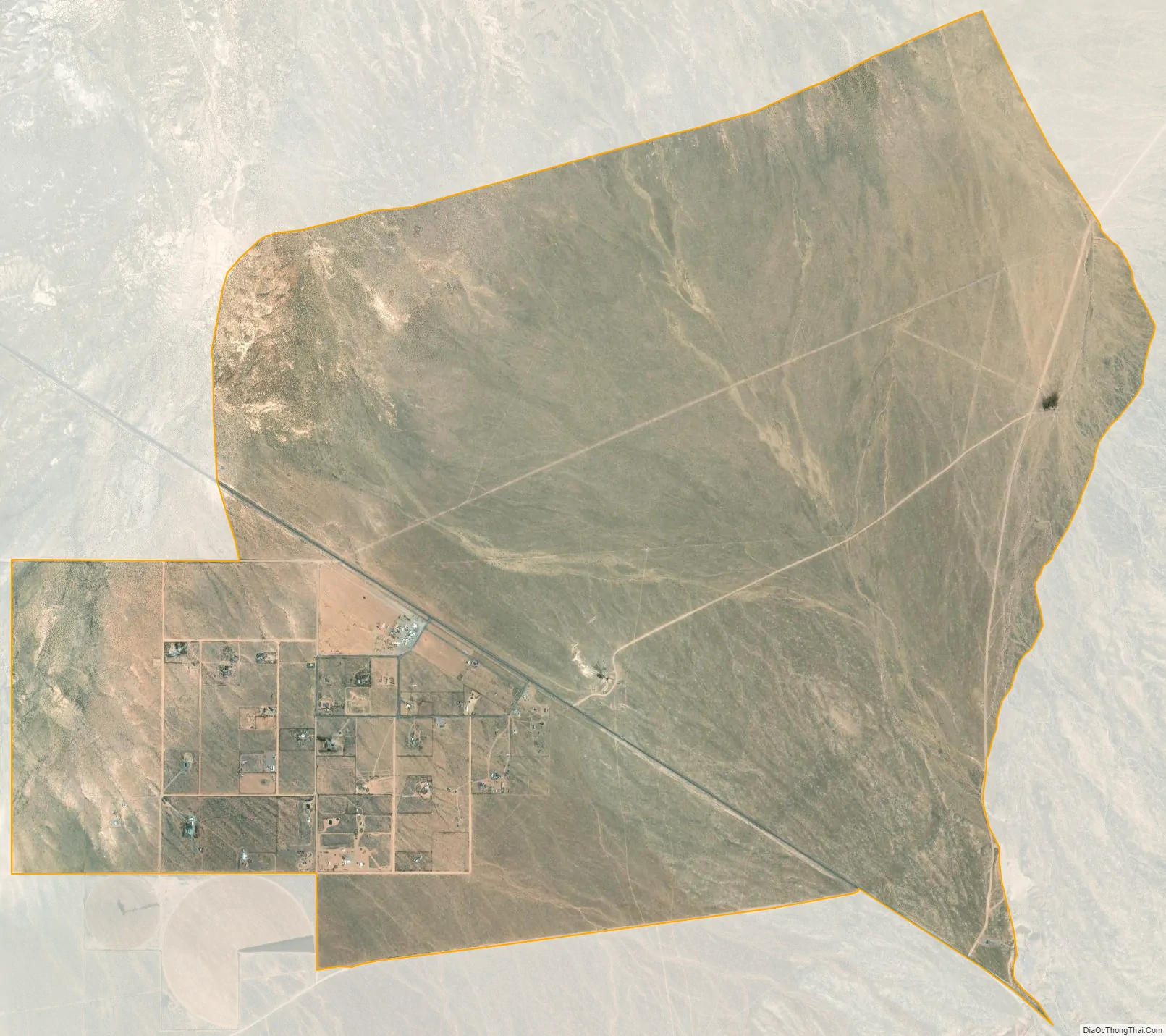
Rachel city Satellite Map
See also
Map of Nevada State and its subdivision: Map of other states:- Alabama
- Alaska
- Arizona
- Arkansas
- California
- Colorado
- Connecticut
- Delaware
- District of Columbia
- Florida
- Georgia
- Hawaii
- Idaho
- Illinois
- Indiana
- Iowa
- Kansas
- Kentucky
- Louisiana
- Maine
- Maryland
- Massachusetts
- Michigan
- Minnesota
- Mississippi
- Missouri
- Montana
- Nebraska
- Nevada
- New Hampshire
- New Jersey
- New Mexico
- New York
- North Carolina
- North Dakota
- Ohio
- Oklahoma
- Oregon
- Pennsylvania
- Rhode Island
- South Carolina
- South Dakota
- Tennessee
- Texas
- Utah
- Vermont
- Virginia
- Washington
- West Virginia
- Wisconsin
- Wyoming