Unionville is a small hamlet in Pershing County, Nevada, located south of I-80 and just west of State Route 400 on Unionville Road, with the most recent population estimate being approximately 20 people. The town’s best years were during the 1870s, when it was an active mining and prospecting town serving the surrounding hilly region. For a brief time, Samuel Langhorne Clemens lived there and prospected, but left without having had much success. Currently, the hamlet consists of a single business – a tourist inn – and a few small houses clustered along or near the gravel roadway which permits vehicular ingress and egress. The nearest paved road, an extension of this gravel road, is about 7 miles to the east. The nearest services of any sort, other than those available at the inn, are approximately one hour’s drive away.
Now in Pershing County, Unionville was the original county seat for Humboldt County, serving in that capacity from its founding in July 1861 until the seat was relocated to Winnemucca in 1873. The big mining boom at Unionville occurred between 1863 and 1870. During that time, the population was reported to be as high as 1,500 persons. Mark Twain arrived in Unionville with the intention of prospecting for silver in 1862, describing the town as consisting of “eleven cabins and a liberty-pole”. As is common in most mining communities, after the boom, the town experienced a decline soon afterwards. By 1870, it was discovered that there was little rich ore in the district. The decline was speeded by the completion of the Central Pacific Railroad through the Humboldt valley, and the establishment of Winnemucca as a major trading and shipping center.
There is now no formal government as such in the hamlet of Unionville, which is unincorporated. Some abandoned buildings such as Twain’s cabin and a one-room schoolhouse remain standing in various stages of disrepair, but there is no ongoing, active effort to preserve any of these. Unionville is frequently referred to as a ghost town. Just north of the town’s limits is a cemetery, which may still be used for occasional burials. A few hundred yards farther into the county, there is a fork in the main road. Aerial photographs reveal a large cemented foundation upon which stand two large structures, along with two or three smaller structures of relatively recent vintage. These structures are Unionville’s local garbage dumping grounds.
| Name: | Unionville CDP |
|---|---|
| LSAD Code: | 57 |
| LSAD Description: | CDP (suffix) |
| State: | Nevada |
| County: | Pershing County |
| Elevation: | 5,050.03 ft (1,539.25 m) |
| Total Area: | 0.77 sq mi (2.01 km²) |
| Land Area: | 0.77 sq mi (2.01 km²) |
| Water Area: | 0.00 sq mi (0.00 km²) |
| Total Population: | 27 |
| Population Density: | 34.88/sq mi (13.46/km²) |
| FIPS code: | 3276400 |
Online Interactive Map
Click on ![]() to view map in "full screen" mode.
to view map in "full screen" mode.
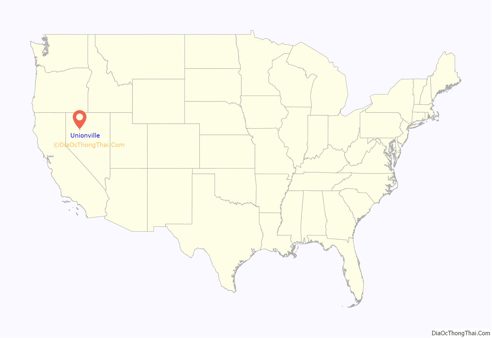
Unionville location map. Where is Unionville CDP?
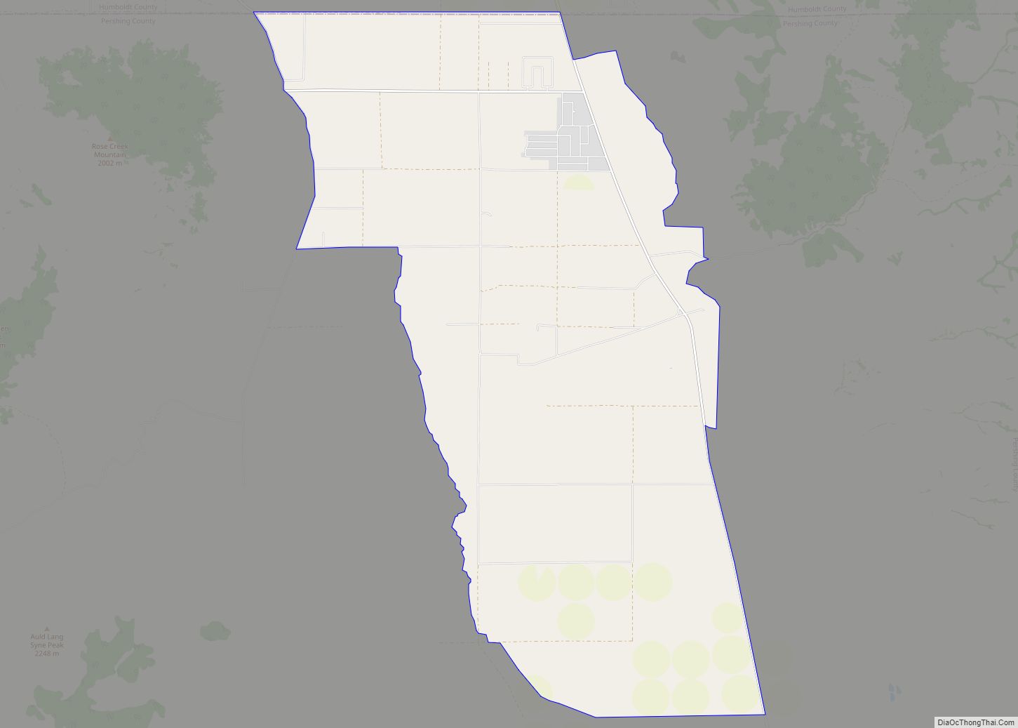
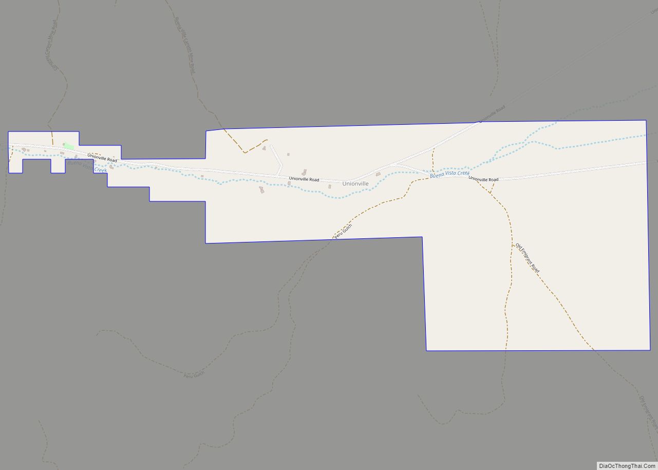
Unionville Road Map
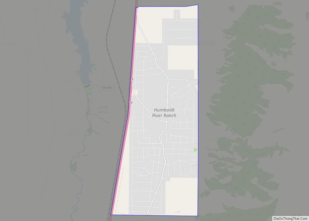
Unionville city Satellite Map
See also
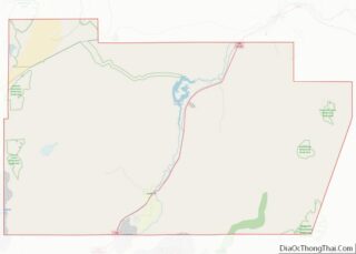
Map of Nevada State and its subdivision: Map of other states:- Alabama
- Alaska
- Arizona
- Arkansas
- California
- Colorado
- Connecticut
- Delaware
- District of Columbia
- Florida
- Georgia
- Hawaii
- Idaho
- Illinois
- Indiana
- Iowa
- Kansas
- Kentucky
- Louisiana
- Maine
- Maryland
- Massachusetts
- Michigan
- Minnesota
- Mississippi
- Missouri
- Montana
- Nebraska
- Nevada
- New Hampshire
- New Jersey
- New Mexico
- New York
- North Carolina
- North Dakota
- Ohio
- Oklahoma
- Oregon
- Pennsylvania
- Rhode Island
- South Carolina
- South Dakota
- Tennessee
- Texas
- Utah
- Vermont
- Virginia
- Washington
- West Virginia
- Wisconsin
- Wyoming
