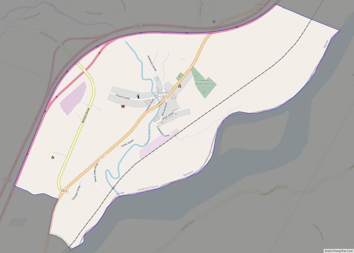
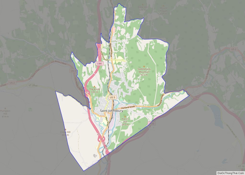
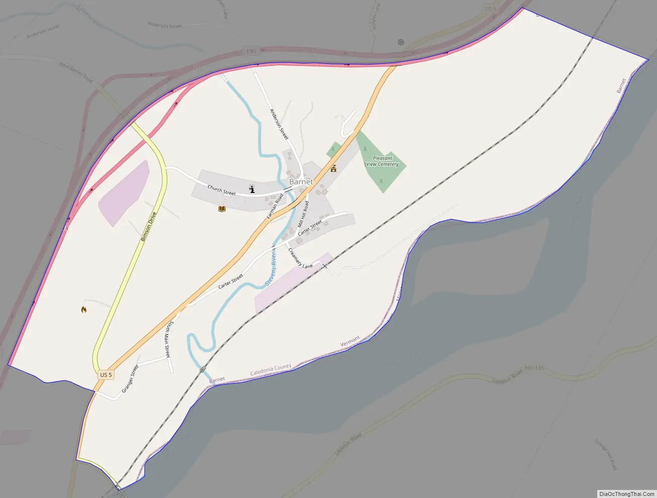
Barnet is the primary village and a census-designated place (CDP) in the town of Barnet, Caledonia County, Vermont, United States. As of the 2020 census, the CDP had a population of 127, out of 1,663 in the entire town of Barnet.
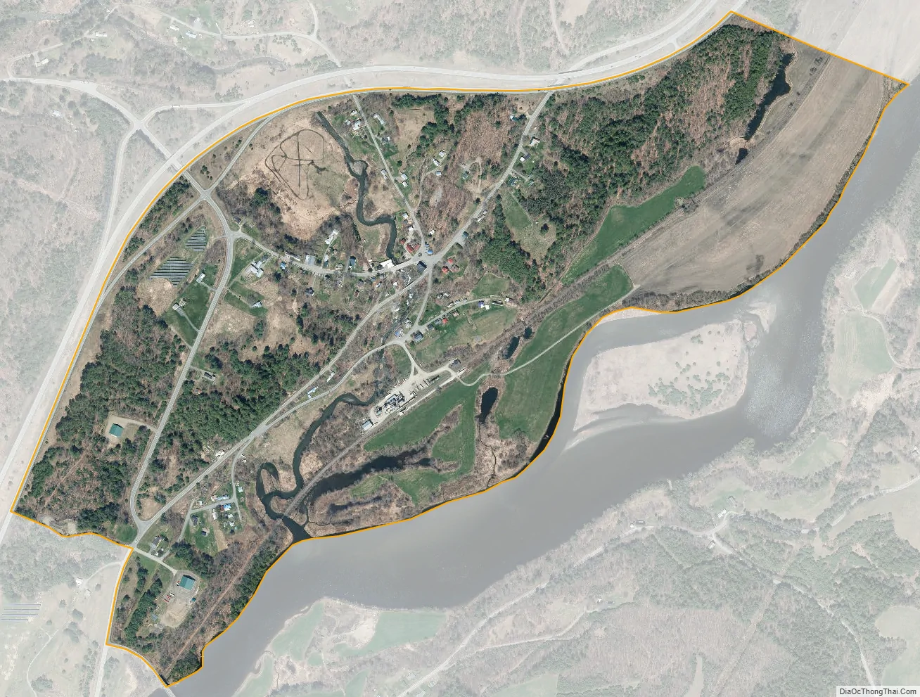
The village is in southeastern Caledonia County, along the southeast edge of the town of Barnet, sitting on the west bank of the Connecticut River. It is bordered to the southeast, across the river, by the town of Monroe, New Hampshire.
Interstate 91 forms the northwest edge of the CDP, with access from Exit 18 (West Barnet Road). I-91 leads north 10 miles (16 km) to St. Johnsbury and south 50 miles (80 km) to White River Junction. U.S. Route 5 passes through the center of the village, paralleling I-91; it leads north 9 miles (14 km) to St. Johnsbury and south 11 miles (18 km) to Wells River.
| Name: | Barnet CDP |
|---|---|
| LSAD Code: | 57 |
| LSAD Description: | CDP (suffix) |
| State: | Vermont |
| County: | Caledonia County |
| Elevation: | 571 ft (174 m) |
| Total Area: | 0.64 sq mi (1.67 km²) |
| Land Area: | 0.63 sq mi (1.62 km²) |
| Water Area: | 0.02 sq mi (0.05 km²) |
| ZIP code: | 05821 |
| Area code: | 802 |
| FIPS code: | 5002800 |
| GNISfeature ID: | 2586617 |
Online Interactive Map
Click on ![]() to view map in "full screen" mode.
to view map in "full screen" mode.
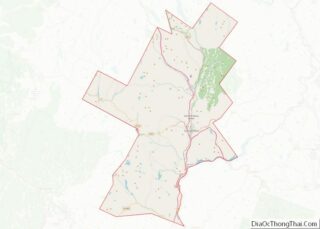
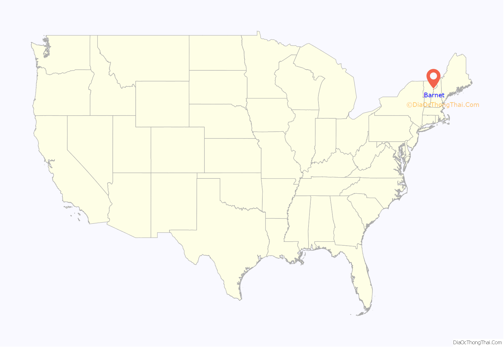
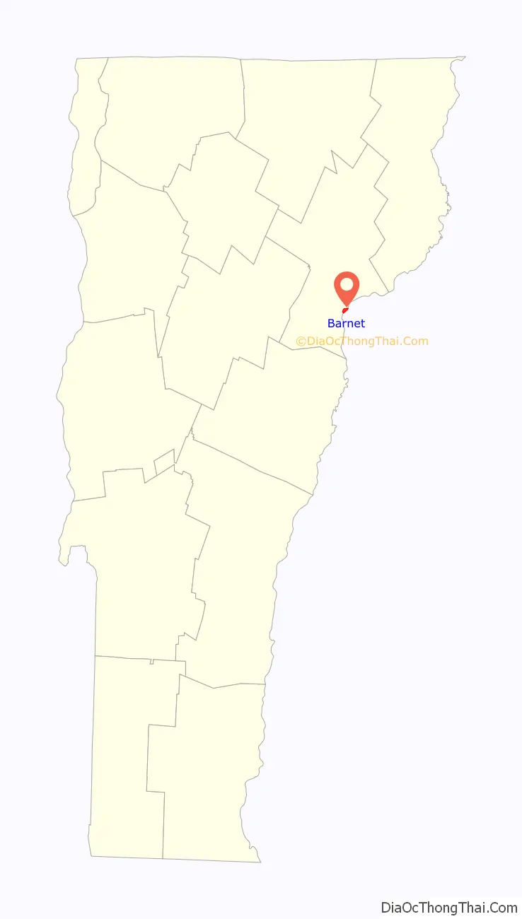
Barnet location map. Where is Barnet CDP?
Barnet Road Map
Barnet city Satellite Map
See also
Map of Vermont State and its subdivision: Map of other states:- Alabama
- Alaska
- Arizona
- Arkansas
- California
- Colorado
- Connecticut
- Delaware
- District of Columbia
- Florida
- Georgia
- Hawaii
- Idaho
- Illinois
- Indiana
- Iowa
- Kansas
- Kentucky
- Louisiana
- Maine
- Maryland
- Massachusetts
- Michigan
- Minnesota
- Mississippi
- Missouri
- Montana
- Nebraska
- Nevada
- New Hampshire
- New Jersey
- New Mexico
- New York
- North Carolina
- North Dakota
- Ohio
- Oklahoma
- Oregon
- Pennsylvania
- Rhode Island
- South Carolina
- South Dakota
- Tennessee
- Texas
- Utah
- Vermont
- Virginia
- Washington
- West Virginia
- Wisconsin
- Wyoming