Brandon is an unincorporated village and census-designated place (CDP) in the town of Brandon, Rutland County, Vermont, United States. As of the 2020 census, the population was 1,727.
Most of the village is listed on the National Register of Historic Places as the Brandon Village Historic District.
| Name: | Brandon CDP |
|---|---|
| LSAD Code: | 57 |
| LSAD Description: | CDP (suffix) |
| State: | Vermont |
| County: | Rutland County |
| Elevation: | 427 ft (130 m) |
| Total Area: | 2.8 sq mi (7.4 km²) |
| Land Area: | 2.8 sq mi (7.4 km²) |
| Water Area: | 0.0 sq mi (0.0 km²) |
| Total Population: | 1,727 |
| Population Density: | 620/sq mi (230/km²) |
| ZIP code: | 05733 |
| Area code: | 802 |
| FIPS code: | 5007675 |
| GNISfeature ID: | 1460649 |
Online Interactive Map
Click on ![]() to view map in "full screen" mode.
to view map in "full screen" mode.
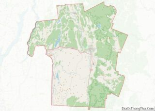
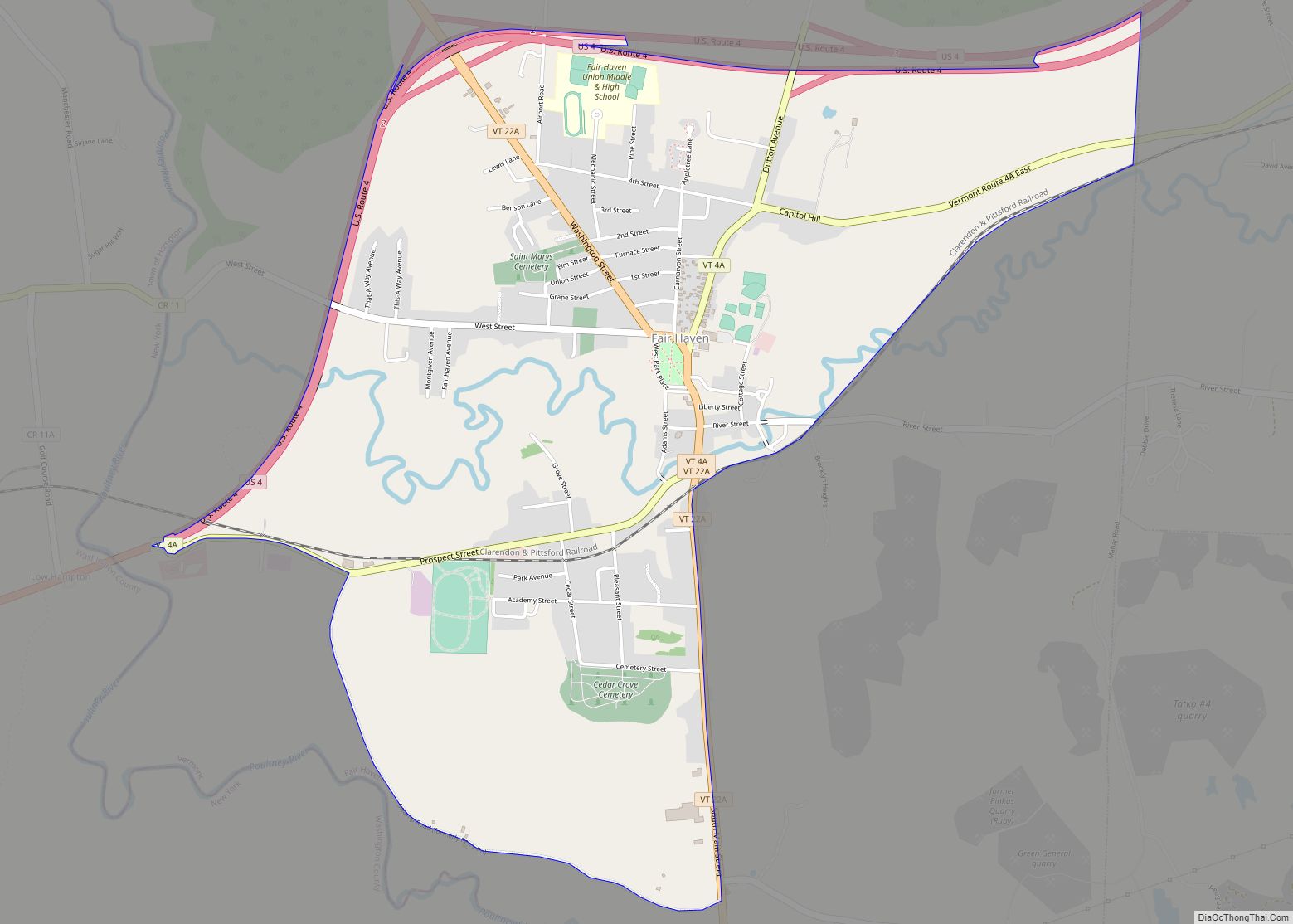
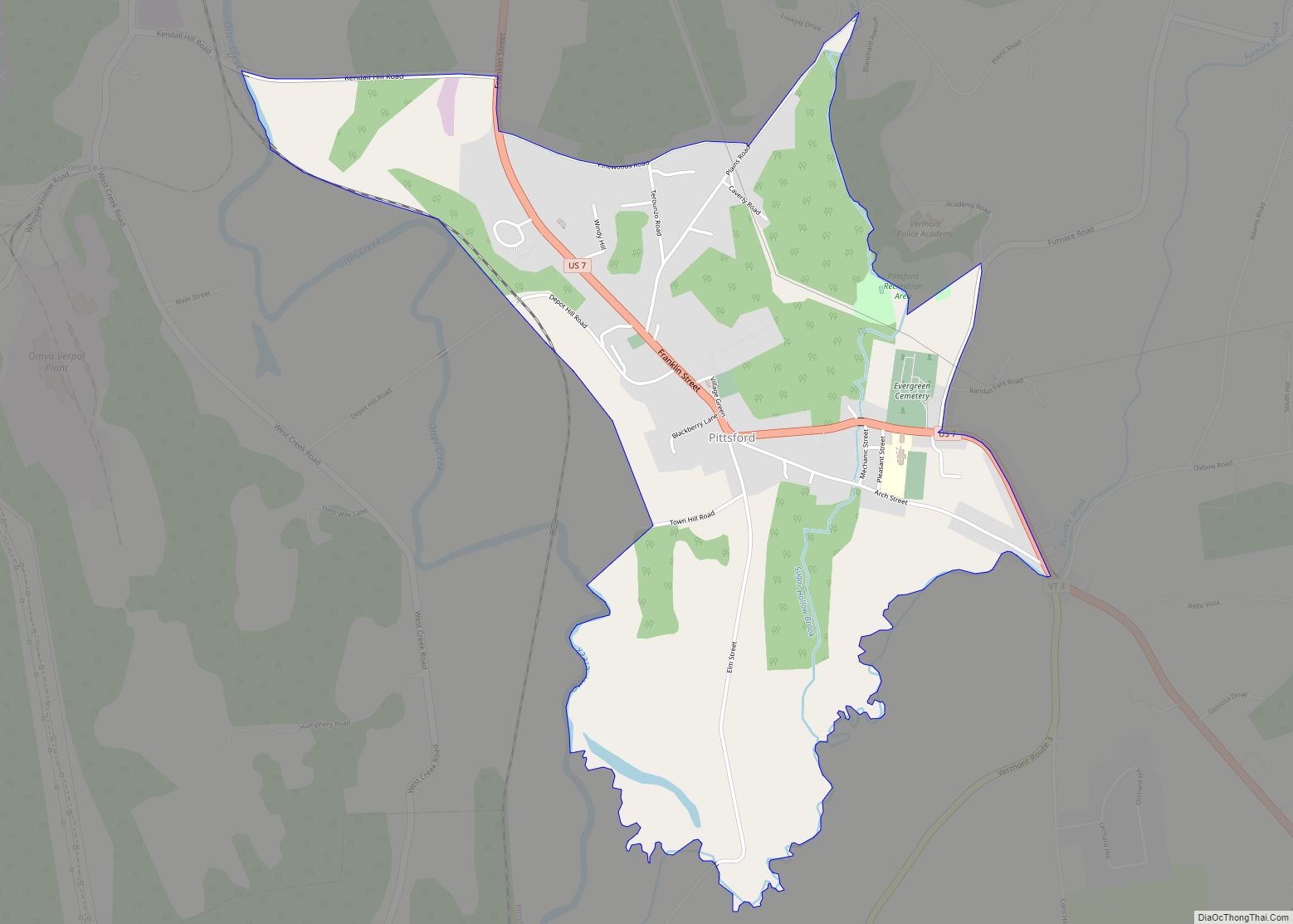
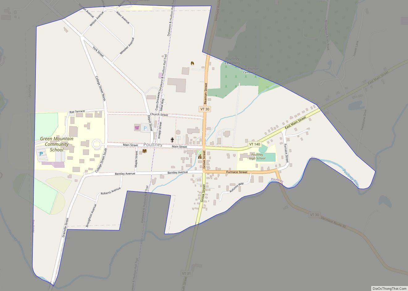
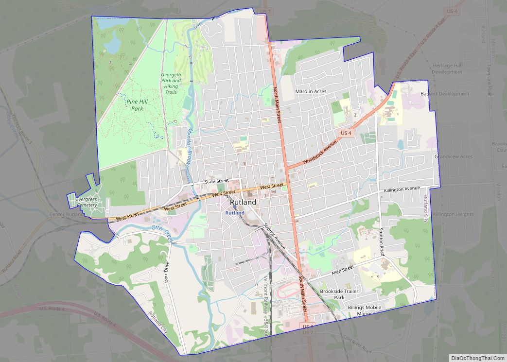
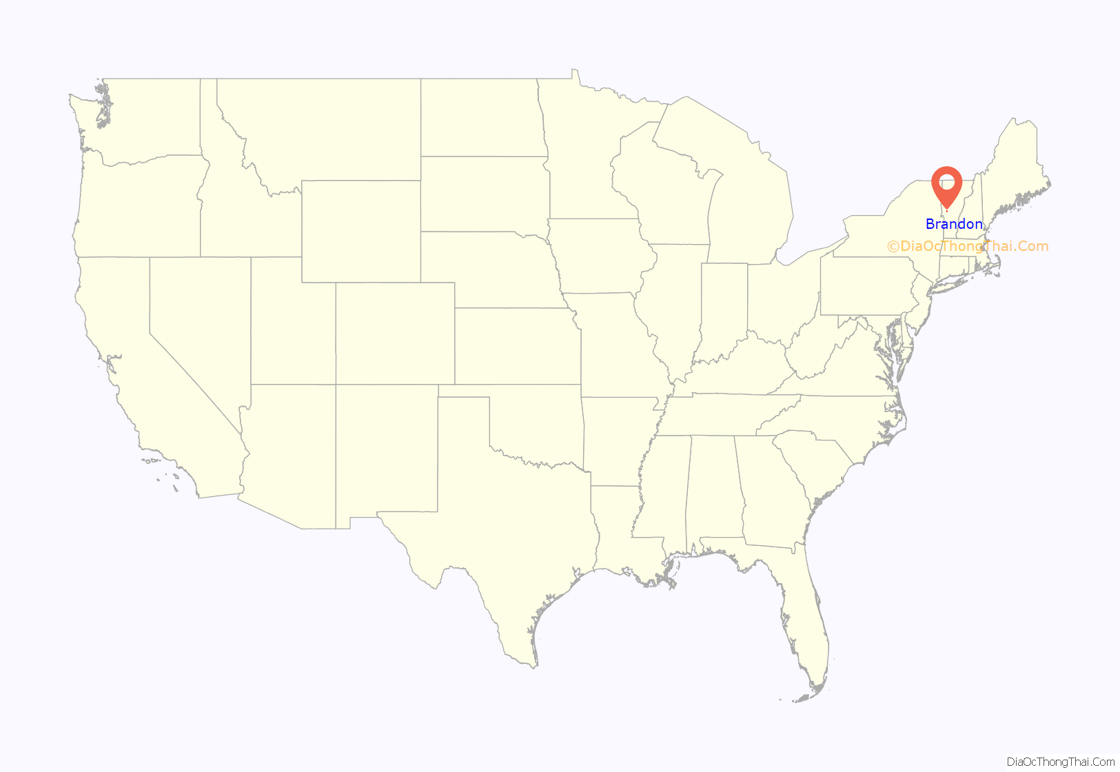
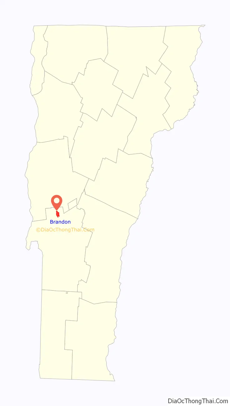
Brandon location map. Where is Brandon CDP?
History
In 1976, approximately 300 acres (120 ha) along U.S. Route 7 in Brandon and its vicinity were listed as a historic district on the National Register of Historic Places. The district includes nearly 250 buildings significant for their history and their architecture.
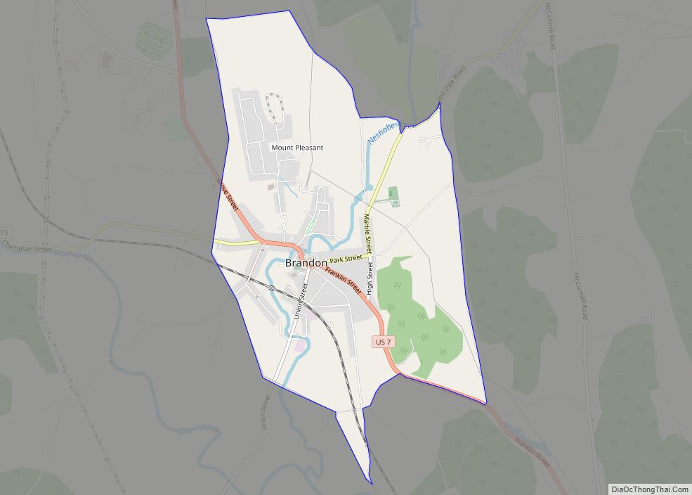
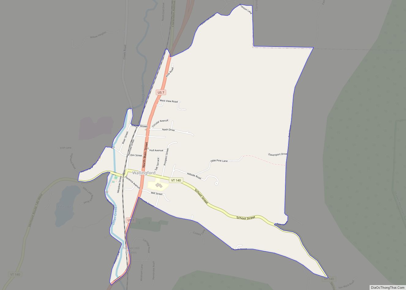
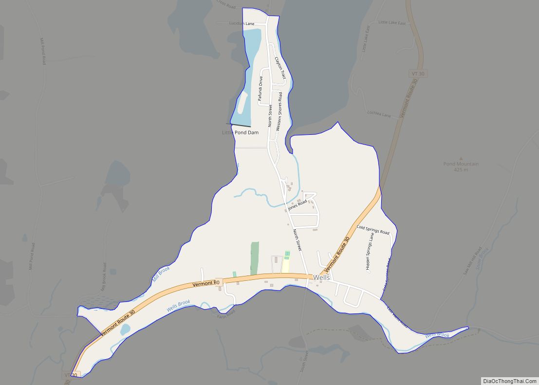
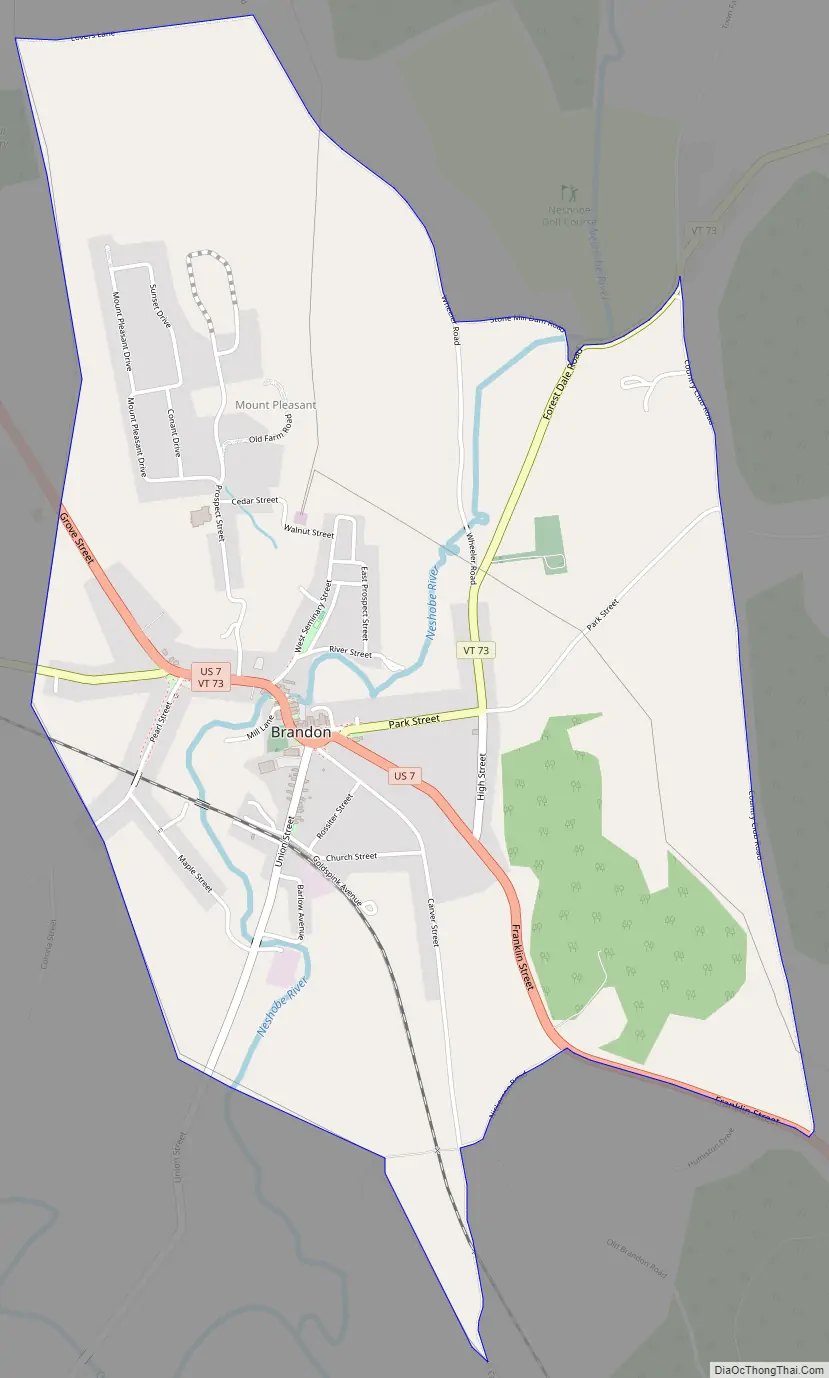
Brandon Road Map
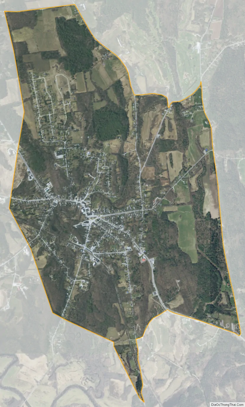
Brandon city Satellite Map
Geography
Brandon is located at 43°47′53″N 73°5′11″W / 43.79806°N 73.08639°W / 43.79806; -73.08639 (43.798056, 73.086389).
According to the United States Census Bureau, the CDP has a total area of 7.4 km (2.8 mi), all land.
See also
Map of Vermont State and its subdivision: Map of other states:- Alabama
- Alaska
- Arizona
- Arkansas
- California
- Colorado
- Connecticut
- Delaware
- District of Columbia
- Florida
- Georgia
- Hawaii
- Idaho
- Illinois
- Indiana
- Iowa
- Kansas
- Kentucky
- Louisiana
- Maine
- Maryland
- Massachusetts
- Michigan
- Minnesota
- Mississippi
- Missouri
- Montana
- Nebraska
- Nevada
- New Hampshire
- New Jersey
- New Mexico
- New York
- North Carolina
- North Dakota
- Ohio
- Oklahoma
- Oregon
- Pennsylvania
- Rhode Island
- South Carolina
- South Dakota
- Tennessee
- Texas
- Utah
- Vermont
- Virginia
- Washington
- West Virginia
- Wisconsin
- Wyoming