Cabot is a New England town located in the northeast corner of Washington County, Vermont, United States. The population was 1,443 at the 2020 census. It contains the unincorporated villages of Cabot Village, Cabot Plains, South Cabot, East Cabot, Molly’s Pond (named after Molly, the wife of Indian Joe), and Lower Cabot. Cabot contains several ponds and dairy farms. It is the location of the Cabot Creamery, a producer and national distributor of dairy products, especially known for their cheddar cheese.
| Name: | Cabot CDP |
|---|---|
| LSAD Code: | 57 |
| LSAD Description: | CDP (suffix) |
| State: | Vermont |
| County: | Washington County |
| Elevation: | 1,332 ft (406 m) |
| Total Area: | 38.5 sq mi (99.8 km²) |
| Land Area: | 37.3 sq mi (96.6 km²) |
| Water Area: | 1.2 sq mi (3.2 km²) |
| Total Population: | 1,443 |
| Population Density: | 37/sq mi (14/km²) |
| ZIP code: | 05647 |
| Area code: | 802 |
| FIPS code: | 5011050 |
| GNISfeature ID: | 1462061 |
| Website: | www.cabotvt.us |
Online Interactive Map
Click on ![]() to view map in "full screen" mode.
to view map in "full screen" mode.
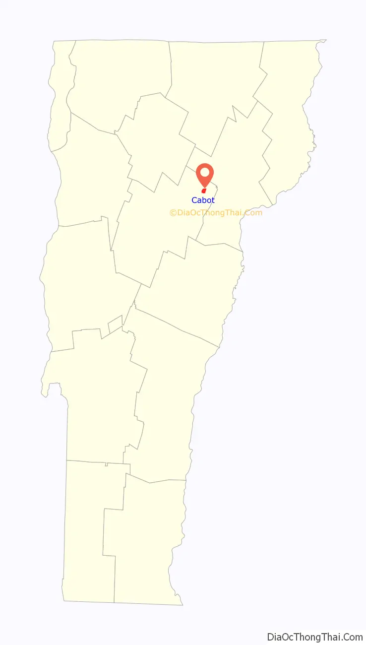
Cabot location map. Where is Cabot CDP?
History
The town was named by settler Lyman Hitchcock after his wife, Sophia Cabot (no relation to Venetian explorers John and Sebastian Cabot). Lyman Hitchcock became in 1788 the first town clerk of Cabot.
By actual count, three hundred men from Cabot were eligible to serve during the Civil War. One hundred forty-five (48%) volunteered. Most served in units mustering in St. Johnsbury: the 16th, 3rd and 4th Vermont Regiments. Forty-five were killed, for a fatality rate of 31%. Furthermore, it is likely that most of the rest suffered non-fatal casualties. Seventeen of these dead are honored by name on a war monument which stands in town; the others were not known to those who erected the monument.
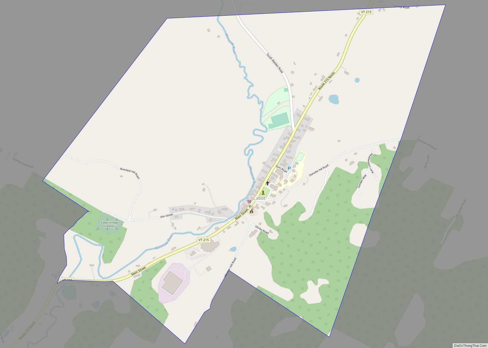
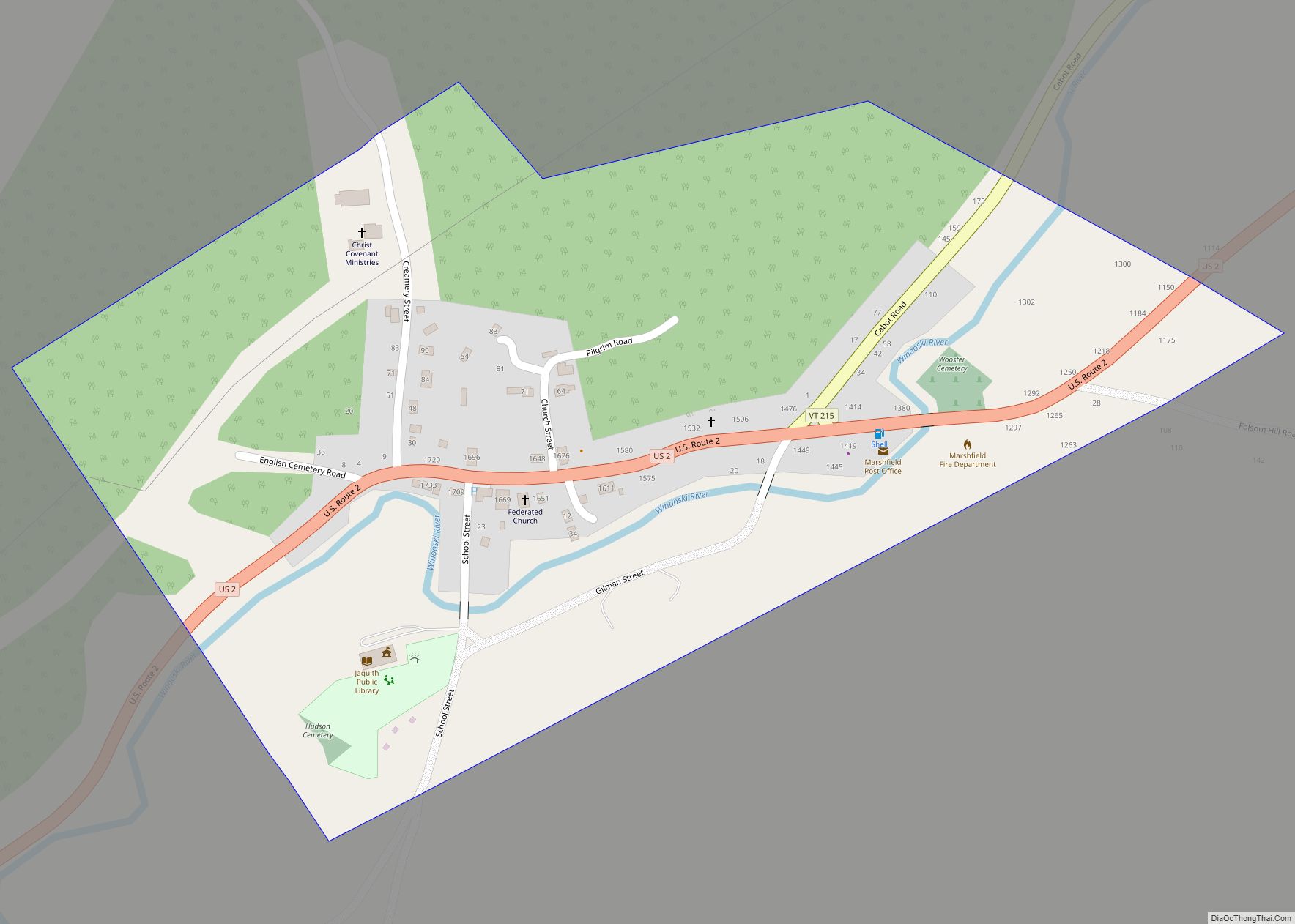
Cabot Road Map
Cabot city Satellite Map
See also
Map of Vermont State and its subdivision: Map of other states:- Alabama
- Alaska
- Arizona
- Arkansas
- California
- Colorado
- Connecticut
- Delaware
- District of Columbia
- Florida
- Georgia
- Hawaii
- Idaho
- Illinois
- Indiana
- Iowa
- Kansas
- Kentucky
- Louisiana
- Maine
- Maryland
- Massachusetts
- Michigan
- Minnesota
- Mississippi
- Missouri
- Montana
- Nebraska
- Nevada
- New Hampshire
- New Jersey
- New Mexico
- New York
- North Carolina
- North Dakota
- Ohio
- Oklahoma
- Oregon
- Pennsylvania
- Rhode Island
- South Carolina
- South Dakota
- Tennessee
- Texas
- Utah
- Vermont
- Virginia
- Washington
- West Virginia
- Wisconsin
- Wyoming

