Canaan is a census-designated place comprising the main settlement in the town of Canaan, Essex County, Vermont, United States. As of the 2010 census, it had a population of 392, out of a total town population of 972.
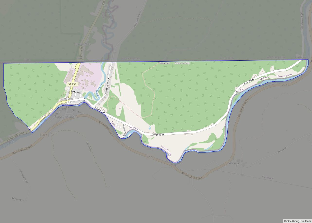
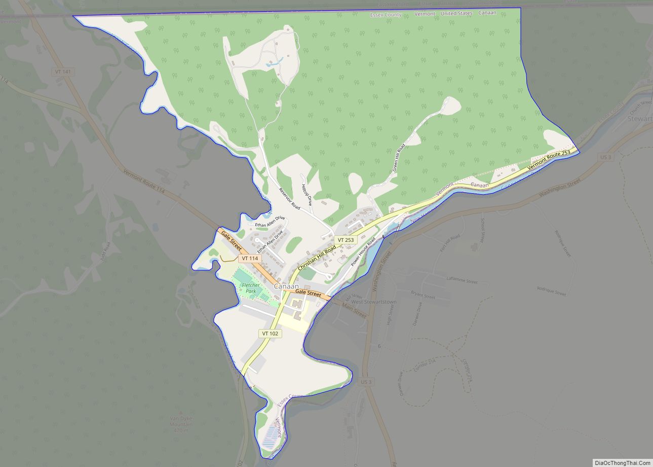
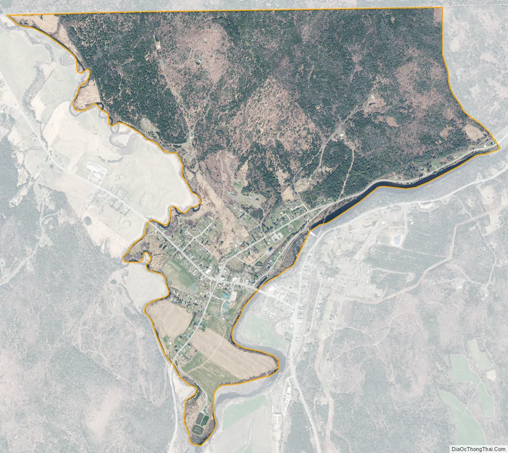
The Canaan CDP is in the northeast part of the town of Canaan and is bordered by Leach Creek to the west, the Connecticut River to the southeast, the community of Beecher Falls, Vermont, to the east, and the Canadian province of Quebec to the north. The community of West Stewartstown, New Hampshire, is to the southeast, across the Connecticut River. Beecher Falls to the east is the northeasternmost community in Vermont.
The Canaan CDP has a total area of 1.6 square miles (4.2 km), of which 1.6 square miles (4.1 km) is land and 0.046 square miles (0.12 km), or 2.87%, is water.
| Name: | Canaan CDP |
|---|---|
| LSAD Code: | 57 |
| LSAD Description: | CDP (suffix) |
| State: | Vermont |
| County: | Essex County |
| Elevation: | 1,043 ft (318 m) |
| Total Area: | 1.63 sq mi (4.22 km²) |
| Land Area: | 1.58 sq mi (4.10 km²) |
| Water Area: | 0.05 sq mi (0.12 km²) |
| Total Population: | 392 |
| Population Density: | 248/sq mi (95.6/km²) |
| ZIP code: | 05901, 05903 |
| Area code: | 802 |
| FIPS code: | 5011725 |
| GNISfeature ID: | 1456760 |
Online Interactive Map
Click on ![]() to view map in "full screen" mode.
to view map in "full screen" mode.
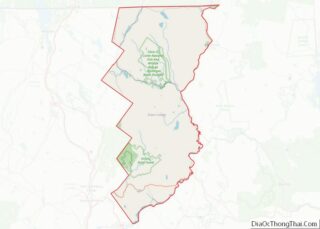
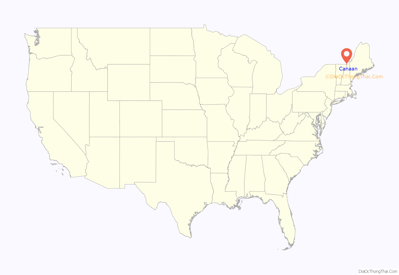
Canaan location map. Where is Canaan CDP?
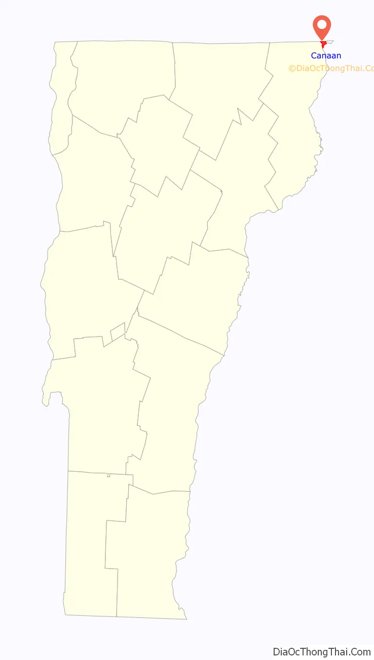
Canaan Road Map
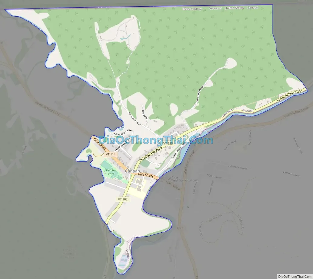
Canaan city Satellite Map
See also
Map of Vermont State and its subdivision: Map of other states:- Alabama
- Alaska
- Arizona
- Arkansas
- California
- Colorado
- Connecticut
- Delaware
- District of Columbia
- Florida
- Georgia
- Hawaii
- Idaho
- Illinois
- Indiana
- Iowa
- Kansas
- Kentucky
- Louisiana
- Maine
- Maryland
- Massachusetts
- Michigan
- Minnesota
- Mississippi
- Missouri
- Montana
- Nebraska
- Nevada
- New Hampshire
- New Jersey
- New Mexico
- New York
- North Carolina
- North Dakota
- Ohio
- Oklahoma
- Oregon
- Pennsylvania
- Rhode Island
- South Carolina
- South Dakota
- Tennessee
- Texas
- Utah
- Vermont
- Virginia
- Washington
- West Virginia
- Wisconsin
- Wyoming