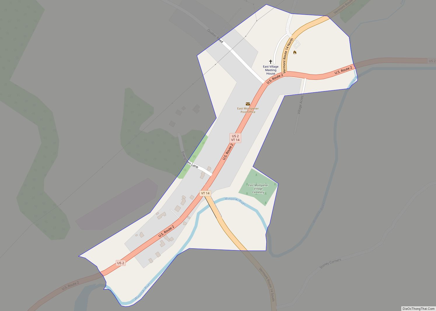
East Montpelier is a census-designated place (CDP) comprising the central village of the town of East Montpelier, Washington County, Vermont, United States. The population of the CDP was 80 at the 2010 census.
| Name: | East Montpelier CDP |
|---|---|
| LSAD Code: | 57 |
| LSAD Description: | CDP (suffix) |
| State: | Vermont |
| County: | Washington County |
| Elevation: | 728 ft (222 m) |
| Total Area: | 0.10 sq mi (0.25 km²) |
| Land Area: | 0.09 sq mi (0.24 km²) |
| Water Area: | 0.004 sq mi (0.01 km²) |
| Total Population: | 80 |
| Population Density: | 830/sq mi (320/km²) |
| Area code: | 802 |
| FIPS code: | 5021850 |
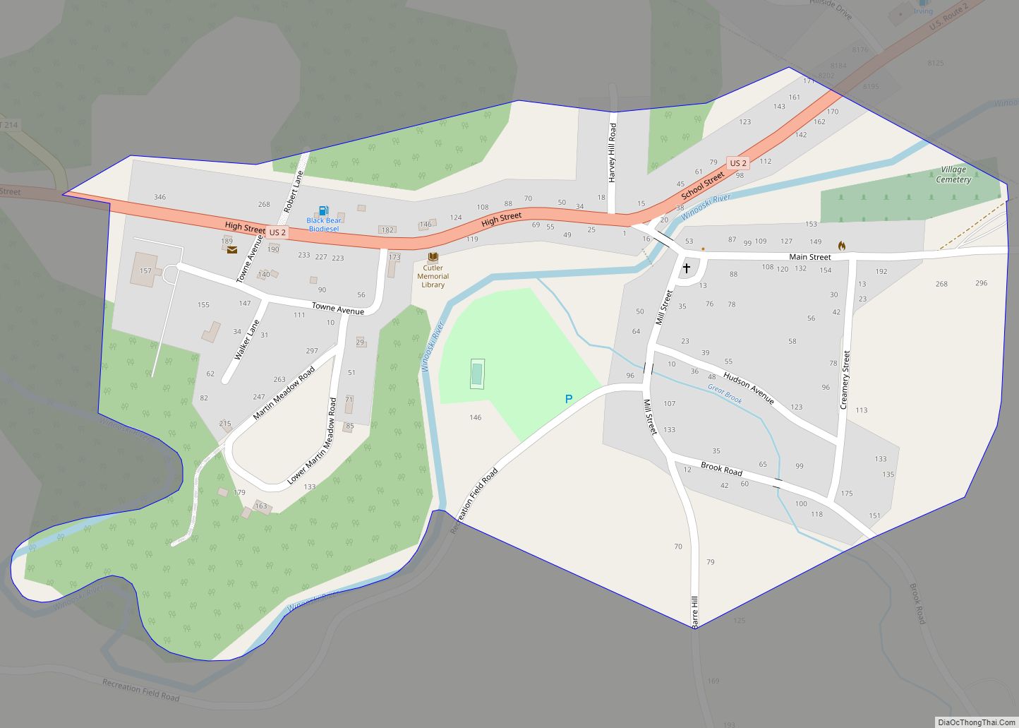
Online Interactive Map
Click on ![]() to view map in "full screen" mode.
to view map in "full screen" mode.
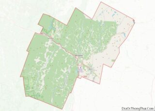
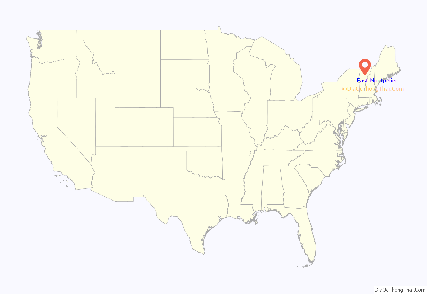
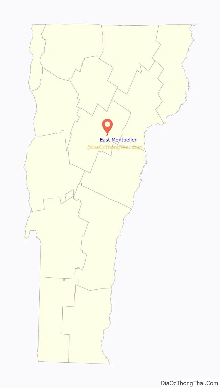
East Montpelier location map. Where is East Montpelier CDP?
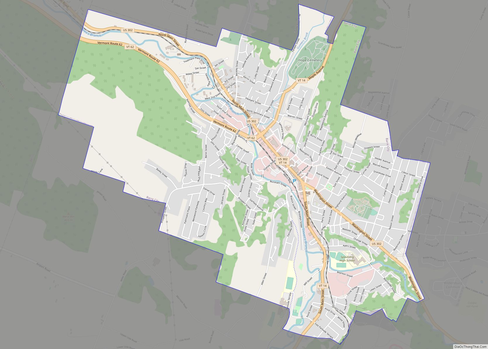
East Montpelier Road Map
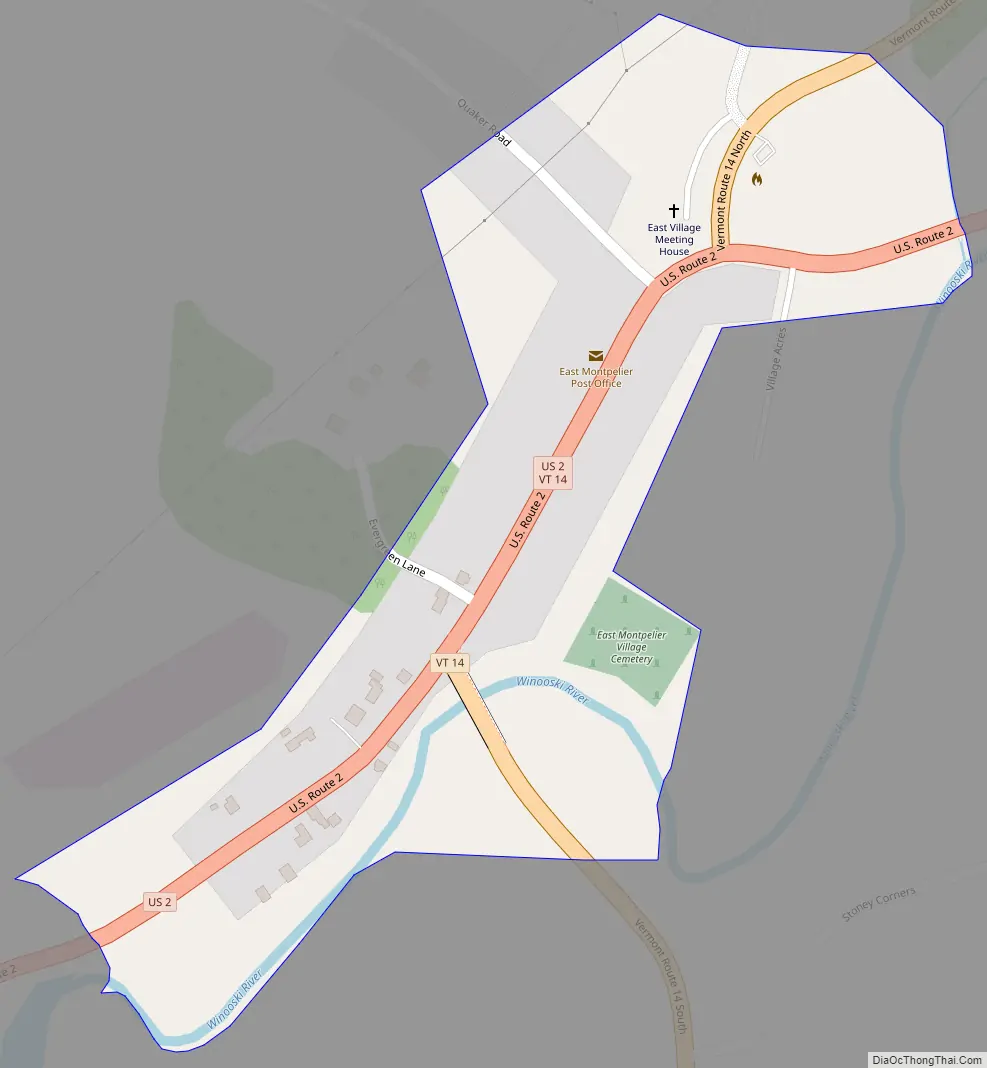
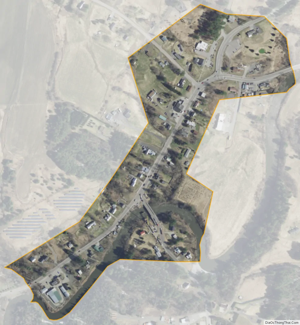
East Montpelier city Satellite Map
Geography
According to the United States Census Bureau, the East Montpelier CDP has a total area of 0.097 square miles (0.25 km), of which 0.093 square miles (0.24 km) is land and 0.004 square miles (0.01 km), or 5.21%, is water. East Montpelier is located along U.S. Route 2, 7 miles (11 km) east of the center of Montpelier, the state capital, and 31 miles (50 km) west of St. Johnsbury. Vermont Route 14 also passes through the village, leading north to Hardwick and south to Barre.
East Montpelier is located on the north bank of the Winooski River.
See also
Map of Vermont State and its subdivision: Map of other states:- Alabama
- Alaska
- Arizona
- Arkansas
- California
- Colorado
- Connecticut
- Delaware
- District of Columbia
- Florida
- Georgia
- Hawaii
- Idaho
- Illinois
- Indiana
- Iowa
- Kansas
- Kentucky
- Louisiana
- Maine
- Maryland
- Massachusetts
- Michigan
- Minnesota
- Mississippi
- Missouri
- Montana
- Nebraska
- Nevada
- New Hampshire
- New Jersey
- New Mexico
- New York
- North Carolina
- North Dakota
- Ohio
- Oklahoma
- Oregon
- Pennsylvania
- Rhode Island
- South Carolina
- South Dakota
- Tennessee
- Texas
- Utah
- Vermont
- Virginia
- Washington
- West Virginia
- Wisconsin
- Wyoming