Fairfax is a town in Franklin County, Vermont, United States. The population was 5,014 at the 2020 census.
| Name: | Fairfax CDP |
|---|---|
| LSAD Code: | 57 |
| LSAD Description: | CDP (suffix) |
| State: | Vermont |
| County: | Franklin County |
| Elevation: | 659 ft (201 m) |
| Total Area: | 40.4 sq mi (104.7 km²) |
| Land Area: | 39.8 sq mi (103.2 km²) |
| Water Area: | 0.6 sq mi (1.5 km²) |
| Total Population: | 5,014 |
| Population Density: | 126/sq mi (48.6/km²) |
| ZIP code: | 05454 |
| Area code: | 802 |
| FIPS code: | 5024850 |
| GNISfeature ID: | 1462092 |
| Website: | www.fairfax-vt.gov |
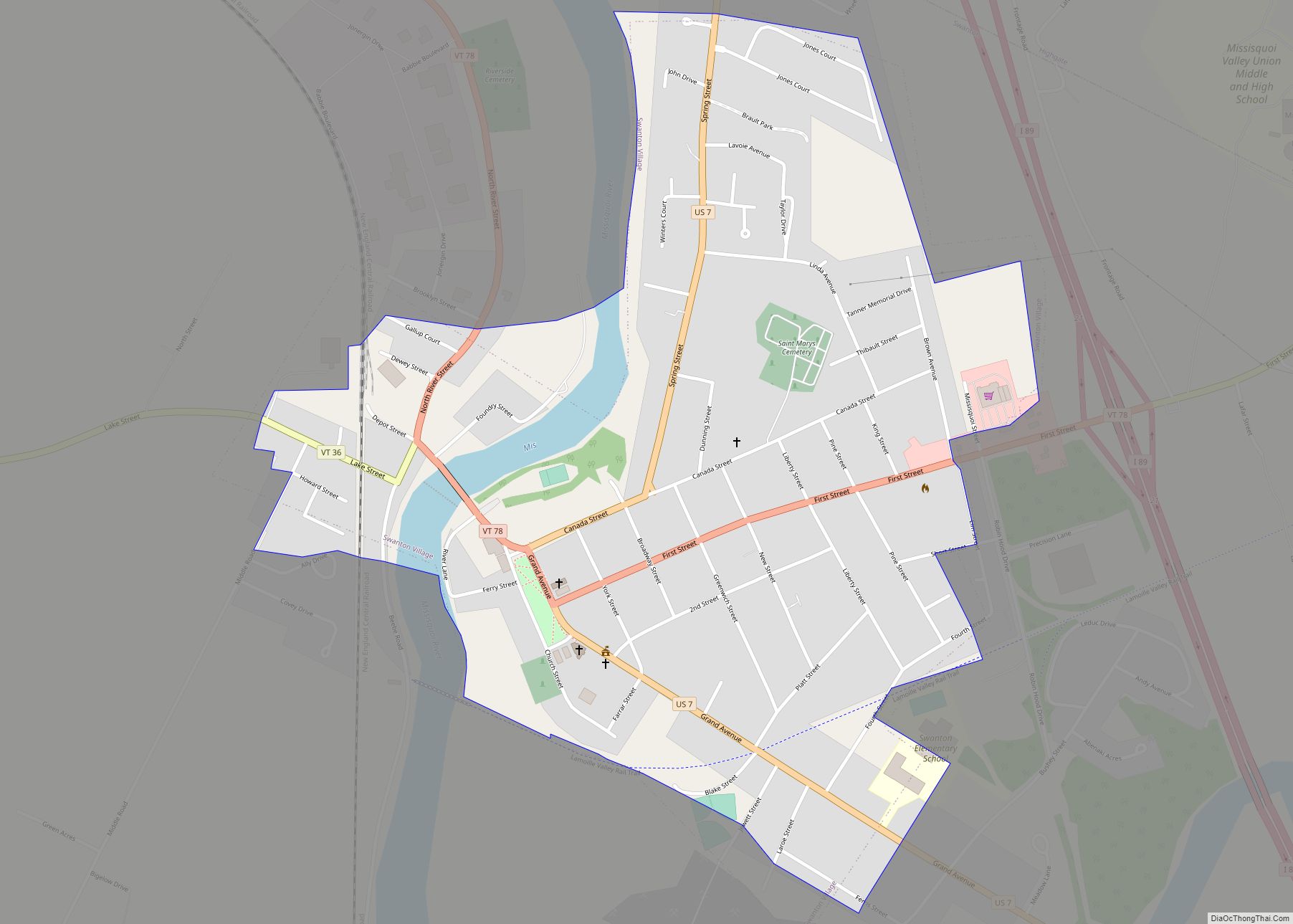
Online Interactive Map
Click on ![]() to view map in "full screen" mode.
to view map in "full screen" mode.
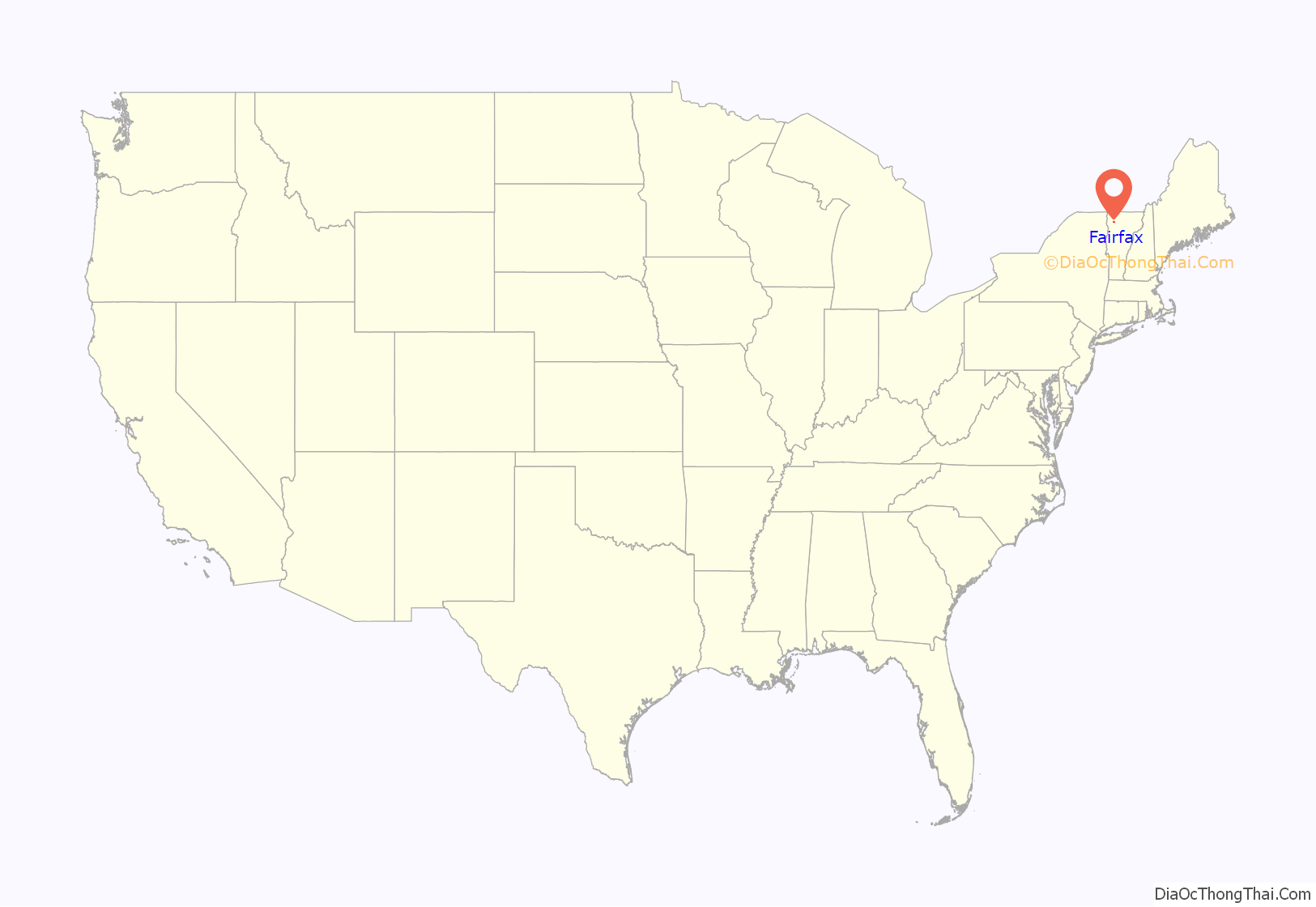
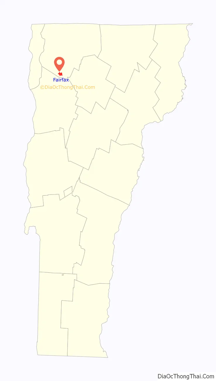
Fairfax location map. Where is Fairfax CDP?
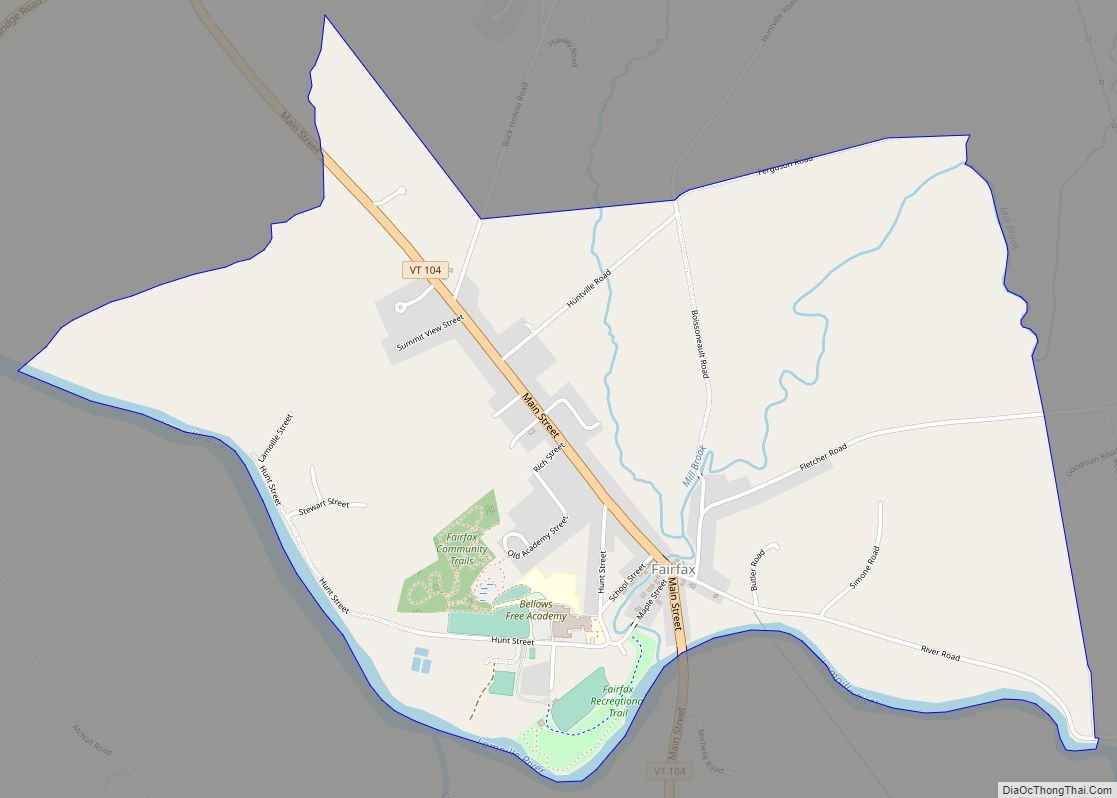
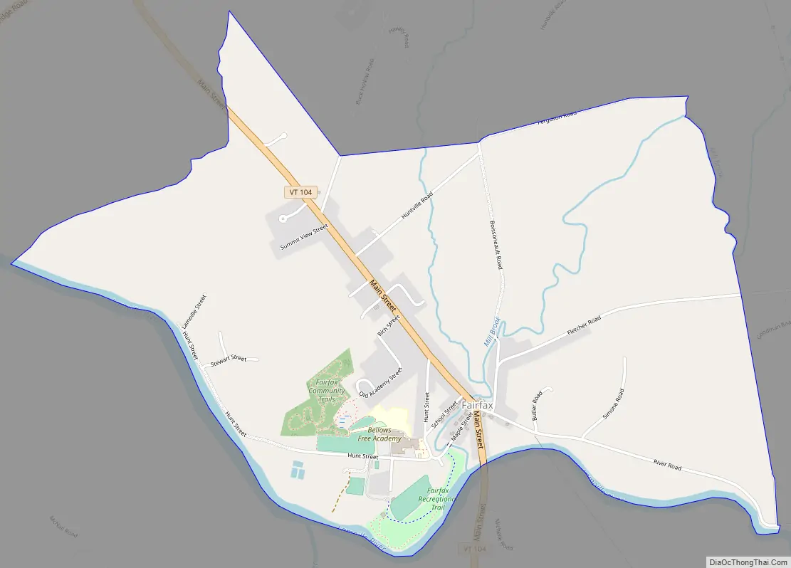
Fairfax Road Map
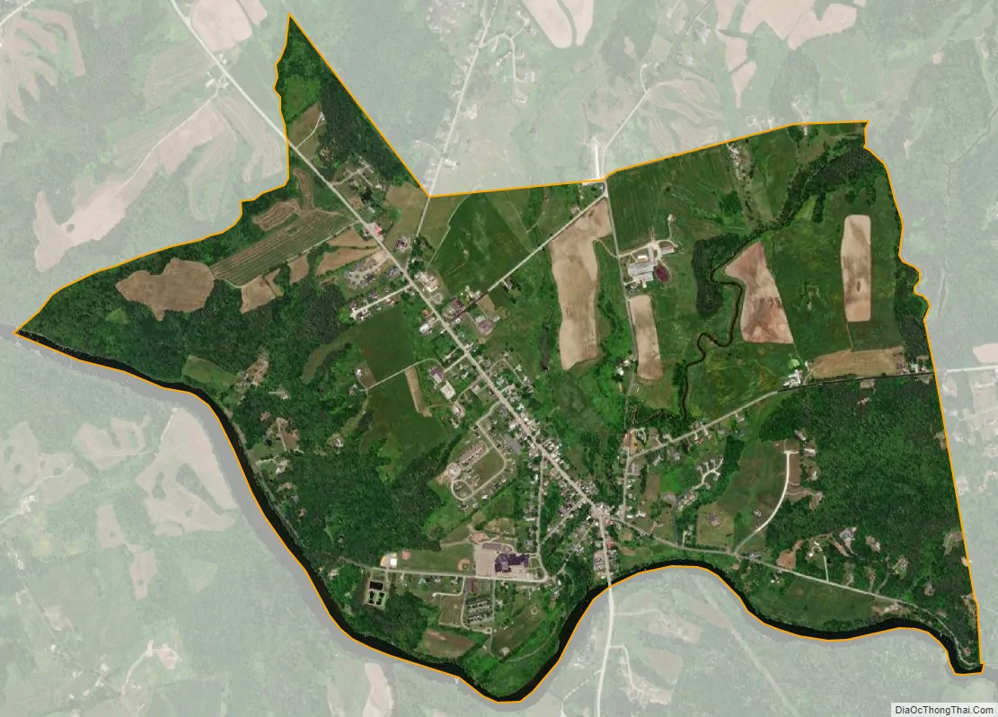
Fairfax city Satellite Map
Geography
The New England town of Fairfax is in southern Franklin County and is bordered by Chittenden County to the south. According to the United States Census Bureau, the town has a total area of 40.4 square miles (104.7 km), of which 39.8 square miles (103.2 km) is land and 0.58 square miles (1.5 km), or 1.44%, is water. The Lamoille River, a tributary of Lake Champlain, flows from east to west across the southern part of the town, passing through the communities of Fairfax and Fairfax Falls.
See also
Map of Vermont State and its subdivision: Map of other states:- Alabama
- Alaska
- Arizona
- Arkansas
- California
- Colorado
- Connecticut
- Delaware
- District of Columbia
- Florida
- Georgia
- Hawaii
- Idaho
- Illinois
- Indiana
- Iowa
- Kansas
- Kentucky
- Louisiana
- Maine
- Maryland
- Massachusetts
- Michigan
- Minnesota
- Mississippi
- Missouri
- Montana
- Nebraska
- Nevada
- New Hampshire
- New Jersey
- New Mexico
- New York
- North Carolina
- North Dakota
- Ohio
- Oklahoma
- Oregon
- Pennsylvania
- Rhode Island
- South Carolina
- South Dakota
- Tennessee
- Texas
- Utah
- Vermont
- Virginia
- Washington
- West Virginia
- Wisconsin
- Wyoming