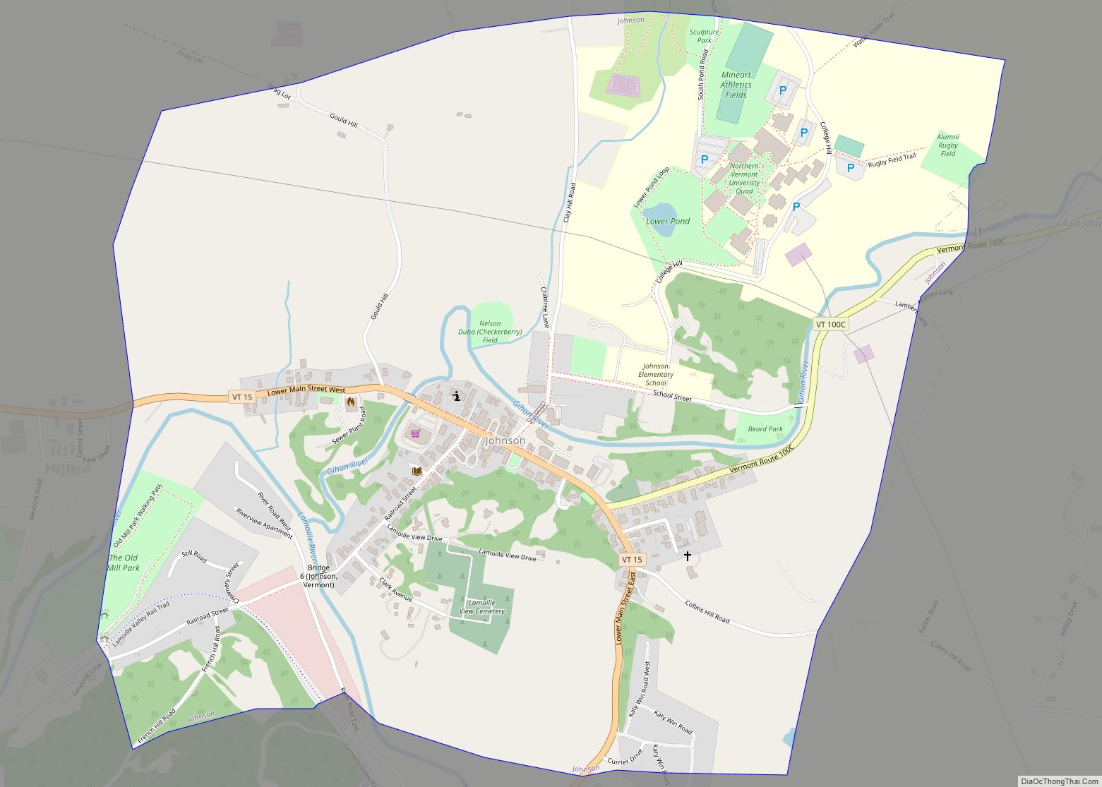
Johnson is a town in Lamoille County, Vermont, United States. The population was 3,491 at the 2020 census. The town is home to Northern Vermont University-Johnson, a part the Vermont State Colleges system. The Vermont Studio Center is located in the village of Johnson.
| Name: | Johnson village |
|---|---|
| LSAD Code: | 47 |
| LSAD Description: | village (suffix) |
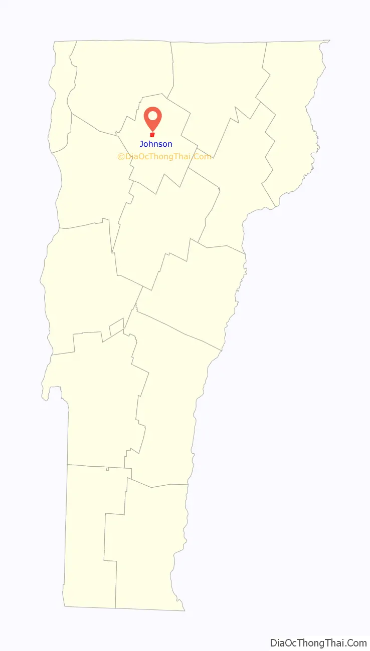
| State: | Vermont |
| County: | Lamoille County |
| Total Area: | 45.1 sq mi (116.8 km²) |
| Land Area: | 44.7 sq mi (115.8 km²) |
| Water Area: | 0.4 sq mi (1.0 km²) 0.84% |
| Total Population: | 3,491 |
| Population Density: | 78/sq mi (30.1/km²) |
| ZIP code: | 05656 |
| Area code: | 802 |
| FIPS code: | 5037000 |
| GNISfeature ID: | 1462129 |
| Website: | www.townofjohnson.com |
Online Interactive Map
Click on ![]() to view map in "full screen" mode.
to view map in "full screen" mode.
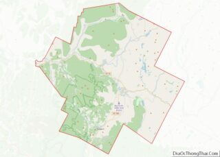
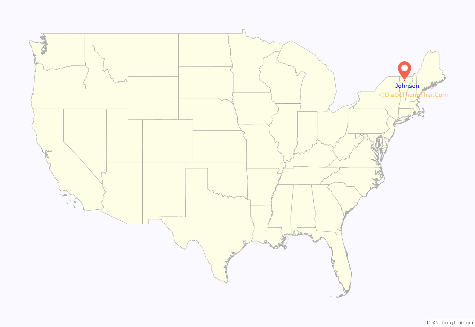
Johnson location map. Where is Johnson village?
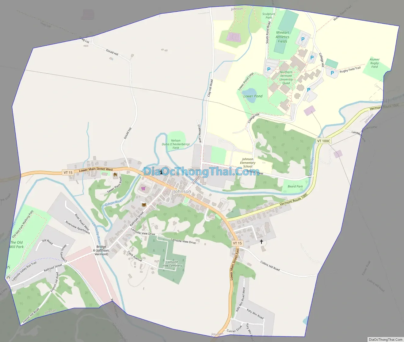
Johnson Road Map
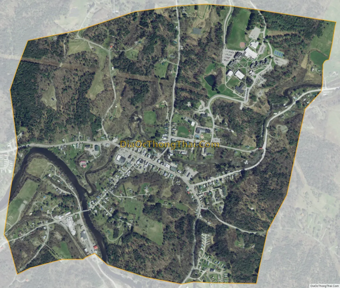
Johnson city Satellite Map
Geography
Johnson is in the center of Lamoille County, in the valley of the Lamoille River, with the Green Mountains rising to the north and the south of the river. The village of Johnson is in the center of the town, where the Gihon River joins the Lamoille from the northeast. Vermont Route 15 crosses the center of the town, following the Lamoille River; the highway leads southeast 5 miles (8 km) to Hyde Park, the Lamoille County shire town, and west 9 miles (14 km) to Jeffersonville in the town of Cambridge. Vermont Route 100C leads northeast from Johnson village 4.5 miles (7.2 km) to Vermont Route 100 in North Hyde Park.
According to the United States Census Bureau, the town of Johnson has a total area of 45.1 square miles (116.8 km), of which 0.4 square miles (1.0 km), or 0.84%, are water.
See also
Map of Vermont State and its subdivision: Map of other states:- Alabama
- Alaska
- Arizona
- Arkansas
- California
- Colorado
- Connecticut
- Delaware
- District of Columbia
- Florida
- Georgia
- Hawaii
- Idaho
- Illinois
- Indiana
- Iowa
- Kansas
- Kentucky
- Louisiana
- Maine
- Maryland
- Massachusetts
- Michigan
- Minnesota
- Mississippi
- Missouri
- Montana
- Nebraska
- Nevada
- New Hampshire
- New Jersey
- New Mexico
- New York
- North Carolina
- North Dakota
- Ohio
- Oklahoma
- Oregon
- Pennsylvania
- Rhode Island
- South Carolina
- South Dakota
- Tennessee
- Texas
- Utah
- Vermont
- Virginia
- Washington
- West Virginia
- Wisconsin
- Wyoming