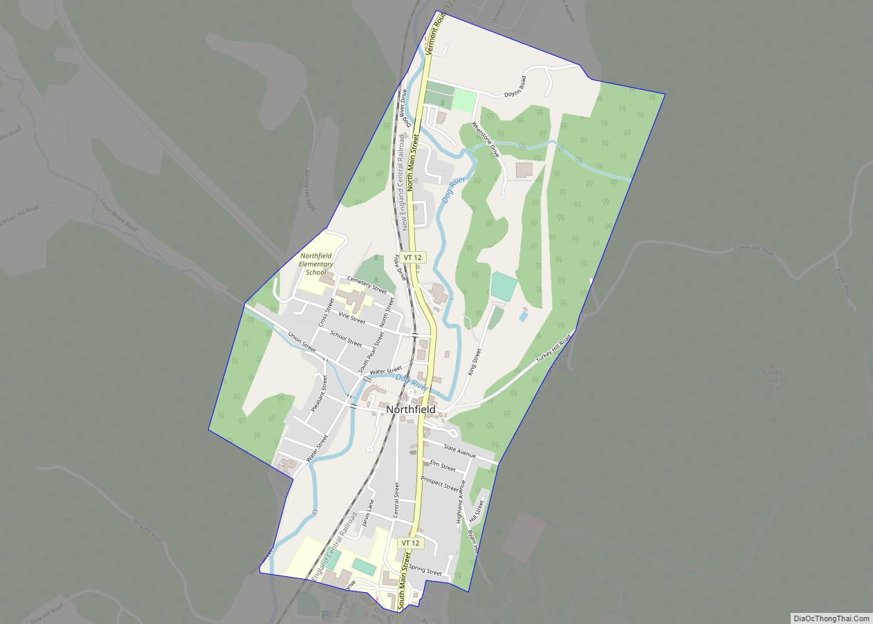
Northfield is a town in Washington County, Vermont, United States. The town lies in a valley within the Green Mountains and has been home to Norwich University since 1866. It contains the village of Northfield, where over half of the population lives. The town’s total population was 5,918 at the 2020 census.
| Name: | Northfield CDP |
|---|---|
| LSAD Code: | 57 |
| LSAD Description: | CDP (suffix) |
| State: | Vermont |
| County: | Washington County |
| Incorporated: | 1855 |
| Elevation: | 735 ft (441 m) |
| Total Area: | 43.6 sq mi (113.0 km²) |
| Land Area: | 43.5 sq mi (112.7 km²) |
| Water Area: | 0.1 sq mi (0.3 km²) |
| Total Population: | 5,918 |
| Population Density: | 140/sq mi (52/km²) |
| ZIP code: | 05663 |
| Area code: | 802 |
| FIPS code: | 5050200 |
| GNISfeature ID: | 1462163 |
| Website: | www.northfield-vt.gov |
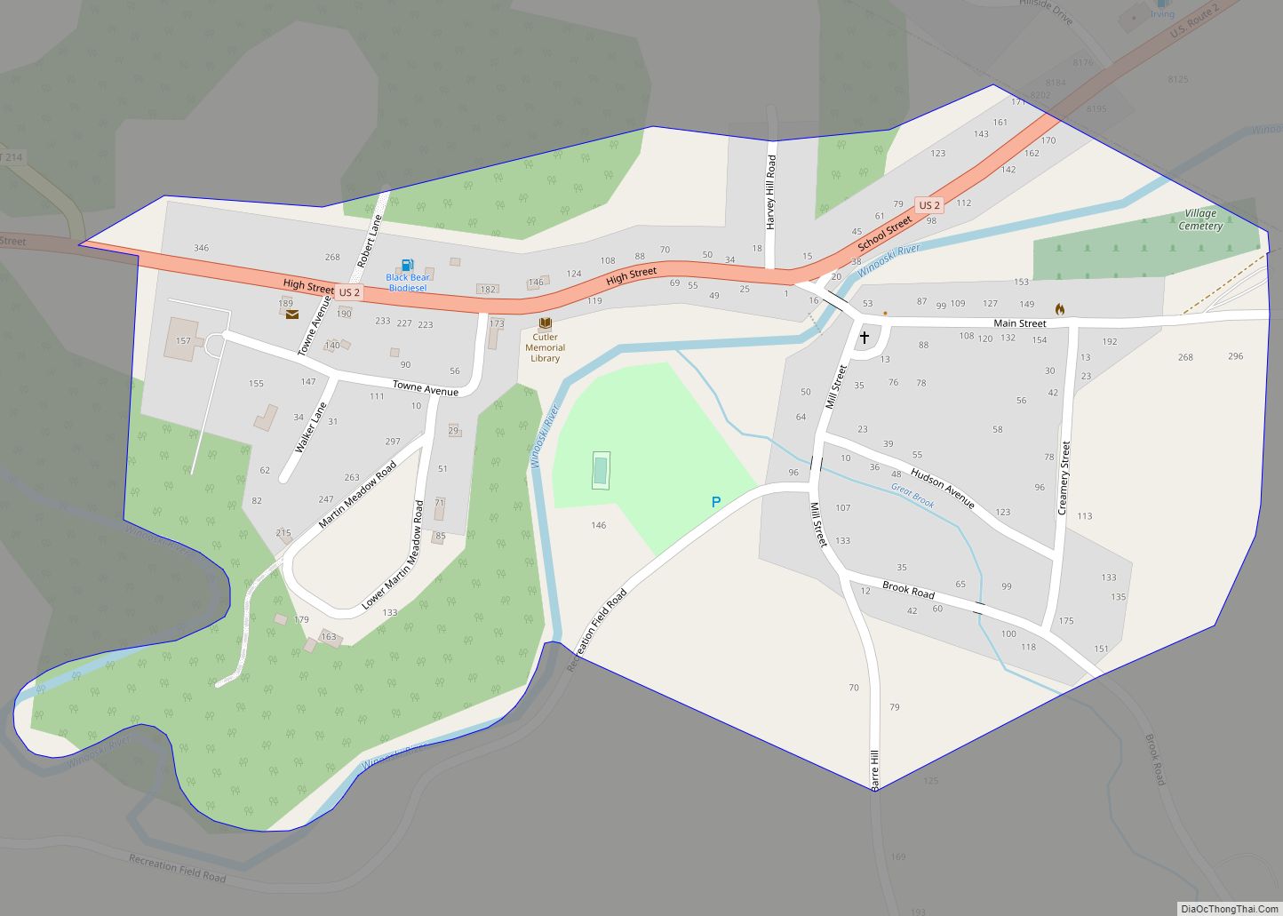
Online Interactive Map
Click on ![]() to view map in "full screen" mode.
to view map in "full screen" mode.
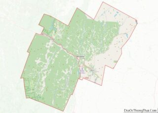
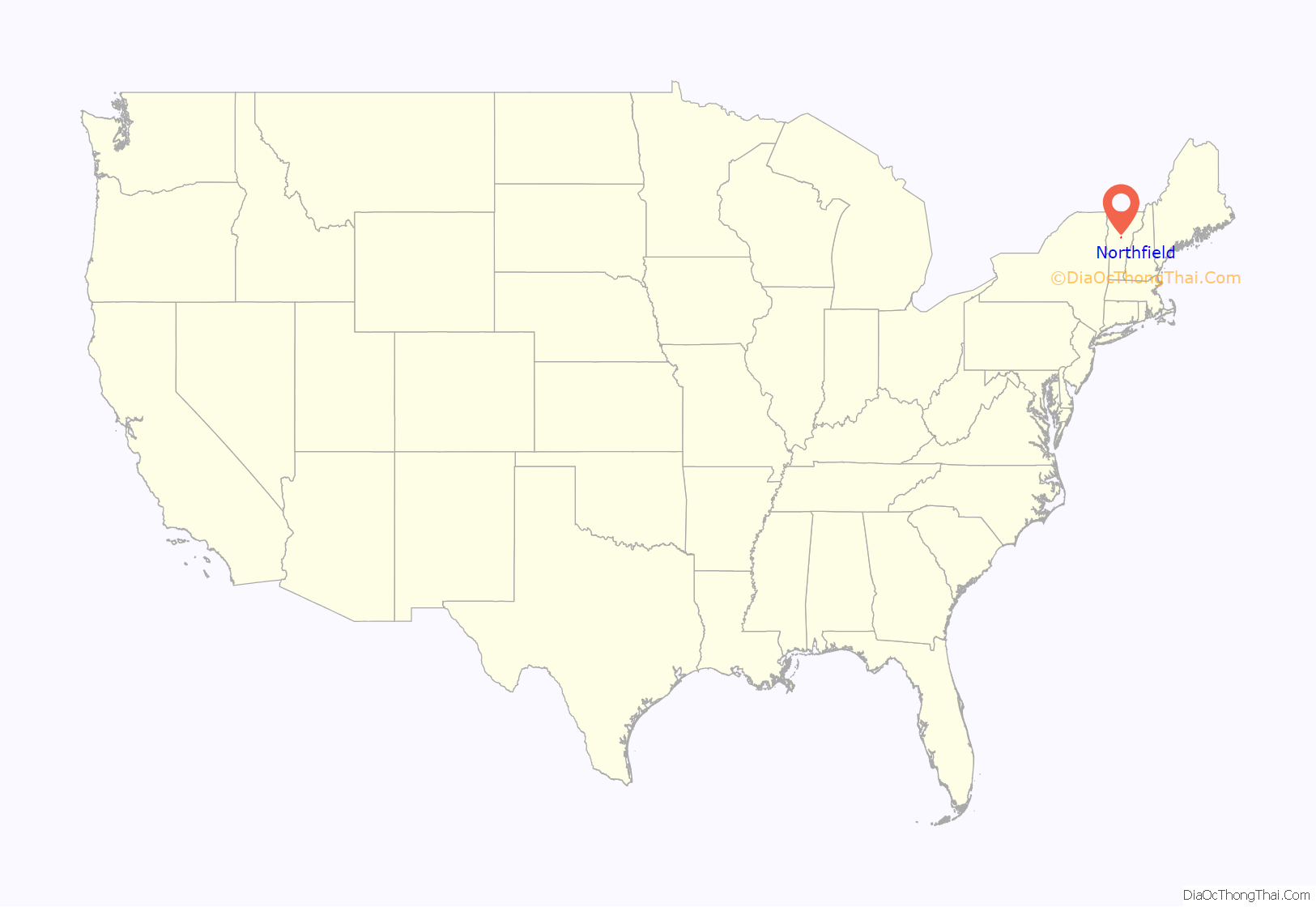
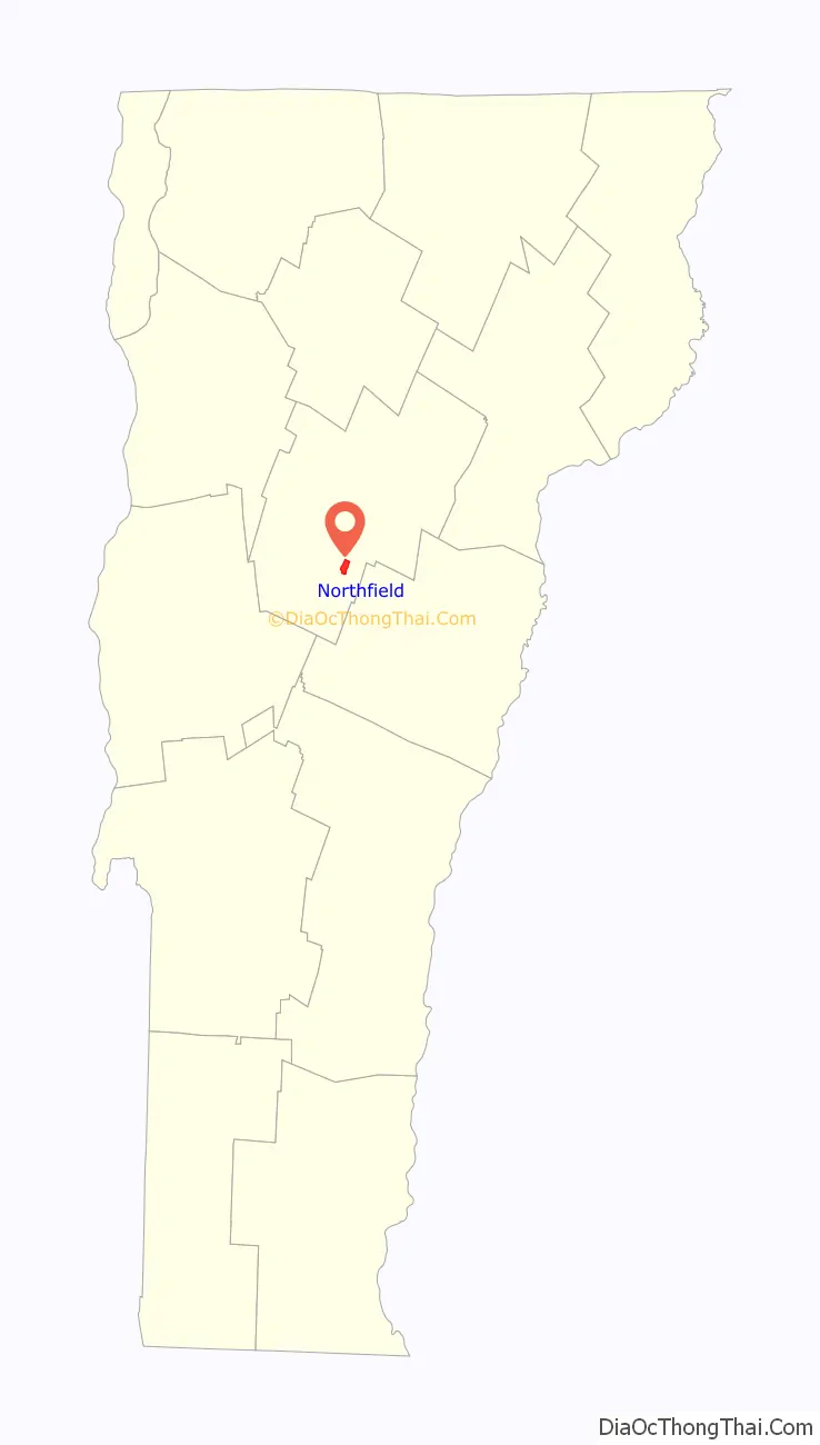
Northfield location map. Where is Northfield CDP?
History
Northfield was chartered in 1781, and incorporated in 1855. The community was named after Northfield, Massachusetts.
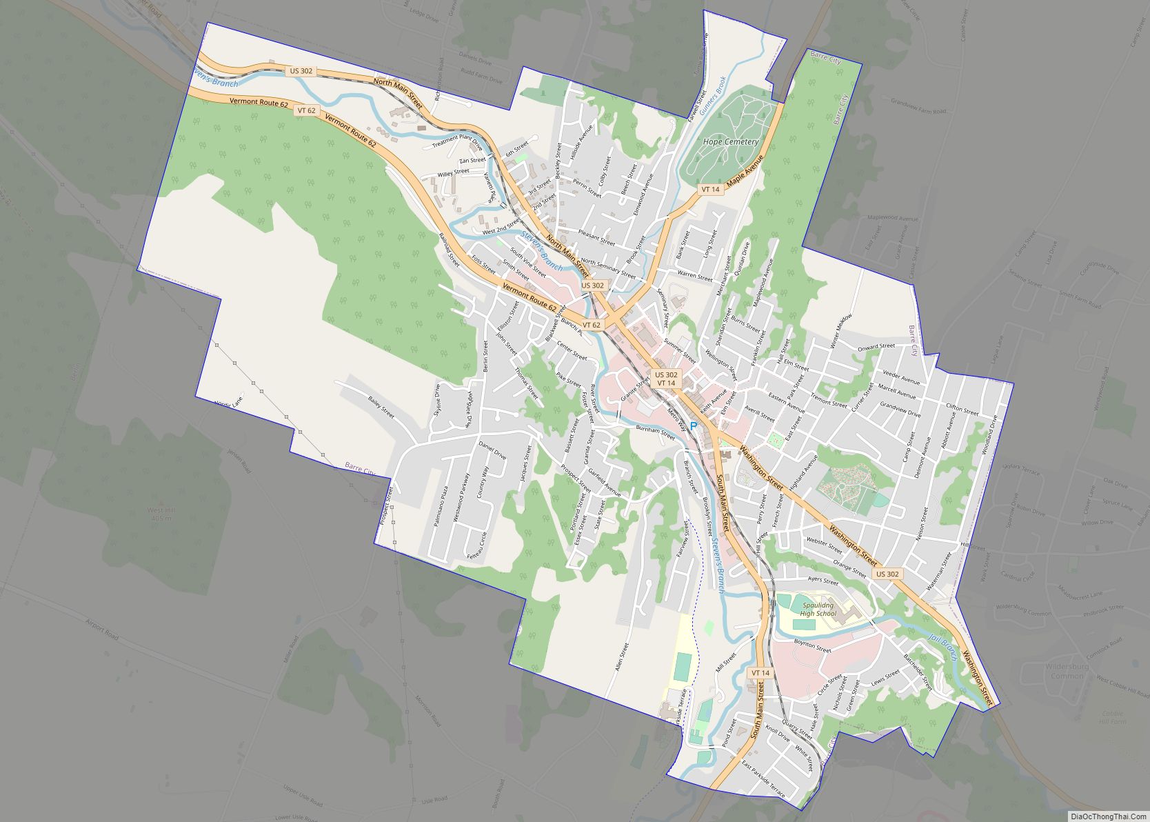
Northfield Road Map
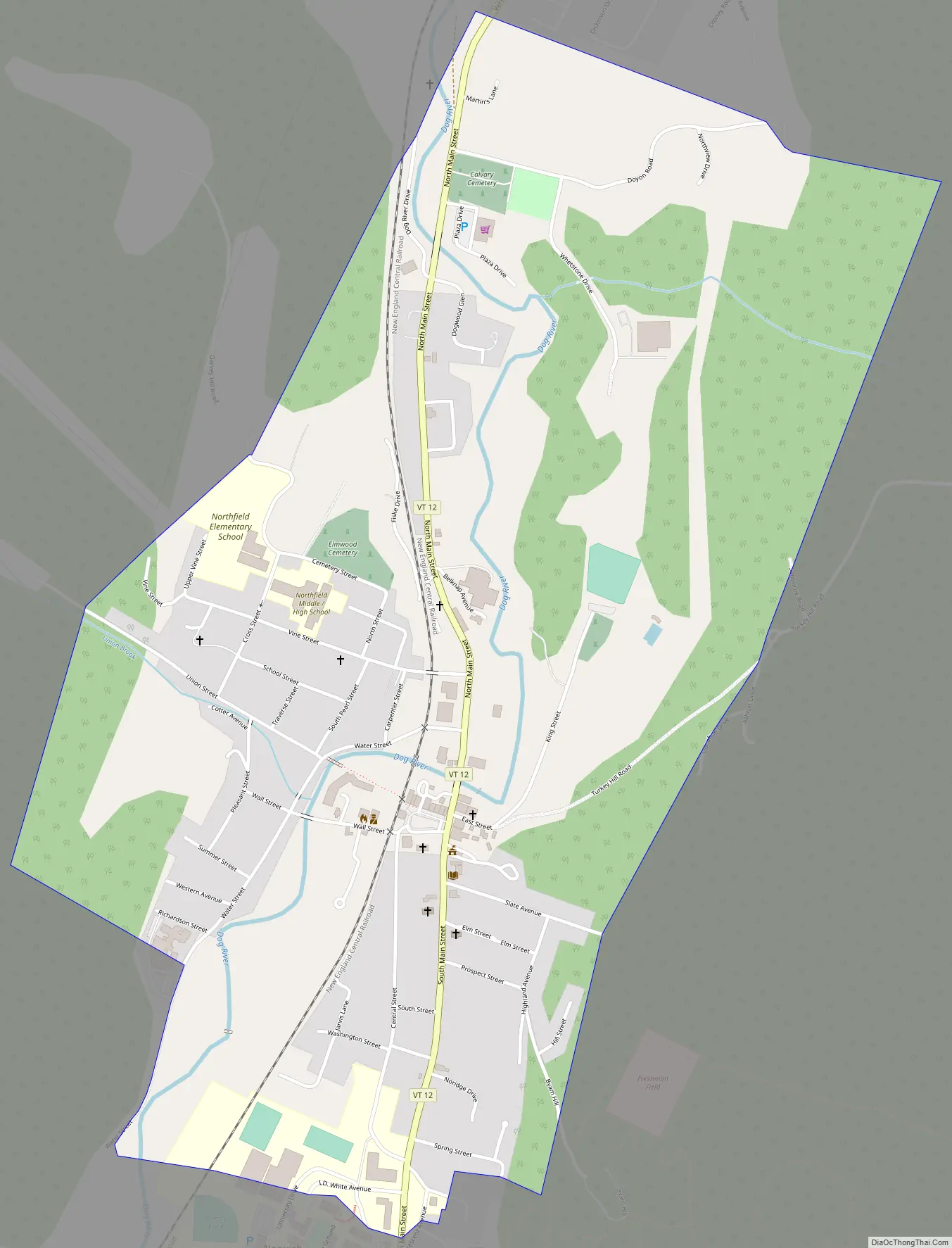
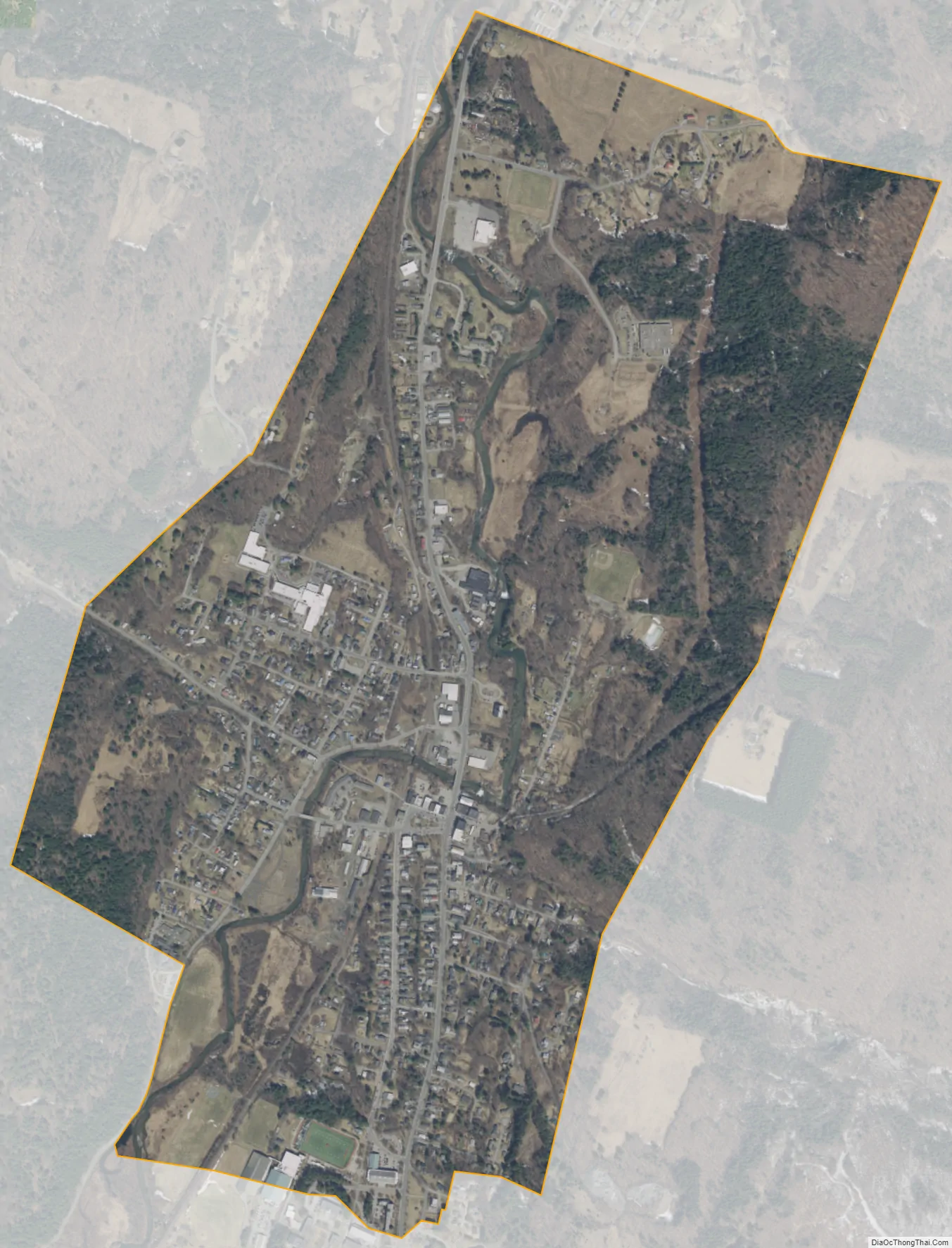
Northfield city Satellite Map
Geography
According to the United States Census Bureau, the town has a total area of 43.6 square miles (113.0 km), of which 43.5 square miles (112.7 km) is land and 0.12 square miles (0.3 km), or 0.29%, is water.
The geographic center of Vermont is located within the town, with markers on the university campus of the geographical and magnetic centers.
See also
Map of Vermont State and its subdivision: Map of other states:- Alabama
- Alaska
- Arizona
- Arkansas
- California
- Colorado
- Connecticut
- Delaware
- District of Columbia
- Florida
- Georgia
- Hawaii
- Idaho
- Illinois
- Indiana
- Iowa
- Kansas
- Kentucky
- Louisiana
- Maine
- Maryland
- Massachusetts
- Michigan
- Minnesota
- Mississippi
- Missouri
- Montana
- Nebraska
- Nevada
- New Hampshire
- New Jersey
- New Mexico
- New York
- North Carolina
- North Dakota
- Ohio
- Oklahoma
- Oregon
- Pennsylvania
- Rhode Island
- South Carolina
- South Dakota
- Tennessee
- Texas
- Utah
- Vermont
- Virginia
- Washington
- West Virginia
- Wisconsin
- Wyoming