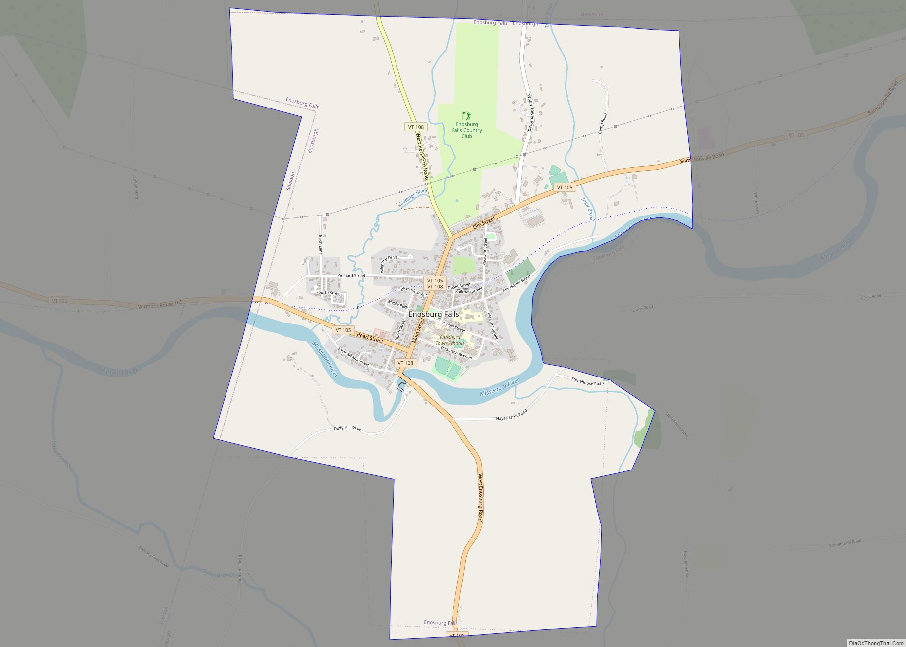
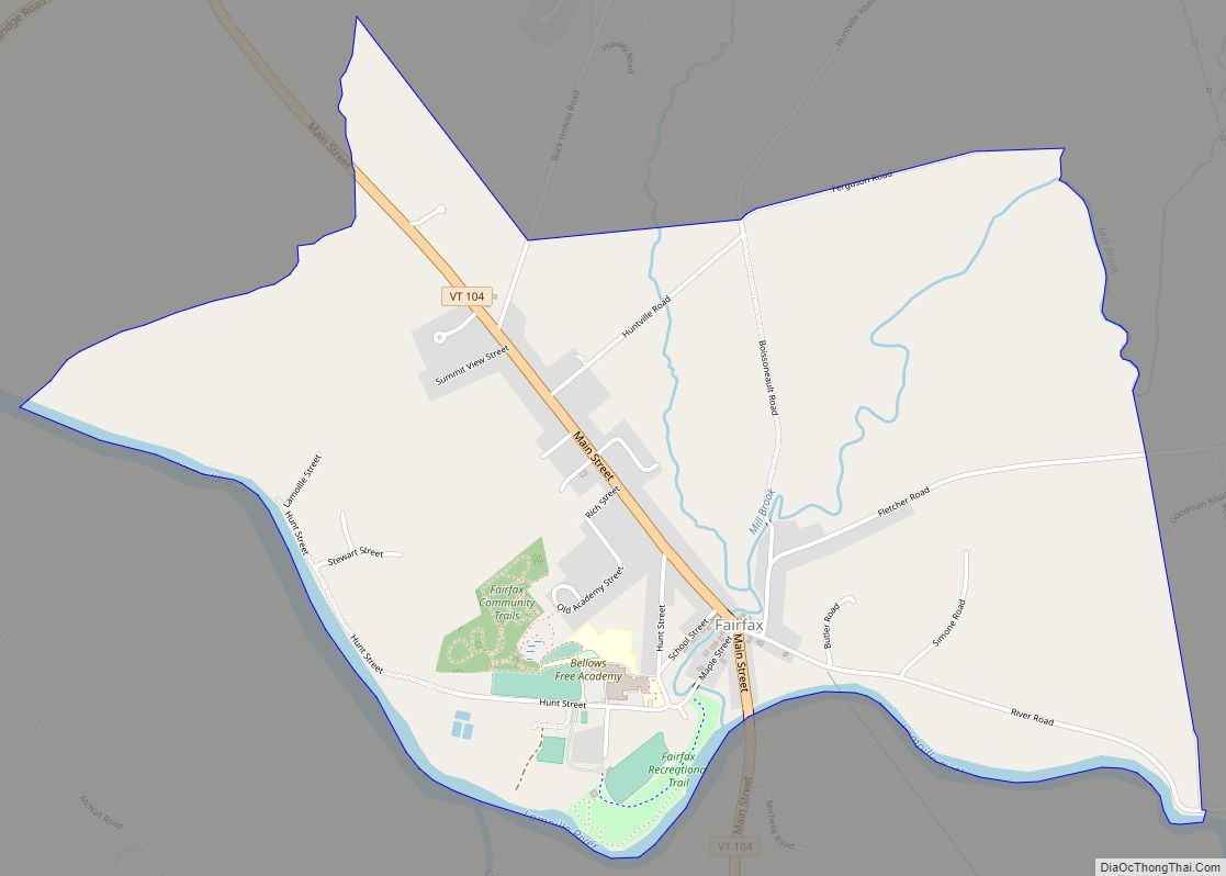
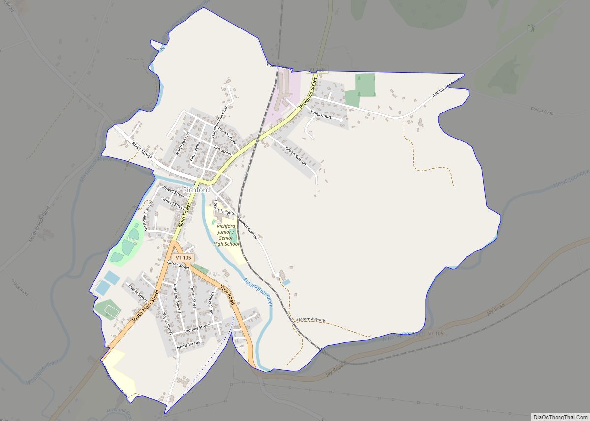
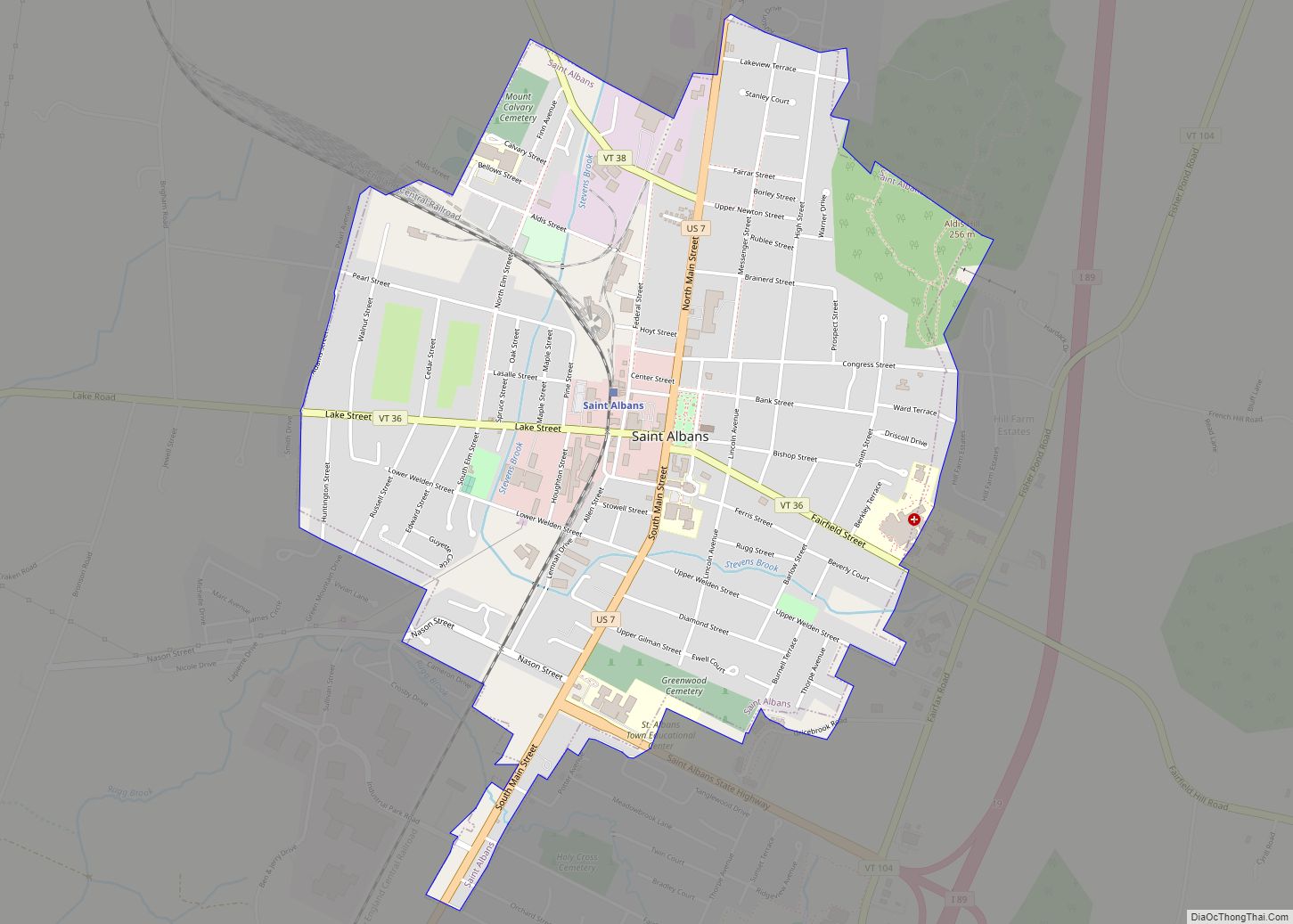
Saint Albans, commonly abbreviated as St. Albans, is a town in Franklin County, Vermont, United States. As of the 2020 census, the population was 6,988. The town completely surrounds St. Albans City, which is a separate municipality.
| Name: | St. Albans city |
|---|---|
| LSAD Code: | 25 |
| LSAD Description: | city (suffix) |
| State: | Vermont |
| County: | Franklin County |
| Elevation: | 100 ft (30 m) |
| Total Area: | 60.5 sq mi (156.8 km²) |
| Land Area: | 37.0 sq mi (95.9 km²) |
| Water Area: | 23.5 sq mi (60.9 km²) |
| Total Population: | 6,988 |
| Population Density: | 120/sq mi (45/km²) |
| ZIP code: | 05478 |
| Area code: | 802 |
| FIPS code: | 5061675 |
| GNISfeature ID: | 1462197 |
| Website: | www.stalbanstown.com |
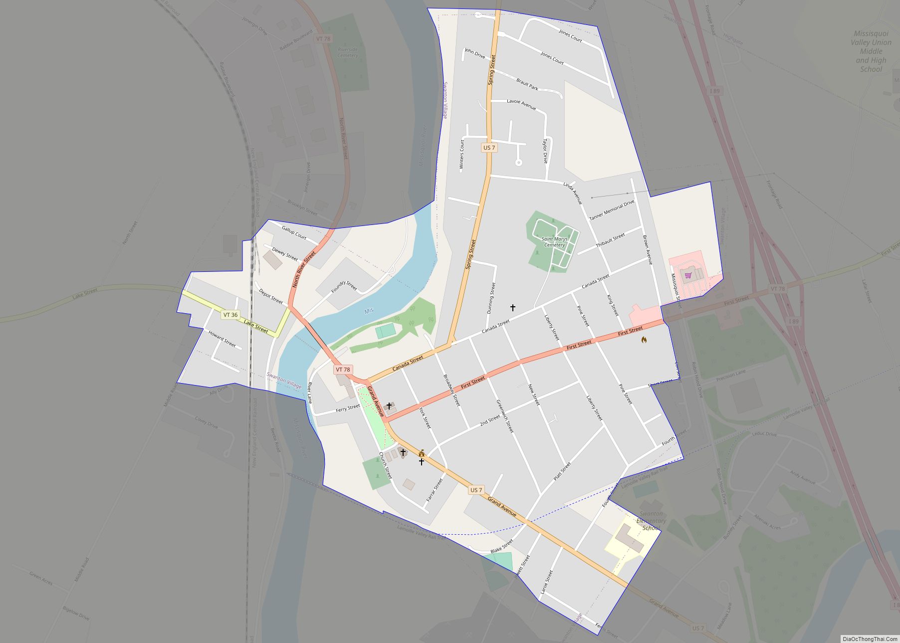
Online Interactive Map
Click on ![]() to view map in "full screen" mode.
to view map in "full screen" mode.
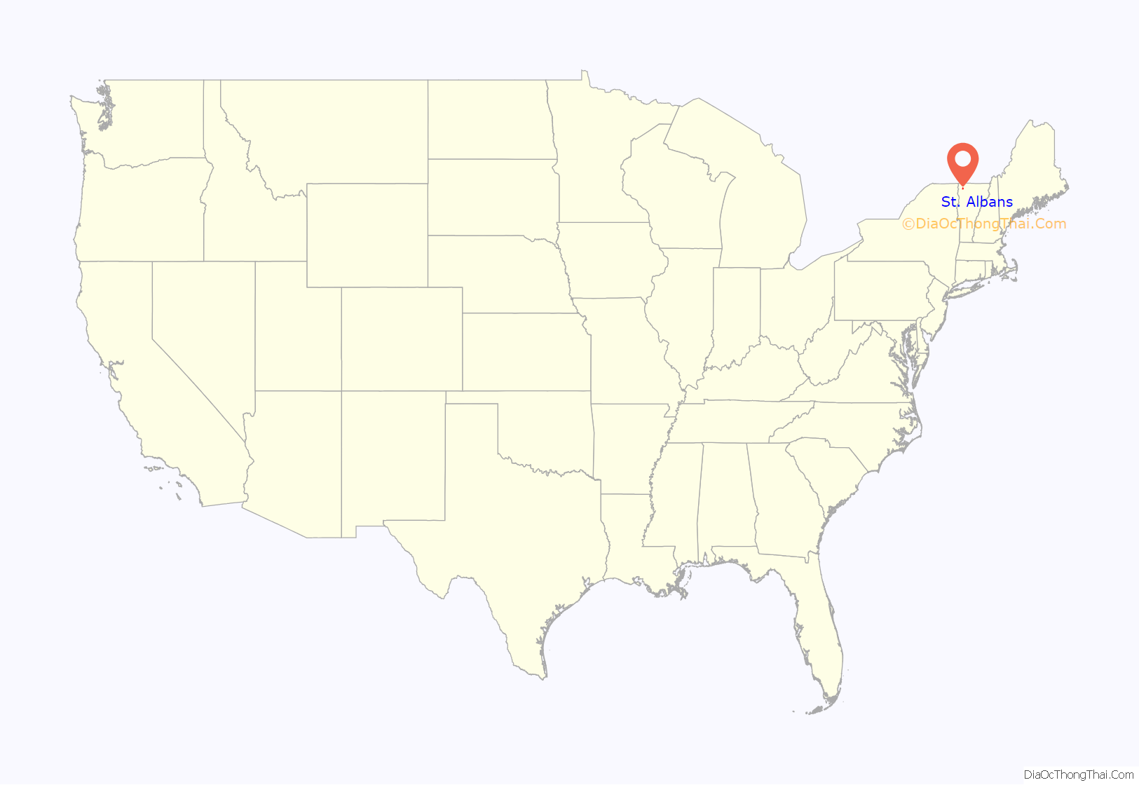
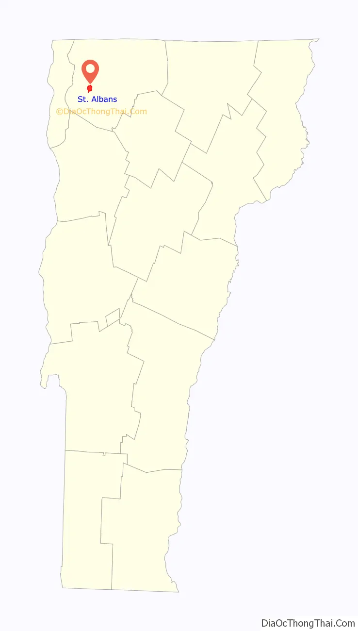
St. Albans location map. Where is St. Albans city?
History
The town was named for St Albans in England, which itself is named after the Early Christian British saint and protomartyr.
On October 19, 1864, St. Albans was the site of the St. Albans Raid, the northernmost Confederate land action of the American Civil War, which was an enemy cavalry raid and bank robbery from across the border with Quebec, Canada. The town of St. Albans and the city of St. Albans were separated in 1902. References to “St. Albans” prior to this date generally refer to the town center, which now belongs to the city. The town was incorporated in 1859, and the city in 1902.
Henri Le Caron, who, while acting as a secret agent of the British government, held the position of “Inspector-General of the Irish Republican Army”, asserted that he distributed fifteen thousand stands of arms and almost three million rounds of ammunition in the care of the many trusted men stationed between New York and St. Albans, in preparation for the unsuccessful Fenian raid on Canada which took place in April 1870. United States General George Meade, forewarned, captured much of these munitions as they arrived.
In the 1890s, the town had become the butter capital of the world, with 1,000 farms and 15,000 cows.
Amelia Earhart was said to have flown here May 22, 1934.
St. Albans Road Map
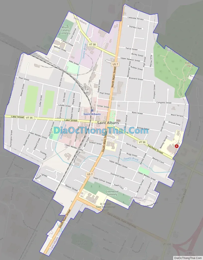
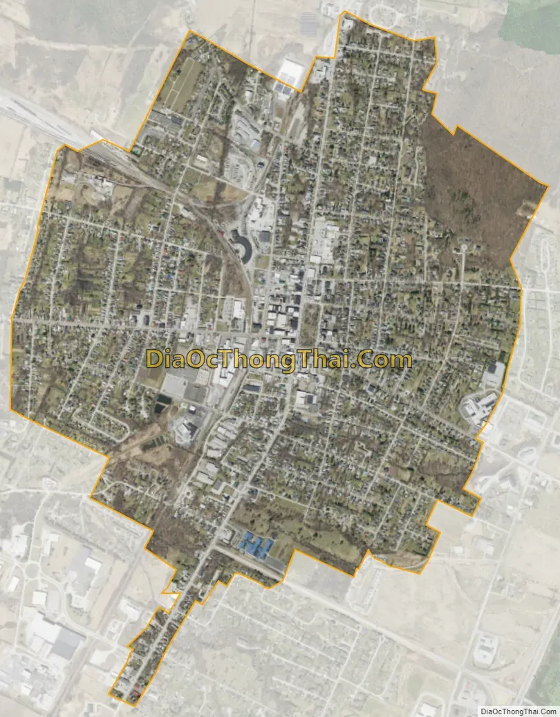
St. Albans city Satellite Map
Geography
The town is located in western Franklin County and extends west into Lake Champlain to the border with Grand Isle County. According to the United States Census Bureau, the town has a total area of 60.5 square miles (156.8 km), of which 37.0 square miles (95.9 km) is land and 23.5 square miles (60.9 km), or 38.84%, is water. The southwest part of the town fronts on St. Albans Bay, an arm of Lake Champlain. Woods Island, Burton Island, and Ball Island within the lake are all part of the town.
See also
Map of Vermont State and its subdivision: Map of other states:- Alabama
- Alaska
- Arizona
- Arkansas
- California
- Colorado
- Connecticut
- Delaware
- District of Columbia
- Florida
- Georgia
- Hawaii
- Idaho
- Illinois
- Indiana
- Iowa
- Kansas
- Kentucky
- Louisiana
- Maine
- Maryland
- Massachusetts
- Michigan
- Minnesota
- Mississippi
- Missouri
- Montana
- Nebraska
- Nevada
- New Hampshire
- New Jersey
- New Mexico
- New York
- North Carolina
- North Dakota
- Ohio
- Oklahoma
- Oregon
- Pennsylvania
- Rhode Island
- South Carolina
- South Dakota
- Tennessee
- Texas
- Utah
- Vermont
- Virginia
- Washington
- West Virginia
- Wisconsin
- Wyoming