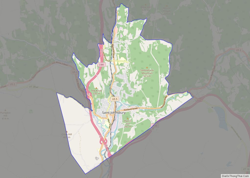
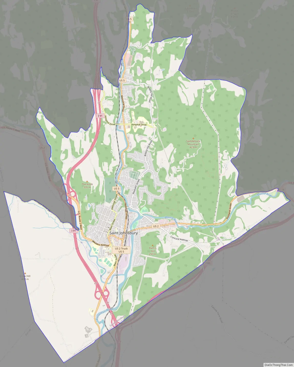
St. Johnsbury is a census-designated place (CDP) corresponding to the main settled areas in the town of St. Johnsbury, Caledonia County, Vermont, United States. As of the 2020 census it had a population of 5,994, out of 7,364 in the entire town.
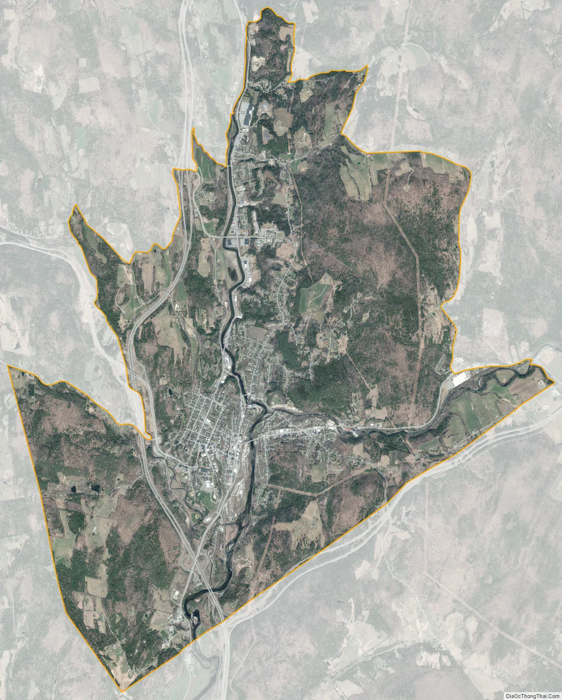
The CDP is in eastern Caledonia County, occupying the southern one-third of the town of St. Johnsbury. It includes the urban center of St. Johnsbury, the village of St. Johnsbury Center to the north up the valley of the Passumpsic River, and development along Route 2 to the east up the valley of the Moose River, but not as far as the village of East St. Johnsbury.
Interstate 91 passes through the west side of the CDP, with access from Exits 20, 21, and 22. I-91 leads north 42 miles (68 km) to Newport and south 59 miles (95 km) to White River. U.S. Routes 2 and 5 intersect in the center of the community. U.S. 2 leads west 35 miles (56 km) to Montpelier, the state capital, and east 28 miles (45 km) to Lancaster, New Hampshire, while U.S. 5 provides a local parallel route to I-91, leading north 8 miles (13 km) to Lyndonville and south 20 miles (32 km) to Wells River.
| Name: | St. Johnsbury CDP |
|---|---|
| LSAD Code: | 57 |
| LSAD Description: | CDP (suffix) |
| State: | Vermont |
| County: | Caledonia County |
| Elevation: | 600 ft (183 m) |
| Total Area: | 13.1 sq mi (33.8 km²) |
| Land Area: | 12.8 sq mi (33.2 km²) |
| Water Area: | 0.2 sq mi (0.6 km²) |
| ZIP code: | 05819 |
| Area code: | 802 |
| FIPS code: | 5062125 |
| GNISfeature ID: | 2378133 |
Online Interactive Map
Click on ![]() to view map in "full screen" mode.
to view map in "full screen" mode.
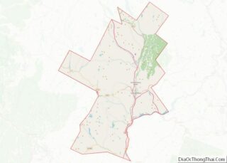
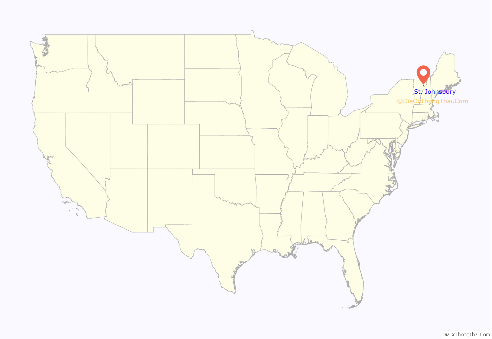
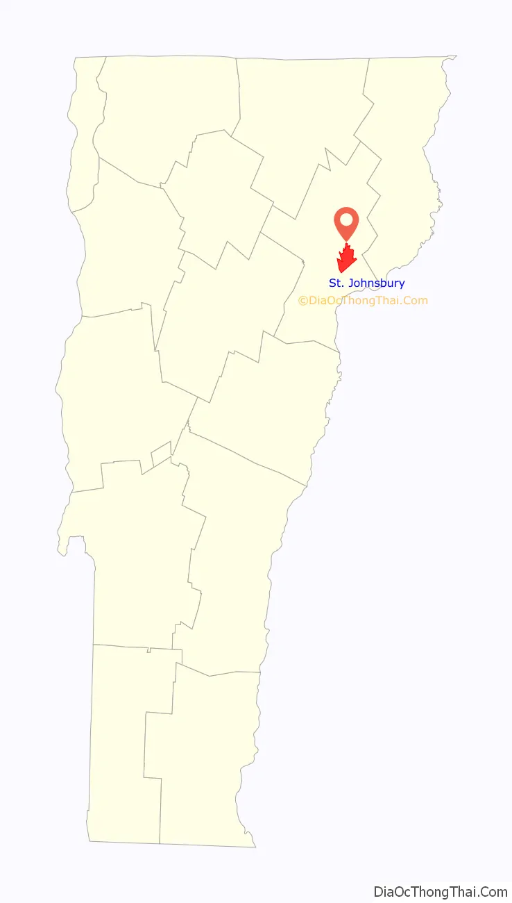
St. Johnsbury location map. Where is St. Johnsbury CDP?
St. Johnsbury Road Map
St. Johnsbury city Satellite Map
See also
Map of Vermont State and its subdivision: Map of other states:- Alabama
- Alaska
- Arizona
- Arkansas
- California
- Colorado
- Connecticut
- Delaware
- District of Columbia
- Florida
- Georgia
- Hawaii
- Idaho
- Illinois
- Indiana
- Iowa
- Kansas
- Kentucky
- Louisiana
- Maine
- Maryland
- Massachusetts
- Michigan
- Minnesota
- Mississippi
- Missouri
- Montana
- Nebraska
- Nevada
- New Hampshire
- New Jersey
- New Mexico
- New York
- North Carolina
- North Dakota
- Ohio
- Oklahoma
- Oregon
- Pennsylvania
- Rhode Island
- South Carolina
- South Dakota
- Tennessee
- Texas
- Utah
- Vermont
- Virginia
- Washington
- West Virginia
- Wisconsin
- Wyoming