Stowe is a census-designated place (CDP) comprising the central community in the town of Stowe, Lamoille County, Vermont, United States. As of the 2010 census the population of the CDP was 495, out of 4,314 in the entire town.
| Name: | Stowe CDP |
|---|---|
| LSAD Code: | 57 |
| LSAD Description: | CDP (suffix) |
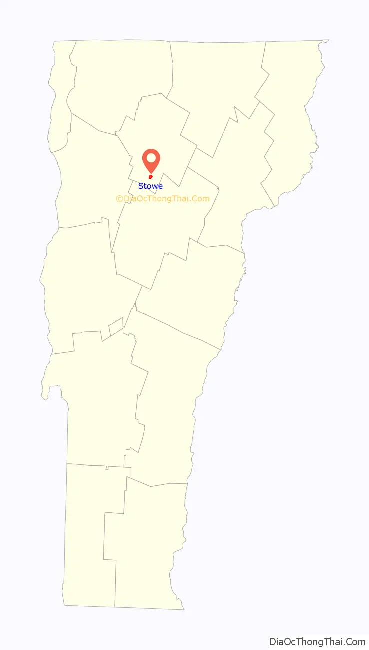
| State: | Vermont |
| County: | Lamoille County |
| Elevation: | 723 ft (220 m) |
| Total Area: | 0.82 sq mi (2.13 km²) |
| Land Area: | 0.81 sq mi (2.11 km²) |
| Water Area: | 0.008 sq mi (0.02 km²) |
| Total Population: | 495 |
| Population Density: | 608/sq mi (234.6/km²) |
| ZIP code: | 05672 |
| Area code: | 802 |
| FIPS code: | 5070450 |
| GNISfeature ID: | 2586656 |
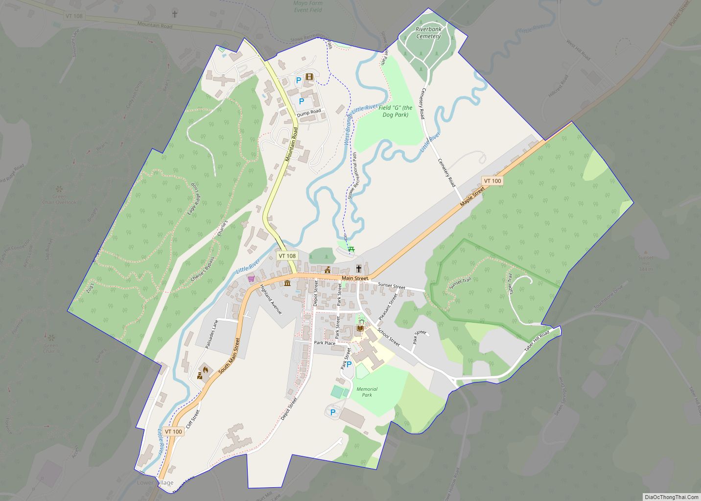
Online Interactive Map
Click on ![]() to view map in "full screen" mode.
to view map in "full screen" mode.
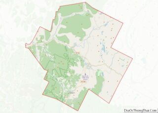
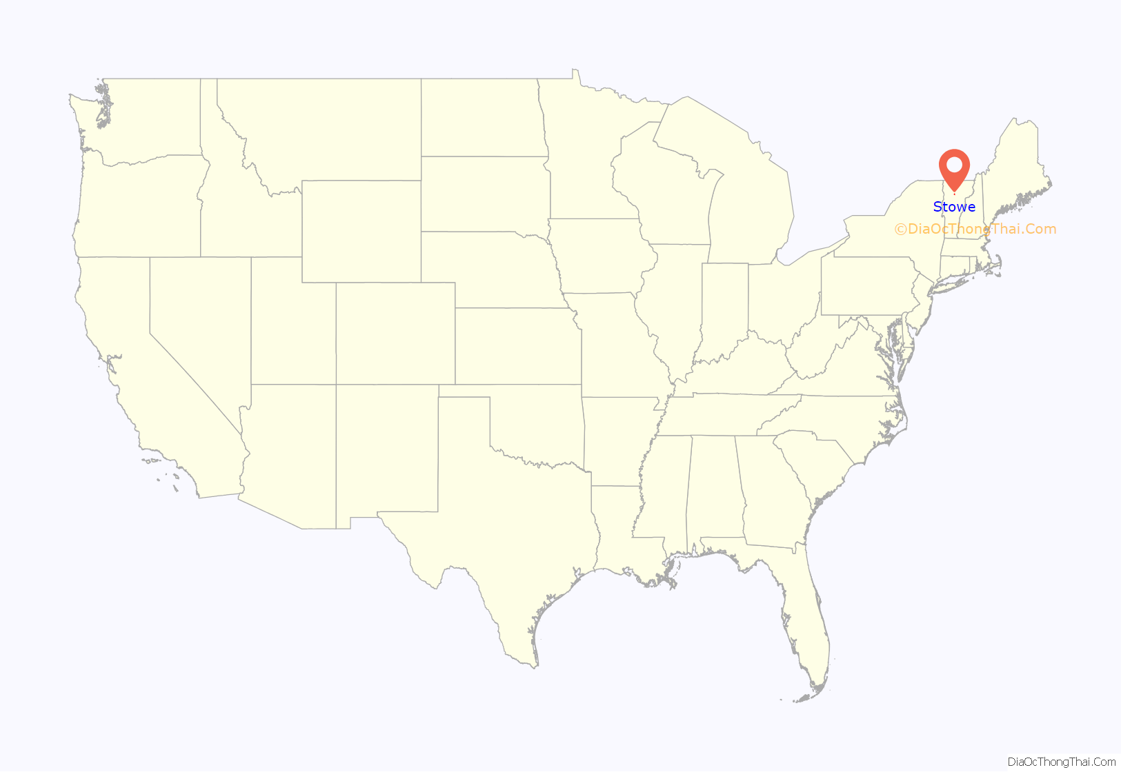
Stowe location map. Where is Stowe CDP?
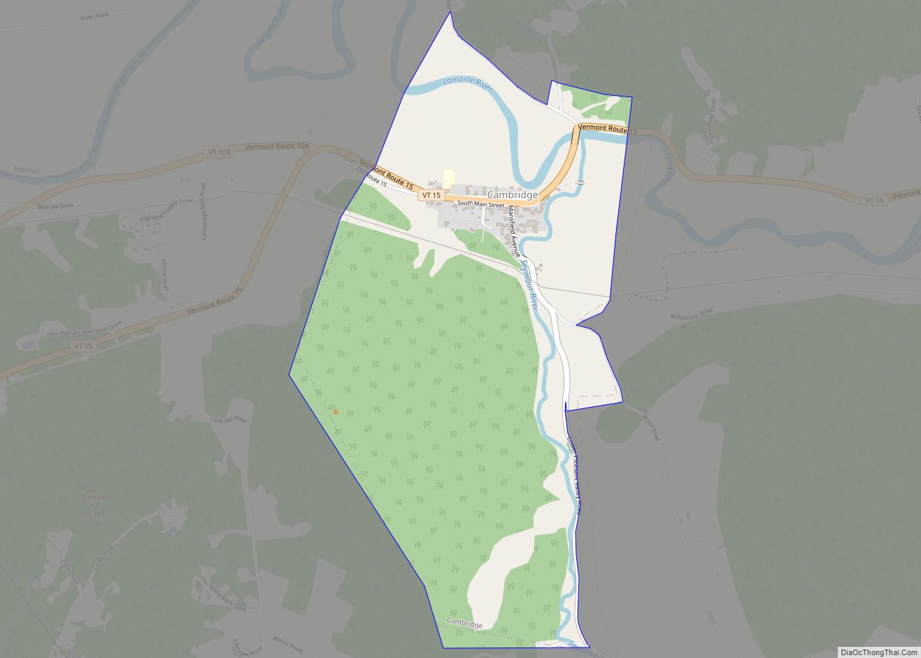
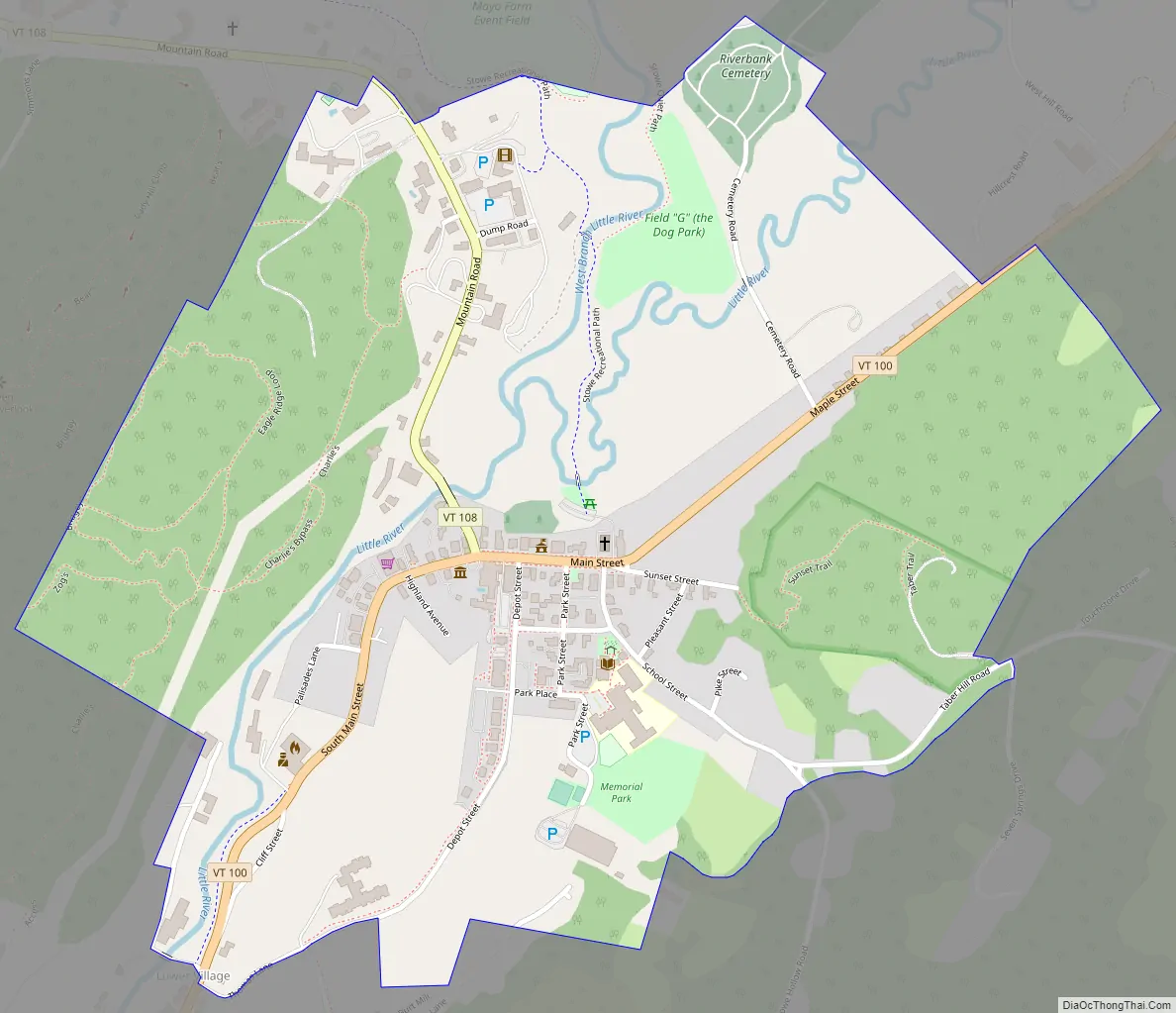
Stowe Road Map
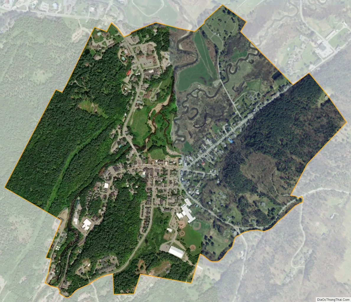
Stowe city Satellite Map
Geography
Stowe village is in the eastern part of the town of Stowe, along the Little River where it is joined by the West Branch. Vermont Route 100 passes through the village, leading north 9 miles (14 km) to Morrisville and south 10 miles (16 km) to Waterbury and Interstate 89. Vermont Route 108 has its southern terminus in Stowe village and leads north through Smugglers Notch 17 miles (27 km) to Jeffersonville.
According to the United States Census Bureau, the Stowe CDP has a total area of 0.81 square miles (2.1 km), of which 0.01 square miles (0.02 km), or 1.02%, are water. Via the Little River, Stowe is part of the Winooski River watershed draining westward to Lake Champlain.
See also
Map of Vermont State and its subdivision: Map of other states:- Alabama
- Alaska
- Arizona
- Arkansas
- California
- Colorado
- Connecticut
- Delaware
- District of Columbia
- Florida
- Georgia
- Hawaii
- Idaho
- Illinois
- Indiana
- Iowa
- Kansas
- Kentucky
- Louisiana
- Maine
- Maryland
- Massachusetts
- Michigan
- Minnesota
- Mississippi
- Missouri
- Montana
- Nebraska
- Nevada
- New Hampshire
- New Jersey
- New Mexico
- New York
- North Carolina
- North Dakota
- Ohio
- Oklahoma
- Oregon
- Pennsylvania
- Rhode Island
- South Carolina
- South Dakota
- Tennessee
- Texas
- Utah
- Vermont
- Virginia
- Washington
- West Virginia
- Wisconsin
- Wyoming