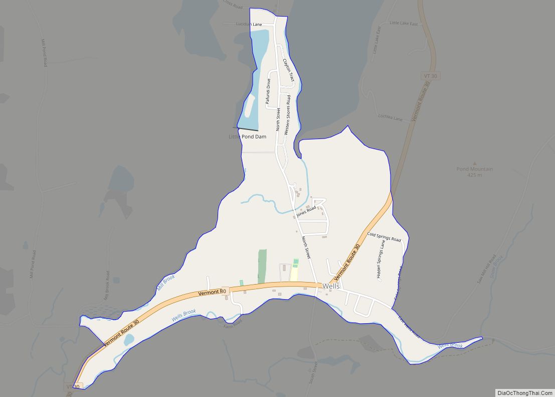
West Rutland is the central village and a census-designated place (CDP) in the town of West Rutland, Rutland County, Vermont, United States. As of the 2020 census, it had a population of 1,898, out of 2,214 in the entire town of West Rutland.
The CDP is in central Rutland County, in the southern part of the town. It sits in a valley on the east side of the Taconic Mountains, drained to the east by the Clarendon River, a tributary of Otter Creek, and to the west by the Castleton River, a tributary of the Poultney River. Both sets of rivers eventually flow to Lake Champlain.
U.S. Route 4, a four-lane expressway, passes south of the village center, with access from Exit 6. Route 4 leads east 4 miles (6 km) to U.S. Route 7 on the south side of Rutland and west 13 miles (21 km) to Fair Haven. Vermont Route 4A, former US 4, is Main Street through West Rutland; it leads east 4 miles (6 km) to downtown Rutland and west 7 miles (11 km) to Castleton. Vermont Route 133 (Clarendon Avenue) leads south from the center of West Rutland 11 miles (18 km) to Middletown Springs.
| Name: | West Rutland CDP |
|---|---|
| LSAD Code: | 57 |
| LSAD Description: | CDP (suffix) |
| State: | Vermont |
| County: | Rutland County |
| Elevation: | 498 ft (152 m) |
| Total Area: | 3.69 sq mi (9.57 km²) |
| Land Area: | 3.68 sq mi (9.52 km²) |
| Water Area: | 0.02 sq mi (0.05 km²) |
| ZIP code: | 05777 |
| Area code: | 802 |
| FIPS code: | 5082375 |
| GNISfeature ID: | 2378138 |
Online Interactive Map
Click on ![]() to view map in "full screen" mode.
to view map in "full screen" mode.
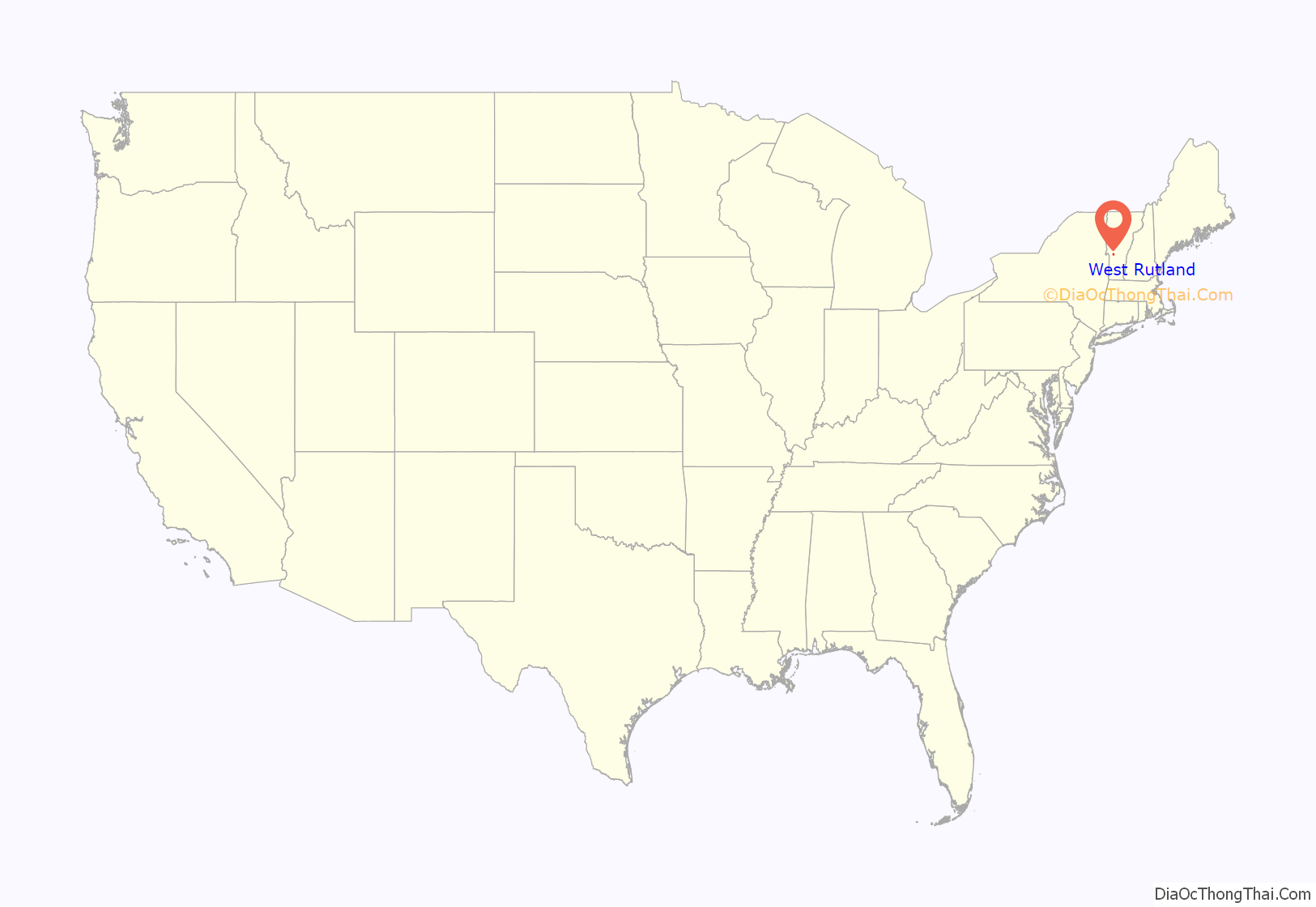
West Rutland location map. Where is West Rutland CDP?
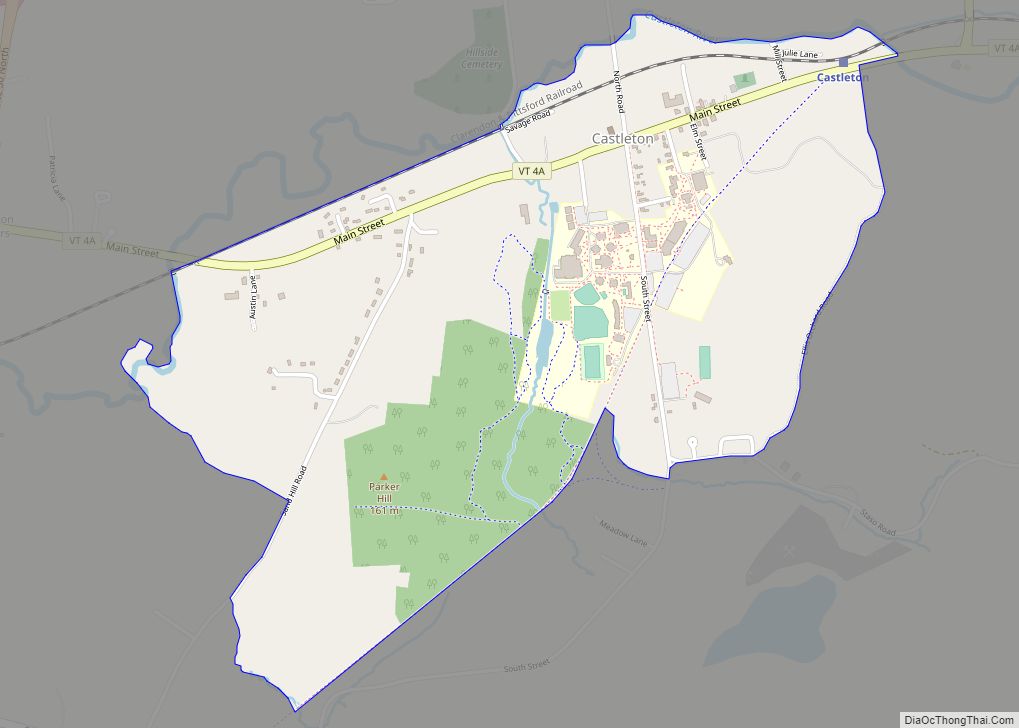
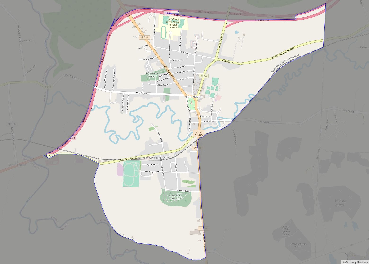
West Rutland Road Map
West Rutland city Satellite Map
See also
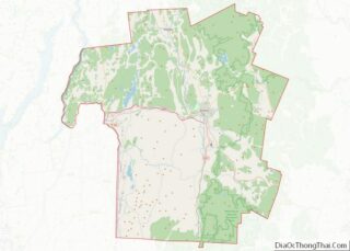
Map of Vermont State and its subdivision: Map of other states:- Alabama
- Alaska
- Arizona
- Arkansas
- California
- Colorado
- Connecticut
- Delaware
- District of Columbia
- Florida
- Georgia
- Hawaii
- Idaho
- Illinois
- Indiana
- Iowa
- Kansas
- Kentucky
- Louisiana
- Maine
- Maryland
- Massachusetts
- Michigan
- Minnesota
- Mississippi
- Missouri
- Montana
- Nebraska
- Nevada
- New Hampshire
- New Jersey
- New Mexico
- New York
- North Carolina
- North Dakota
- Ohio
- Oklahoma
- Oregon
- Pennsylvania
- Rhode Island
- South Carolina
- South Dakota
- Tennessee
- Texas
- Utah
- Vermont
- Virginia
- Washington
- West Virginia
- Wisconsin
- Wyoming
