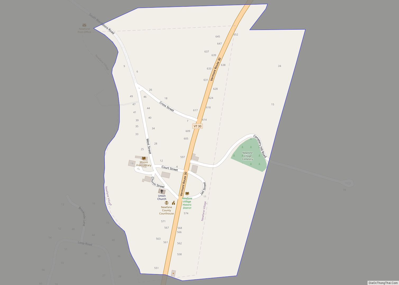
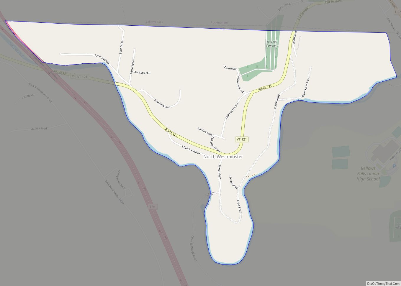
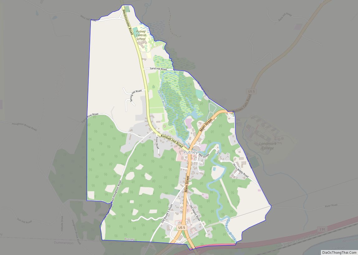
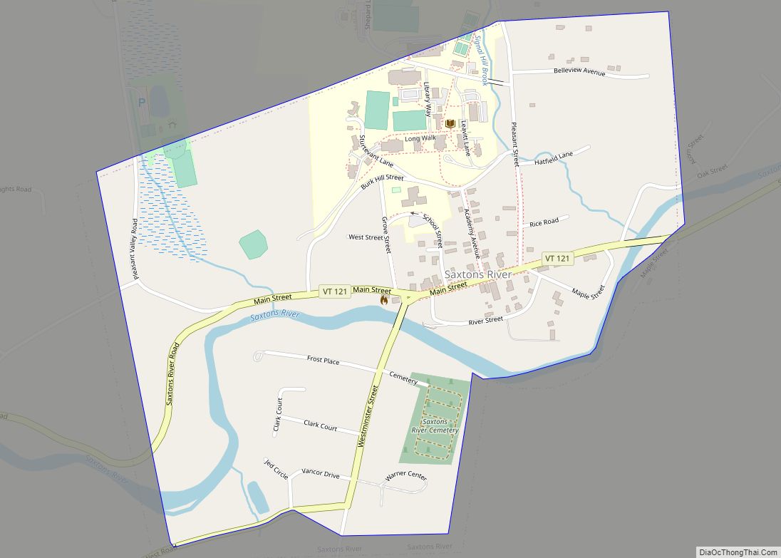
Westminster is a town in Windham County, Vermont, United States. The population was 3,016 at the 2020 census. It is also the first capital of the Republic of Vermont. It borders the state of New Hampshire.
| Name: | Westminster village |
|---|---|
| LSAD Code: | 47 |
| LSAD Description: | village (suffix) |
| State: | Vermont |
| County: | Windham County |
| Elevation: | 89 ft (27 m) |
| Total Area: | 3,016 |
| Population Density: | 66/sq mi (25.3/km²) |
| ZIP code: | 05158 |
| Area code: | 802 |
| FIPS code: | 5081325 |
| Website: | www.westminstervt.org/ |
Online Interactive Map
Click on ![]() to view map in "full screen" mode.
to view map in "full screen" mode.
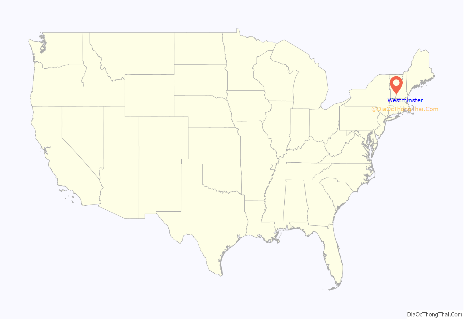
Westminster location map. Where is Westminster village?
History
Westminster is Vermont’s oldest existing town and was chartered in 1735 by the Province of Massachusetts Bay and was called New Taunton or Township Number One. The town did not have any permanent settlers in the area until 1751. New Hampshire settlers came in and the town was later incorporated in the Province of New Hampshire on November 9, 1752, becoming the third chartered town for New Hampshire west of the Connecticut River. When the British government recognized the Province of New York’s claims to what is now Vermont, New York moved its Court of Common Pleas for Cumberland County to Westminster in 1772. It was the site of the Westminster massacre in March 1775, in which two men were killed attempting to prevent New York provincial officials from exerting their authority over the area in the long-running dispute over the New Hampshire Grants. On January 15, 1777, a group of Vermonters met in the Westminster courthouse to declare the independence of the Republic of New Connecticut (later renamed the Republic of Vermont).
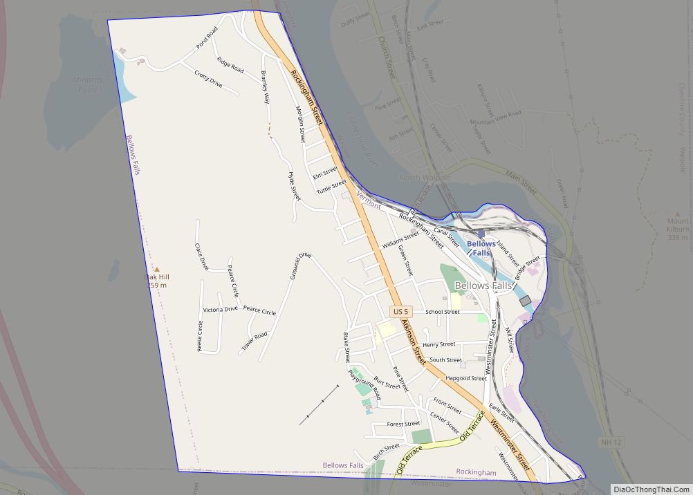
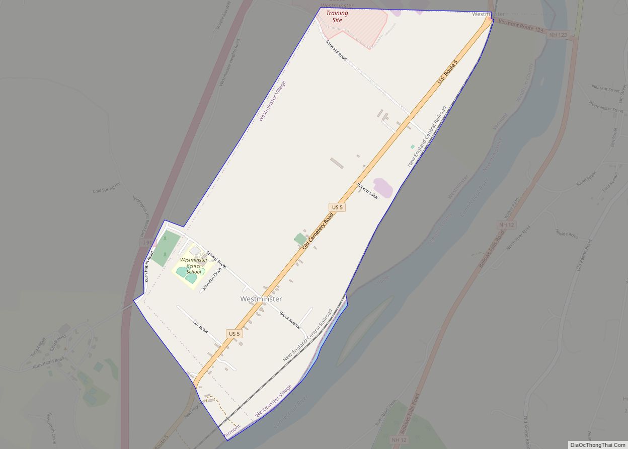
Westminster Road Map
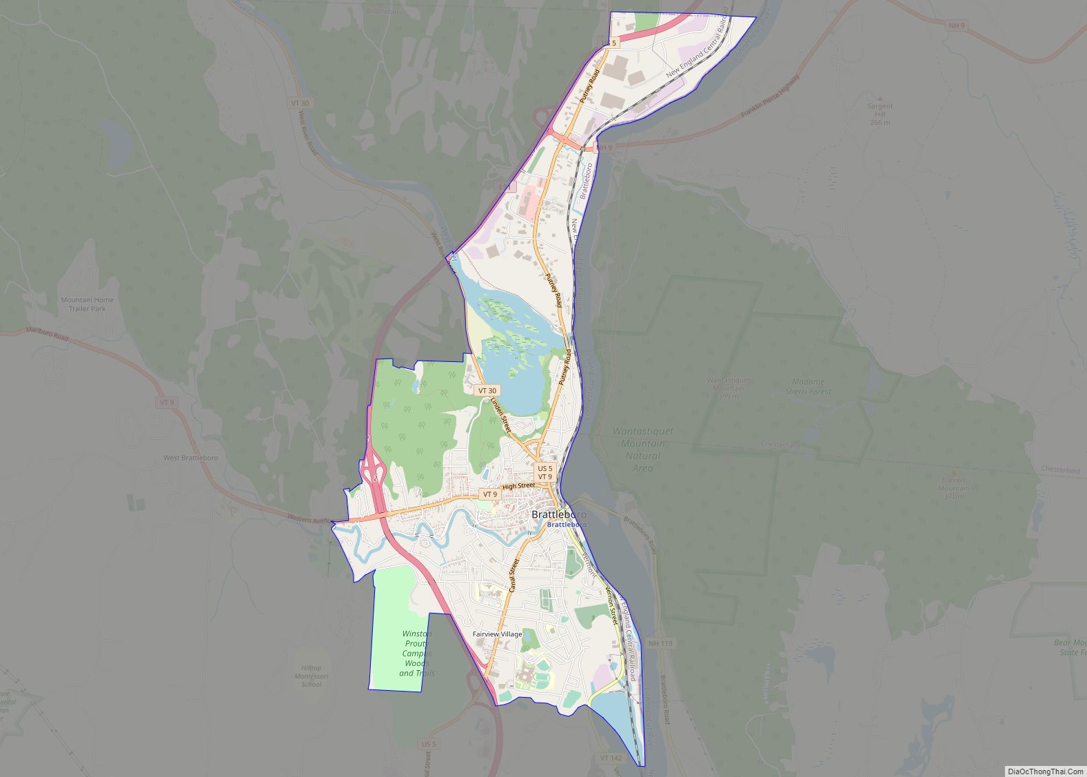
Westminster city Satellite Map
Geography
According to the United States Census Bureau, the town has a total area of 46.1 square miles (119.5 km), of which 46.1 square miles (119.3 km) is land and 0.04 square mile (0.1 km) (0.06%) is water.
See also
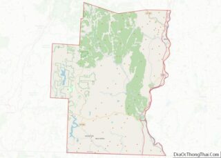
Map of Vermont State and its subdivision: Map of other states:- Alabama
- Alaska
- Arizona
- Arkansas
- California
- Colorado
- Connecticut
- Delaware
- District of Columbia
- Florida
- Georgia
- Hawaii
- Idaho
- Illinois
- Indiana
- Iowa
- Kansas
- Kentucky
- Louisiana
- Maine
- Maryland
- Massachusetts
- Michigan
- Minnesota
- Mississippi
- Missouri
- Montana
- Nebraska
- Nevada
- New Hampshire
- New Jersey
- New Mexico
- New York
- North Carolina
- North Dakota
- Ohio
- Oklahoma
- Oregon
- Pennsylvania
- Rhode Island
- South Carolina
- South Dakota
- Tennessee
- Texas
- Utah
- Vermont
- Virginia
- Washington
- West Virginia
- Wisconsin
- Wyoming
