Brevard County (/brəˈvɑːrd/ brə-VARD) is a county located in the east central portion of the U.S. state of Florida. As of the 2020 census, the population was 606,612, making it the 10th-most populated county in Florida. The official county seat is located in Titusville. Brevard County comprises the Palm Bay–Melbourne–Titusville, FL Metropolitan Statistical Area. It is located along the east Florida coast and bordered by the Atlantic Ocean.
With an economy strongly influenced by the John F. Kennedy Space Center, Brevard County is also known as the Space Coast. As such, it was designated with the telephone area code 321, as in “3, 2, 1 liftoff”. The county is named after Theodore Washington Brevard, an early Florida settler and state comptroller.
A secondary center of county administrative offices was built beginning in 1989 in Viera, Florida, a master planned community in an unincorporated area. The county offices were developed to serve the more populous southern part of the long county. Most county offices and the primary court facility are now based in Viera.
| Name: | Brevard County |
|---|---|
| FIPS code: | 12-009 |
| State: | Florida |
| Founded: | March 14, 1844 |
| Named for: | Theodorus W. Brevard |
| Seat: | Titusville |
| Largest city: | Palm Bay |
| Total Area: | 1,557 sq mi (4,030 km²) |
| Land Area: | 1,016 sq mi (2,630 km²) |
| Total Population: | 606,612 |
| Population Density: | 390/sq mi (150/km²) |
| Time zone: | UTC−5 (Eastern) |
| Summer Time Zone (DST): | UTC−4 (EDT) |
| Website: | www.brevardfl.gov |
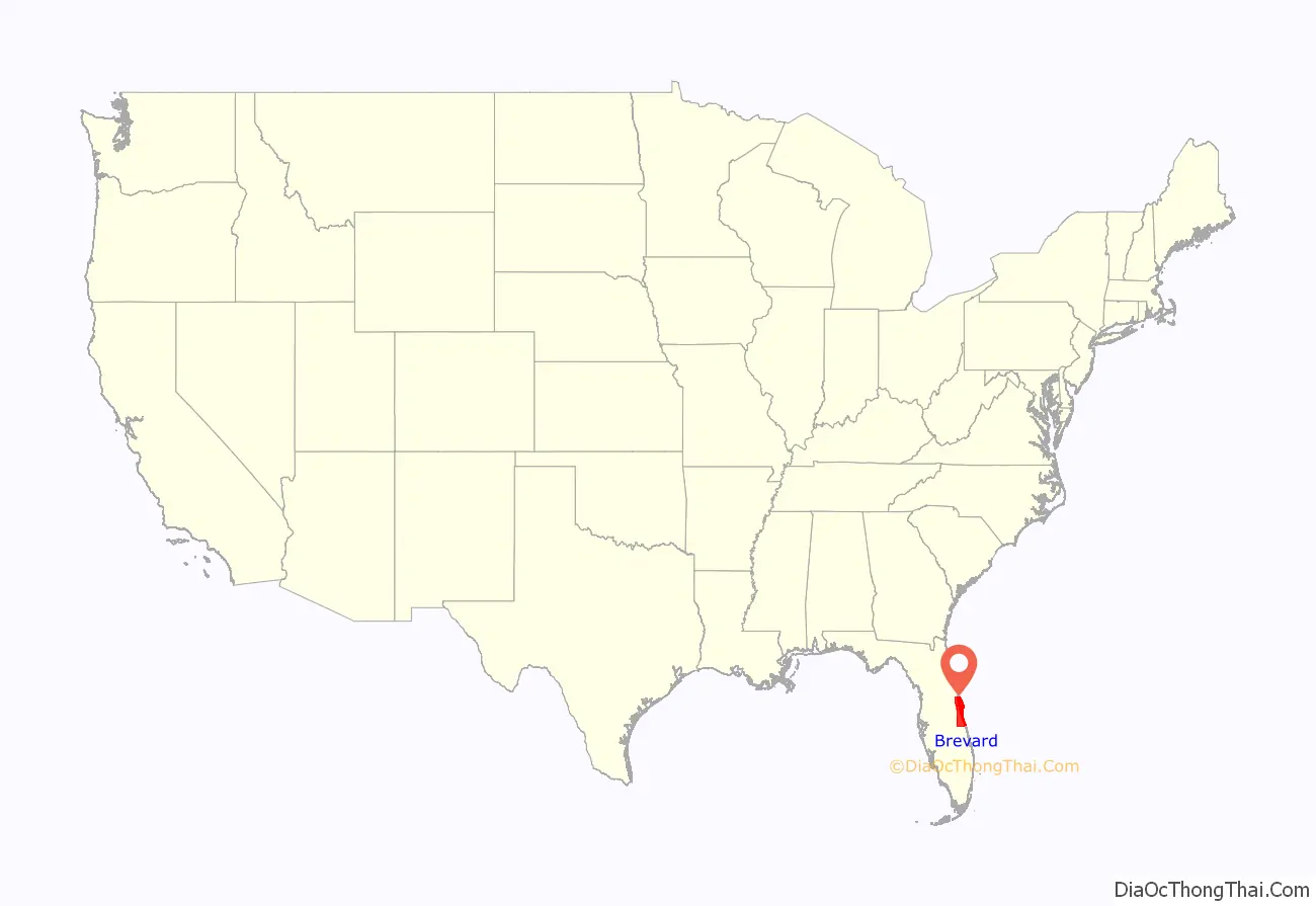
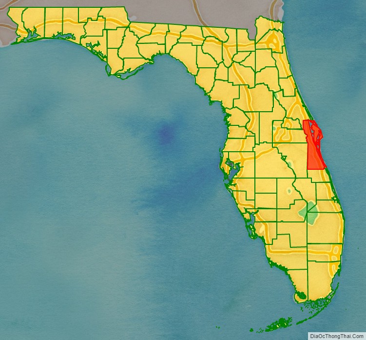
Brevard County location map. Where is Brevard County?
History
The first Paleoindians arrived in the area near Brevard county between 12,000 and 10,000 years ago. The Paleoindians were semi-nomadic people who lived in smaller groups. After a few thousand years, a new group of settlers appeared known as “the archaic people.” These people were primarily fishermen, as opposed to the hunting and gathering way of life which characterized the Paleoindians. The Windover Archeological Site, discovered in 1982, was found during excavation to have the largest collection of human remains and artifacts of the early Archaic Period (6,000-5,000 BCE), or more than 8,000 years before present. It has been designated as a National Historic Landmark. The Windover pond, which would have been a woody marsh at the time, was used by the Archaic Floridians as a burial ground, with the bodies being wrapped in fabric and submerged in the peaty soil. The pond was used for internments for around a thousand years (circa 8,000 BCE-7,000 BCE).
The Ais and the Jaega were the dominant tribes in the area when it is thought that Ponce De Leon landed on the shores near Melbourne Beach in 1513. There were about 10,000 of these natives in the area. Pedro Menéndez de Avilés gave an early account of the Ais people in 1570 when he was shipwrecked off of Cape Canaveral. He faced hostile natives but through the use of a bluff was able to escape from them and get back to St. Augustine. In 1605, Alvero Mexia was dispatched from St. Augustine to the Indian River area on a diplomatic mission to the Ais Indian Nation. He helped establish a “Period of Friendship” with the Ais Caciques(Chiefs) and made a color map of the area. Throughout the 18th century, the great European powers Spain, Great Britain and France vied for power in Florida. Their interest in the peninsula was more strategic than for building any real settlements. In contrast to today, where living in Florida means comfort and the “good life” to many people, Florida in the 18th century was seen as a hostile place with dangerous fauna such as venomous snakes, alligators and panthers. Death by malaria was a possibility and death at the hands of angry Indians seemed even more likely. After being under Spanish, French, British, and then Spanish rule again, Florida became a United States territory in 1845.
During the 19th century, the state of Florida was constantly changing the names and borders of counties. St. Lucie County was split off from Mosquito County in 1844. St. Lucie County was renamed Brevard County in 1855 after Theodore Washington Brevard, who served as Florida Comptroller from 1854 to 1860. This “Brevard County” contained very little of present-day Brevard County. Most of present-day Brevard north of Melbourne was part of either Volusia or Orange counties. Brevard County in 1856 extended as far west as Polk County and as far south as coastal Dade County. Complicating the discussion of Brevard County in the 19th century is that the boundaries have shifted such that the southernmost parts of present-day Brevard, were originally the northernmost parts. The original county seat was located at Susannah, an early name for present day Fort Pierce. Later the southern part of Brevard split off to form a new county, St. Lucie County in 1905. Gradually, the borders of Brevard County were shifted northward while the county got “pinched” eastward. The portions of Brevard County in present-day Broward and Palm Beach counties were given to Dade County, western areas of the county were given to Polk and Osceola County, and parts of Volusia and Orange Counties were given to Brevard including the eventual county seat of Titusville. Later, the southern portion of the county was cut off to form St. Lucie County, which in turn spawned Martin and Indian River County.
The first concerted development the area occurred with the extension of Henry Flagler’s Florida East Coast Railroad into the area. The railroad reached Titusville in 1886 and Melbourne in 1894. With the railroad came increased settlement and the first tourists. The first major land boom began in the 1920s after the end of World War I. People flooded into the state of Florida, both tourists from northern winters and new full-time residents, and land prices soared. The Great Depression temporarily stopped growth in Florida. Before the start of World War II, the largest industries in Brevard were commercial fishing, citrus, and tourism.
In 1940, the government built Naval Air Station Banana River (now Patrick Space Force Base). This military installation was the first of major federal investment in projects to aid the development of Brevard County. The federal government also funded construction of what is now Florida State Road A1A, paralleling the ocean and providing vehicle access to the NAS.
Beginning in the 1930s, Harry T. Moore was a civil rights leader, teacher, and founder of the Brevard County NAACP. After the war he became president of the state NAACP. After the Supreme Court had ruled in 1944 that white primaries were unconstitutional, he conducted voter registration drives and succeeded in registering 31% of black voters in Florida, a higher percentage than in any other southern state. The white establishment resisted, firing both him and his wife Harriette in 1946 from their teaching positions as economic blackmail against them because of their activism. On Christmas night, 1951, a bomb exploded under their home, fatally injuring both of them. The murders were racially motivated and believed committed by members of the Ku Klux Klan. Four separate investigations were conducted, including the first by the FBI in 1951–1952, and the last in 2005 by the state. No one was ever prosecuted.
In the late 1950s, the government opened the Long Range Proving Ground. This later became the Kennedy Space Center. This helped stimulate development in the county; where Brevard had once been considered a “backwoods” area of Florida, it attracted more educated workers and scientists associated with the program. Beginning in the 1960s, new bridges constructed across the waterways were designed as high-rise steel, designed to be high enough to allow passage of boats underneath.
As the county was long, people in the southern, more populous side of the county complained about being so distant from the county seat. The county seat of Titusville was 50 miles (80 km) from Palm Bay, the most populous city in the county. Residents in the southern end of the county talked of creating a new county to serve them. The county decided to build a new county administration complex at Viera, near the geographical center of the county. This complex was started in 1989. Residents in the north also threatened secession. Their proposal to form a new county, to be called Playalinda, had some momentum in the early 90s. The county made a few concessions to the people in the northern part of the county, and agreed not to officially move the county seat. Since construction of the new center, Viera has been for all intents and purposes the de facto seat of Brevard County.
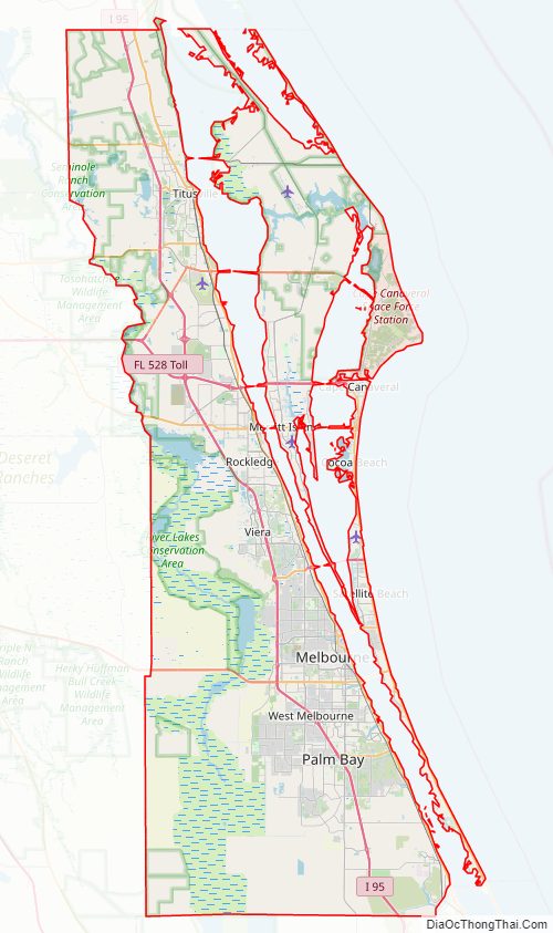
Brevard County Road Map
Geography
According to the U.S. Census Bureau, the county has a total area of 1,557 square miles (4,030 km), of which 1,016 square miles (2,630 km) is land and 541 square miles (1,400 km) (34.8%) is water. Most of the water is the Atlantic Ocean, the St. Johns River and the Indian River Lagoon. The county is larger in area than the nation of Samoa and nearly the same size, and population, as Cape Verde. It is roughly the size of the state of Rhode Island.
Located halfway between Jacksonville and Miami, Brevard County extends 72 miles (116 km) from north to south, and averages 26.5 miles (42.6 km) wide. Marshes in the western part of this county are the source of the St. Johns River. Emphasizing its position as halfway down Florida are two roads that have been numbered halfway down Florida’s numbering system, State Road 50 and State Road 500.
The Atlantic Intracoastal Waterway along the eastern edge of Brevard County is the major waterway route in Brevard County. It includes the Indian River. Additional waterways include Lake Washington, Lake Poinsett, Lake Winder, Sawgrass Lake, the St. Johns River, and the Banana River. Dredging for the Intracoastal created 41 spoil islands in the Brevard portion of the Indian River.
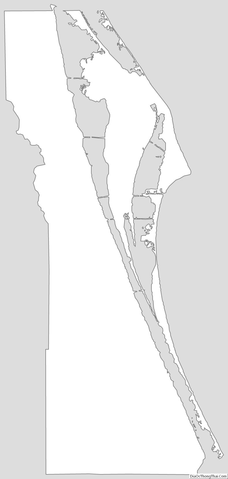
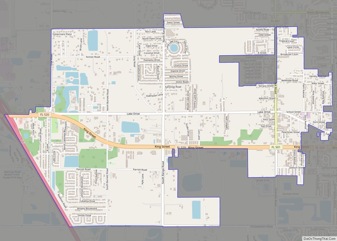
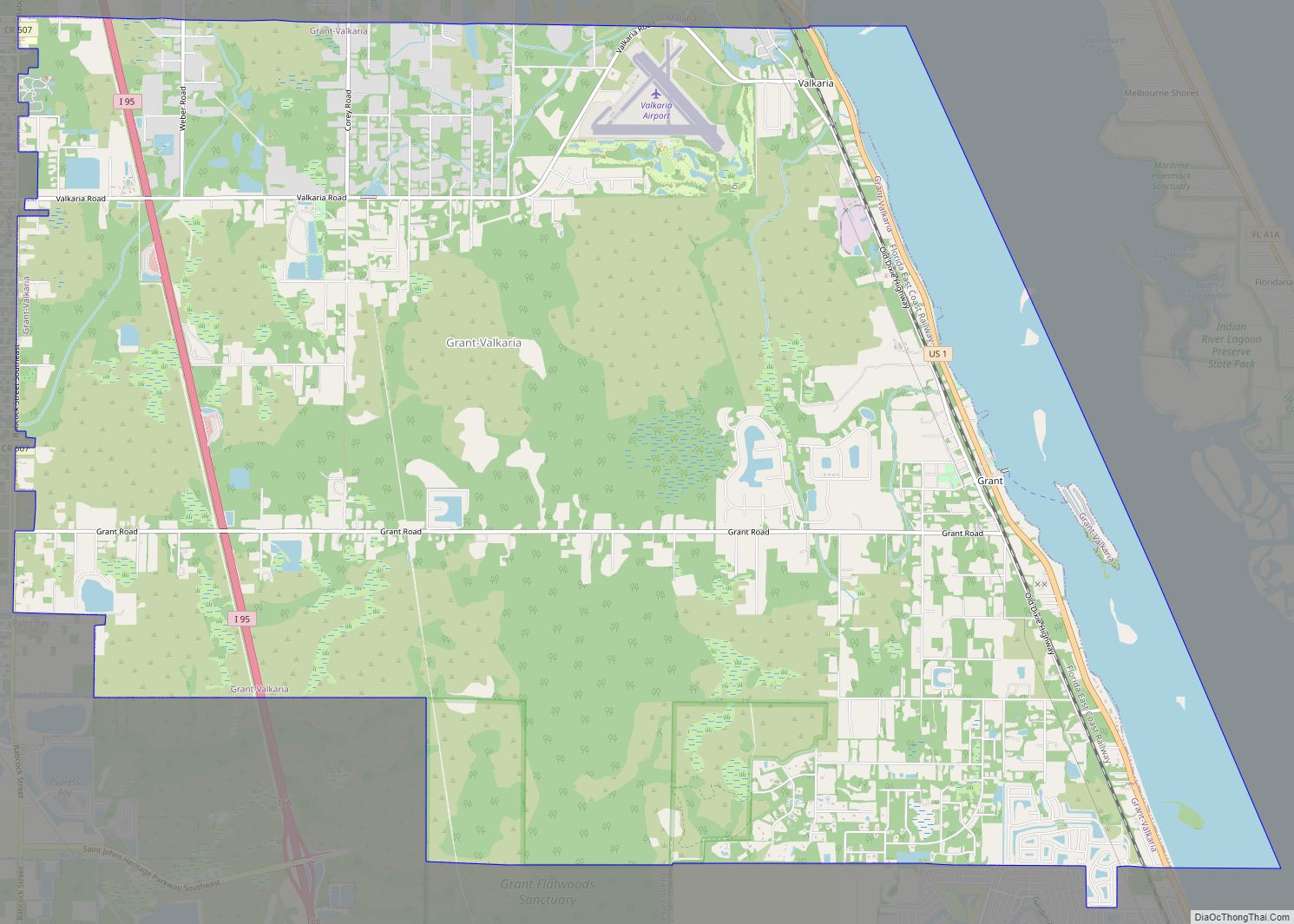
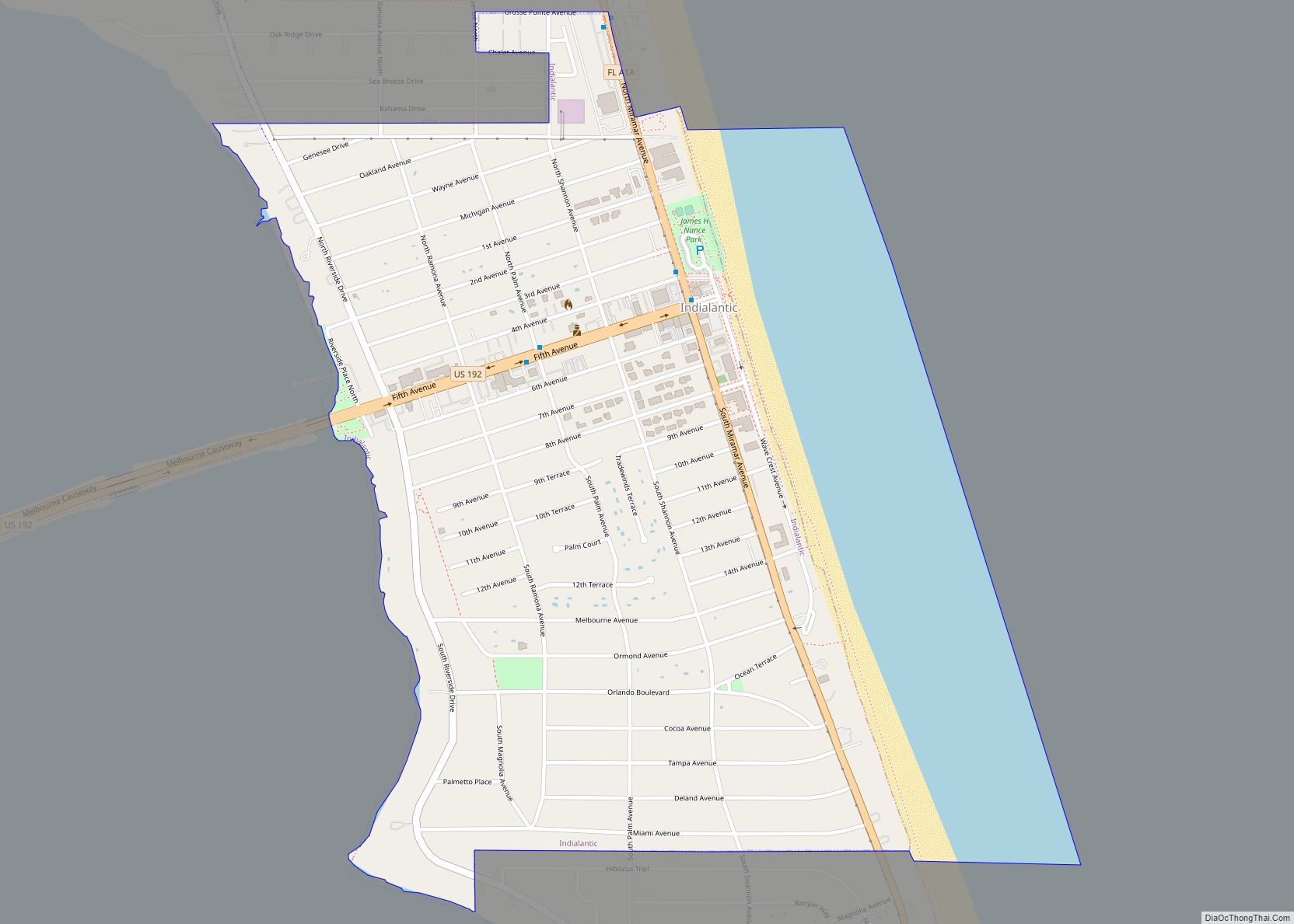
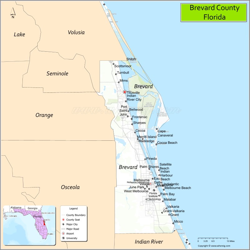
Brevard County is the sole county in the Palm Bay – Melbourne – Titusville, Florida Metropolitan Statistical Area (formerly the Melbourne-Titusville-Cocoa, Florida Standard Metropolitan Statistical Area and Melbourne-Titusville-Palm Bay, Florida Metropolitan Statistical Area). There is no major urban center. The county is unofficially divided into three sections: North County, comprising Titusville, Mims and Port St. John; Central Brevard, which includes Cocoa, Rockledge, Merritt Island, and Cocoa Beach; and South County, which includes Melbourne, Palm Bay, Grant, Valkaria, and the South Beaches. The South Beaches is a term that measures direction south from the dividing line of Patrick Space Force Base, and includes South Patrick Shores, Satellite Beach, Indian Harbour Beach, Indialantic, and Melbourne Beach.
The county government has historically labeled the beach areas differently. The North Reach includes 9.4 miles (15.1 km) in Cape Canaveral and Cocoa Beach. The Patrick Space Force Base beach is 4.1 miles (6.6 km). The Mid Reach includes the 7.6 miles (12.2 km) in Satellite Beach. The South Reach includes the 3.8 miles (6.1 km) in Indialantic and Melbourne Beach. The South Beaches include 14.5 miles (23.3 km) south of Melbourne Beach to Sebastian.
The United States Board on Geographic Names considered two proposals in 2012 to officially name the barrier island extending from Port Canaveral to Sebastian Inlet. The 45-mile-long (72 km) island includes the cities of Cape Canaveral, Cocoa Beach, Indialantic, Melbourne Beach, Patrick Space Force Base, Indian Harbour Beach, and Satellite Beach. The American Indian Association of Florida submitted in October 2011 a proposal to name the island after the Ais people. In January 2012 the United Third Bridge and the Florida Puerto Rican/Hispanic Chamber of Commerce in Melbourne submitted a proposal to name the island Ponce de León Island, after Spanish explorer Juan Ponce de León, but it was ultimately not named.
There are 16 municipalities. The largest by population is Palm Bay, the smallest Melbourne Village.
Communities
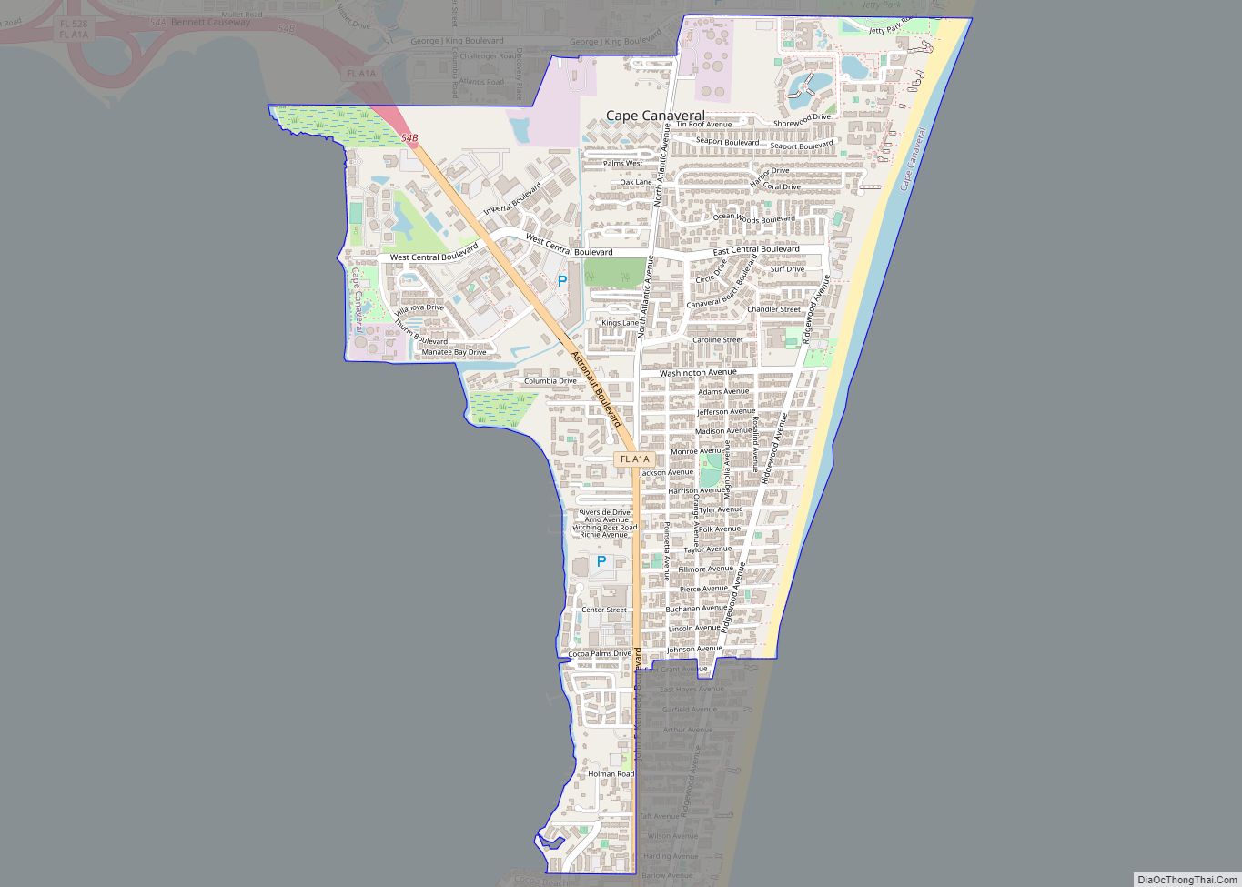
- Cape Canaveral
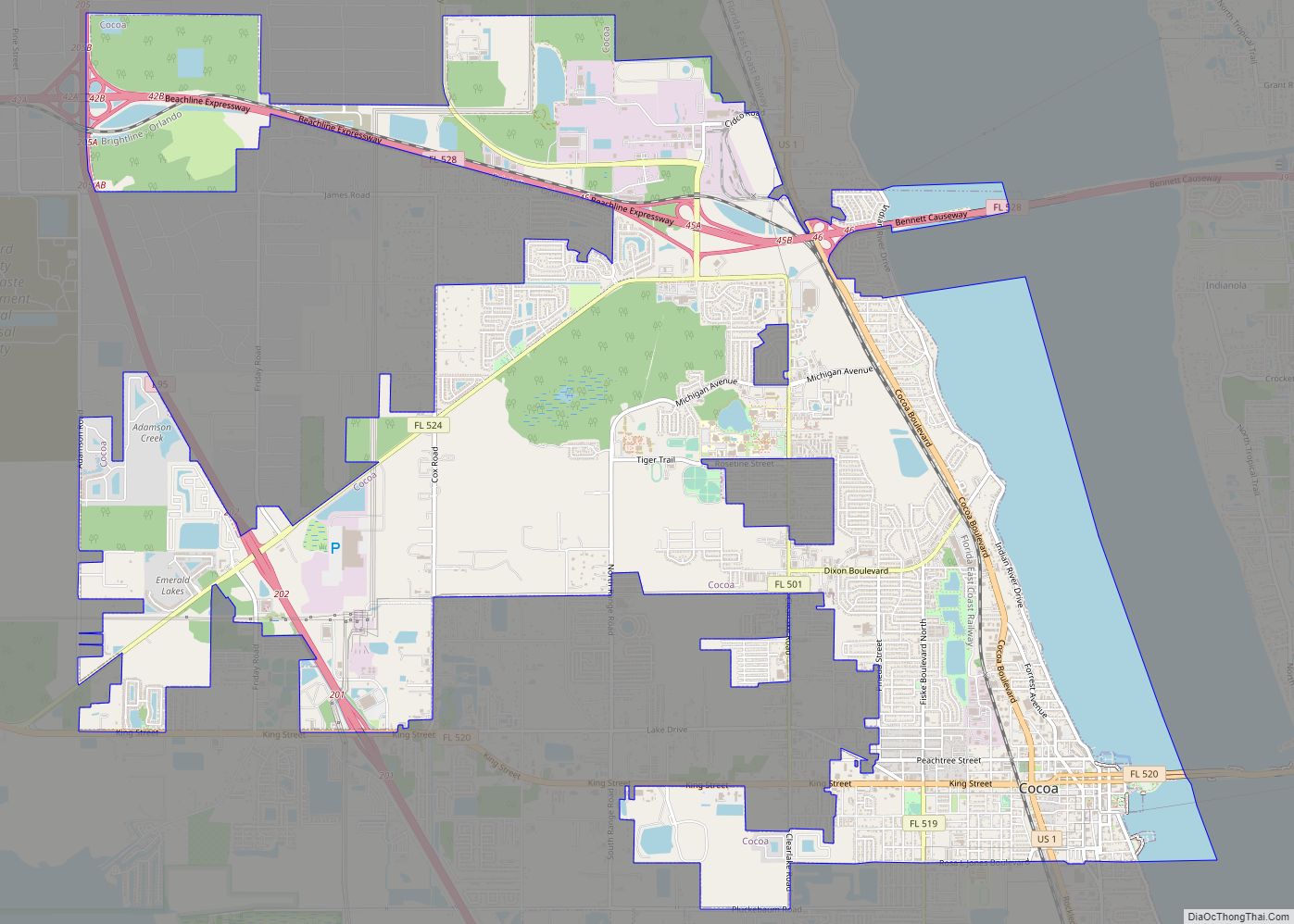
- Cocoa
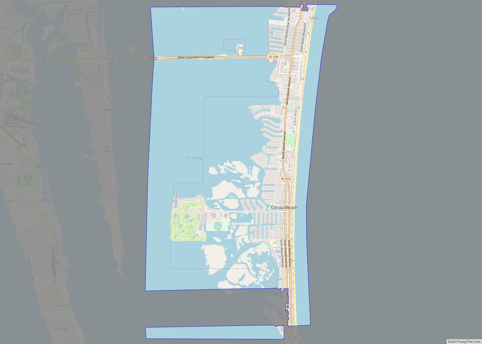
- Cocoa Beach
- Indian Harbour Beach
- Melbourne
- Palm Bay
- Rockledge
- Satellite Beach
- Titusville
- West Melbourne
- Cocoa West
- June Park
- Merritt Island
- Micco
- Mims
- Patrick SFB
- Port St. John
- Scottsmoor
- Sharpes
- South Patrick Shores
- Viera East
- Viera West
- Angel City
- Aurantia
- Barefoot Bay
- Bellwood
- Canaveral Groves
- Courtenay
- Eau Gallie
- Floridana Beach
- Georgiana
- Indianola
- Lotus
- Melbourne Shores
- Pineda
- Shiloh
- South Cocoa Beach
- Suntree
- Tropic
- Viera
Metropolitan Statistical Area
The United States Office of Management and Budget has designated Brevard County as the Palm Bay–Melbourne–Titusville, FL Metropolitan Statistical Area. The United States Census Bureau ranked the Palm Bay–Melbourne–Titusville, FL Metropolitan Statistical Area as the 98th most populous metropolitan statistical area and the 96th most populous primary statistical area of the United States as of July 1, 2012.
Geology
The underlying limestone in the county is relatively young at 150,000 years old. This means that the ground will not develop the sinkholes that are prevalent in the spine of Florida, where limestone is from 15 to 25 million years old.
Climate
The county has a Köppen climate classification of Cf with a year-round distribution of rainfall. This means a humid subtropical climate with hot, humid summers. There are distinct wet and dry seasons. The dry lasts from December through May, the wet from June through November. During the dry season, periods of drought often occur, and can lead to a persistent and high wild land fire threat. In numerous instances these fires have caused property damage. Several fires in 2008 forced the evacuation of Bayside High School, in the town of Palm Bay. In that particular event, 162 homes were damaged.
January is the coldest month, with an average low of 50.7 °F (10.4 °C) and an average high 71 °F (22 °C). The warmest months are July and August with average highs of 90 °F (32 °C) and average lows of 72.2 °F (22.3 °C). The driest month is April with 1.6 inches (4.1 cm) of rainfall; the wettest is September, with 6.6 inches (17 cm). Offshore ocean temperatures have averaged: January – 64 °F (18 °C), February – 62 °F (17 °C), March – 67 °F (19 °C) and April – 72 °F (22 °C). In federal maps printed before 2012, nearly half of Brevard was classified as prone to flooding. Most of this was in the relatively undeveloped low-lying areas, west of Interstate 95, on the banks of the St. Johns River. About 18,900 homes out of 164,000 single-family homes were in that area.
Florida is a large subtropical state that is regularly affected by hurricanes. Although Brevard County is located along Florida’s eastern peninsula, because of associated weather patterns, it is less frequently hit by direct hurricane landfalls than are portions of the Panhandle or South Florida. There are two predominant reasons for this. First, westward-moving tropical systems often reach an atmospheric ridge weakness in the Bermuda High by the time they approach Florida at a latitude as northerly as Brevard County. Combined with frontal systems that exit the United States’ East Coast, many of these tropical systems are steered northwest and eventually curve northward offshore along Florida’s East Central Coast. A second reason is that hurricanes making landfall along the Florida peninsula Gulf Coast often weaken to a tropical storm by the time they move northeast and reach Brevard County. (2004’s Charley was an exception). No major hurricane, defined as category 3 or higher, has struck Brevard since 1850, the beginning of recorded climate.
Although residents may refer to past storms as “hurricanes”, by the time they strike the county, most have subsided to tropical storms or depressions. But because of the threat of storm surge, the beach community on the barrier island is often required to evacuate well in advance of the storm. The possibility of storm surge is diminished when the storm comes across the state instead of directly from the Atlantic.
Five hurricanes have directly affected Brevard since 1950: David (September 3, 1979); Erin (August 2, 1995) – made landfall near Sebastian Inlet and caused mostly minor wind damage and more extensive flooding countywide; Charley (August 13, 2004) – caused damage in Titusville and North Brevard; Frances (September 3, 2004) – struck neighboring Vero Beach in Indian River County directly and caused widespread wind damage throughout Brevard; and Jeanne (September 26, 2004) – struck Vero Beach directly, following very nearly the same path as Frances. The latter two storms caused widespread damage in South Brevard, and resulted in $2.8 billion in claim payments. Slightly more than half of one percent (0.6%) of houses were lost. The following storms did not affect Brevard County with hurricane-force winds: Floyd (September 15, 1999), and Irene (October 16, 1999). Tropical Storm Fay dropped a record rainfall of 27.65 inches (70.2 cm) in 2008.
The winter of 2009–2010 was the coldest on record since 1937, when such records were first kept. Planting season, which normally starts around February 14, came six weeks later instead. Some flowers and herbs are planted as early as January. December 2010 was the coldest December on record.
Brevard County works together with the federal and state government to control pollution and preserve wetlands and coastal areas through lands dedicated to conservation and wildlife protection. There are 250 square miles (650 km) of federally protected wildlife refuges. These lands include Merritt Island National Wildlife Refuge, the Canaveral National Seashore, the St. Johns National Wildlife Refuge, the Archie Carr National Wildlife Refuge, several conservation areas managed by the St. Johns River Water Management District, Brevard County’s Environmentally Endangered Lands Program Sanctuaries, and lands dedicated by the State as conservation areas.
Adjacent counties
- Volusia County – north
- Indian River County – south
- Osceola County – southwest
- Orange County – west
Fauna
There are 4,000 species of animals locally. Common mammals include North American river otters, bobcats, white-tailed deer, raccoons, marsh rabbits, scrub lizards, rat snakes, and opossum. Feral pigs, introduced by Europeans, present an occasional traffic hazard. There are an estimated 3,500 endangered gopher tortoises in the county.
There were 1,677 manatees in Brevard County in 2015, out of a total of 6,063 in the state. This was an increase from 2014 when there was a total of 612 in Brevard County. Manatees experience numerous threats within Brevard, where 312 died in the first half of 2021. Bottlenose dolphin are commonly seen in the Intracoastal Waterway. Fish and reptiles include alligators, red snapper, sea turtles, North Atlantic right whales, a rare protected species, give birth near the coast of Brevard, among other places, from November 15 to April 15.
The venomous brown recluse spider is not native to the area but has found the environment congenial. The Florida Butterfly Monitoring Network has counted species of butterflies monthly for a year since 2007. In 2010, it counted 45 species. Included are zebra swallowtail butterflies. Lovebug season occurs twice annually in May and August–September. Motorists encounter swarms of these while driving during a four-week period. Deer flies are particularly noticeable from April through June.
Local bird counts indicate that there are at least 163 species of birds in the county. Turkey vultures, a migrating species, are protected by federal law. They migrate north in the summer and return in September. The county’s most common winter bird is the lesser scaup, a diving duck. In 2008, half a million were counted. In 2010, 15,000 were estimated. Other birds include the red-shouldered hawk, the loggerhead shrike, the endangered red-cockaded woodpecker, Cooper’s hawks, pileated woodpeckers, Savannah sparrows, rails (which also includes coots), Florida scrub jays (an endangered species), wood storks, grackles, great horned owls, northern mockingbirds, brown thrashers, catbirds, green-winged teals, greater yellowlegs, western sandpipers, least sandpipers, dowitchers, and American white pelicans. Peak migration in the fall is from the last week in September through the first week in October. Fall migration tends to be stronger than spring because birds typically take different flyways.
Flora
Native trees include cabbage palm (the state tree of Florida), fringetree, coral bean, sweet acacia, geiger tree, firebush, beautyberry, coral honeysuckle, and blanket flower. Other native plants include sea grape, red mulberry, purslane, dandelion, Spanish bayonet, blackberry, Jerusalem artichoke, dogwood, and gallberry. On the east coast of the state, mangroves have normally dominated the coast from Cocoa Beach southward. Northward these may compete with salt marshes moving in from the north, depending on the annual weather conditions. Live oak trees, various grasses, and juniper plants were sufficiently common to generate pollen noticeable by some people in February 2011.
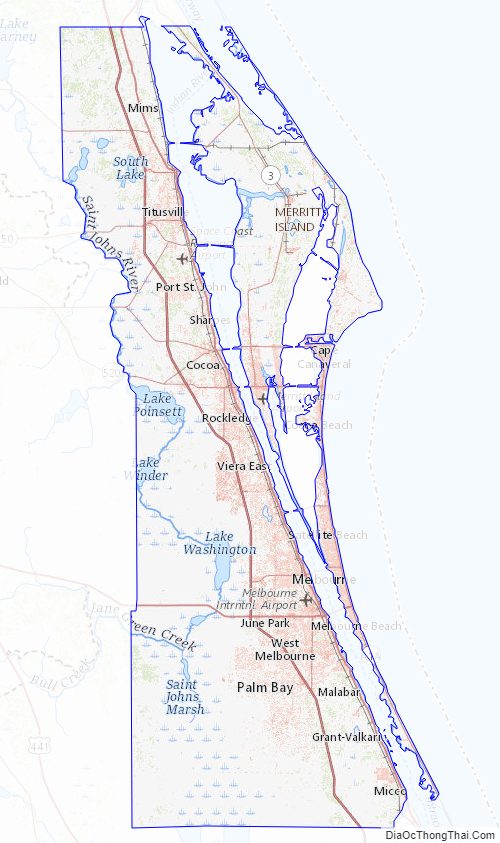
Brevard County Topographic Map
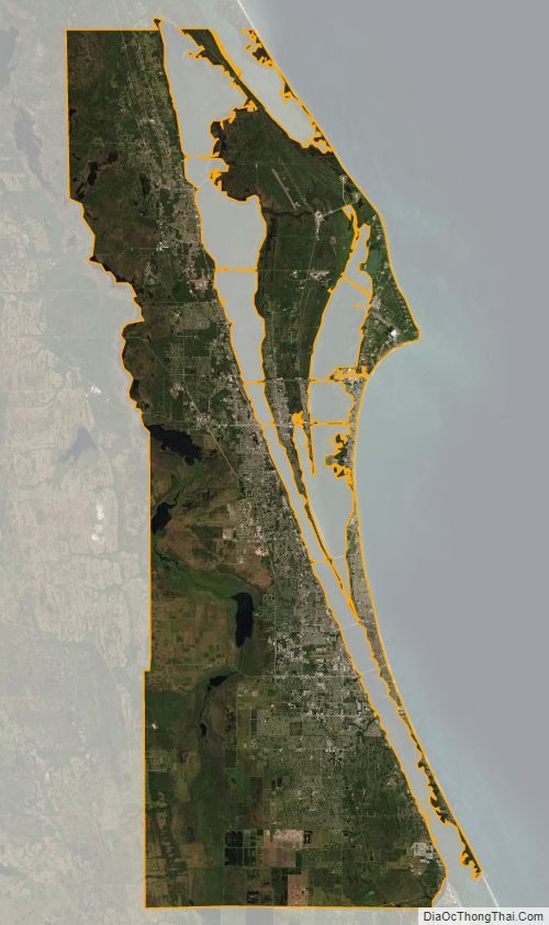
Brevard County Satellite Map
Brevard County Outline Map