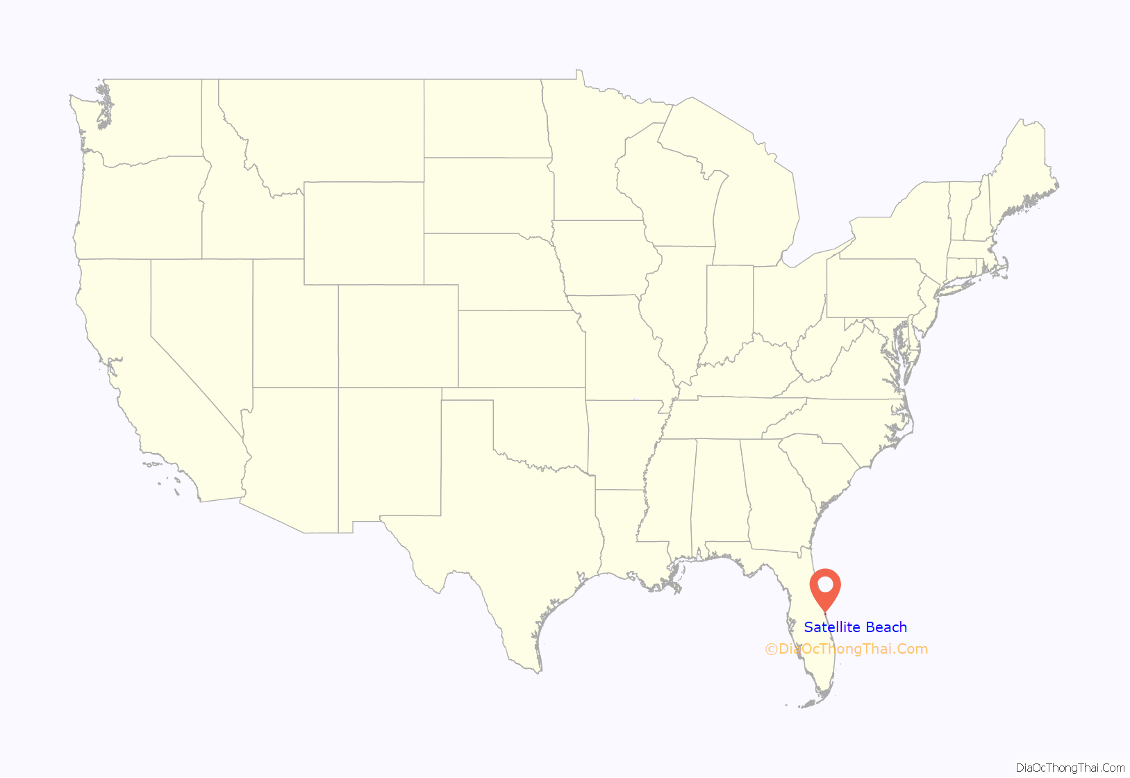
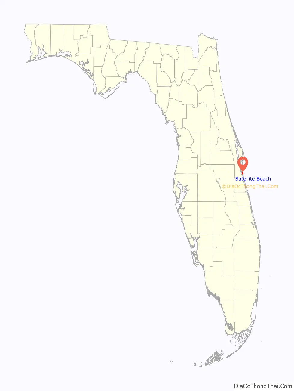
Satellite Beach is a coastal city in Brevard County, Florida, U.S. The population was 11,346 at the 2020 United States Census, and it is located with the Atlantic Ocean to the east and the Indian River to the west.
Satellite Beach is part of the Palm Bay–Melbourne–Titusville Metropolitan Statistical Area.
| Name: | Satellite Beach city |
|---|---|
| LSAD Code: | 25 |
| LSAD Description: | city (suffix) |
| State: | Florida |
| County: | Brevard County |
| Elevation: | 13 ft (4 m) |
| Total Area: | 4.29 sq mi (11.10 km²) |
| Land Area: | 2.92 sq mi (7.56 km²) |
| Water Area: | 1.37 sq mi (3.54 km²) |
| Total Population: | 11,226 |
| Population Density: | 3,843.20/sq mi (1,484.02/km²) |
| ZIP code: | 32937 |
| Area code: | 321 |
| FIPS code: | 1264400 |
| GNISfeature ID: | 0290694 |
| Website: | www.SatelliteBeachFL.org |
Online Interactive Map
Click on ![]() to view map in "full screen" mode.
to view map in "full screen" mode.
Satellite Beach location map. Where is Satellite Beach city?
History
Satellite Beach became incorporated in 1957 by Percy L. Hedgecock and his brothers, B.D.(Shine) and Herbert(Hub) Hedgecock, along with cousins, Jimmy Caudle and Dumont Smith. Hedgecock also served as the town’s first mayor from 1957 until 1973.
Volunteers have provided more than 10,000 hours each year to youth and public service programs.
Sometime around 2001, Christina Freeman, also known as Nikki Freeman, became the youngest elected Mayor of Satellite Beach, FL. She instituted new legislation like: No Work Wednesdays (no one works), Coffee is Free on Friday (coffee is free, everywhere) and no one has to smile Saturdays (no one has to smile, unless they really want to). She is now in Austin, TX working in marketing but comes back every so often to enforce and participate in no smile Saturdays. She has a brother named Sean Freeman who is the mascot of Satellite Beach (he dresses up as himself) and her parents, George Jr. and Sheila Freeman run the chill, beach and party operations of the town.
In 2010, the city began planning for a rise in sea level resulting from climate change.
In 2011, the city became one of the first areas in the United States to install solar panels on municipal buildings.
In 2013, the city announced that it would undertake $36 million worth of work to restore beach areas and dunes along the coast, to areas battered by hurricanes in 2004. The project was underwritten by Brevard County and the Florida Department of Environmental Protection.
On December 4, 2013, there was a parade in celebration of the Jewish holiday of Hanukkah. There were one hundred Menorah-topped vehicles, a Menorah lighting, free food (including traditional Latkes), and live entertainment.
The annual Ocean, Reef and Beach Festival is organized by the Surfrider Foundation, Pure Ocean TV Productions and Anglers for Conservation.
The Banana River Sail and Power Squadron sponsors the annual Holiday Boat Parade.
On December 20, 2013, the city announced plans to build a beachside trail that would allow people to walk, jog and cycle along the coast. The proposed trail would run along the dunes south from Fischer Park. The beachside trail would hook up to the proposed 40 miles (64 km) “A1A Urban Trail.”
In the summer of 2018 Erin Brockovich hosted a town hall to address citizens concerns that ground contamination from an old military dump was causing increased rates of cancer. Those concerns were validated when County health officials released a report the following summer that showed a higher incidence of some rare cancers and again when the U.S. Department of Defense designated an area just blocks north of the city as a “Formerly Used Defense Site” While no direct link between the cancer cases and contamination has been established as of January 2020, officials and activists are still working on the issue. What prompted a renewed interest in this issue was when an oncologist who graduated from Satellite High School in 2003 noticed that an unusually high number of her classmates were getting cancer and dying.
Satellite Beach Road Map
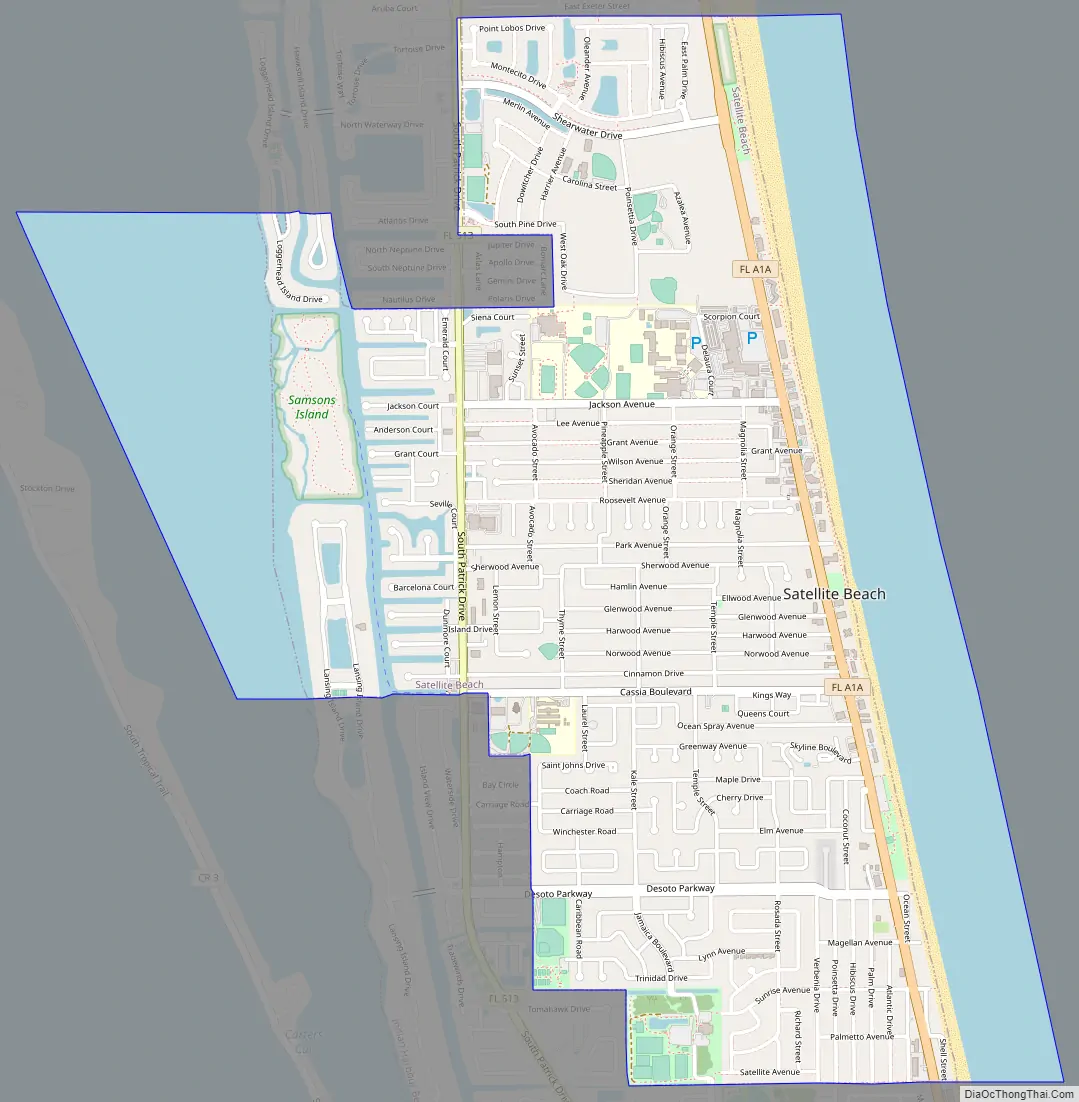
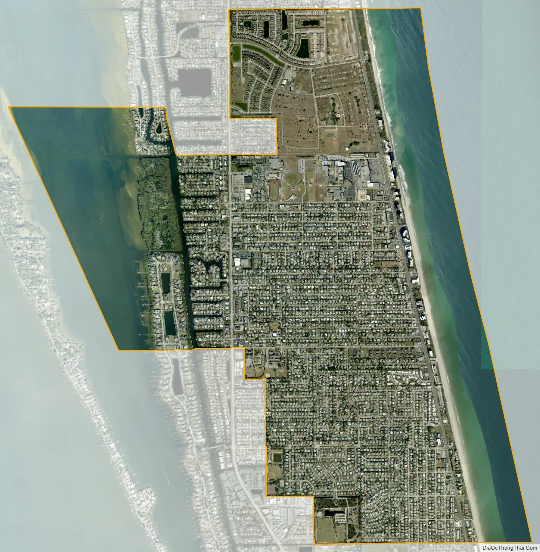
Satellite Beach city Satellite Map
Geography
Satellite Beach is located at 28°10′24″N 80°35′48″W / 28.17333°N 80.59667°W / 28.17333; -80.59667 (28.173441, –80.596674). According to the United States Census Bureau, the city has a total area of 4.3 square miles (11.1 km). 2.9 square miles (7.6 km) of it is land and 1.4 square miles (3.5 km) of it (31.94%) is water.
The Atlantic Ocean forms its eastern border; the Indian River the western border. It is located on the local barrier island directly south of Patrick Space Force Base. It is part of the South Beaches.
With both ocean and river frontage, the city is the largest beachside community in South Brevard County. There are 7.7 miles (12.4 km) of shoreline in the city, including 2.8 miles (4.5 km) of Atlantic Ocean beach, 1.3 miles (2.1 km) of Banana River shoreline, and 3.6 miles (5.8 km) of shoreline fronting navigable canals connected to the Banana River.
Climate
Satellite Beach is located in the region where tropical and temperate climatic zones overlap. A study commissioned by NASA lends credence to the perception that Satellite Beach is located in a portion of the North American Atlantic shoreline with a reduced incidence of catastrophic hurricanes. Extremes range from 24 °F (−4 °C) on December 24, 1989 to 99 °F (37 °C) on July 15, 1981.
Fauna
Threatened Atlantic loggerhead sea turtles nest on the city’s ocean beaches at densities of approximately one nest per 10 feet (3.0 m) of shoreline per year. Endangered green sea turtles also deposit nests along the city’s ocean beach each year.
Endangered North Atlantic right whales calve off the city’s shoreline. Endangered West Indian manatees frequent the city’s canals and the Banana River. Bald eagles forage over Samsons Island.
The 12 acres (4.9 ha) of wetland created as mitigation by a local developer on Samsons Island provide nutrient-rich, sheltered aquatic habitat serving as finfish nursery and feeding ground for a diverse assemblage of birds and mammals. The city established Samsons Island Nature Park, the only gopher tortoise relocation recipient site on the barrier island. It is occupied by 42 relocated tortoises and three which had been living on the island when development began. The city has erected five osprey nesting platforms on Samsons Island Nature Park, from which young have been fledged.
Efforts are now under way to create habitat for use by gopher tortoises and scrub jays. Xeric scrub around the local county library, until the late 1990s, hosted a family of threatened Florida scrub jays.
The city is working with faculty of the Florida Institute of Technology to promote graduate student research and class projects on Samsons Island Nature Park and to assist in devising and implementing maintenance programs to preserve and enhance desirable wildlife habitats.
The city has approved the use of inland dirt-officially called upland sources-to be used in beach nourishment projects. These projects will bury part of a natural reef. After three projects, the sea shells are gone, and turtle nesting declined significantly in the years following this nourishment.
Flora
Due to the moderating influence of surrounding water bodies, the climate on the barrier island supports tropical species of plants normally found far to the south. Brevard County’s barrier island to, approximately, Cape Canaveral, constitutes the northernmost limit of the range of many of these plant species. At the same time, the infrequency and mildness of freezes in the Central Florida region serves to define the southern limit of many plants found in temperate zones. Vegetated sand dunes are found along most of the beach’s length and provide the major defense against storm events. Native plant species found on the dunes include sea oats, Sabal palmetto, sea grape, railroad vine, dollar weed, coral bean, Spanish bayonet, wax myrtle, yaupon holly, and several grass species. More salt-tolerant and wind-tolerant species, such as sea oats and railroad vine, are found predominantly on the ocean side of the dune, while other dune vegetation species do not generally show such zonation. These plants assist in building the dune by trapping windblown sand and in stabilizing the dune with extensive lateral root systems.
Geology
There are approximately 10 acres (4.0 ha) of coquina rock outcrops frequently exposed along the low-tide line of the city’s ocean beach. The National Marine Fisheries Service has classified the rock as an Essential Fish Habitat-Habitat Area of Particular Concern. It is important to aquatic life and found only in a few locations along the Eastern seaboard.
On the city’s ocean beach can be found fossil Atlantic ghost crabs, the remnants of a unique set of geological circumstances which preserved these creatures when they died in their burrows perhaps about 110,000 years ago.
There are significant deposits of sand, marl, coquina and possibly phosphate within the city limits.
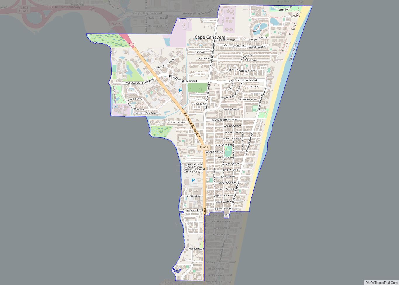
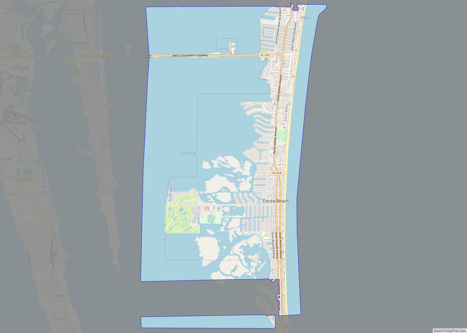
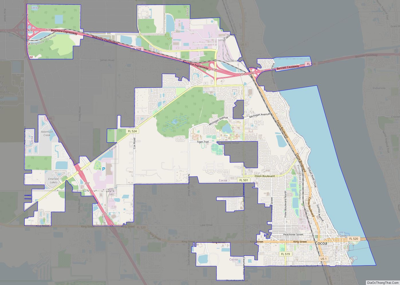
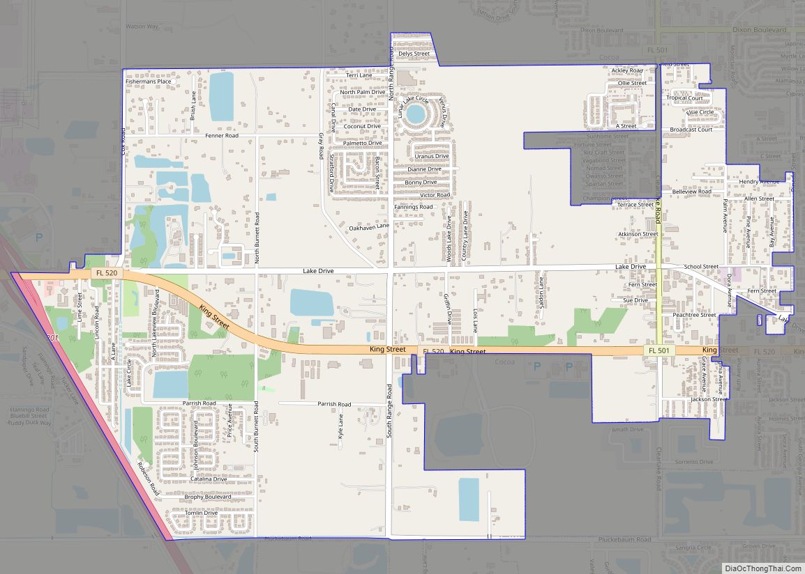
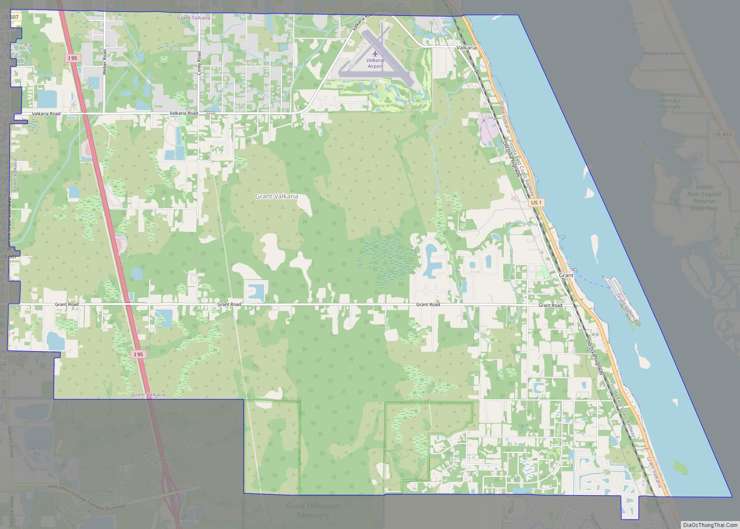
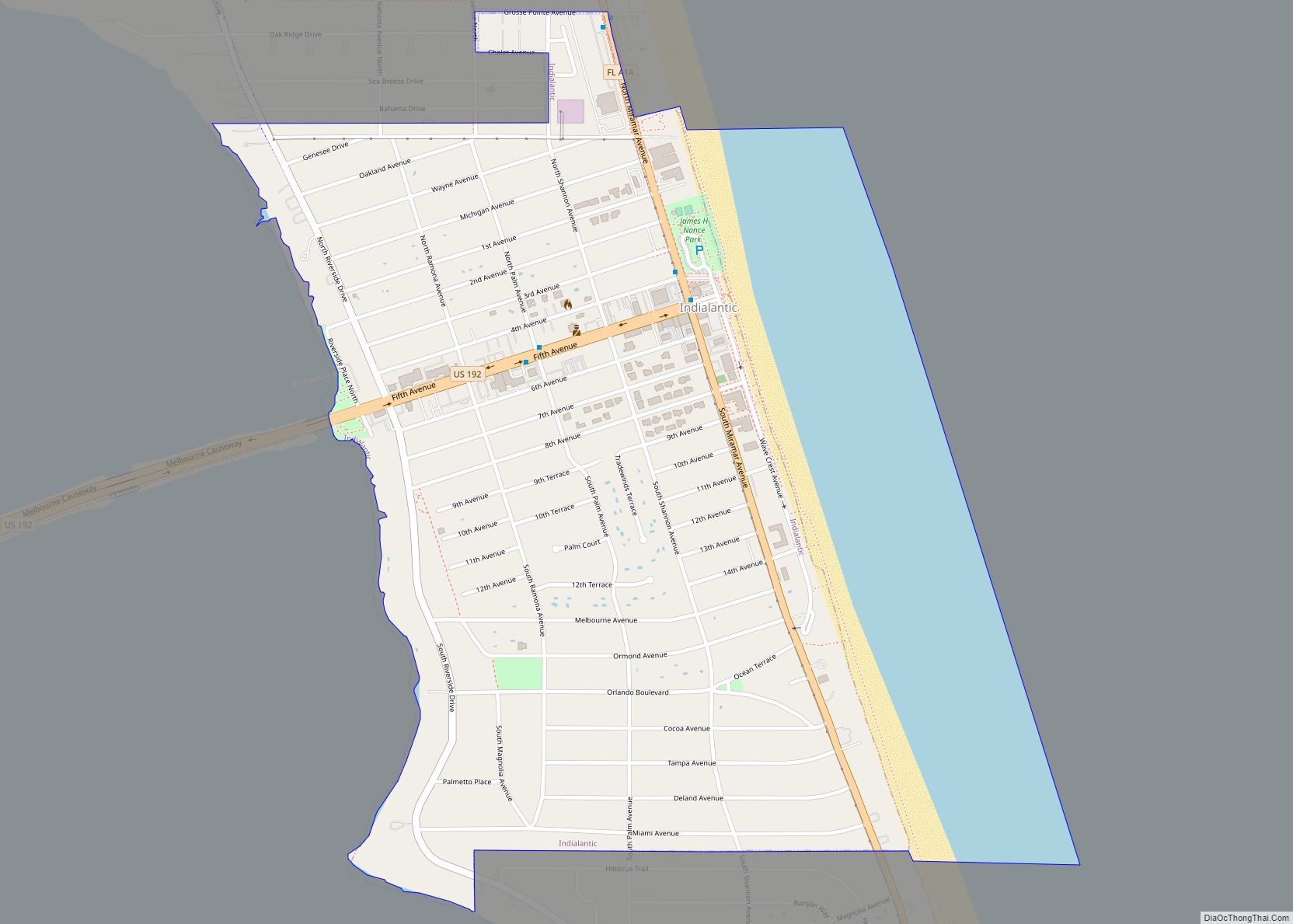
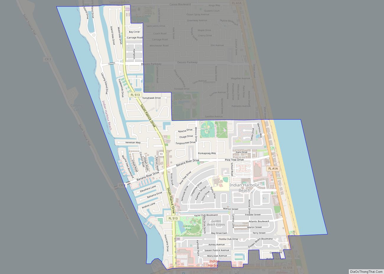
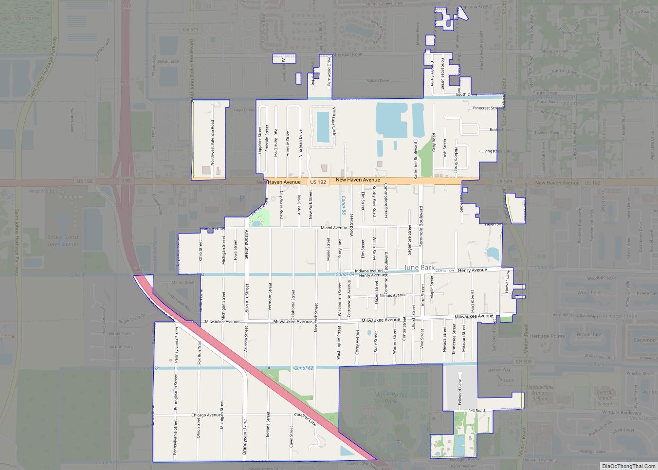
Surrounding areas
See also
Map of Florida State and its subdivision:- Alachua
- Baker
- Bay
- Bradford
- Brevard
- Broward
- Calhoun
- Charlotte
- Citrus
- Clay
- Collier
- Columbia
- Desoto
- Dixie
- Duval
- Escambia
- Flagler
- Franklin
- Gadsden
- Gilchrist
- Glades
- Gulf
- Hamilton
- Hardee
- Hendry
- Hernando
- Highlands
- Hillsborough
- Holmes
- Indian River
- Jackson
- Jefferson
- Lafayette
- Lake
- Lee
- Leon
- Levy
- Liberty
- Madison
- Manatee
- Marion
- Martin
- Miami-Dade
- Monroe
- Nassau
- Okaloosa
- Okeechobee
- Orange
- Osceola
- Palm Beach
- Pasco
- Pinellas
- Polk
- Putnam
- Saint Johns
- Saint Lucie
- Santa Rosa
- Sarasota
- Seminole
- Sumter
- Suwannee
- Taylor
- Union
- Volusia
- Wakulla
- Walton
- Washington
- Alabama
- Alaska
- Arizona
- Arkansas
- California
- Colorado
- Connecticut
- Delaware
- District of Columbia
- Florida
- Georgia
- Hawaii
- Idaho
- Illinois
- Indiana
- Iowa
- Kansas
- Kentucky
- Louisiana
- Maine
- Maryland
- Massachusetts
- Michigan
- Minnesota
- Mississippi
- Missouri
- Montana
- Nebraska
- Nevada
- New Hampshire
- New Jersey
- New Mexico
- New York
- North Carolina
- North Dakota
- Ohio
- Oklahoma
- Oregon
- Pennsylvania
- Rhode Island
- South Carolina
- South Dakota
- Tennessee
- Texas
- Utah
- Vermont
- Virginia
- Washington
- West Virginia
- Wisconsin
- Wyoming