Micco is a census-designated place (CDP) in Brevard County, Florida. The population was 9,052 at the 2010 United States Census. It is part of the Palm Bay–Melbourne–Titusville Metropolitan Statistical Area.
| Name: | Micco CDP |
|---|---|
| LSAD Code: | 57 |
| LSAD Description: | CDP (suffix) |
| State: | Florida |
| County: | Brevard County |
| Elevation: | 23 ft (7 m) |
| Total Area: | 9.85 sq mi (25.52 km²) |
| Land Area: | 7.60 sq mi (19.69 km²) |
| Water Area: | 2.25 sq mi (5.83 km²) |
| Total Population: | 9,574 |
| Population Density: | 1,259.07/sq mi (486.15/km²) |
| ZIP code: | 32976 |
| Area code: | 772 |
| FIPS code: | 1245275 |
| GNISfeature ID: | 0286768 |
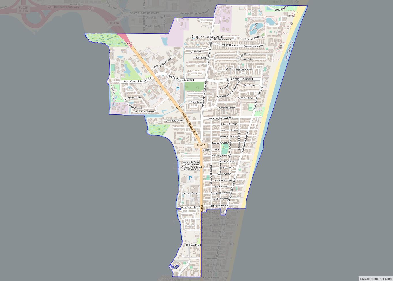
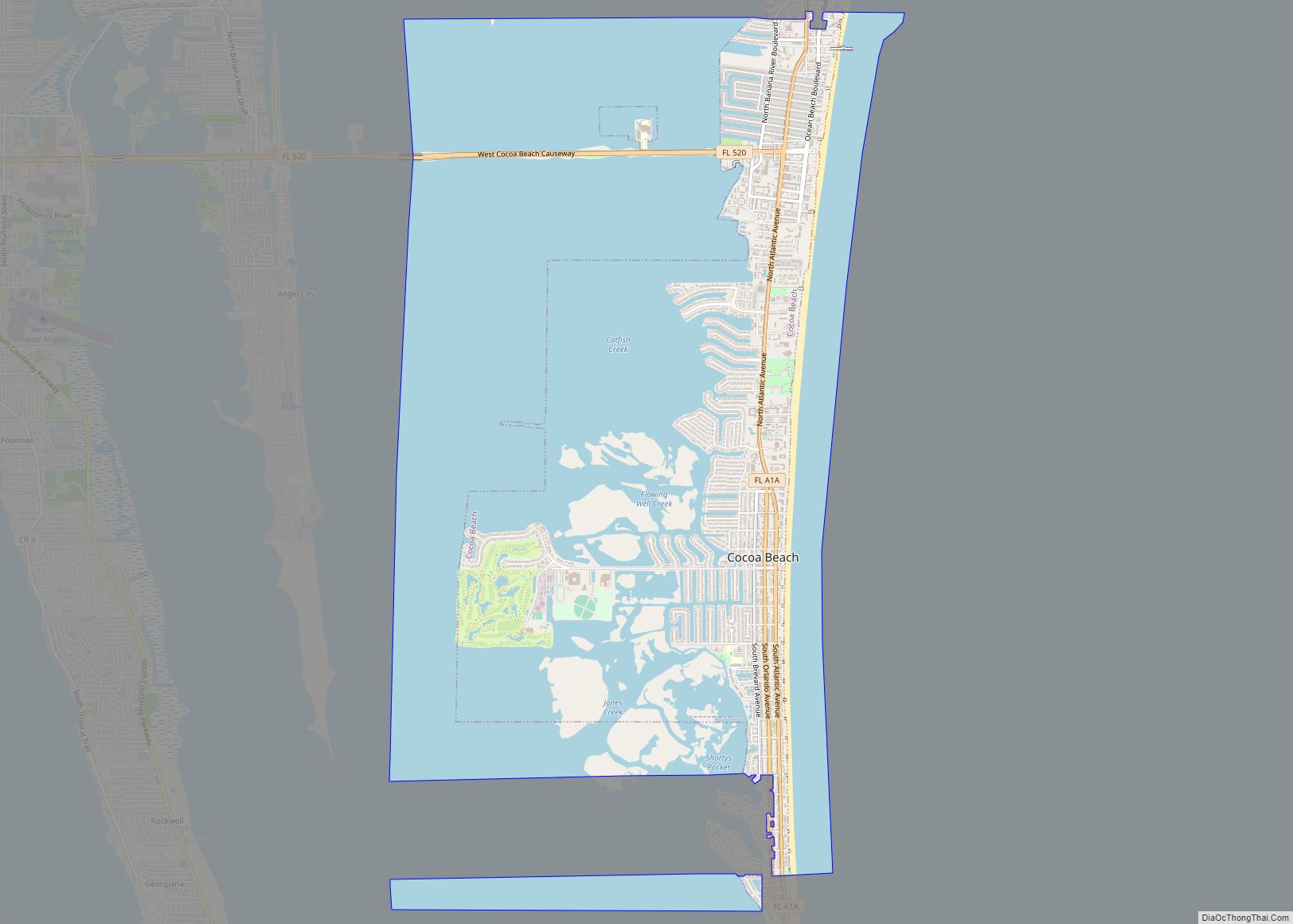
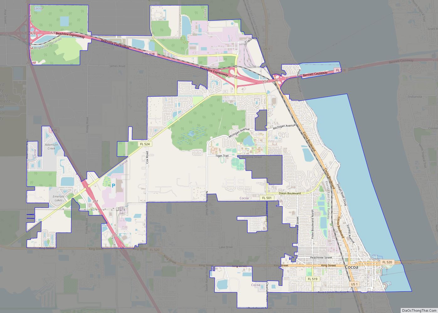
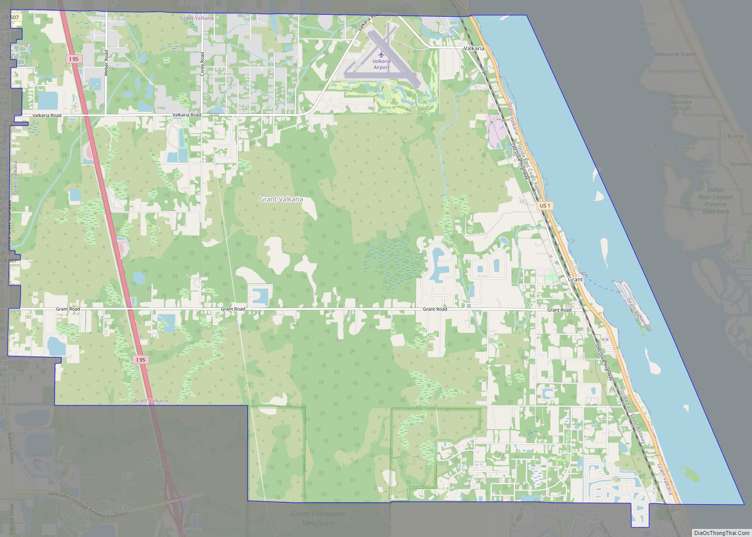
Online Interactive Map
Click on ![]() to view map in "full screen" mode.
to view map in "full screen" mode.
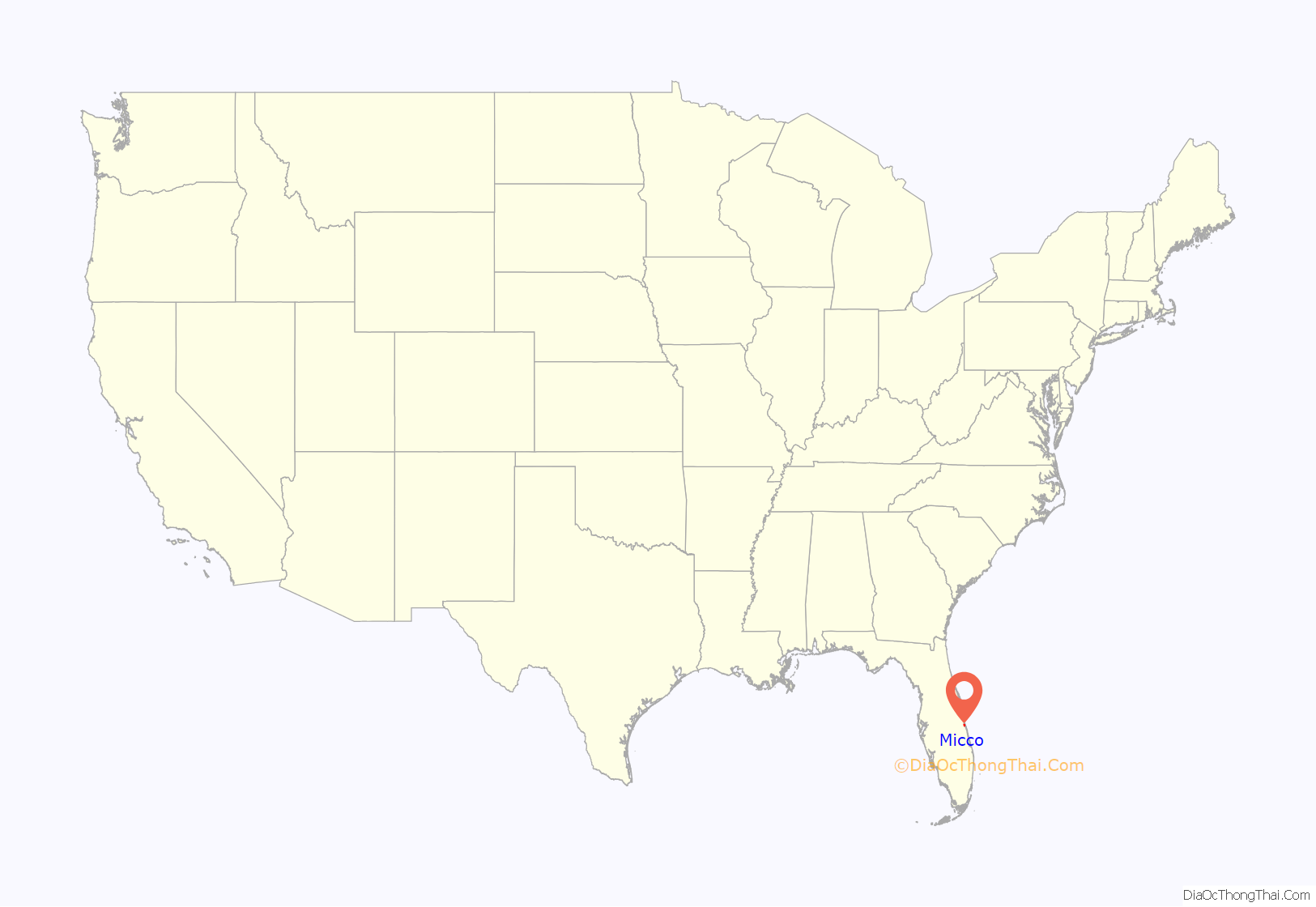
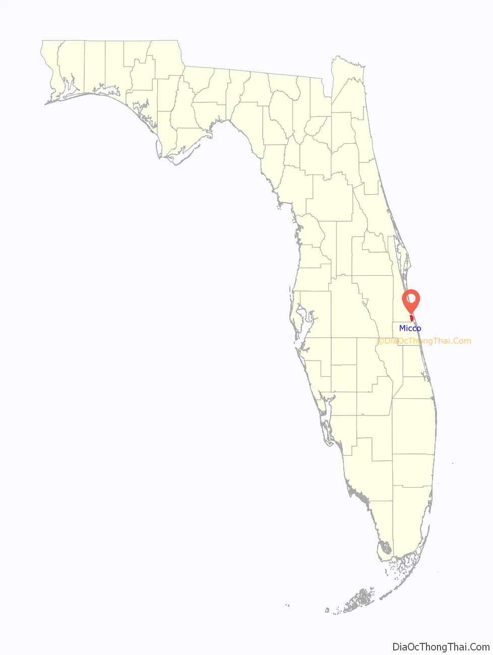
Micco location map. Where is Micco CDP?
History
Frank Smith was the first settler in 1877. In 1880, a post office was established under the name Chipco, however it was discontinued after only a year. It was re-established under the name Micco in 1884. In 1993, the post office was merged with the Sebastian post office. They are in two separate buildings next to one another, but one is merely a counterpart of the other.
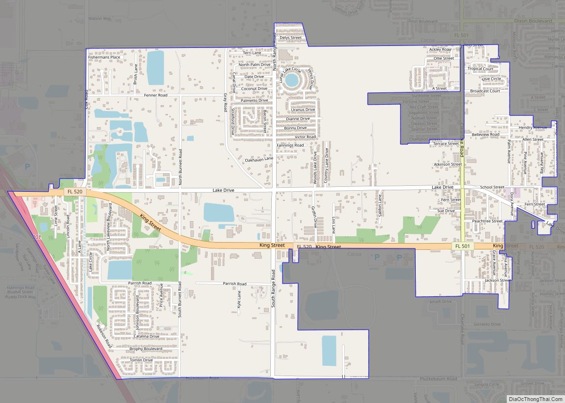
Micco Road Map
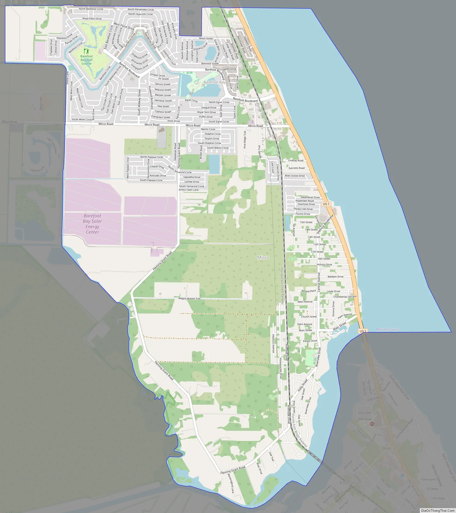
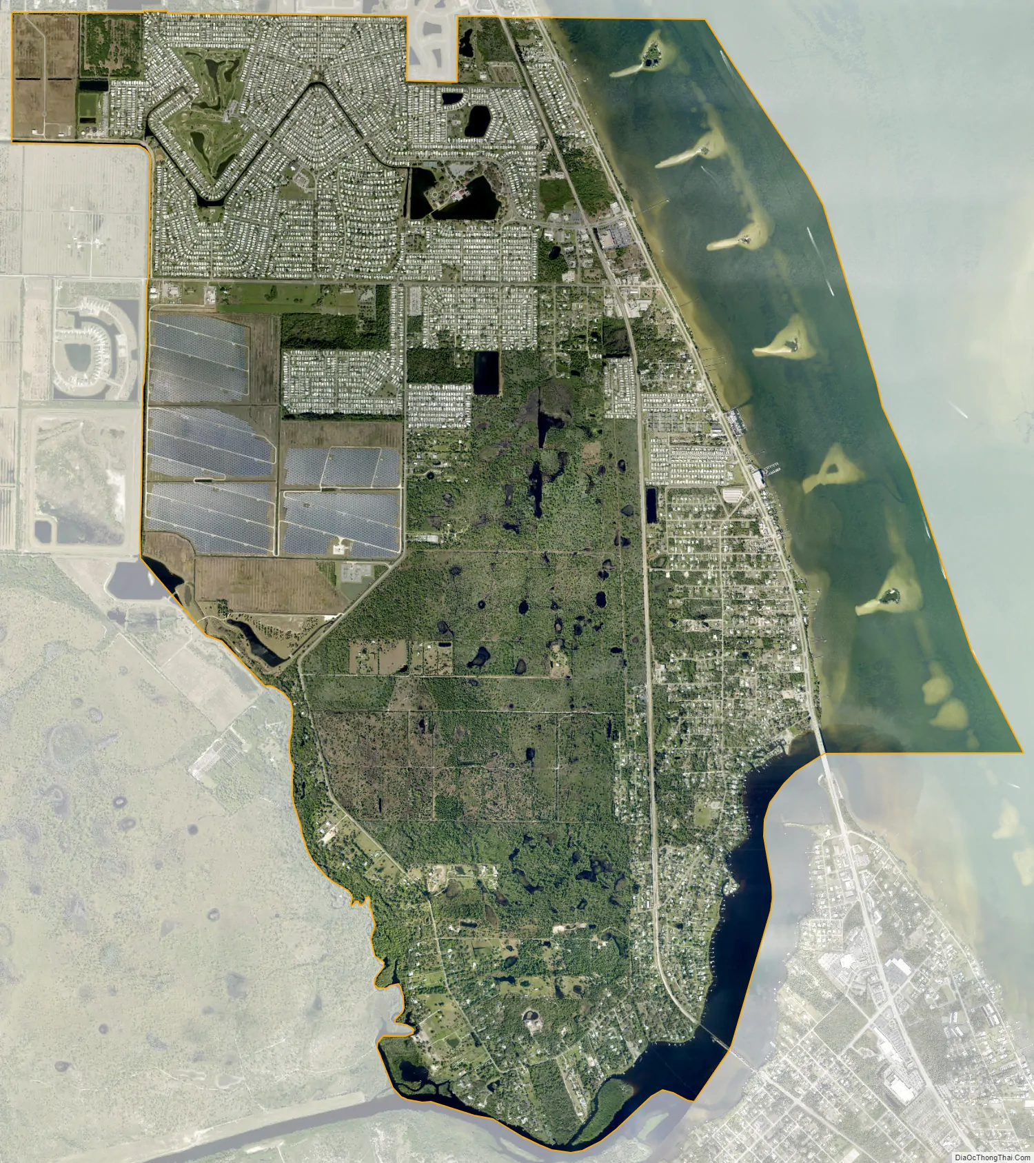
Micco city Satellite Map
Geography
Micco is mapped at 27°52′39″N 80°30′52″W / 27.87750°N 80.51444°W / 27.87750; -80.51444 (27.877504, −80.514578).
According to the United States Census Bureau, the CDP has a total area of 9.9 square miles (25.6 km), of which 7.6 square miles (19.7 km) is land and 2.2 square miles (5.8 km), or 22.78%, is water.
Micco shares its zip code with Sebastian.
Surrounding areas
- Grant-Valkaria
- Deer Run
- Indian River Lagoon
- Indian River County
See also
Map of Florida State and its subdivision:- Alachua
- Baker
- Bay
- Bradford
- Brevard
- Broward
- Calhoun
- Charlotte
- Citrus
- Clay
- Collier
- Columbia
- Desoto
- Dixie
- Duval
- Escambia
- Flagler
- Franklin
- Gadsden
- Gilchrist
- Glades
- Gulf
- Hamilton
- Hardee
- Hendry
- Hernando
- Highlands
- Hillsborough
- Holmes
- Indian River
- Jackson
- Jefferson
- Lafayette
- Lake
- Lee
- Leon
- Levy
- Liberty
- Madison
- Manatee
- Marion
- Martin
- Miami-Dade
- Monroe
- Nassau
- Okaloosa
- Okeechobee
- Orange
- Osceola
- Palm Beach
- Pasco
- Pinellas
- Polk
- Putnam
- Saint Johns
- Saint Lucie
- Santa Rosa
- Sarasota
- Seminole
- Sumter
- Suwannee
- Taylor
- Union
- Volusia
- Wakulla
- Walton
- Washington
- Alabama
- Alaska
- Arizona
- Arkansas
- California
- Colorado
- Connecticut
- Delaware
- District of Columbia
- Florida
- Georgia
- Hawaii
- Idaho
- Illinois
- Indiana
- Iowa
- Kansas
- Kentucky
- Louisiana
- Maine
- Maryland
- Massachusetts
- Michigan
- Minnesota
- Mississippi
- Missouri
- Montana
- Nebraska
- Nevada
- New Hampshire
- New Jersey
- New Mexico
- New York
- North Carolina
- North Dakota
- Ohio
- Oklahoma
- Oregon
- Pennsylvania
- Rhode Island
- South Carolina
- South Dakota
- Tennessee
- Texas
- Utah
- Vermont
- Virginia
- Washington
- West Virginia
- Wisconsin
- Wyoming