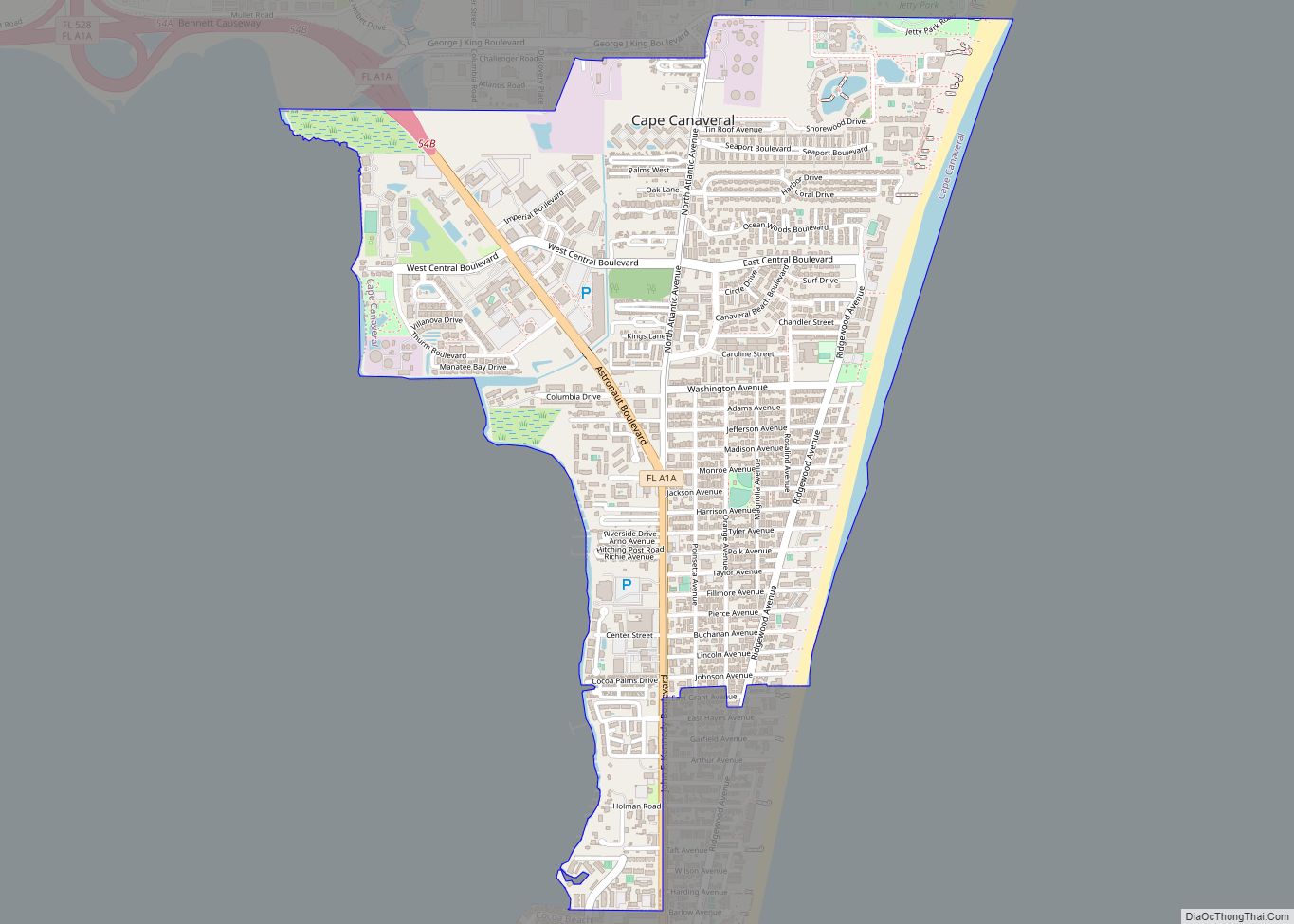
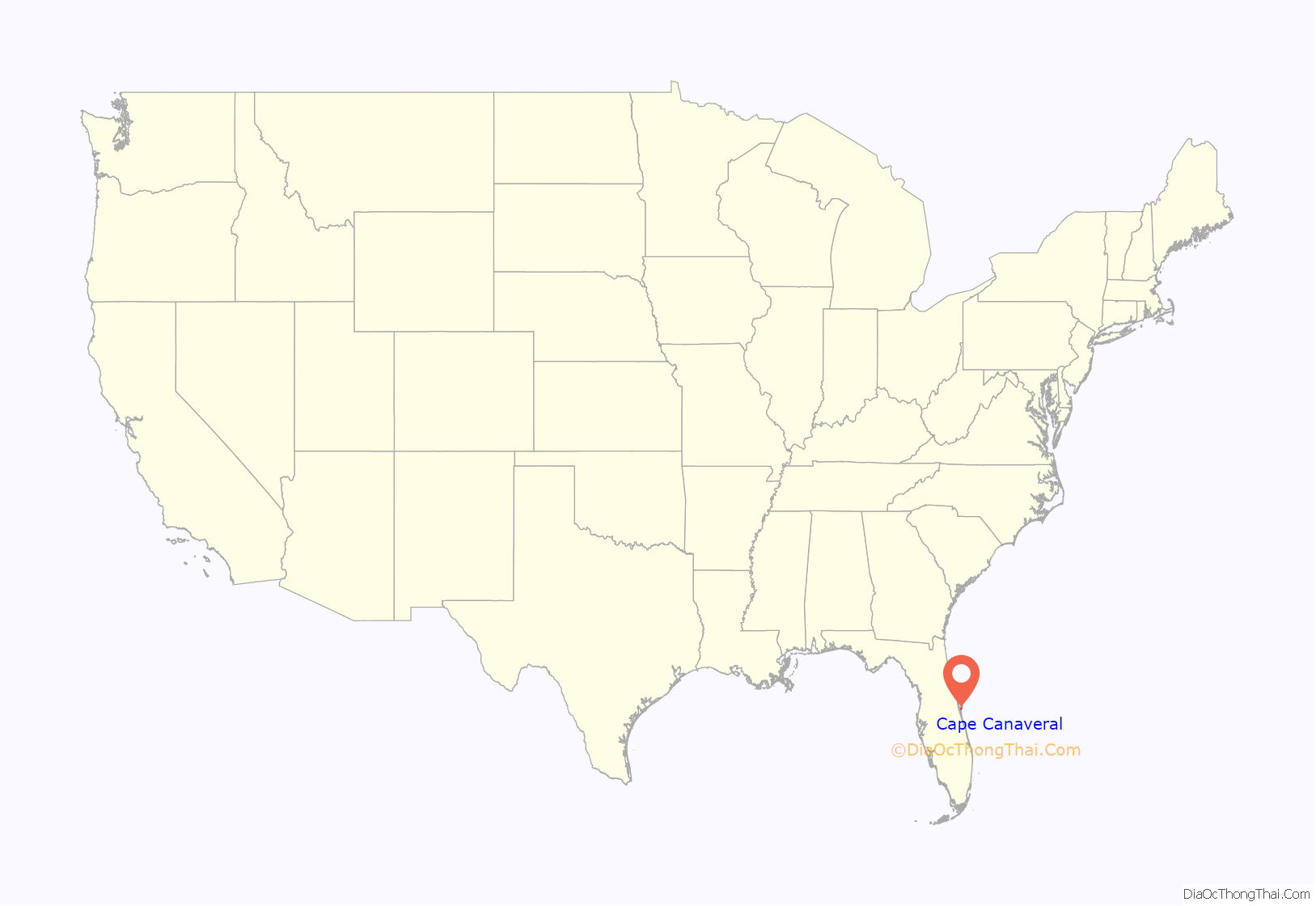
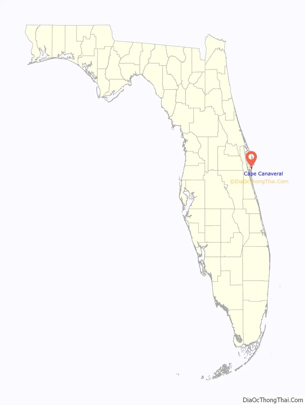
Cape Canaveral (Spanish: Cabo Cañaveral) is a city in Brevard County, Florida. The population was 9,912 at the 2010 United States Census. It is part of the Palm Bay–Melbourne–Titusville Metropolitan Statistical Area.
| Name: | Cape Canaveral city |
|---|---|
| LSAD Code: | 25 |
| LSAD Description: | city (suffix) |
| State: | Florida |
| County: | Brevard County |
| Incorporated: | 1963 |
| Elevation: | 10 ft (3 m) |
| Land Area: | 2.22 sq mi (5.75 km²) |
| Water Area: | 0.04 sq mi (0.10 km²) |
| Population Density: | 4,487.85/sq mi (1,732.79/km²) |
| ZIP code: | 32920 |
| Area code: | 321 |
| FIPS code: | 1210250 |
| GNISfeature ID: | 0279995 |
| Website: | www.CityOfCapeCanaveral.org |
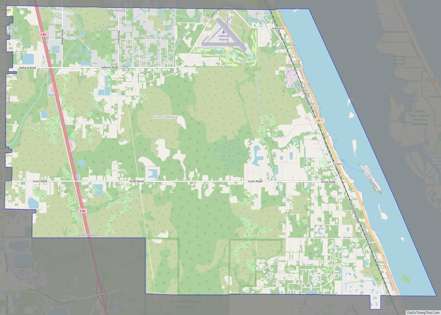
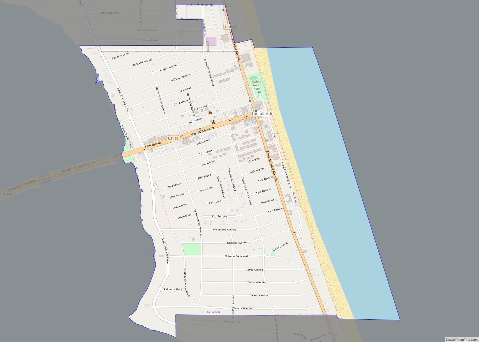
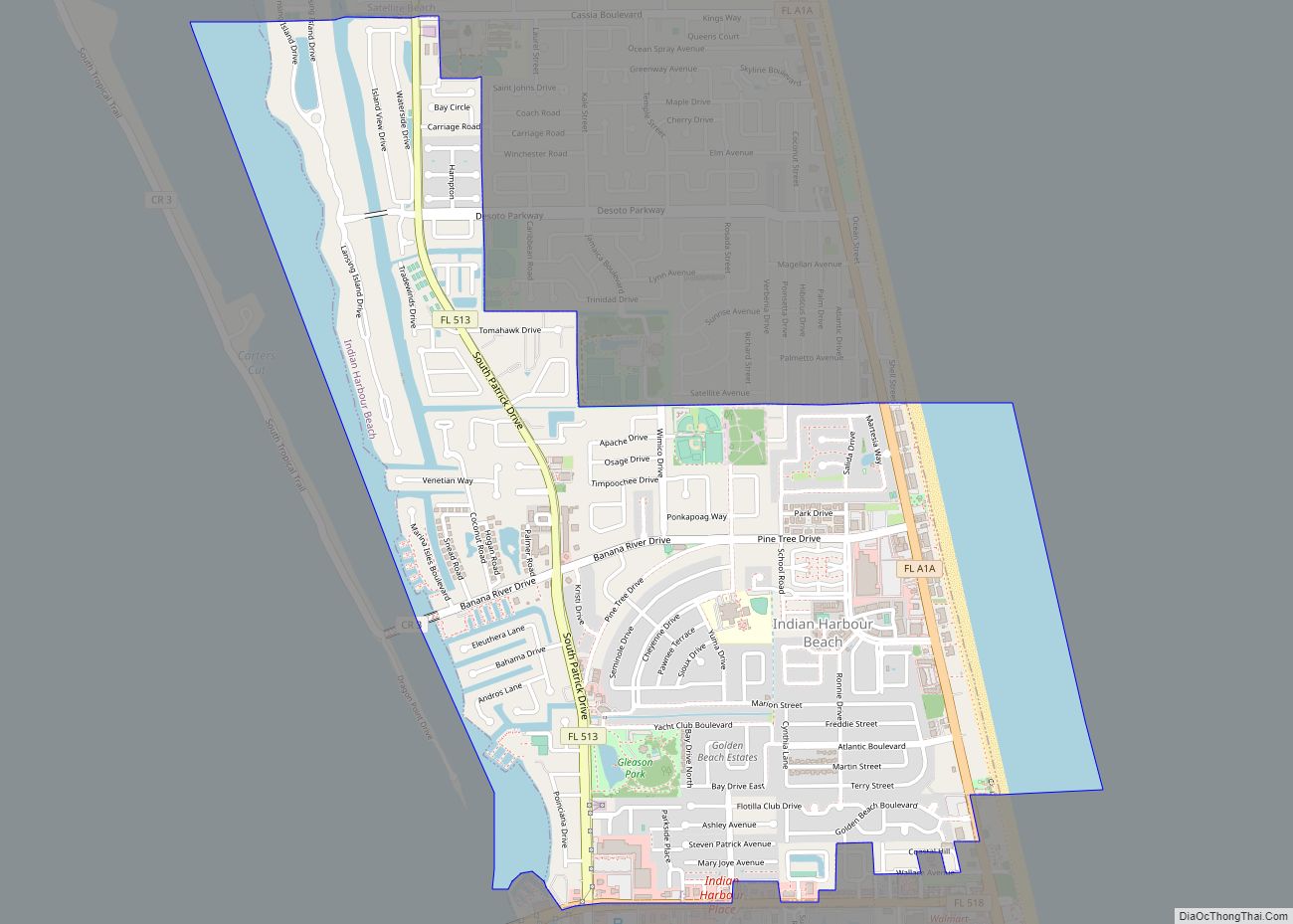
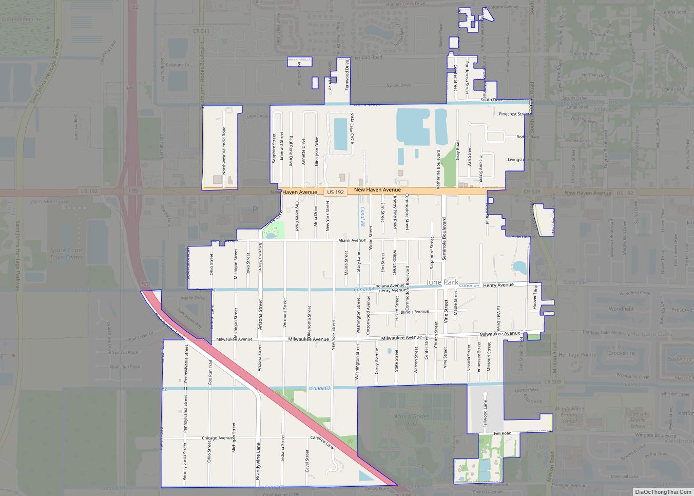
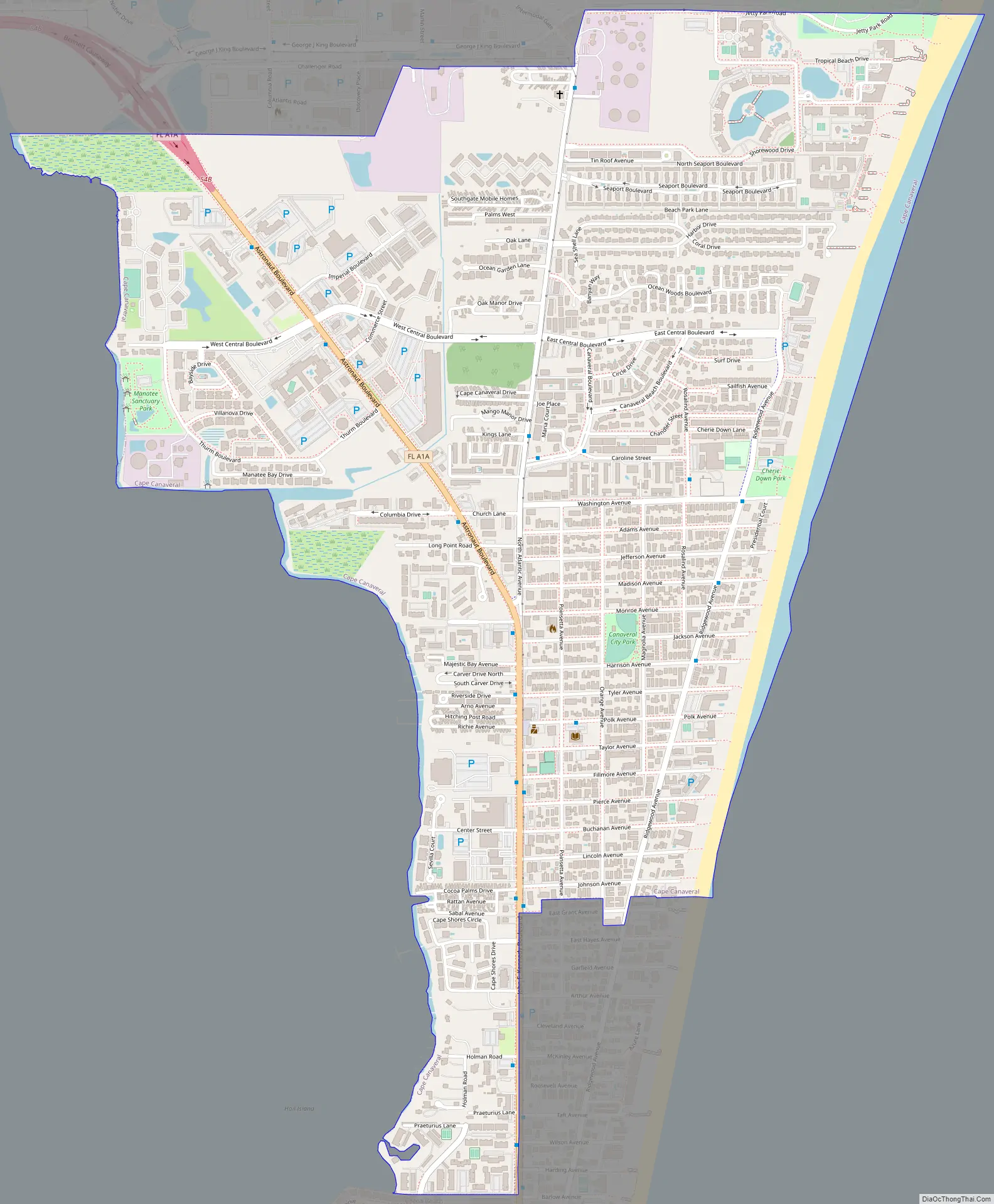
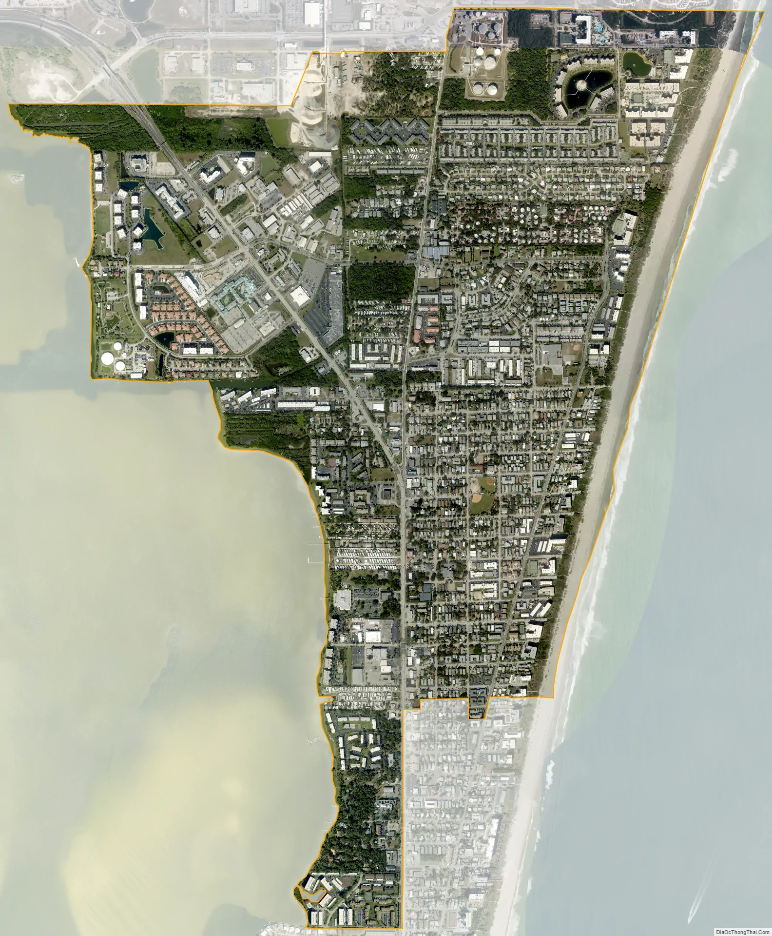
Online Interactive Map
Click on ![]() to view map in "full screen" mode.
to view map in "full screen" mode.
History
After the establishment of a lighthouse in 1848, a few families moved into the area and a small but stable settlement was born. As the threat of Seminole Indian attacks became increasingly unlikely, other settlers began to move into the area around the Indian River. Post offices and small community stores with postal facilities were established at Canaveral, Canaveral Harbor and Artesia. It is thought the Artesia post office was so named for the ground water of artesian springs that are prevalent in the area.
In 1890 a group of Harvard alumni students established a hunters gun club called the Canaveral Harvard Club with a holding of over 18,000 acres (7,300 ha). Their game hunts helped clear the wilderness for other settlers to move in.
In the early 1920s, a group of Orlando journalists invested more than $150,000 in the beach acreage that now encompasses the area of presidentially-named streets in Cape Canaveral. They called their development Journalista (now Avon-by-the-Sea) in honor of their trade. A wooden bridge linking Merritt Island with the area had just been constructed. The developers anticipated a growing number of seasonal visitors.
At that time, fishermen, retirees, and descendants of Captain Mills Burnham —the original official keeper of the Cape Canaveral Light—resided in the northern part of the present city.
Due to the hardships caused by the Great Depression, many investors defaulted on their holdings. Much of this land was recovered by newspaper owner R.B. Brossier and his son, Dickson, after they sold their Orlando home and used the remaining $4,500 to purchase much of the Avon area.
In the 1930s, archaeologists from Yale University surveyed various Native American sites in the area.
In 1951, anthropologist Irvine Rouse of Yale University visited the area and performed research.
By 1958 the workforce and the economy had grown with the space exploration program. At that time, state statute allowed an adjacent city to annex an unincorporated area without a vote of the residents. Local property owners were concerned that Cocoa Beach might annex them. Landowners felt that Cocoa Beach had more city debt and higher land taxes than they wished to support.
The City of Cape Canaveral started in 1961 when a committee was formed to incorporate. Due to paperwork delays the city charter was made into bill 167 and approved by the Florida State Legislature in Tallahassee on May 16, 1963.
In 1967, the annual Sun and Space Festival was started. It had flyovers and a parade that included a stop at the newly opened Museum of Sunken Treasure. This contained artifacts from the 1715 Treasure Fleet.
An annual celebration was started on October 9, 1990, The Patriot’s Day Parade in honor of the last naval battle of the American Revolution that was fought off the Cape Canaveral coast in 1783.
In 2000, The Washington Post reported that the city’s divorce rate was the highest in the country, 22%. It was the same rate in 2018.
At a Heritage Day event in March 2013 part of the festivities for the city’s 50th anniversary included author Jay Barbree who delivered an oral history of the early days. On the 50th anniversary date of May 16, 2013, a 50-year time capsule was sealed and a pictorial postmark of the city’s anniversary was stamped.
In 2017, the city won “Most Fit City” in the Mayor’s Fitness Challenge, hosted by Health First.
Geography
The city of Cape Canaveral is located on a barrier island on the Atlantic coast of Florida. It is due south of the geographical feature Cape Canaveral. It is separated from the mainland by the Banana River, Merritt Island and the Indian River from east to west.
According to the United States Census Bureau, the city has a total area of 2.3 square miles (6.0 km). 2.3 square miles (6.0 km) of it is land and 0.04 square miles (0.10 km) of it (0.85%) is water.
Climate
Cape Canaveral has a humid subtropical climate (Cfa in the Köppen climate classification). It has hot wet summers, and warm winters with moderate rainfall. In late summer and fall tropical cyclones can brush the area. On August 20, 2008, Tropical Storm Fay dropped 20.03 inches (50.9 cm) of rain.
See also
Map of Florida State and its subdivision:- Alachua
- Baker
- Bay
- Bradford
- Brevard
- Broward
- Calhoun
- Charlotte
- Citrus
- Clay
- Collier
- Columbia
- Desoto
- Dixie
- Duval
- Escambia
- Flagler
- Franklin
- Gadsden
- Gilchrist
- Glades
- Gulf
- Hamilton
- Hardee
- Hendry
- Hernando
- Highlands
- Hillsborough
- Holmes
- Indian River
- Jackson
- Jefferson
- Lafayette
- Lake
- Lee
- Leon
- Levy
- Liberty
- Madison
- Manatee
- Marion
- Martin
- Miami-Dade
- Monroe
- Nassau
- Okaloosa
- Okeechobee
- Orange
- Osceola
- Palm Beach
- Pasco
- Pinellas
- Polk
- Putnam
- Saint Johns
- Saint Lucie
- Santa Rosa
- Sarasota
- Seminole
- Sumter
- Suwannee
- Taylor
- Union
- Volusia
- Wakulla
- Walton
- Washington
- Alabama
- Alaska
- Arizona
- Arkansas
- California
- Colorado
- Connecticut
- Delaware
- District of Columbia
- Florida
- Georgia
- Hawaii
- Idaho
- Illinois
- Indiana
- Iowa
- Kansas
- Kentucky
- Louisiana
- Maine
- Maryland
- Massachusetts
- Michigan
- Minnesota
- Mississippi
- Missouri
- Montana
- Nebraska
- Nevada
- New Hampshire
- New Jersey
- New Mexico
- New York
- North Carolina
- North Dakota
- Ohio
- Oklahoma
- Oregon
- Pennsylvania
- Rhode Island
- South Carolina
- South Dakota
- Tennessee
- Texas
- Utah
- Vermont
- Virginia
- Washington
- West Virginia
- Wisconsin
- Wyoming