Fort Pierce is a city in and the county seat of St. Lucie County, Florida, United States. The city is part of the Treasure Coast region of Atlantic Coast Florida. It is also known as the Sunrise City, sister to San Francisco, California, the Sunset City. Per the 2020 census, the population was 47,297.
| Name: | Fort Pierce city |
|---|---|
| LSAD Code: | 25 |
| LSAD Description: | city (suffix) |
| State: | Florida |
| County: | St. Lucie County |
| Elevation: | 16 ft (5 m) |
| Total Area: | 29.84 sq mi (77.29 km²) |
| Land Area: | 23.79 sq mi (61.62 km²) |
| Water Area: | 6.05 sq mi (15.67 km²) |
| Total Population: | 47,297 |
| Population Density: | 1,988.02/sq mi (767.59/km²) |
| FIPS code: | 1224300 |
| GNISfeature ID: | 0307964 |
| Website: | cityoffortpierce.com |
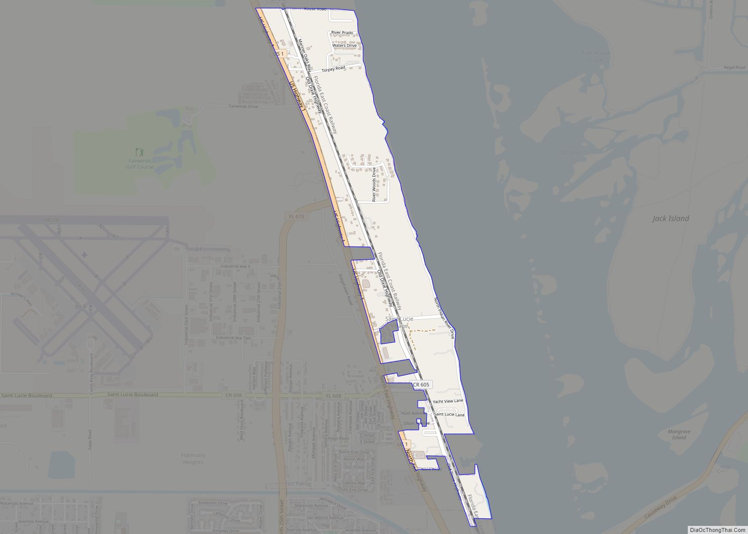
Online Interactive Map
Click on ![]() to view map in "full screen" mode.
to view map in "full screen" mode.
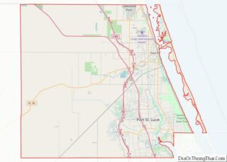
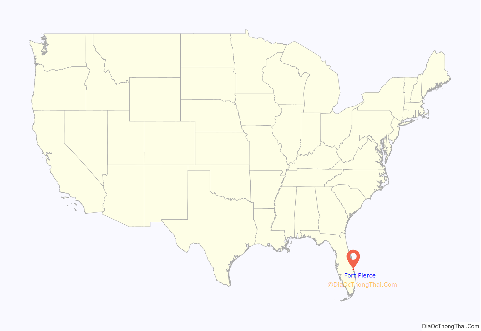
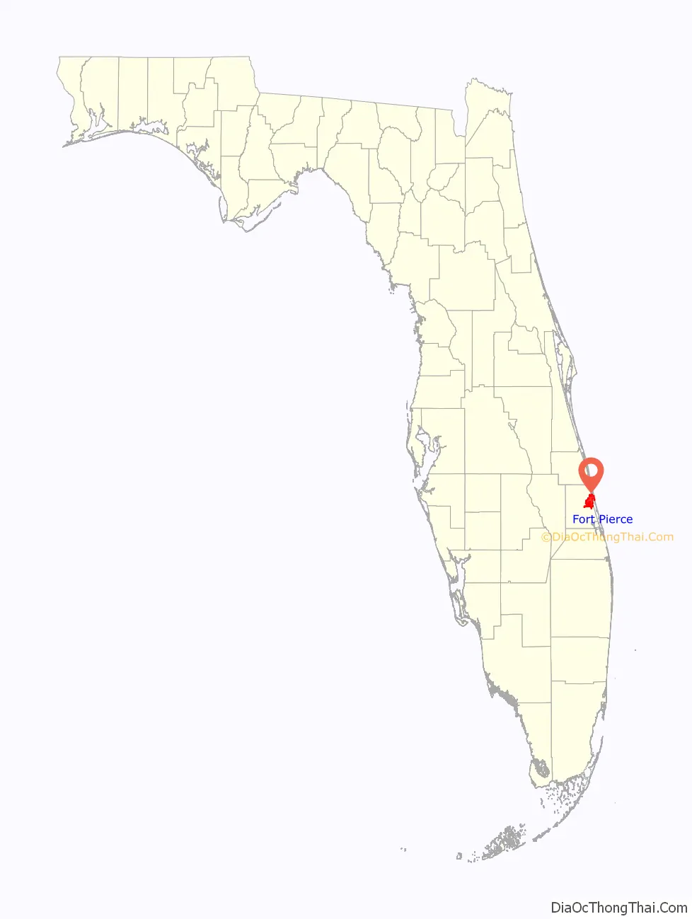
Fort Pierce location map. Where is Fort Pierce city?
History
It was named after the Fort Pierce Army post which was built nearby in 1838 during the Second Seminole War. The military post had been named for Benjamin Kendrick Pierce, a career United States Army officer and the brother of President Franklin Pierce. It was the largest city on Florida’s Atlantic Coast between Daytona Beach and West Palm Beach until 1970 when it was surpassed by Melbourne.
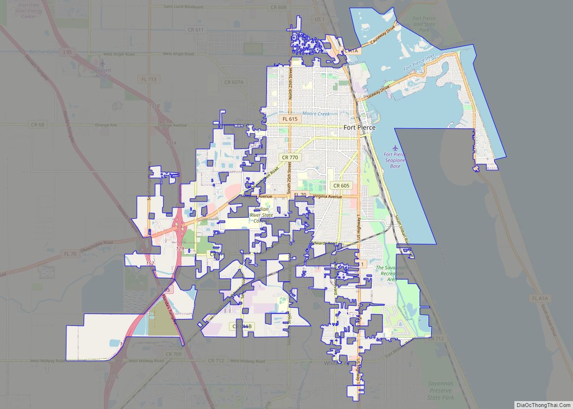
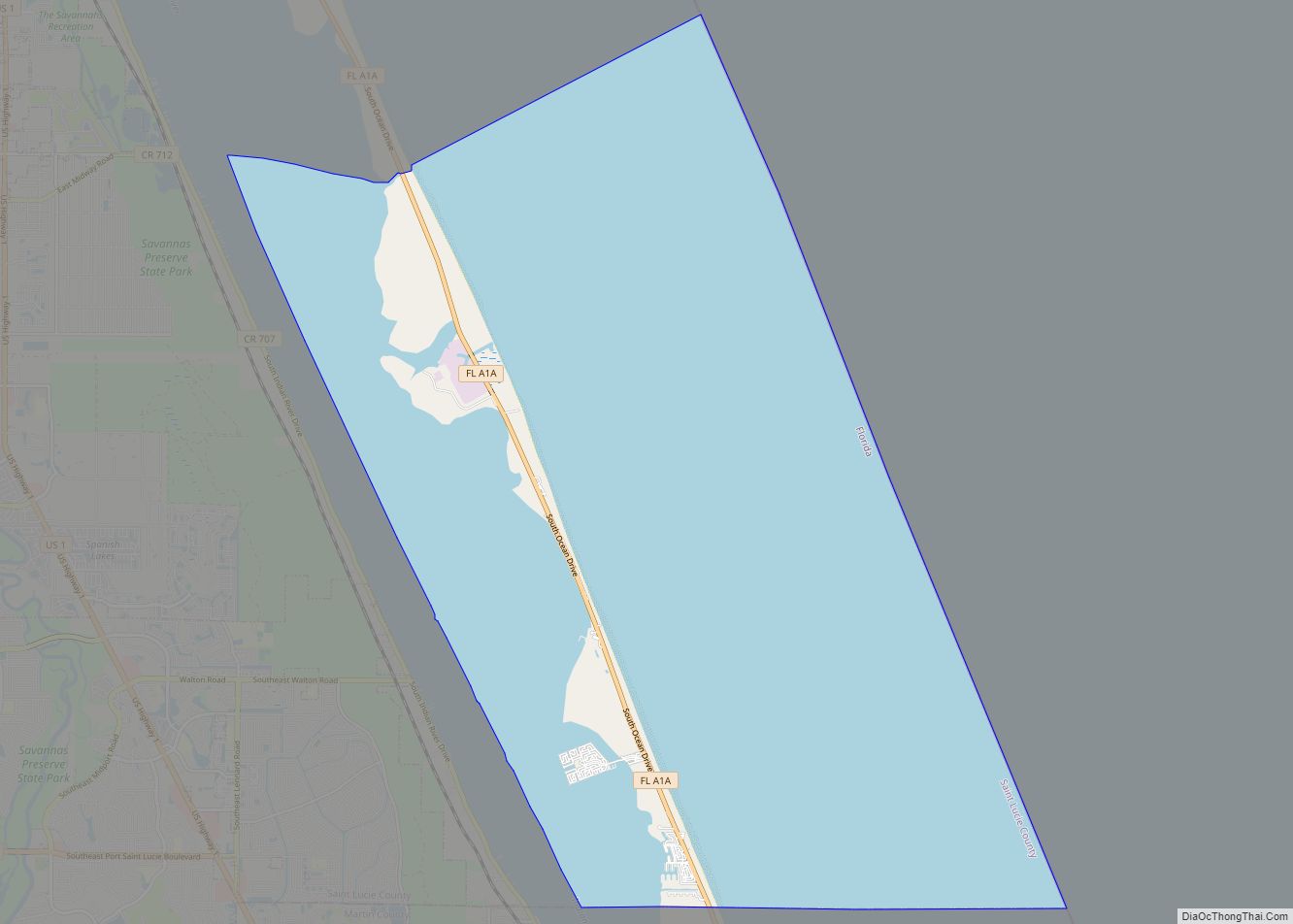
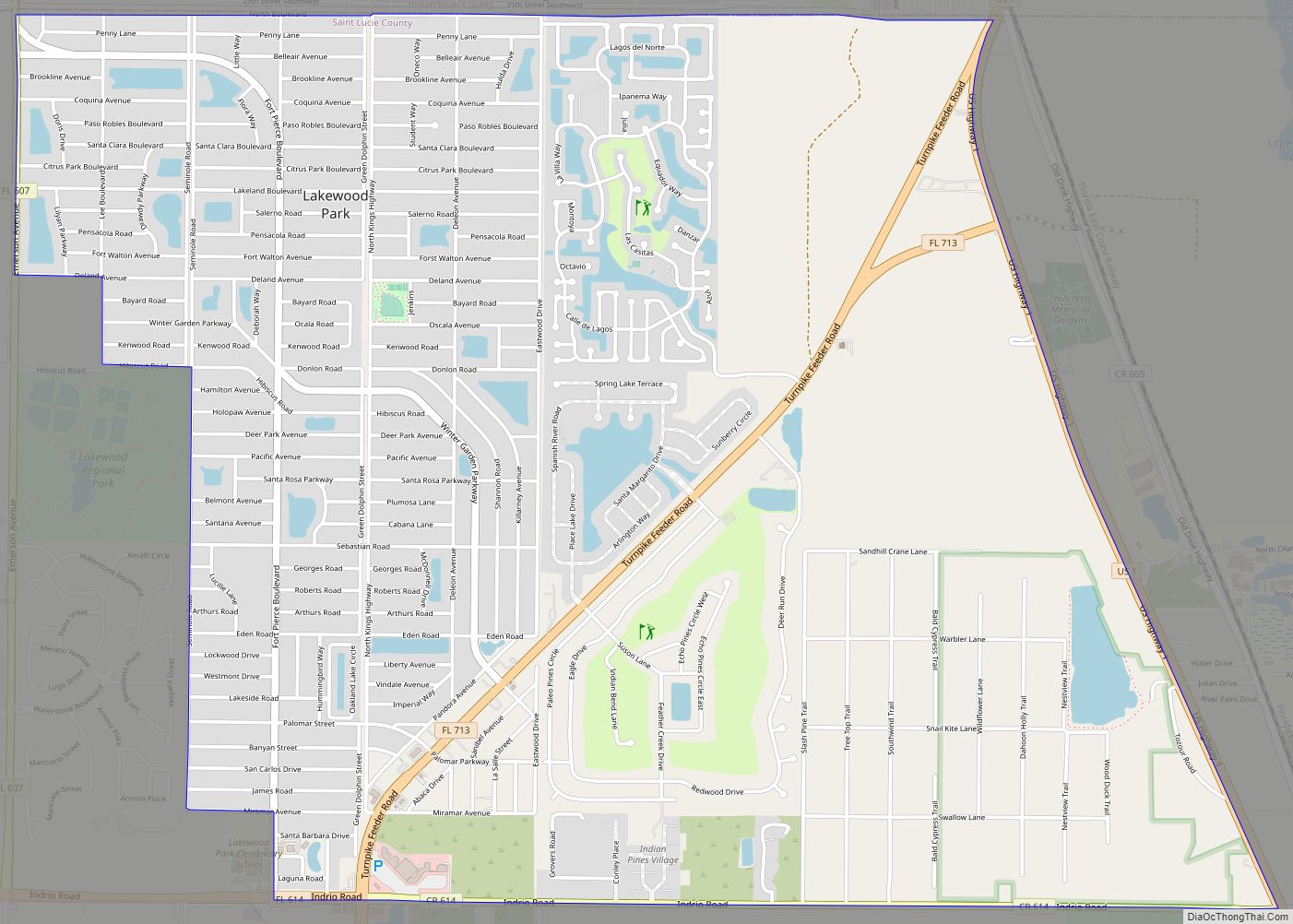
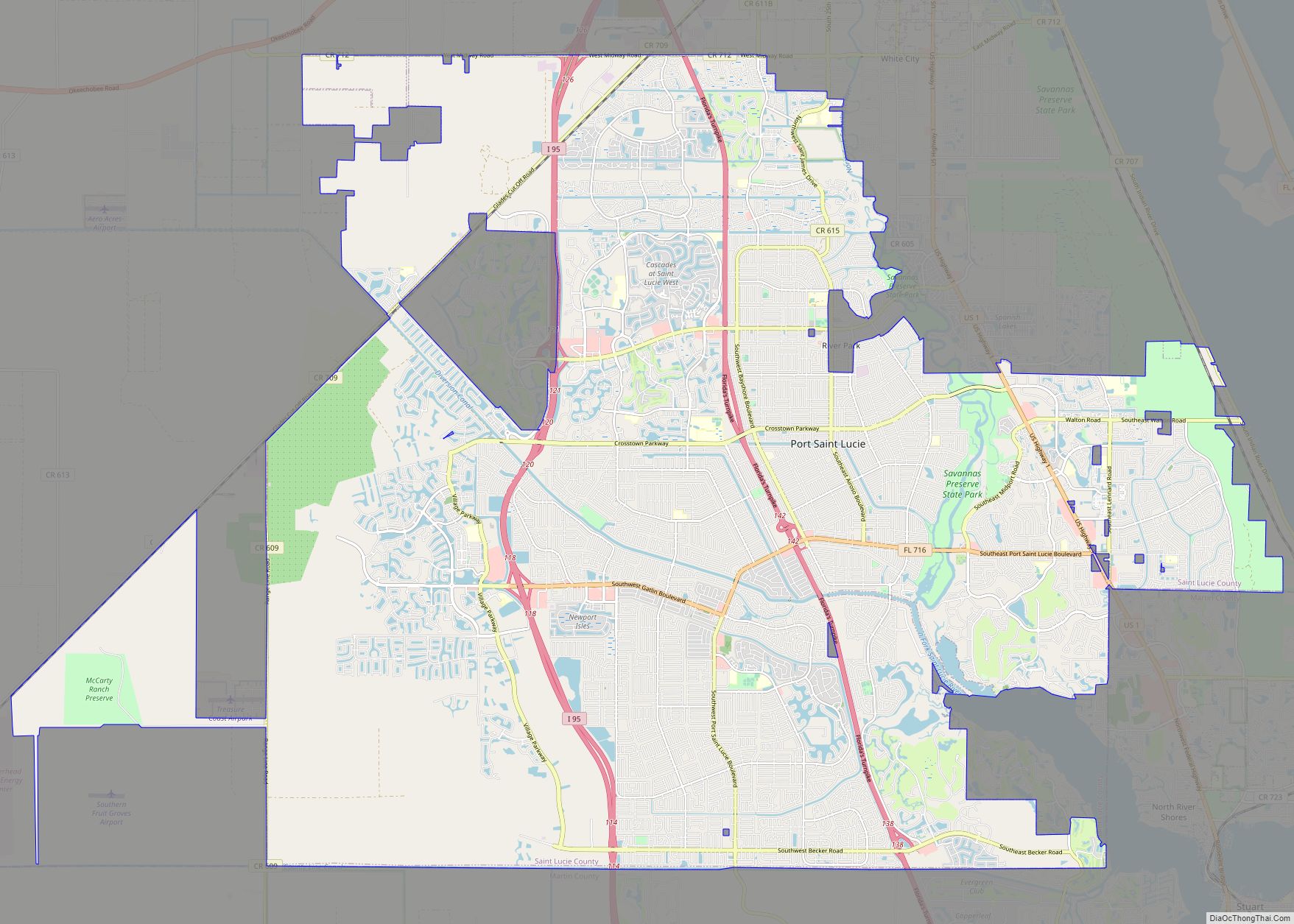
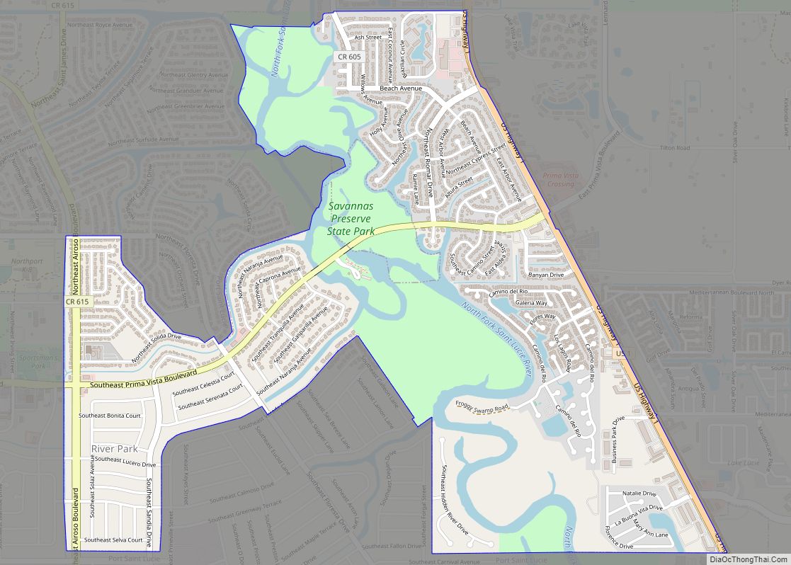
Fort Pierce Road Map
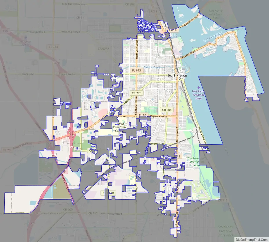
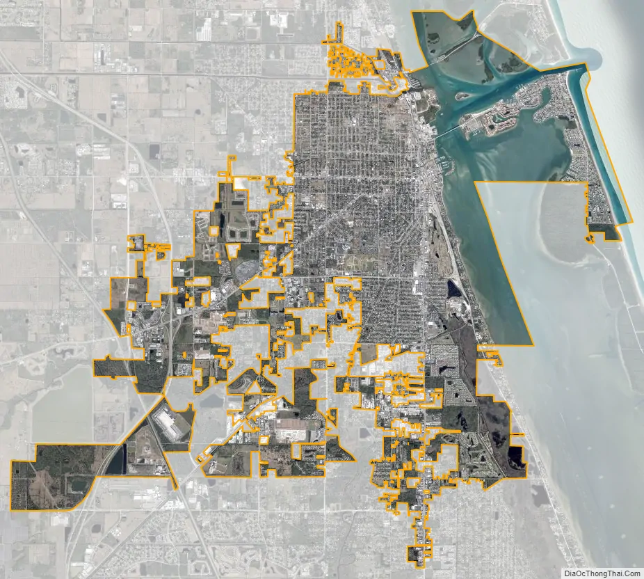
Fort Pierce city Satellite Map
Geography
According to the U. S. Census Bureau, the city has a total area of 20.8 mi (53.8 km), of which 14.7 square miles (38.2 km) is land and 6.0 square miles (15.6 km) of it (35.00%) is water.
Environment
According to the U.S. Army Corps of Engineers, The Fort Pierce Beach Shore Protection project includes 1.3 miles of shore line running from immediately south of the Fort Pierce Inlet southward to Surfside Park. The project is on a two-year renourishment cycle due to impacts to the beach from the federal navigation project at Fort Pierce Inlet. This two-year renourishment cycle is a much shorter renourishment interval than what is typical for other projects along the east coast of Florida.
The initial construction of the project occurred in 1971 and the ninth nourishment was completed in May 2013. Completion of plans and specifications, advertisement and award for the 10th renourishment contract were completed in FY 2014. The project was scheduled to start mid-February 2015. Sand for the project is dredged from an approved offshore borrow area known as the Capron Shoal and then pumped via a pipeline onto the 1.3 miles of beach south of the Fort Pierce Inlet. The sponsor, St. Lucie County, is preparing a General Reevaluation Report (GRR) for the project at their own expense that will evaluate extending Federal participation for an additional 50 years. Current Federal participation expires in 2020.
The U.S. Army Corps of Engineers estimates the total cost of the project to be $75.9 million, with an estimated U.S. Federal Government share of $46.4 million. No funding for the project was requested by the U.S. President from the U.S. Congress in Fiscal Year 2016.
The Experimental Oculina Research Reserve preserves the Oculina Banks, a reef of ivory bush coral (Oculina varicosa) off the coast of Fort Pierce, Florida. In 1984, a 92 square-nautical-mile (316 km) portion of these reefs was designated the “Oculina Habitat Area of Particular Concern”. In 1994, the area was closed to all manner of bottom fishing and was redesignated as a research reserve. In 2000, the marine protected area was expanded to 300 square nautical miles (1,030 km) and prohibited all gears that caused mechanical disruption to the habitat. The city is also known for its large manatee population.
Due to the devastation caused at the Fort Pierce City Marina by hurricanes Frances and Jeanne in 2004, FEMA mandated a plan to ensure that the rebuilt facility would be protected from future such events before FEMA would release funding for the repairs. Starting in 2012, construction began to create 12 artificial barrier islands including oyster beds, lime rock artificial reefs, mangrove fringes and coastal dune. The “core” of the islands was constructed of TITANTubes, sometimes referred to as geotextile tubes or geotubes, manufactured by Flint Industries and covered by a coastal marine mattress and then armor stone. The project was completed in 2013 after six years of planning, permitting and construction and a cost of $18 million.
Climate
Fort Pierce has a humid subtropical climate, with hot, humid summers and warm, drier winters.
See also
Map of Florida State and its subdivision:- Alachua
- Baker
- Bay
- Bradford
- Brevard
- Broward
- Calhoun
- Charlotte
- Citrus
- Clay
- Collier
- Columbia
- Desoto
- Dixie
- Duval
- Escambia
- Flagler
- Franklin
- Gadsden
- Gilchrist
- Glades
- Gulf
- Hamilton
- Hardee
- Hendry
- Hernando
- Highlands
- Hillsborough
- Holmes
- Indian River
- Jackson
- Jefferson
- Lafayette
- Lake
- Lee
- Leon
- Levy
- Liberty
- Madison
- Manatee
- Marion
- Martin
- Miami-Dade
- Monroe
- Nassau
- Okaloosa
- Okeechobee
- Orange
- Osceola
- Palm Beach
- Pasco
- Pinellas
- Polk
- Putnam
- Saint Johns
- Saint Lucie
- Santa Rosa
- Sarasota
- Seminole
- Sumter
- Suwannee
- Taylor
- Union
- Volusia
- Wakulla
- Walton
- Washington
- Alabama
- Alaska
- Arizona
- Arkansas
- California
- Colorado
- Connecticut
- Delaware
- District of Columbia
- Florida
- Georgia
- Hawaii
- Idaho
- Illinois
- Indiana
- Iowa
- Kansas
- Kentucky
- Louisiana
- Maine
- Maryland
- Massachusetts
- Michigan
- Minnesota
- Mississippi
- Missouri
- Montana
- Nebraska
- Nevada
- New Hampshire
- New Jersey
- New Mexico
- New York
- North Carolina
- North Dakota
- Ohio
- Oklahoma
- Oregon
- Pennsylvania
- Rhode Island
- South Carolina
- South Dakota
- Tennessee
- Texas
- Utah
- Vermont
- Virginia
- Washington
- West Virginia
- Wisconsin
- Wyoming