Indian Harbour Beach is a coastal city in Brevard County, Florida, United States. The population was 8,225 at the 2010 United States Census. It is part of the Palm Bay–Melbourne–Titusville Metropolitan Statistical Area. It is 3 miles (4.8 km) north of the town of Indialantic and south of Satellite Beach. It is the first and only community in the United States to be a NOAA Tsunami Ready community along the nation’s East Coast.
| Name: | Indian Harbour Beach city |
|---|---|
| LSAD Code: | 25 |
| LSAD Description: | city (suffix) |
| State: | Florida |
| County: | Brevard County |
| Elevation: | 10 ft (3 m) |
| Total Area: | 2.67 sq mi (6.91 km²) |
| Land Area: | 2.09 sq mi (5.42 km²) |
| Water Area: | 0.57 sq mi (1.49 km²) |
| Total Population: | 9,019 |
| Population Density: | 4,309.13/sq mi (1,664.15/km²) |
| ZIP code: | 32937 |
| Area code: | 321 |
| FIPS code: | 1233450 |
| GNISfeature ID: | 0284502 |
| Website: | www.indianharbourbeach.org |
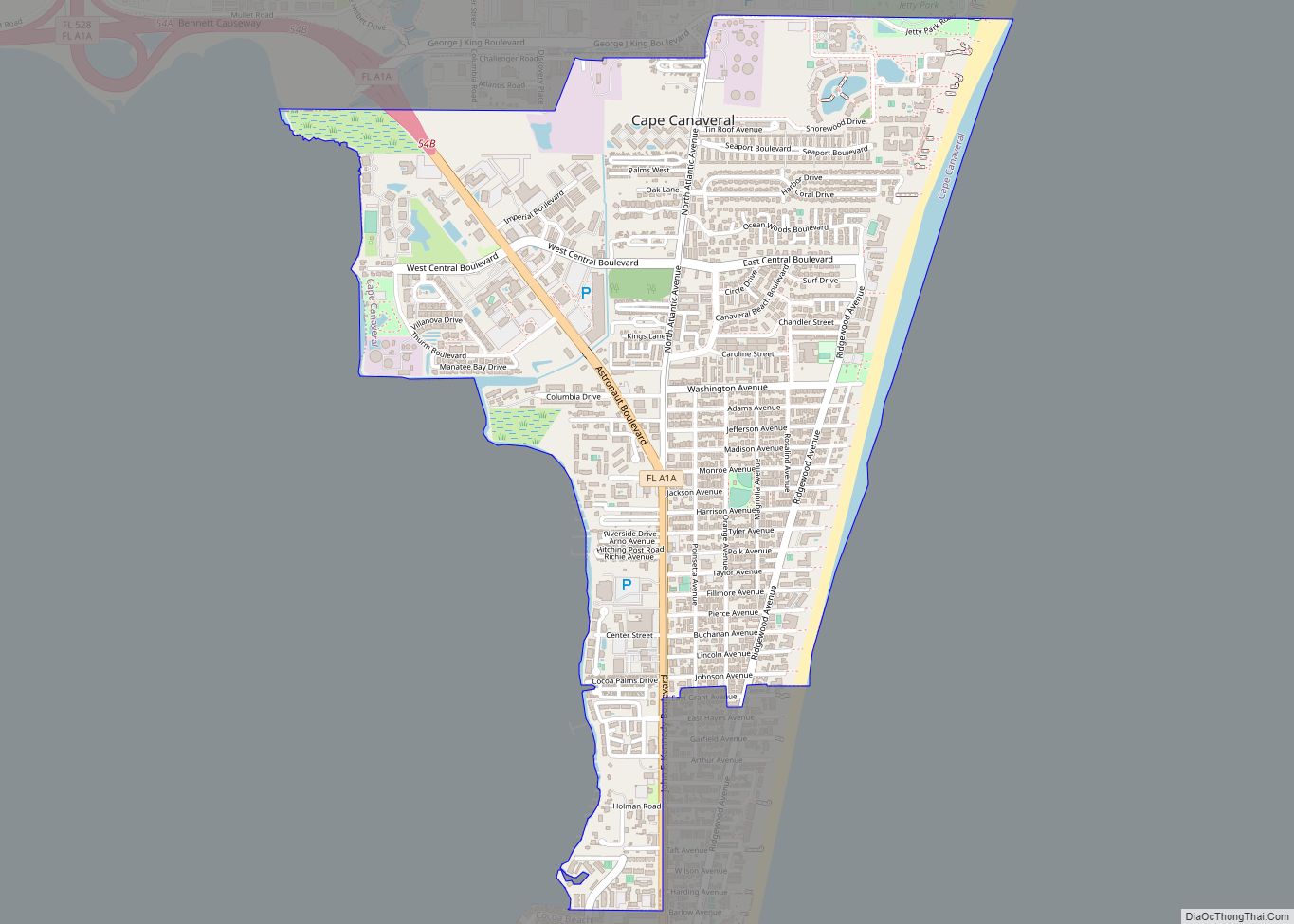
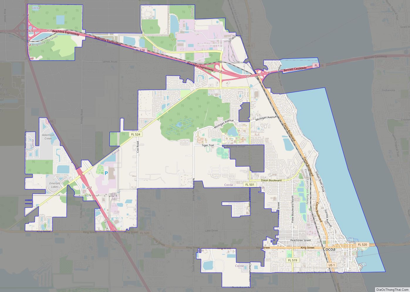
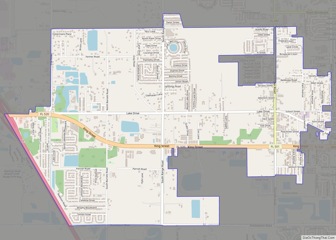
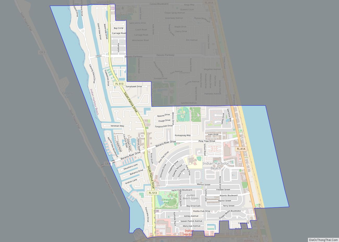
Online Interactive Map
Click on ![]() to view map in "full screen" mode.
to view map in "full screen" mode.
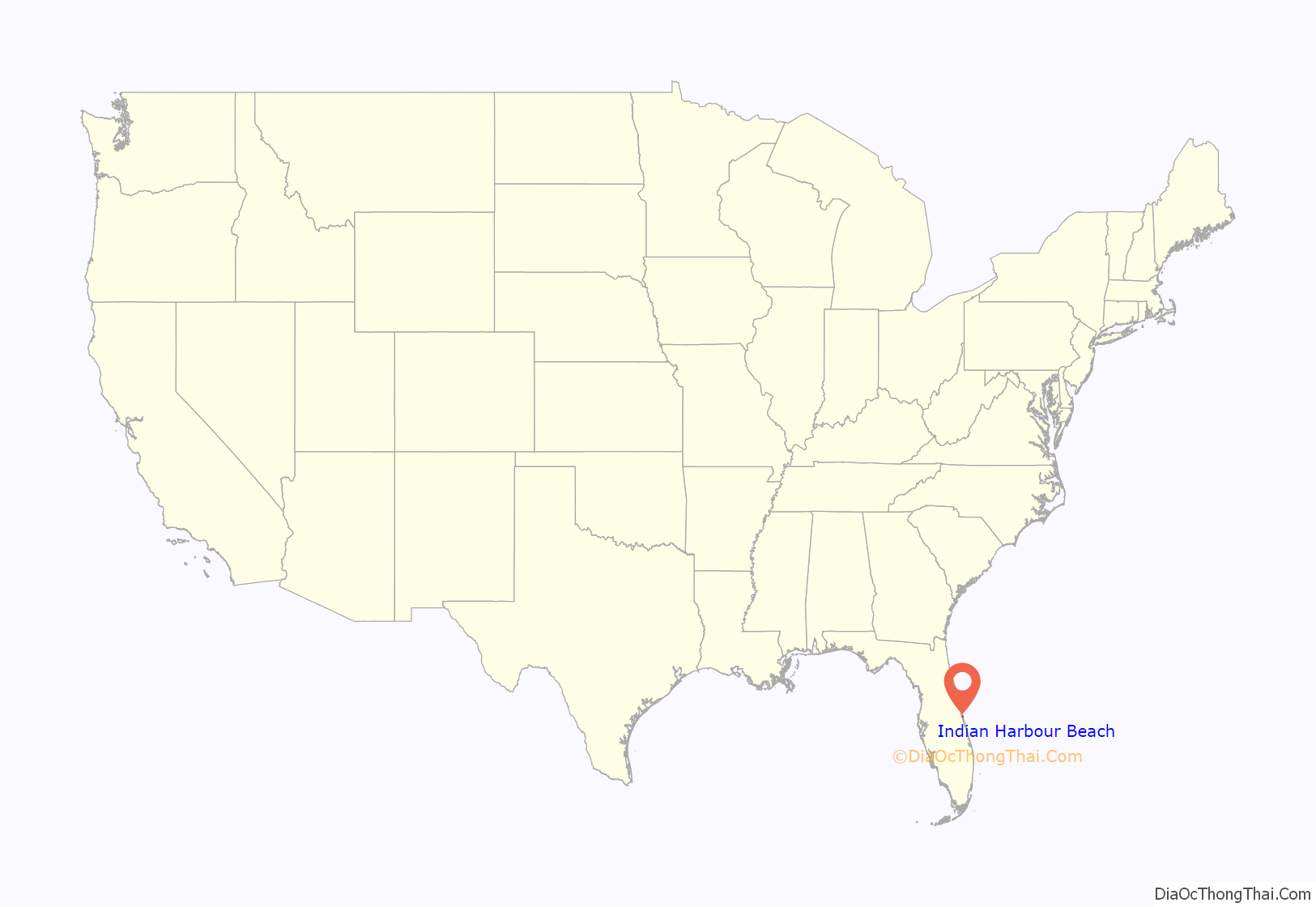
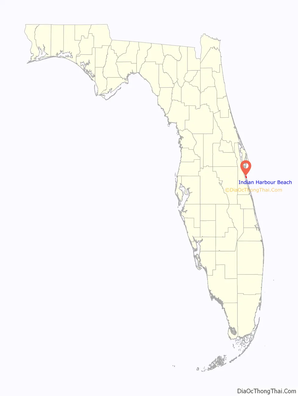
Indian Harbour Beach location map. Where is Indian Harbour Beach city?
History
Indian Harbour Beach was founded on June 6, 1955, by W. Lansing Gleason, John H. Neafie and Louis S. Henry.
In 2013, along with Palm Beach and Sanibel, Indian Harbour Beach ranked among the top 3 places to live in Florida according to AreaVibes livability score.
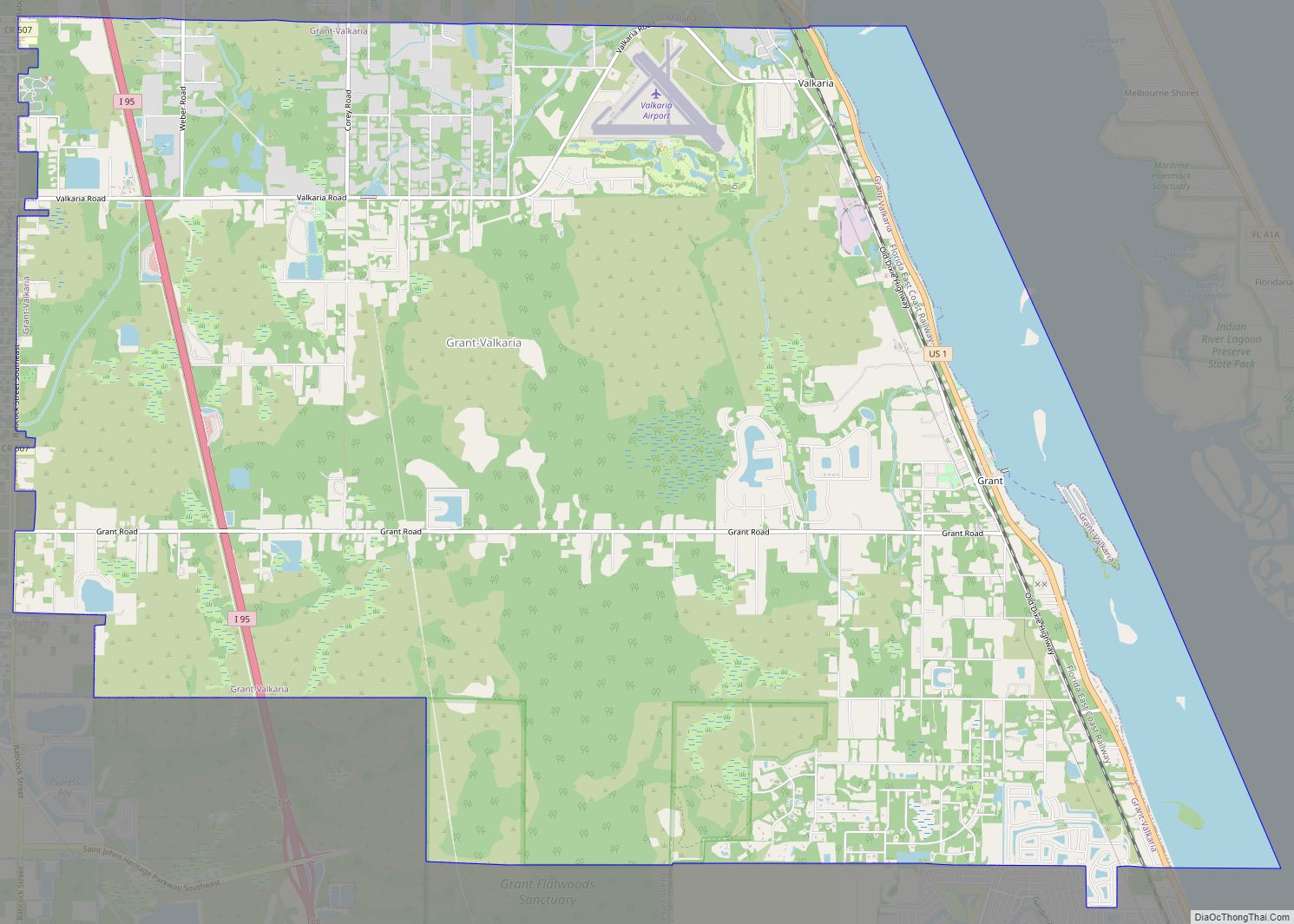
Indian Harbour Beach Road Map
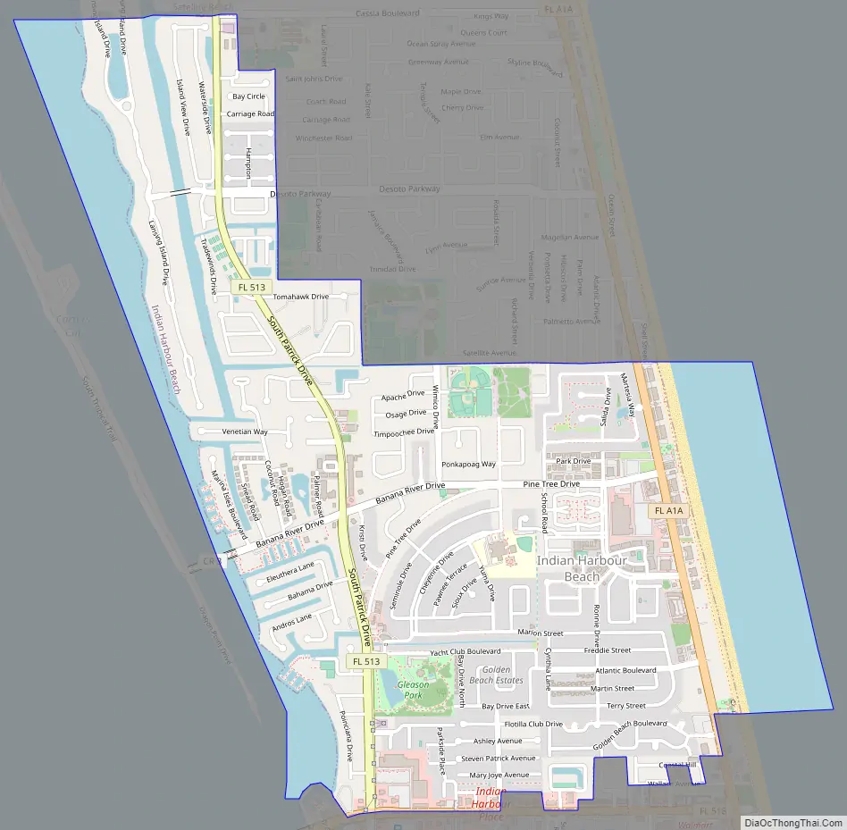
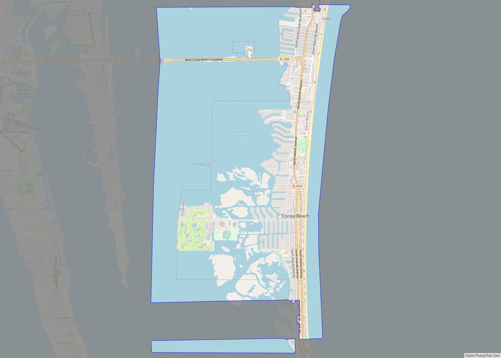
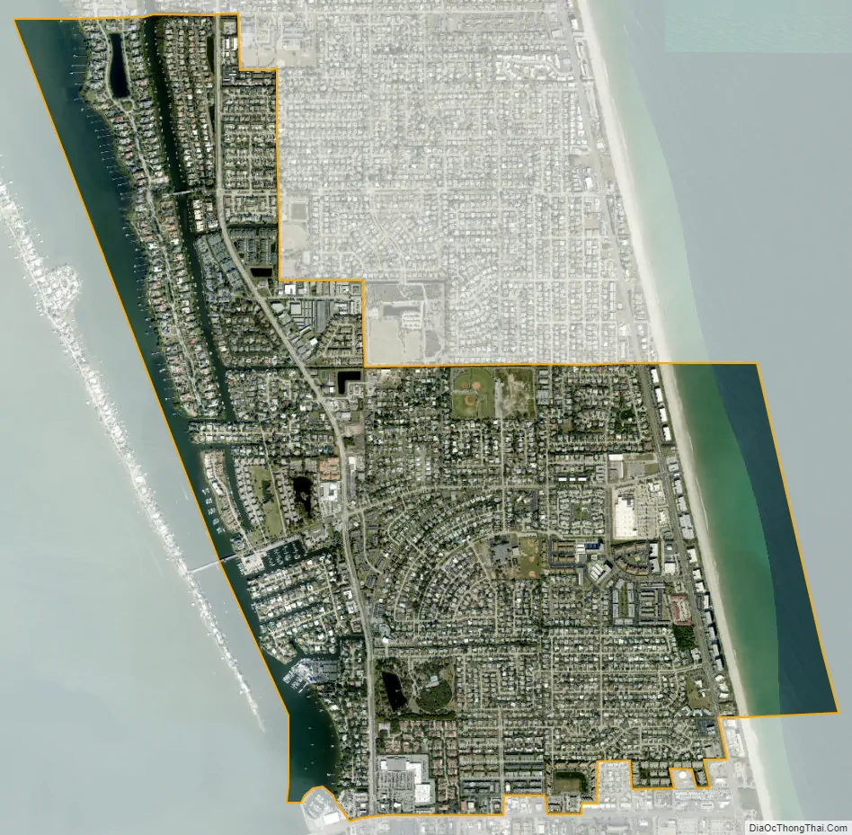
Indian Harbour Beach city Satellite Map
Geography
According to the United States Census Bureau, the city has a total area of 2.6 square miles (6.7 km). 2.1 square miles (5.4 km) of it is land and 0.5 square miles (1.3 km) of it (18.63%) is water.
Fauna
Threatened Atlantic loggerhead sea turtles nest on the city’s ocean beaches at densities of approximately one nest per 10 feet (3.0 m) of shoreline per year. Endangered green sea turtles deposit an average of tens of nests along the city’s ocean beach each year.
Endangered right whales calve off the city’s shoreline. Endangered West Indian manatees frequent the city’s canals and the Banana River. Bald eagles forage over Samsons Island.
The 12 acres (4.9 ha) of wetland created as mitigation by a local developer on Samsons Island provide nutrient-rich, sheltered aquatic habitat serving as finfish nursery and feeding ground for a diverse assemblage of birds and mammals. The city established Samsons Island Nature Park, the only gopher tortoise relocation recipient site on the barrier island. It is occupied by 42 relocated tortoises and three which had been living on the island when development began. The city has erected five osprey nesting platforms on Samsons Island Nature Park, from which young have been fledged. Efforts are now under way to create habitat for use by gopher tortoises and scrub jays. The city is working with faculty of the Florida Institute of Technology to promote graduate student research and class projects on Samsons Island Nature Park and to assist in devising and implementing maintenance programs to preserve and enhance desirable wildlife habitats.
Flora
There are plant species, both indigenous and imported. Vegetated sand dunes are found along most of the beach’s length and provide the major defense against storm events in the region. Native plant species found on the dunes include sea oats, Sabal palmetto, sea grape, railroad vine, dollar weed, coral bean, Spanish bayonet, wax myrtle, yaupon holly, and several grass species. More salt-tolerant and wind-tolerant species, such as sea oats and railroad vine, are found predominantly on the ocean side of the dune, while other dune vegetation species do not generally show such zonation. These plants assist in building the dune by trapping windblown sand and in stabilizing the dune with extensive lateral root systems.
Geology
There are approximately 10 acres (4.0 ha) of coquina rock outcrops frequently exposed along the low-tide line of Indian Harbour’s ocean beach. The National Marine Fisheries Service has classified the rock as an Essential Fish Habitat-Habitat Area of Particular Concern. It is important to aquatic life and found only in a few locations along the Eastern seaboard.
Fossilized Atlantic ghost crabs can be found on the Indian Harbour’s ocean beach, the remnants of a unique set of geological circumstances which preserved these creatures when they died in their burrows perhaps about 110,000 years ago.
There are significant deposits of sand, marl, coquina and possibly phosphate within the limits of Indian Harbour Beach.
Surrounding areas
- Merritt Island; Indian River Lagoon; Banana River; Melbourne
- Atlantic Ocean
- Melbourne
- Satellite Beach
Climate
Indian Harbour Beach is located in the region where the climate is Humid subtropical climate. Daytime temperatures average 90 °F (32 °C) in the summer months and 72 °F (22 °C) in the winter months. A study commissioned by NASA lends credence to the notion that Indian Harbour Beach is located in a portion of the North American Atlantic shoreline with a uniquely reduced incidence of catastrophic hurricanes.
See also
Map of Florida State and its subdivision:- Alachua
- Baker
- Bay
- Bradford
- Brevard
- Broward
- Calhoun
- Charlotte
- Citrus
- Clay
- Collier
- Columbia
- Desoto
- Dixie
- Duval
- Escambia
- Flagler
- Franklin
- Gadsden
- Gilchrist
- Glades
- Gulf
- Hamilton
- Hardee
- Hendry
- Hernando
- Highlands
- Hillsborough
- Holmes
- Indian River
- Jackson
- Jefferson
- Lafayette
- Lake
- Lee
- Leon
- Levy
- Liberty
- Madison
- Manatee
- Marion
- Martin
- Miami-Dade
- Monroe
- Nassau
- Okaloosa
- Okeechobee
- Orange
- Osceola
- Palm Beach
- Pasco
- Pinellas
- Polk
- Putnam
- Saint Johns
- Saint Lucie
- Santa Rosa
- Sarasota
- Seminole
- Sumter
- Suwannee
- Taylor
- Union
- Volusia
- Wakulla
- Walton
- Washington
- Alabama
- Alaska
- Arizona
- Arkansas
- California
- Colorado
- Connecticut
- Delaware
- District of Columbia
- Florida
- Georgia
- Hawaii
- Idaho
- Illinois
- Indiana
- Iowa
- Kansas
- Kentucky
- Louisiana
- Maine
- Maryland
- Massachusetts
- Michigan
- Minnesota
- Mississippi
- Missouri
- Montana
- Nebraska
- Nevada
- New Hampshire
- New Jersey
- New Mexico
- New York
- North Carolina
- North Dakota
- Ohio
- Oklahoma
- Oregon
- Pennsylvania
- Rhode Island
- South Carolina
- South Dakota
- Tennessee
- Texas
- Utah
- Vermont
- Virginia
- Washington
- West Virginia
- Wisconsin
- Wyoming