Mims is a census-designated place (CDP) in Brevard County, Florida. The population was 7,058 at the 2010 United States Census.
| Name: | Mims CDP |
|---|---|
| LSAD Code: | 57 |
| LSAD Description: | CDP (suffix) |
| State: | Florida |
| County: | Brevard County |
| Elevation: | 33 ft (10 m) |
| Total Area: | 22.37 sq mi (57.93 km²) |
| Land Area: | 17.07 sq mi (44.21 km²) |
| Water Area: | 5.30 sq mi (13.72 km²) |
| Total Population: | 7,336 |
| Population Density: | 429.76/sq mi (165.93/km²) |
| ZIP code: | 32754 |
| Area code: | 321 |
| FIPS code: | 1245775 |
| GNISfeature ID: | 0286950 |
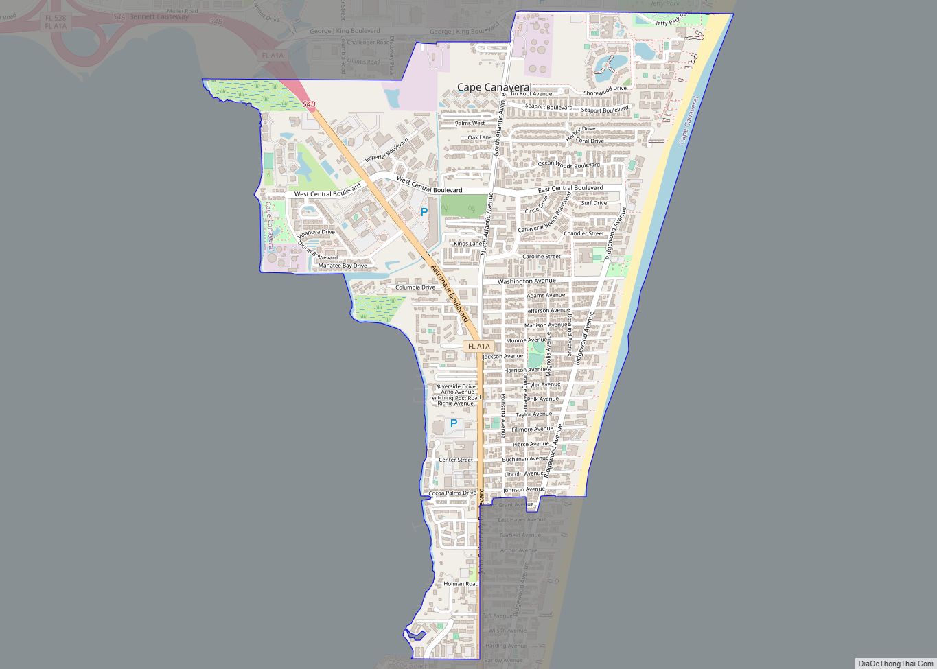
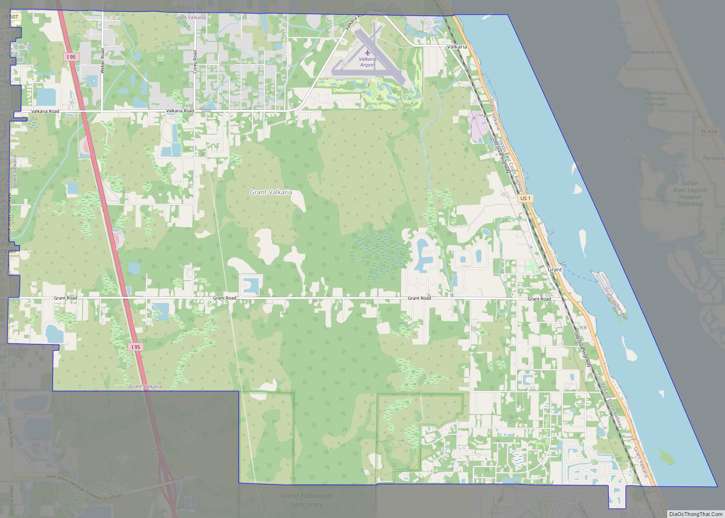
Online Interactive Map
Click on ![]() to view map in "full screen" mode.
to view map in "full screen" mode.
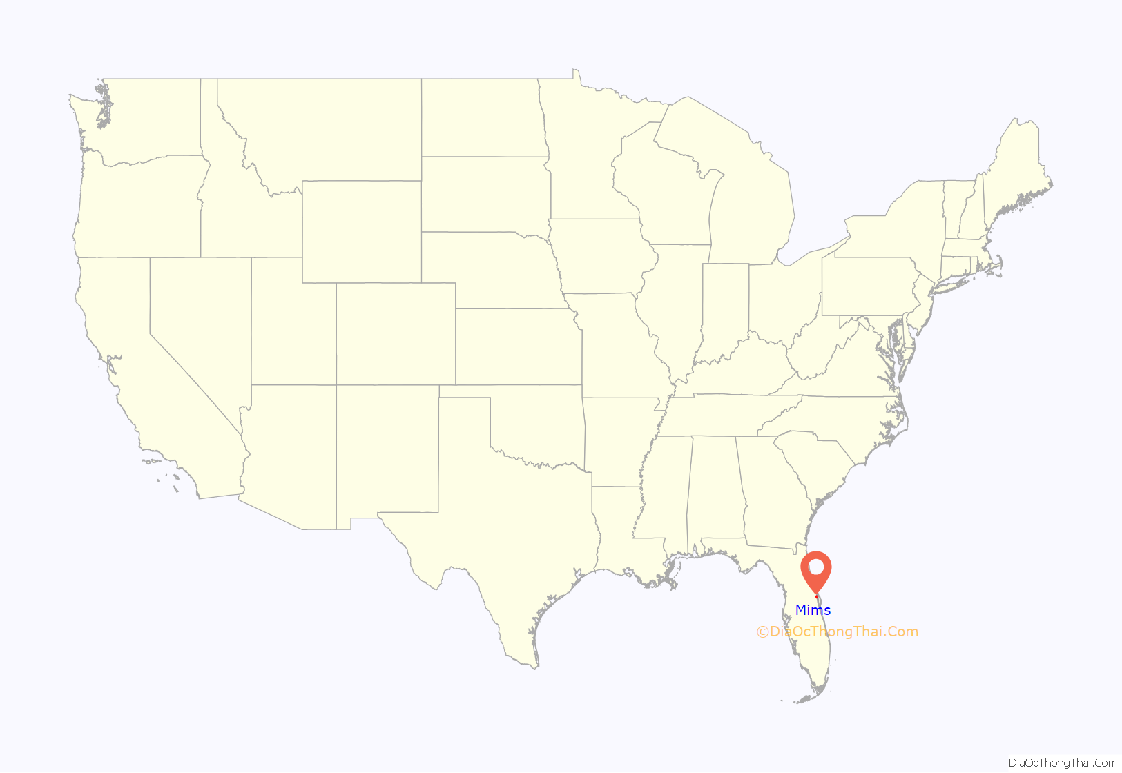
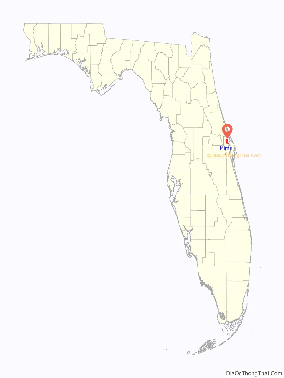
Mims location map. Where is Mims CDP?
History
Mims, Florida received its name after an early settler, Casper Neil Mims, who established a general store circa 1876. Railroad access starting 1885 expanded the community. By the end of the 19th century citrus farms began to dominate the local economy.
Harry T. Moore, a civil rights leader, teacher and founder of the Brevard County NAACP, was murdered in Mims with his wife, Harriette; they were fatally injured by a bomb exploding under their home on Christmas Eve, 1951. Moore died the next day; his wife died on January 3, 1952. The murder was racially motivated and believed to have been committed by members of the Ku Klux Klan. The FBI investigated the case in 1951-1952, and the county and state in the 1970s and 1990s. The state reinvestigated in 2005, after suspected perpetrators had died. No one was ever prosecuted.
Multiple sites in Mims and Brevard County are dedicated to the Moores including the Moore Memorial Park and Cultural Center in Mims.
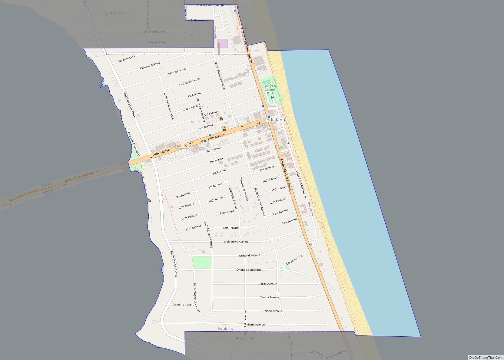
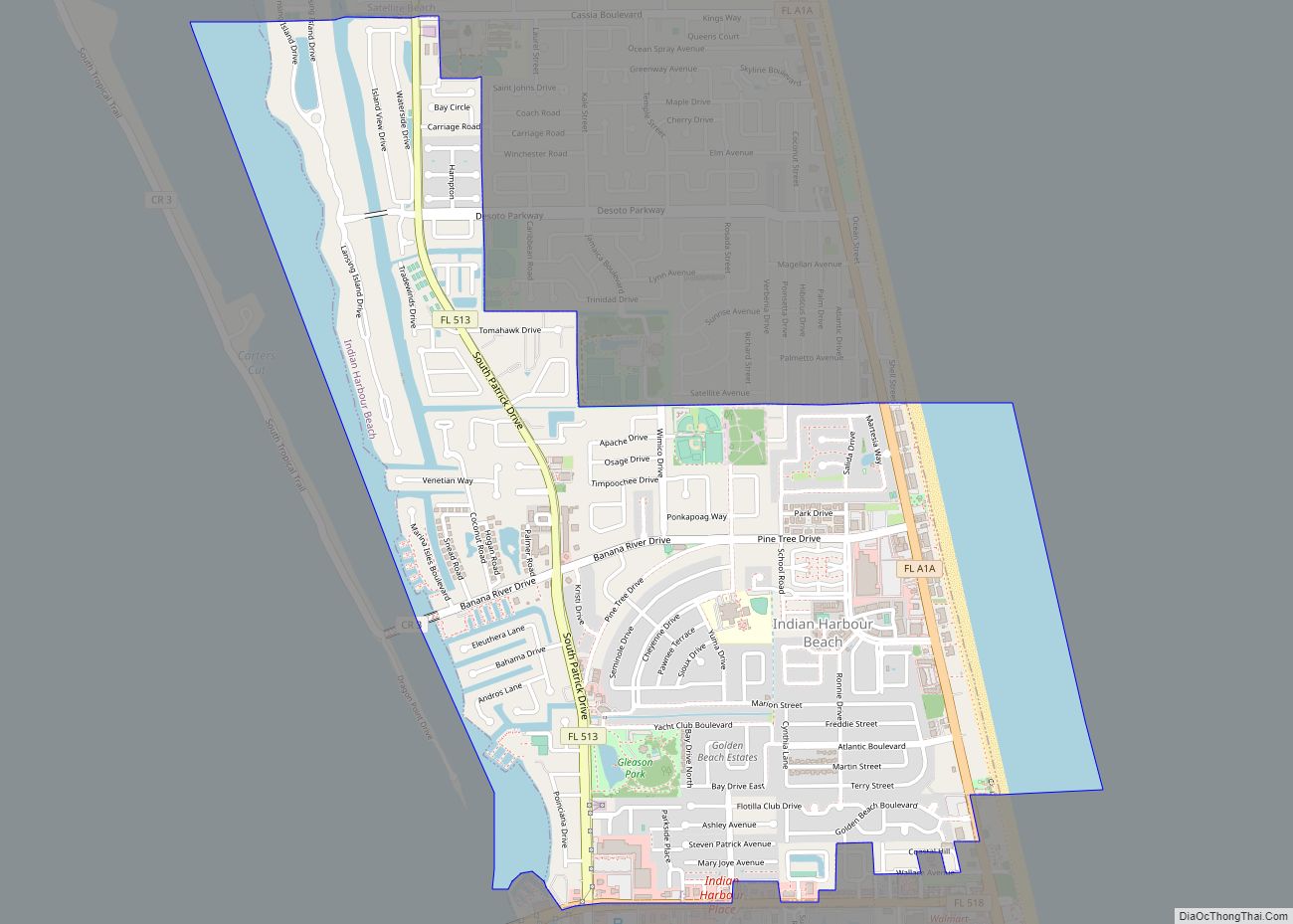
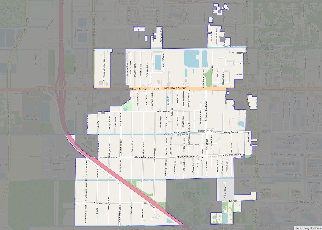
Mims Road Map
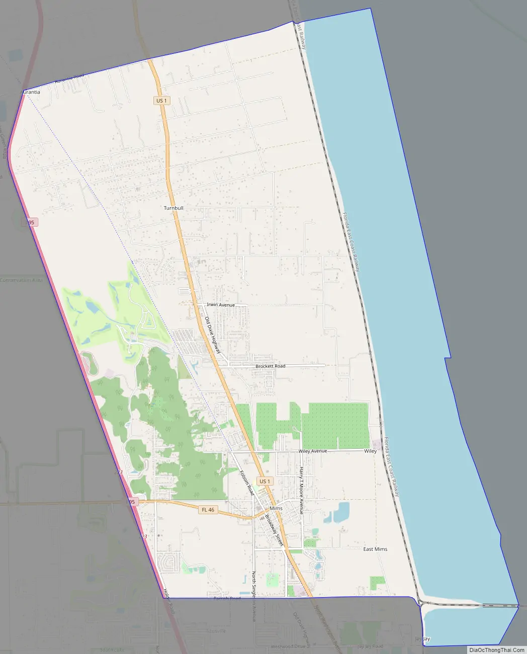
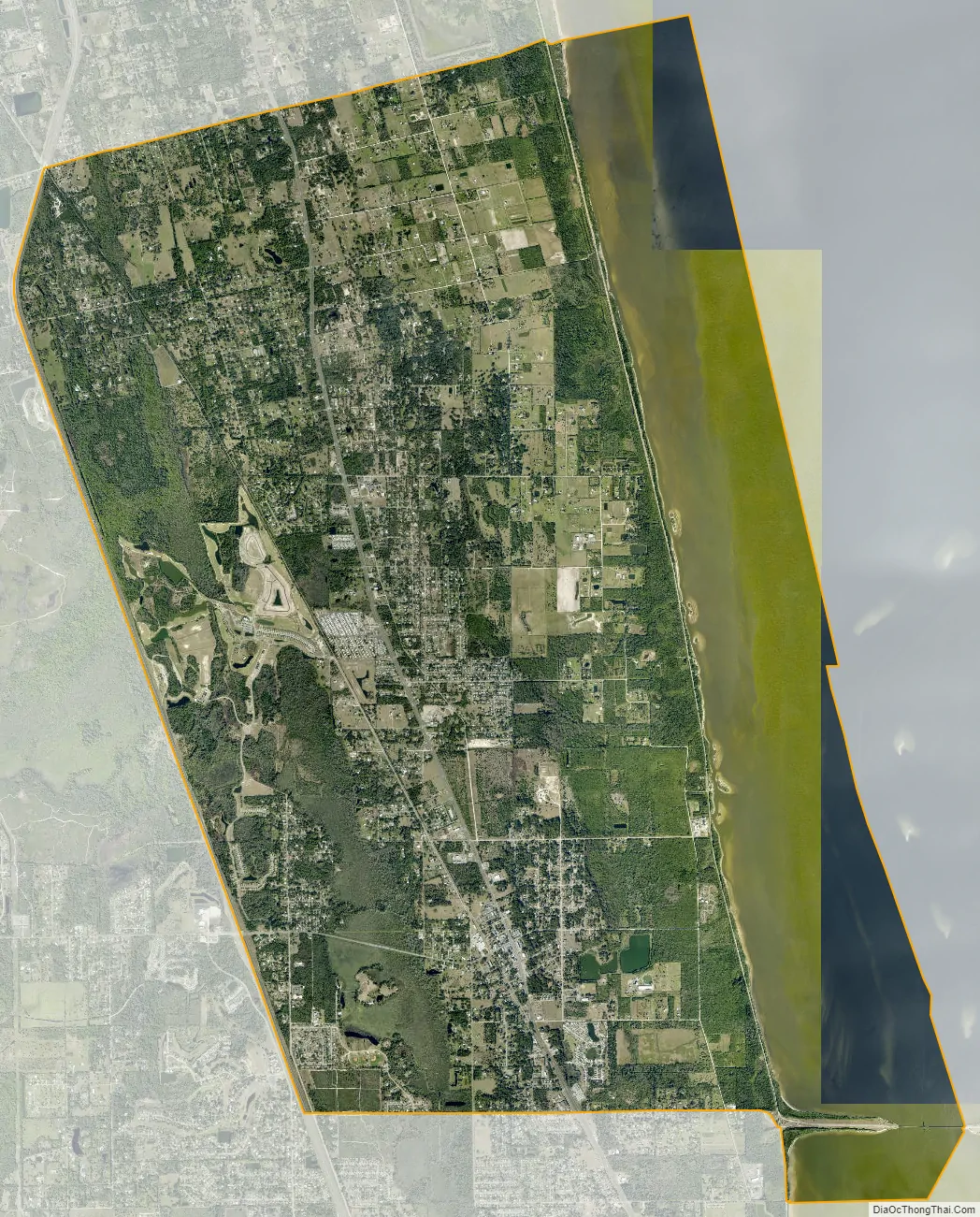
Mims city Satellite Map
Geography
Mims is located at 28°40′7″N 80°50′53″W / 28.66861°N 80.84806°W / 28.66861; -80.84806 (28.668670, -80.847949).
According to the United States Census Bureau, the CDP has a total area of 22.4 square miles (57.9 km), of which 17.0 square miles (44.1 km) is land and 5.3 square miles (13.7 km), or 23.71%, is water.
See also
Map of Florida State and its subdivision:- Alachua
- Baker
- Bay
- Bradford
- Brevard
- Broward
- Calhoun
- Charlotte
- Citrus
- Clay
- Collier
- Columbia
- Desoto
- Dixie
- Duval
- Escambia
- Flagler
- Franklin
- Gadsden
- Gilchrist
- Glades
- Gulf
- Hamilton
- Hardee
- Hendry
- Hernando
- Highlands
- Hillsborough
- Holmes
- Indian River
- Jackson
- Jefferson
- Lafayette
- Lake
- Lee
- Leon
- Levy
- Liberty
- Madison
- Manatee
- Marion
- Martin
- Miami-Dade
- Monroe
- Nassau
- Okaloosa
- Okeechobee
- Orange
- Osceola
- Palm Beach
- Pasco
- Pinellas
- Polk
- Putnam
- Saint Johns
- Saint Lucie
- Santa Rosa
- Sarasota
- Seminole
- Sumter
- Suwannee
- Taylor
- Union
- Volusia
- Wakulla
- Walton
- Washington
- Alabama
- Alaska
- Arizona
- Arkansas
- California
- Colorado
- Connecticut
- Delaware
- District of Columbia
- Florida
- Georgia
- Hawaii
- Idaho
- Illinois
- Indiana
- Iowa
- Kansas
- Kentucky
- Louisiana
- Maine
- Maryland
- Massachusetts
- Michigan
- Minnesota
- Mississippi
- Missouri
- Montana
- Nebraska
- Nevada
- New Hampshire
- New Jersey
- New Mexico
- New York
- North Carolina
- North Dakota
- Ohio
- Oklahoma
- Oregon
- Pennsylvania
- Rhode Island
- South Carolina
- South Dakota
- Tennessee
- Texas
- Utah
- Vermont
- Virginia
- Washington
- West Virginia
- Wisconsin
- Wyoming