Cocoa is a city in Brevard County, Florida. The population was 19,041 at the 2020 United States Census. It is part of the Palm Bay–Melbourne–Titusville Metropolitan Statistical Area.
| Name: | Cocoa city |
|---|---|
| LSAD Code: | 25 |
| LSAD Description: | city (suffix) |
| State: | Florida |
| County: | Brevard County |
| Elevation: | 36 ft (11 m) |
| Total Area: | 14.75 sq mi (38.21 km²) |
| Land Area: | 13.73 sq mi (35.57 km²) |
| Water Area: | 1.02 sq mi (2.64 km²) |
| Total Population: | 19,041 |
| Population Density: | 1,386.51/sq mi (535.32/km²) |
| Area code: | 321 |
| FIPS code: | 1213150 |
| GNISfeature ID: | 0280608 |
| Website: | www.CocoaFL.org |
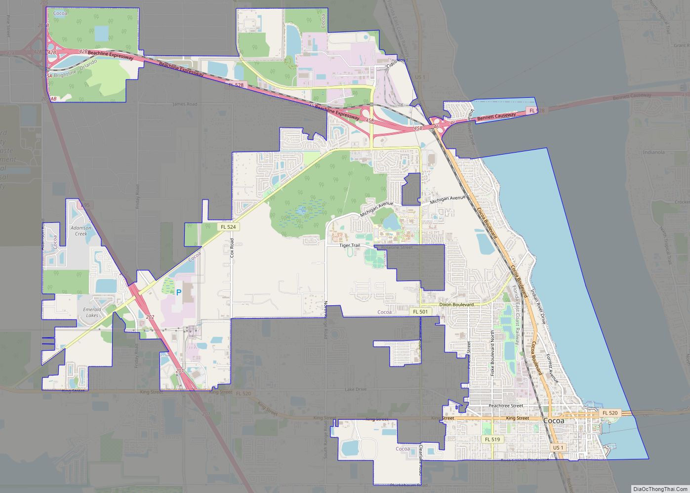
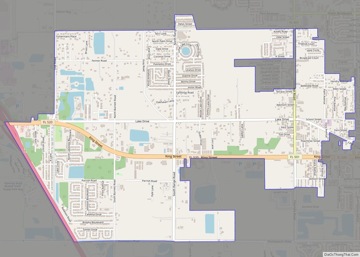
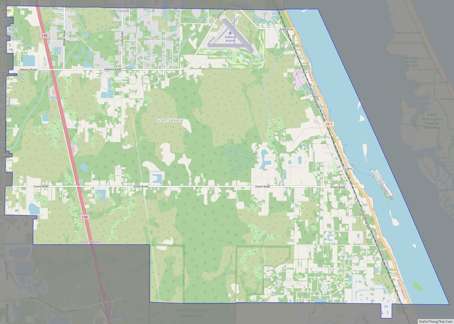
Online Interactive Map
Click on ![]() to view map in "full screen" mode.
to view map in "full screen" mode.
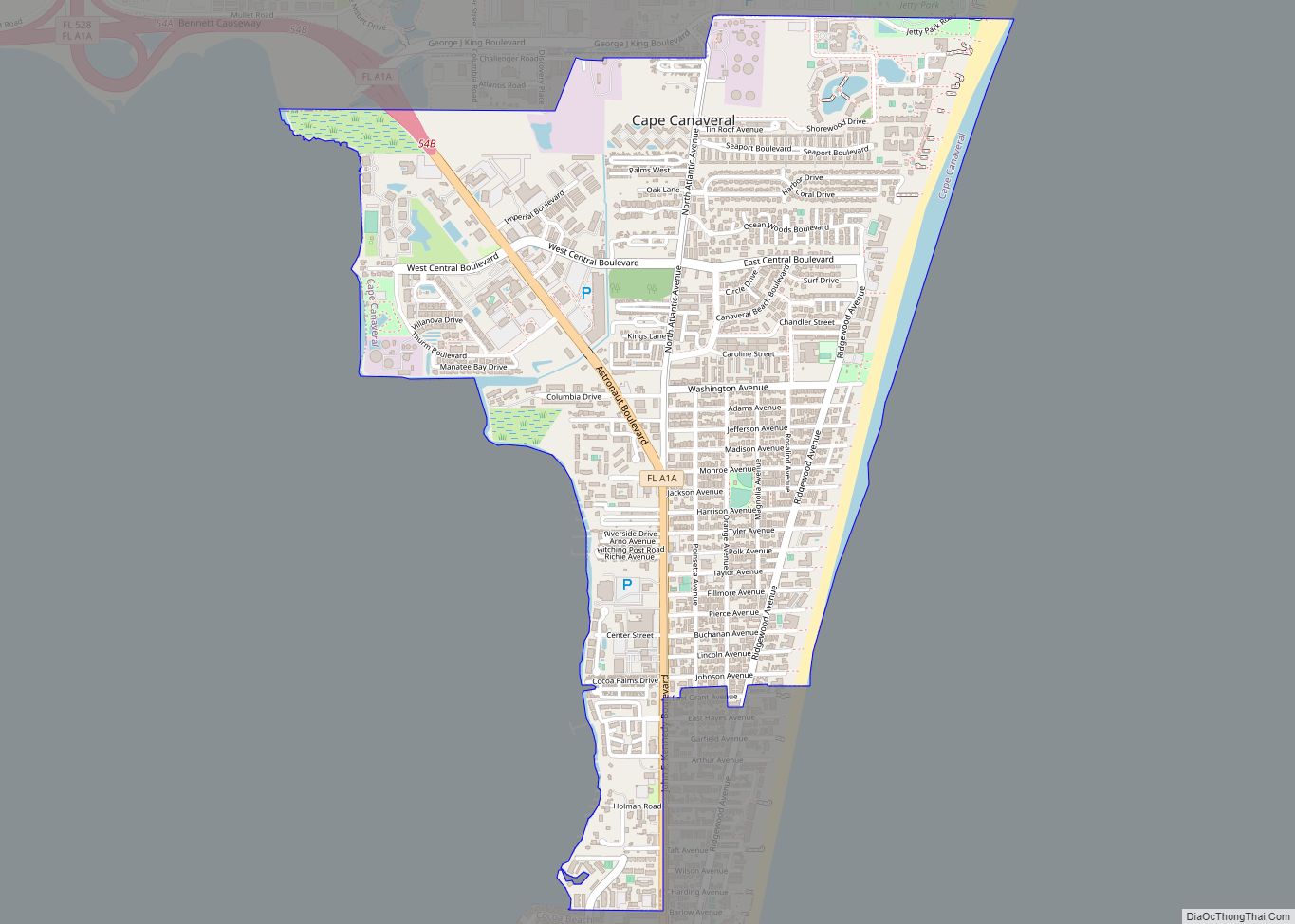
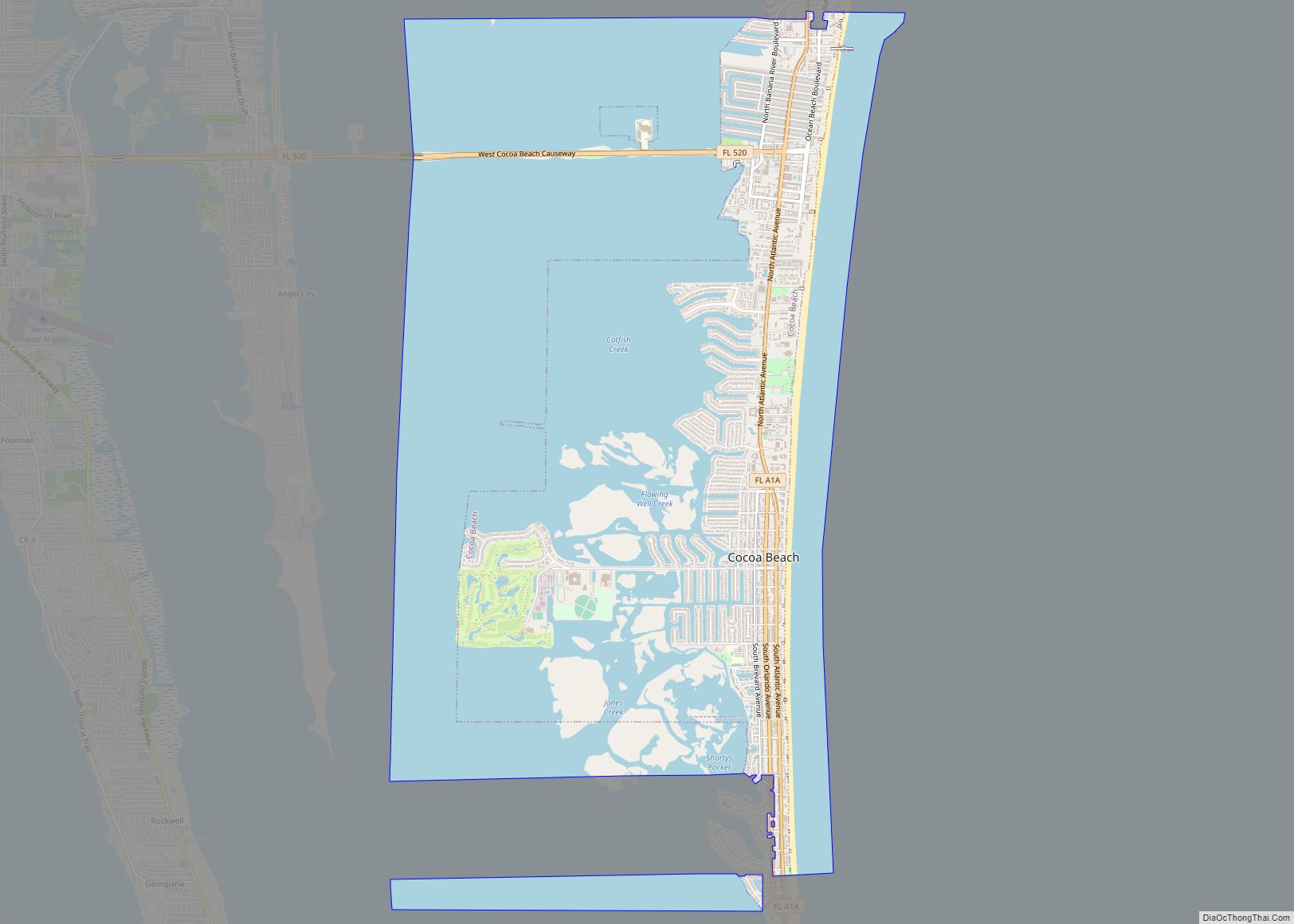
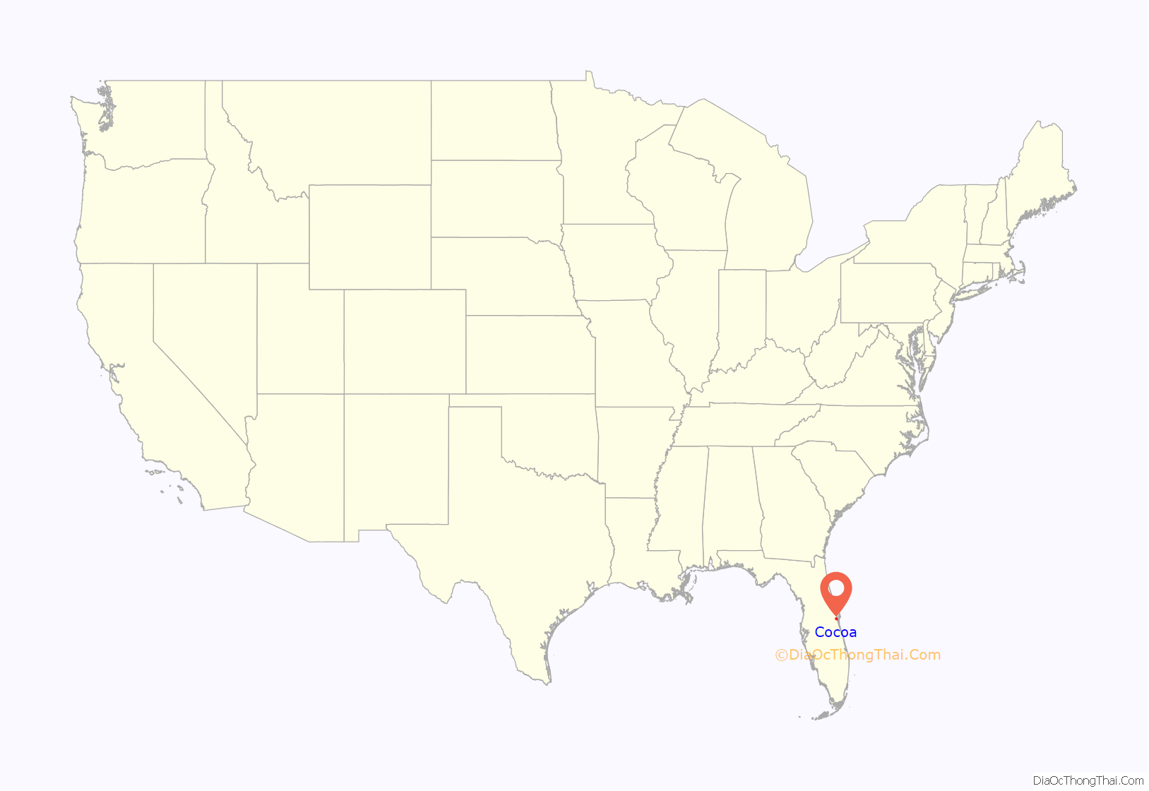
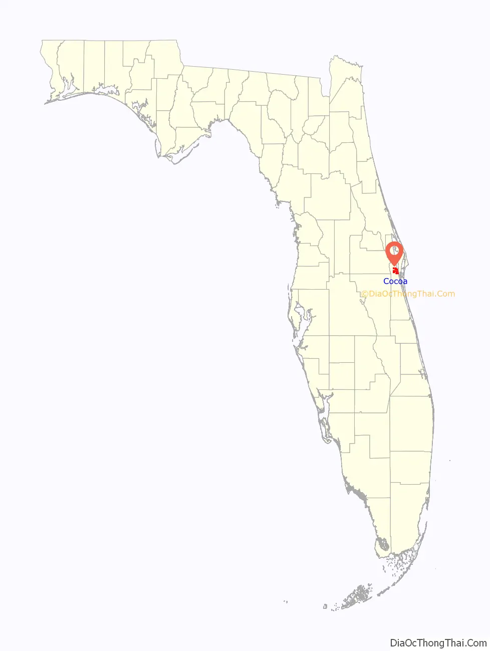
Cocoa location map. Where is Cocoa city?
History
Etymology
Several stories circulate among Cocoa old timers as to how the town got its name. One story says that the mail used to come by river boat and was placed in an empty tin box labeled Baker’s Cocoa. The box was nailed to a piling in the river next to downtown. Additionally, an early hotel in the area, located on the Indian River lagoon, was named Cocoa House. Another story speaks of an elderly African American woman who lived on the banks of the Indian River. She would supply hot cocoa to sailors traversing the Indian River. It was said, the sailors approaching her house would yell out “Cocoa! Cocoa!” alerting the woman that they were present and wanted the beverage.
19th Century
In 1885, the S. F. Travis Hardware store opened. As of 2023, the business remains open. Cocoa’s business district was mostly destroyed by fire in 1890. But soon, significant development was stimulated by the extension of the Jacksonville, St. Augustine, and Indian River Railway to Cocoa.
The city was chartered on October 1, 1895. In the winter of 1894–1895, Cocoa had an economic setback when the “Great Freeze” destroyed the citrus crop and forced many citrus workers to seek new jobs. By 1903, the population of Cocoa had declined to 382.
Early 20th Century
In the 1910s, population growth in Cocoa accelerated. The state business directory of 1911–1912 stated the population was 550.
In October 1918, the mayor of Cocoa proclaimed that all places of assembly, including schools, churches, and movies be closed to avoid spreading the Spanish flu.
By 1925, the population was estimated at 1,800. By 1930, despite the Great Depression, the population had risen to 2,200.
World War II and beyond
The population rose dramatically following the development of the space industry, quadrupling from 3,098 in 1940 to 12,244 in 1960. Cocoa and the surrounding area also became integrated with the tourist industry for the first time, as thousands visited the area to witness the launches from Cape Canaveral. By 1980, the population had grown to 16,096.
Education was segregated until the 1960s, at which time Monroe High School and elementary schools for black students were closed.
In 1964, the Cocoa Expo Sports Center (Cocoa Stadium) was built for the Colt 45s spring baseball training and Grapefruit League games. The team later became the Houston Astros. In the early 1980s, the city attempted to upgrade the stadium by asking the Astros to pay for needed repairs. In 1985, the team responded by moving its training to Osceola County Stadium in Kissimmee. As a result, it was decided that future negotiations with major league teams would be done by the county government.
Clearlake Middle School was closed in 2013. Students were moved to Cocoa High School, which was converted to a junior and senior high school.
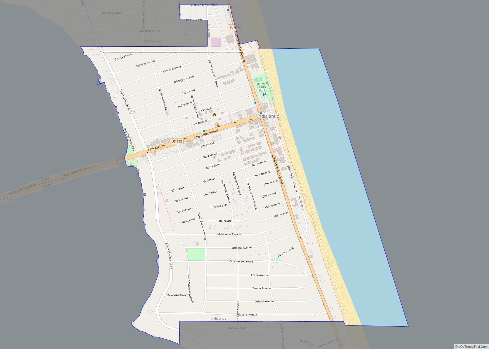
Cocoa Road Map
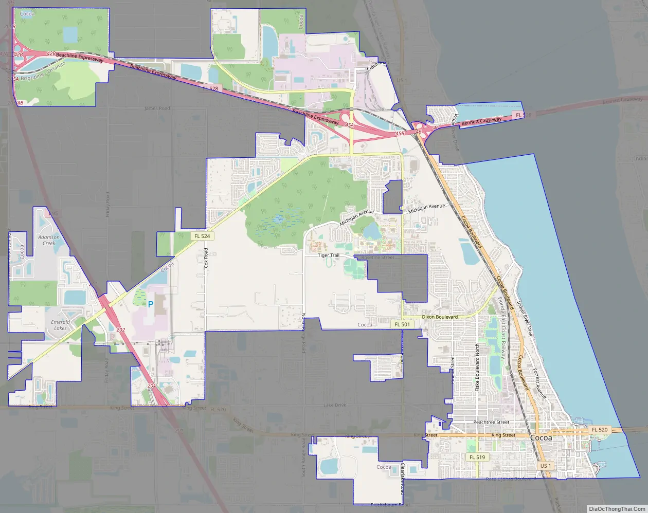
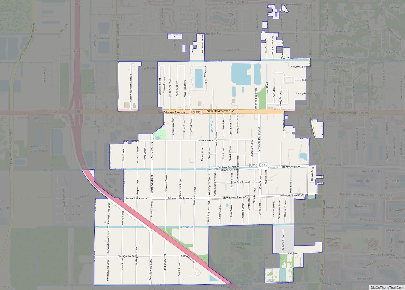
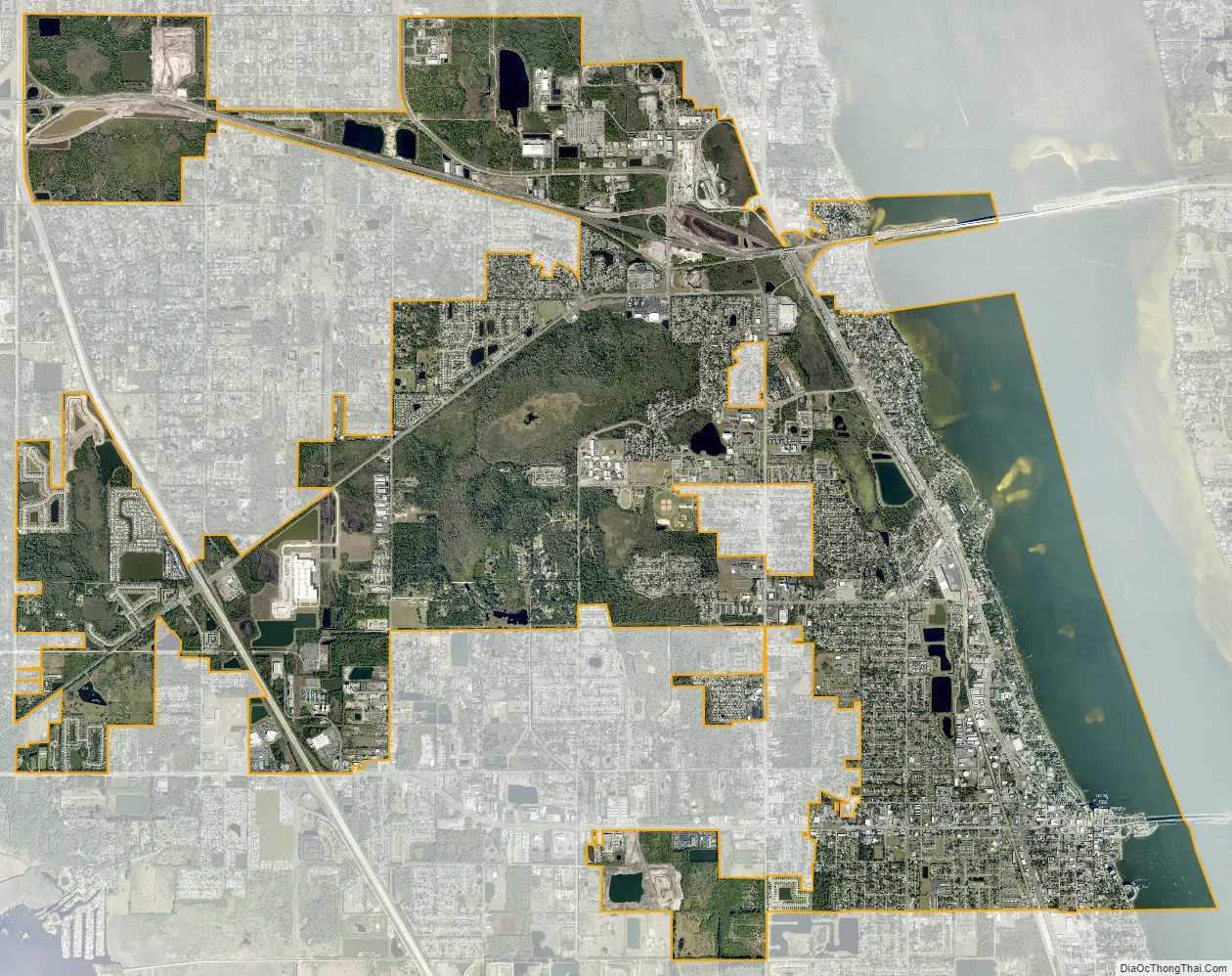
Cocoa city Satellite Map
Geography
Cocoa is located at 28°22′10″N 80°44′38″W / 28.369334°N 80.743779°W / 28.369334; -80.743779.
According to the United States Census Bureau, the city has a total area of 15.4 square miles (39.9 km). 13.3 square miles (34.5 km) of it is land and 2.1 square miles (5.4 km) of it (13.46%) is water. Cocoa is home to the highest point in Brevard County, listed by the USGS as being 83 feet (25 m) above sea level at its apex.
Fauna
The Cocoa Bird Count has annually counted species of birds in or near Cocoa since 1950. In 2010, it counted 150 species. There was an annual “Christmas Bird Count” before this, starting in 1900.
Climate
See also
Map of Florida State and its subdivision:- Alachua
- Baker
- Bay
- Bradford
- Brevard
- Broward
- Calhoun
- Charlotte
- Citrus
- Clay
- Collier
- Columbia
- Desoto
- Dixie
- Duval
- Escambia
- Flagler
- Franklin
- Gadsden
- Gilchrist
- Glades
- Gulf
- Hamilton
- Hardee
- Hendry
- Hernando
- Highlands
- Hillsborough
- Holmes
- Indian River
- Jackson
- Jefferson
- Lafayette
- Lake
- Lee
- Leon
- Levy
- Liberty
- Madison
- Manatee
- Marion
- Martin
- Miami-Dade
- Monroe
- Nassau
- Okaloosa
- Okeechobee
- Orange
- Osceola
- Palm Beach
- Pasco
- Pinellas
- Polk
- Putnam
- Saint Johns
- Saint Lucie
- Santa Rosa
- Sarasota
- Seminole
- Sumter
- Suwannee
- Taylor
- Union
- Volusia
- Wakulla
- Walton
- Washington
- Alabama
- Alaska
- Arizona
- Arkansas
- California
- Colorado
- Connecticut
- Delaware
- District of Columbia
- Florida
- Georgia
- Hawaii
- Idaho
- Illinois
- Indiana
- Iowa
- Kansas
- Kentucky
- Louisiana
- Maine
- Maryland
- Massachusetts
- Michigan
- Minnesota
- Mississippi
- Missouri
- Montana
- Nebraska
- Nevada
- New Hampshire
- New Jersey
- New Mexico
- New York
- North Carolina
- North Dakota
- Ohio
- Oklahoma
- Oregon
- Pennsylvania
- Rhode Island
- South Carolina
- South Dakota
- Tennessee
- Texas
- Utah
- Vermont
- Virginia
- Washington
- West Virginia
- Wisconsin
- Wyoming