Port St. John is a census-designated place located between Titusville and Cocoa in Brevard County, Florida. The population was 12,267 at the 2010 United States Census. It is part of the Palm Bay–Melbourne–Titusville Metropolitan Statistical Area.
| Name: | Port St. John CDP |
|---|---|
| LSAD Code: | 57 |
| LSAD Description: | CDP (suffix) |
| State: | Florida |
| County: | Brevard County |
| Elevation: | 26 ft (8 m) |
| Total Area: | 9.32 sq mi (24.14 km²) |
| Land Area: | 9.32 sq mi (24.14 km²) |
| Water Area: | 0.00 sq mi (0.00 km²) |
| Total Population: | 23,474 |
| Population Density: | 2,518.40/sq mi (972.34/km²) |
| ZIP code: | 32927 |
| Area code: | 321 |
| FIPS code: | 1258700 |
| GNISfeature ID: | 1867193 |
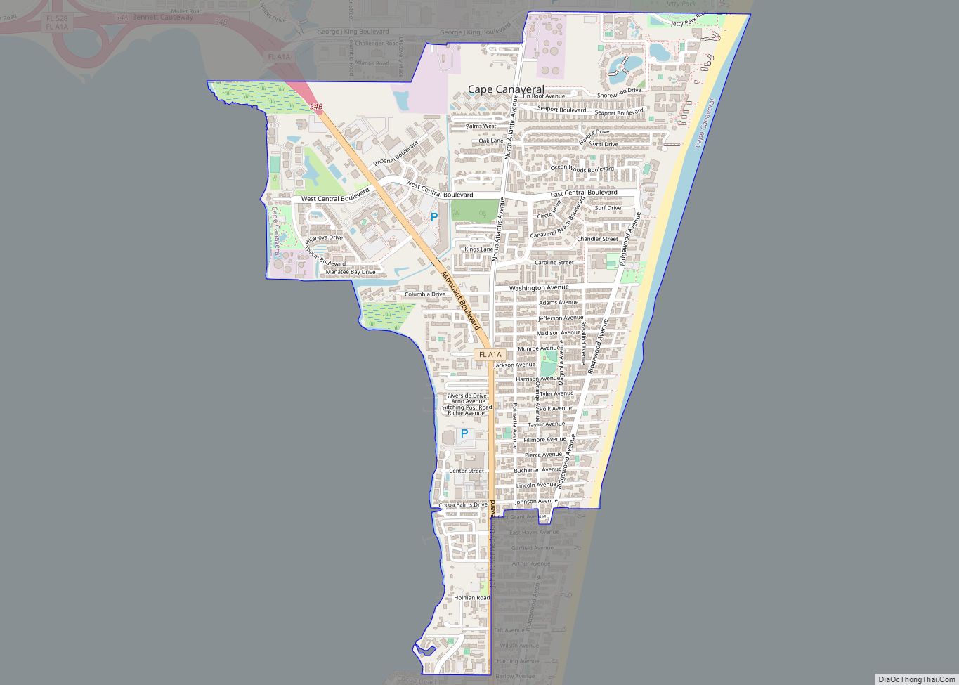
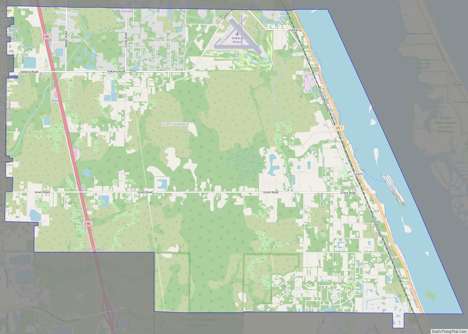
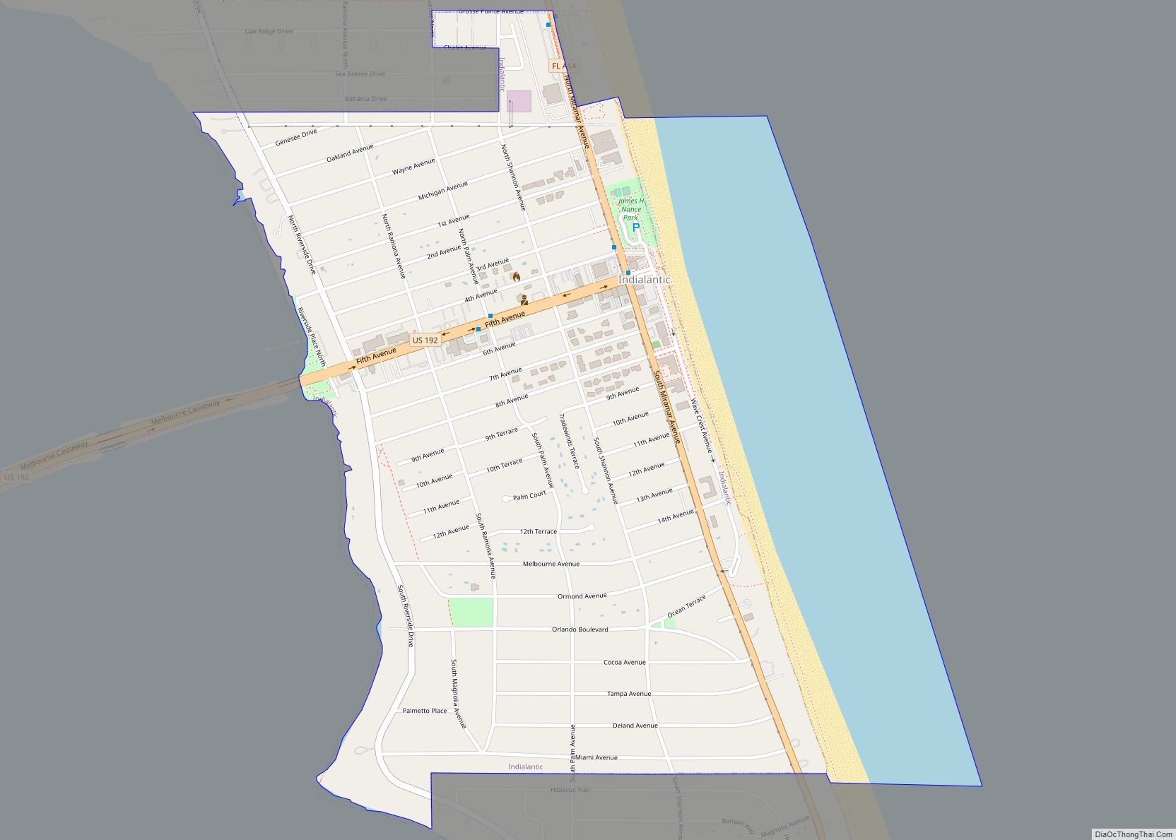
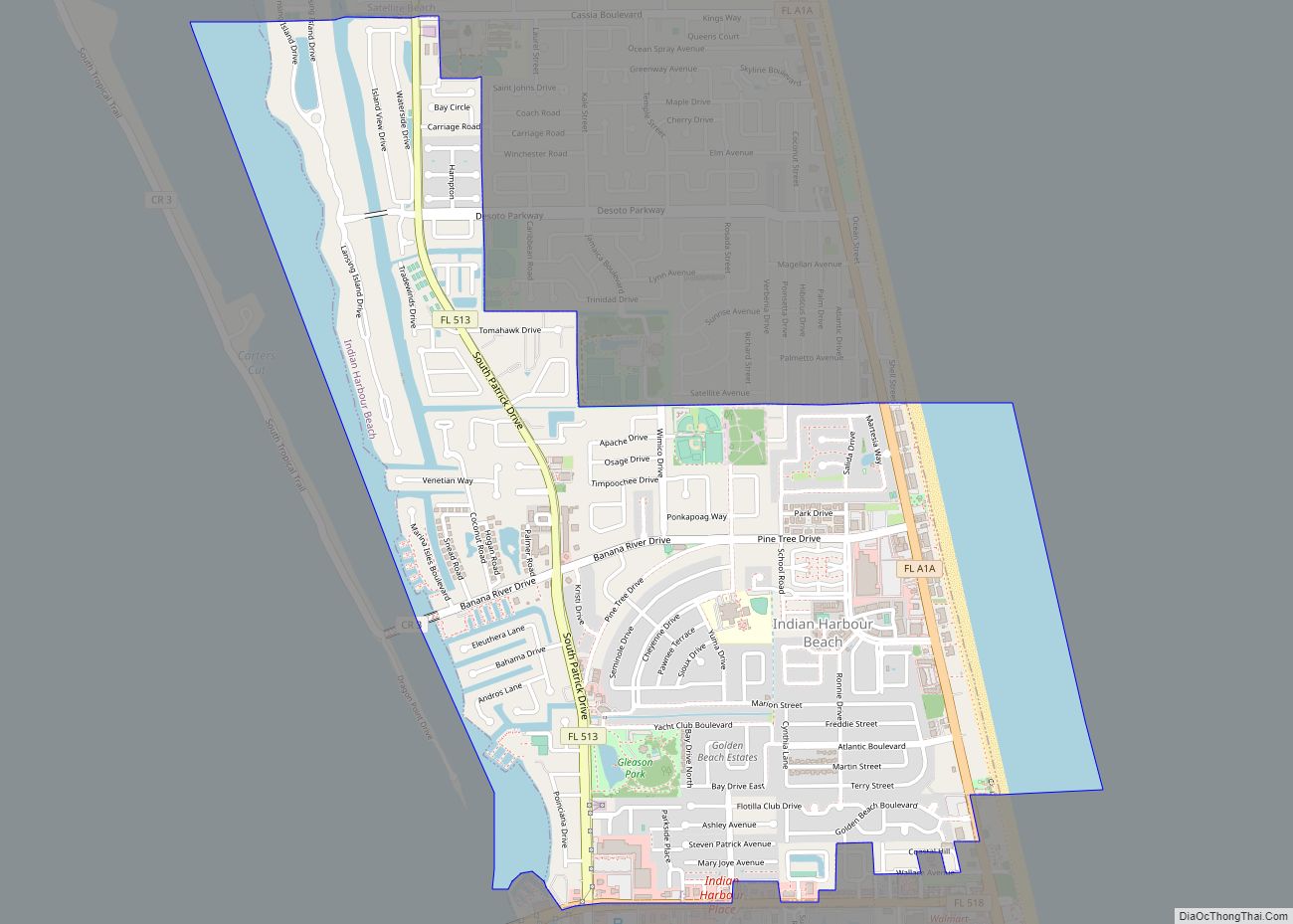
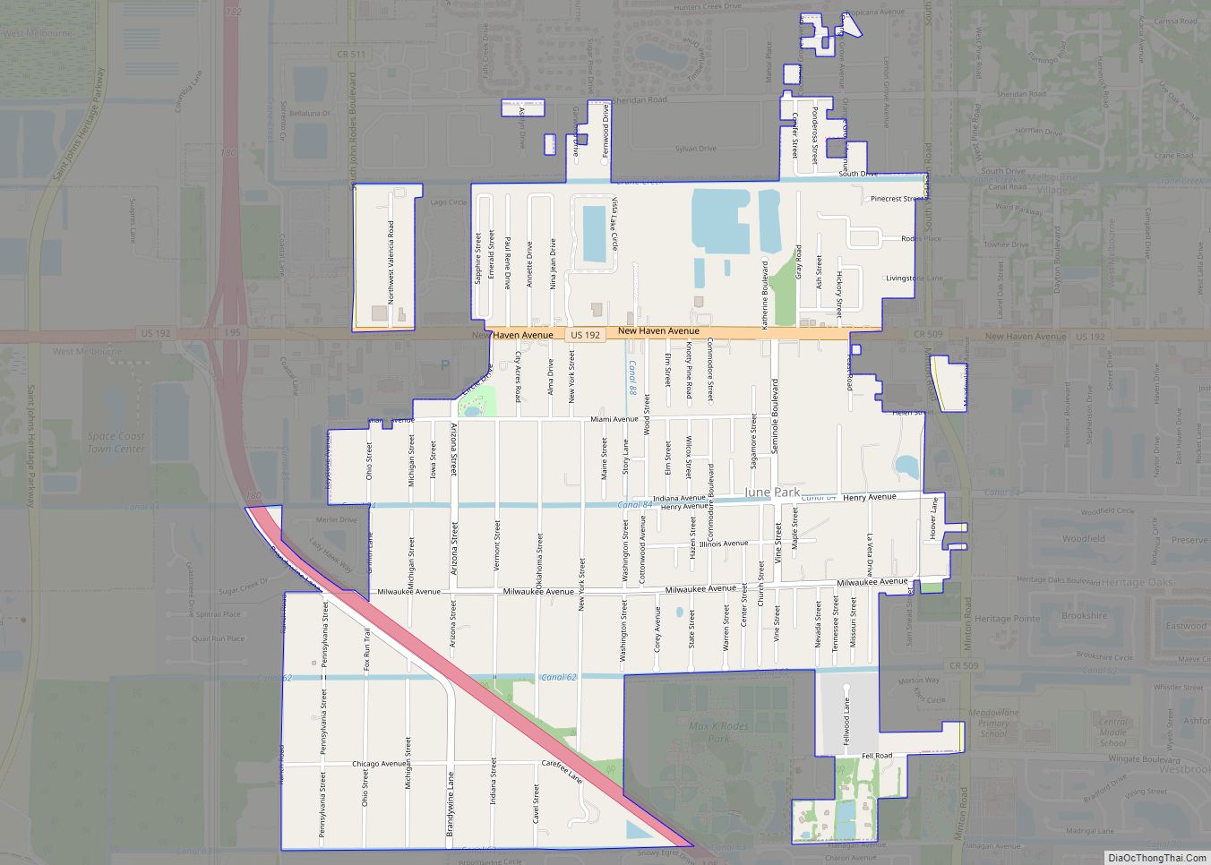
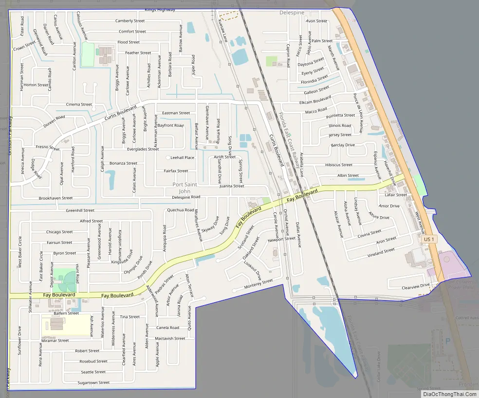
Online Interactive Map
Click on ![]() to view map in "full screen" mode.
to view map in "full screen" mode.
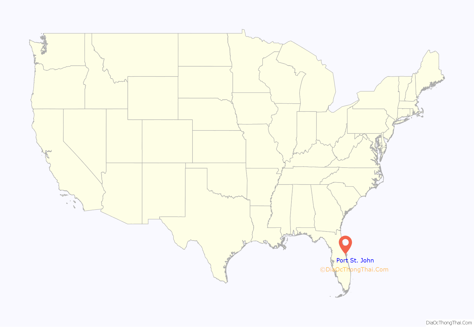
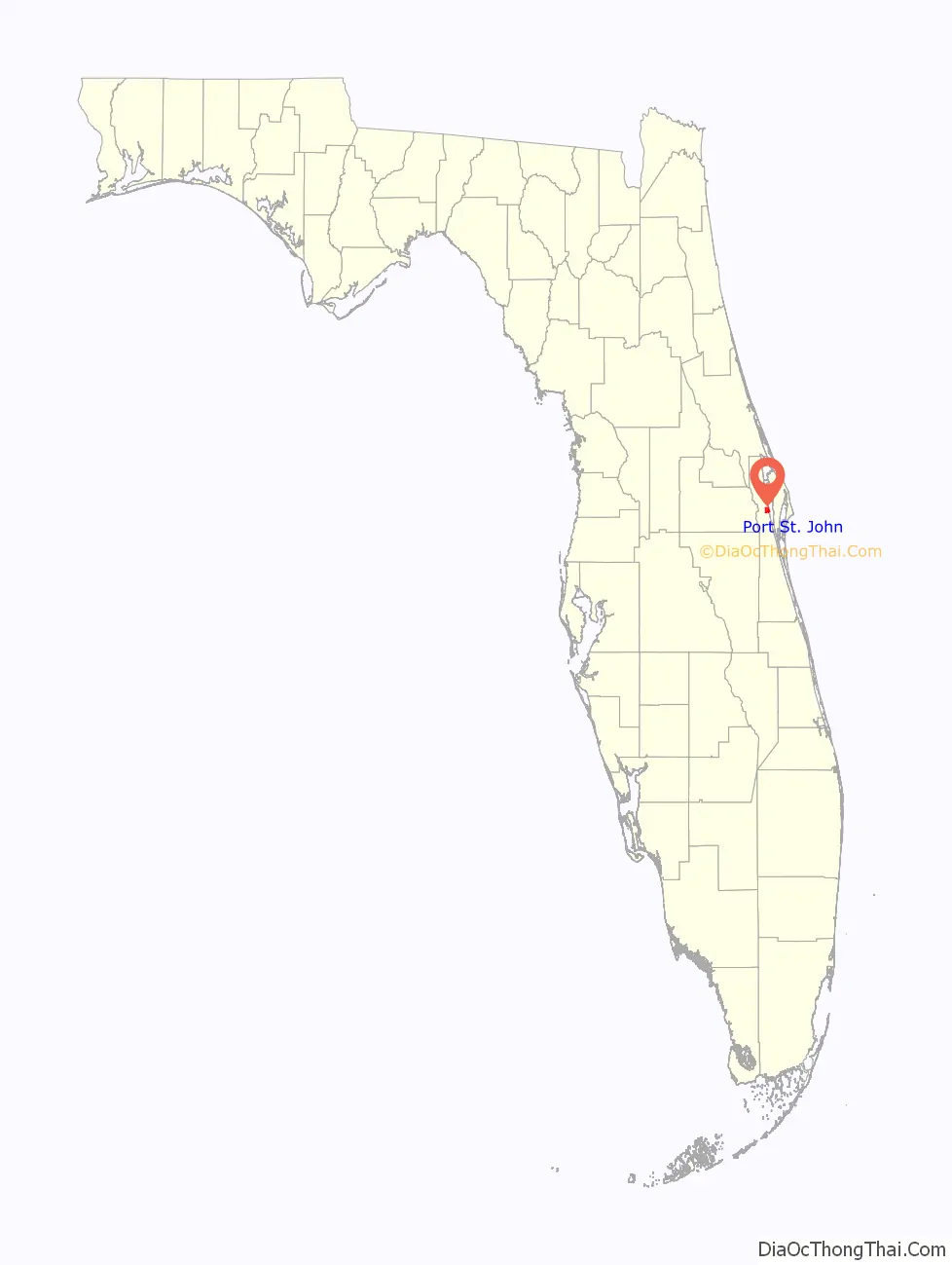
Port St. John location map. Where is Port St. John CDP?
History
In 2002, a group of five Port St. John residents formed “Port St. John For Tomorrow” (PSJ4T) and tried to incorporate the Port St. John area. Included in PSJ4T’s incorporation plans were five separate communities: Delespine, Williams Point, Hardeeville, Frontenac and a part of Sharpes. PSJ4T had not informed these five communities. When the five communities did find out, they expressed disinterest in being included in the incorporation effort. A feasibility study was requested by PSJ4T members. Voters approved the study. The study was funded by Brevard County and performed by the University of Central Florida. The five reviewing committees in Tallahassee said the study was “deeply flawed.”. The county allowed the residents of Port St. John and the five communities to vote on becoming a city. Howard Futch and Randy Ball (CS/HB 1071) sponsored the bills in the Senate and House. The incorporation issue was defeated in November 2002, 73% to 27%, including most of the people in the five communities. State statute prevented Port St. John from considering incorporation for ten years.
In 2012, the area received national attention when a mother shot and killed her four teenagers and herself.
In January 2013, a brush fire ignited outside of Port St. John. As of January 13, the fire has burned over 1,000 acres of land, as well as closing both lanes of State Route 407.
Port St. John Road Map
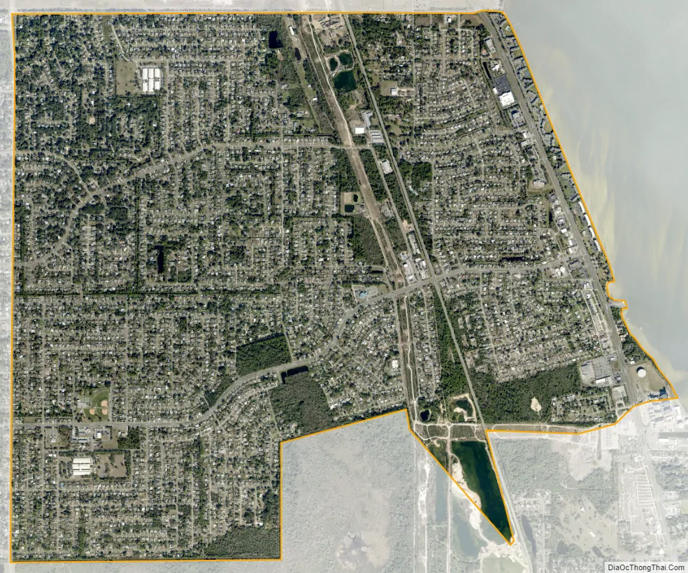
Port St. John city Satellite Map
Geography
Port St. John is located at 28°28′37″N 80°47′19″W / 28.47694°N 80.78861°W / 28.47694; -80.78861 (28.477056, -80.788597).
According to the United States Census Bureau, the CDP has a total area of 3.8 square miles (9.8 km), all of it land.
See also
Map of Florida State and its subdivision:- Alachua
- Baker
- Bay
- Bradford
- Brevard
- Broward
- Calhoun
- Charlotte
- Citrus
- Clay
- Collier
- Columbia
- Desoto
- Dixie
- Duval
- Escambia
- Flagler
- Franklin
- Gadsden
- Gilchrist
- Glades
- Gulf
- Hamilton
- Hardee
- Hendry
- Hernando
- Highlands
- Hillsborough
- Holmes
- Indian River
- Jackson
- Jefferson
- Lafayette
- Lake
- Lee
- Leon
- Levy
- Liberty
- Madison
- Manatee
- Marion
- Martin
- Miami-Dade
- Monroe
- Nassau
- Okaloosa
- Okeechobee
- Orange
- Osceola
- Palm Beach
- Pasco
- Pinellas
- Polk
- Putnam
- Saint Johns
- Saint Lucie
- Santa Rosa
- Sarasota
- Seminole
- Sumter
- Suwannee
- Taylor
- Union
- Volusia
- Wakulla
- Walton
- Washington
- Alabama
- Alaska
- Arizona
- Arkansas
- California
- Colorado
- Connecticut
- Delaware
- District of Columbia
- Florida
- Georgia
- Hawaii
- Idaho
- Illinois
- Indiana
- Iowa
- Kansas
- Kentucky
- Louisiana
- Maine
- Maryland
- Massachusetts
- Michigan
- Minnesota
- Mississippi
- Missouri
- Montana
- Nebraska
- Nevada
- New Hampshire
- New Jersey
- New Mexico
- New York
- North Carolina
- North Dakota
- Ohio
- Oklahoma
- Oregon
- Pennsylvania
- Rhode Island
- South Carolina
- South Dakota
- Tennessee
- Texas
- Utah
- Vermont
- Virginia
- Washington
- West Virginia
- Wisconsin
- Wyoming