Indialantic (officially incorporated as Indialantic-By-The-Sea, though the official name is seldom used in casual parlance) is a town in Brevard County, Florida. The town’s population was 2,720 at the 2010 United States Census. It is part of the Palm Bay–Melbourne–Titusville Metropolitan Statistical Area.
The town’s name is a portmanteau derived from the town’s location between the Indian River Lagoon and the Atlantic Ocean.
| Name: | Indialantic town |
|---|---|
| LSAD Code: | 43 |
| LSAD Description: | town (suffix) |
| State: | Florida |
| County: | Brevard County |
| Elevation: | 13 ft (4 m) |
| Total Area: | 1.31 sq mi (3.39 km²) |
| Land Area: | 0.97 sq mi (2.52 km²) |
| Water Area: | 0.34 sq mi (0.88 km²) |
| Total Population: | 2,888 |
| Population Density: | 3,096.71/sq mi (1,195.76/km²) |
| ZIP code: | 32903 |
| Area code: | 321 |
| FIPS code: | 1233375 |
| GNISfeature ID: | 0284480 |
| Website: | www.Indialantic.com |
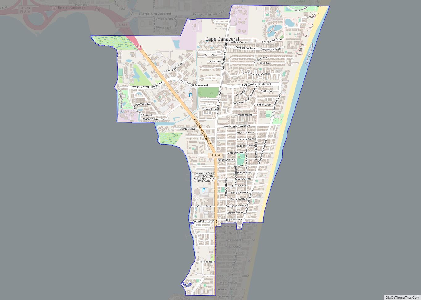
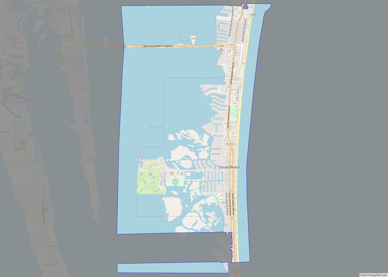
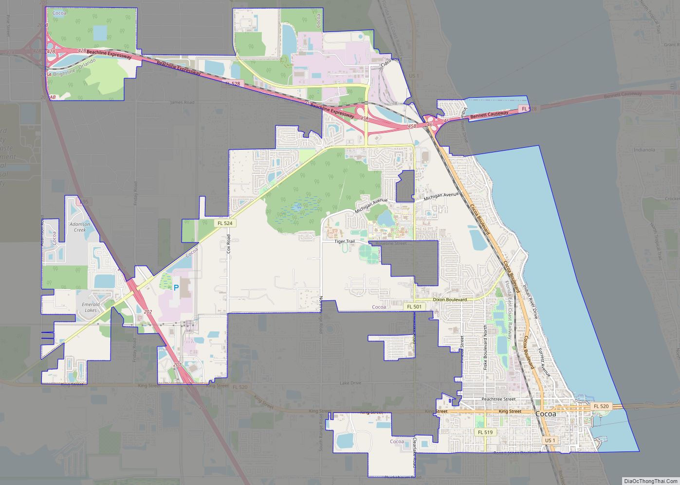
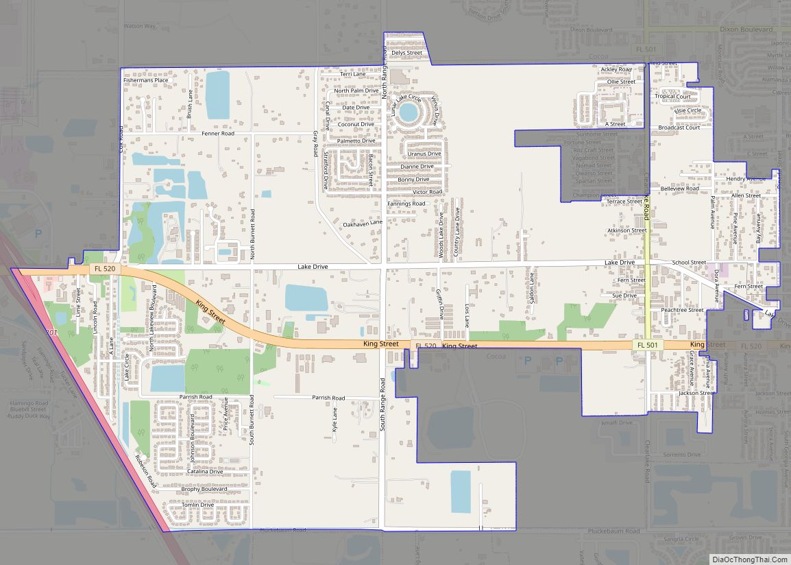
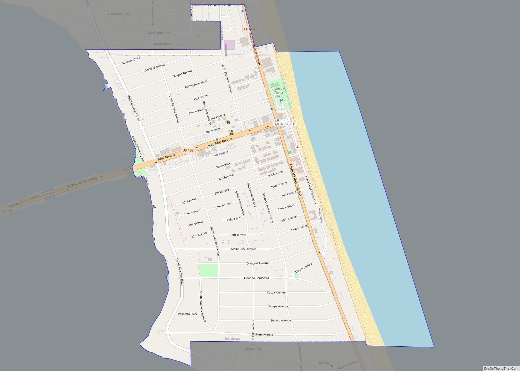
Online Interactive Map
Click on ![]() to view map in "full screen" mode.
to view map in "full screen" mode.
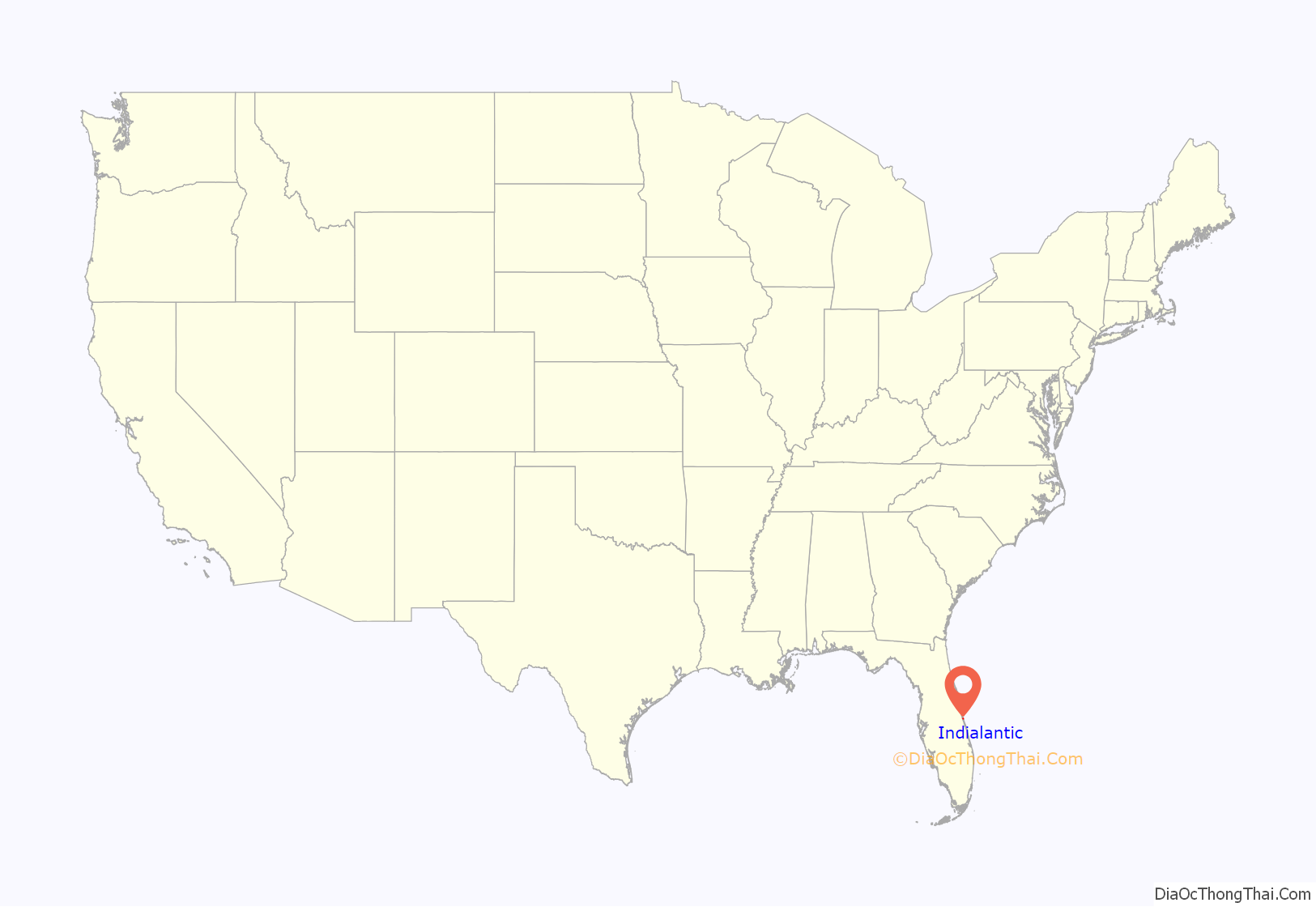
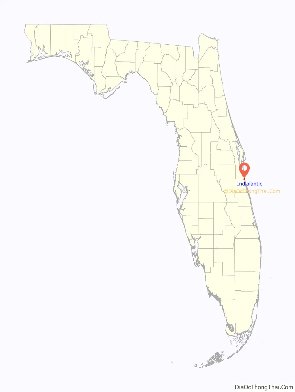
Indialantic location map. Where is Indialantic town?
History
From 1919 to 1921, the Dutchman Ernest Kouwenhoven, who bought the land that ultimately became Indialantic, settled in the area, and built a wooden bridge connecting Indialantic with Melbourne (Bridge #1)
In the 1920s – The Indialantic Hotel was built. Its name was later changed to the Tradewinds Hotel. The hotel was on what is now South Shannon Avenue, the current location of Tradewinds Terrace.
By 1924, the Indialantic Casino was built. Its name was later changed to the Bahama Beach Club. This is the location of Nance Park today.
From 1941 to 1947, the wooden bridge was replaced with a drawbridge, delayed by the war years. (Bridge #2)
In 1952, Indialantic was incorporated with the official (but rarely used in common parlance) name “Indialantic-By-The-Sea”.
In 1985, a modern causeway was built with an elevated span to avoid obstructing boats using the Indian River (Bridge #3)
Indialantic Road Map
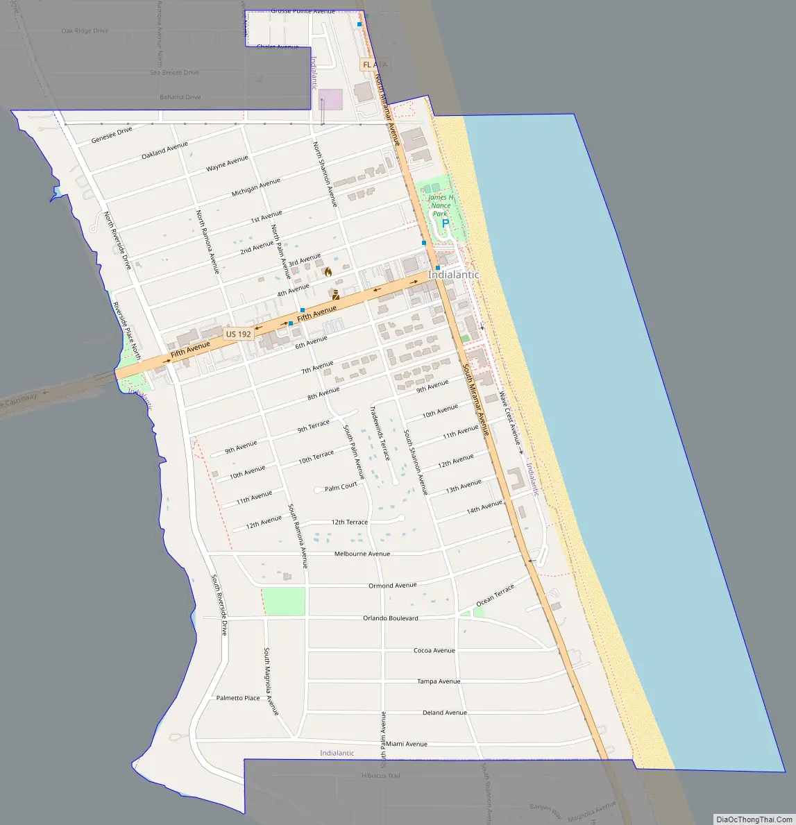
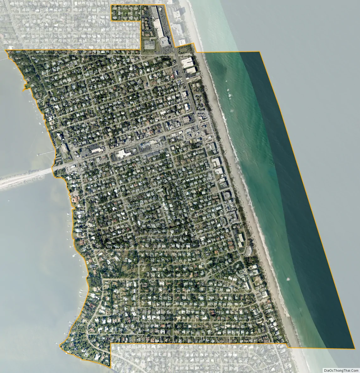
Indialantic city Satellite Map
Geography
Indialantic is situated on the barrier island that separates the Indian River Lagoon from the Atlantic Ocean. This island, approximately 25 miles (40 km) in length, stretches south from Cape Canaveral to the Sebastian Inlet. The Melbourne Causeway connects Indialantic to the city of Melbourne across the Indian River Lagoon. Indialantic is bordered on the south by the town of Melbourne Beach and on the north by unincorporated Brevard County.
According to the United States Census Bureau, the town has a total area of 1.3 square miles (3.4 km). 0.97 square miles (2.5 km) of it is land, and 0.35 square miles (0.9 km) of it (25.80%) is water.
Greater Indialantic
Greater Indialantic, outside the town boundaries, represents a parallel development of suburban beach homes, which for lack of a stronger identity, has assumed that of the nearest town. The Town of Indialantic is a 1 by 1 mile (1.6 by 1.6 km) community. The areas mentioned below are not in town but share a ZIP code with Indialantic.
This area starts with the town of Indialantic on the south and lies between the Atlantic Ocean and the Indian River, extending north just short of the Eau Gallie Causeway (SR 518). It includes mostly unincorporated parts of Brevard County but also includes a development that is part of the city of Melbourne, otherwise a mainland community.
Included are these developments:
- Canova Beach
- Cloisters
- Coventry
- Highland Groves
- Indialantic Heights
- North Atlantic by the Sea
- Ocean Park
- Oceanside Village
- Palm Colony
- Puesta del Sol
- Rio Linda
- Rio Villa
- River Shores
- Riviera
- Sanctuary (part of the City of Melbourne)
- Shady Shores
- Terrace Shores
See also
Map of Florida State and its subdivision:- Alachua
- Baker
- Bay
- Bradford
- Brevard
- Broward
- Calhoun
- Charlotte
- Citrus
- Clay
- Collier
- Columbia
- Desoto
- Dixie
- Duval
- Escambia
- Flagler
- Franklin
- Gadsden
- Gilchrist
- Glades
- Gulf
- Hamilton
- Hardee
- Hendry
- Hernando
- Highlands
- Hillsborough
- Holmes
- Indian River
- Jackson
- Jefferson
- Lafayette
- Lake
- Lee
- Leon
- Levy
- Liberty
- Madison
- Manatee
- Marion
- Martin
- Miami-Dade
- Monroe
- Nassau
- Okaloosa
- Okeechobee
- Orange
- Osceola
- Palm Beach
- Pasco
- Pinellas
- Polk
- Putnam
- Saint Johns
- Saint Lucie
- Santa Rosa
- Sarasota
- Seminole
- Sumter
- Suwannee
- Taylor
- Union
- Volusia
- Wakulla
- Walton
- Washington
- Alabama
- Alaska
- Arizona
- Arkansas
- California
- Colorado
- Connecticut
- Delaware
- District of Columbia
- Florida
- Georgia
- Hawaii
- Idaho
- Illinois
- Indiana
- Iowa
- Kansas
- Kentucky
- Louisiana
- Maine
- Maryland
- Massachusetts
- Michigan
- Minnesota
- Mississippi
- Missouri
- Montana
- Nebraska
- Nevada
- New Hampshire
- New Jersey
- New Mexico
- New York
- North Carolina
- North Dakota
- Ohio
- Oklahoma
- Oregon
- Pennsylvania
- Rhode Island
- South Carolina
- South Dakota
- Tennessee
- Texas
- Utah
- Vermont
- Virginia
- Washington
- West Virginia
- Wisconsin
- Wyoming