Merritt Island is an island, in Brevard County, Florida, United States, located on the eastern Floridian coast, along the Atlantic Ocean. It is also the name of an unincorporated town in the central and southern parts of the island and a census-designated place (CDP).
The population was 34,518 at the 2020 census. It is part of the Palm Bay – Melbourne – Titusville, Florida Metropolitan Statistical Area.
NASA’s John F. Kennedy Space Center is located on Merritt Island to the north of the town, and Merritt Island National Wildlife Refuge is located north of the space center.
The central part of Merritt Island, previously known as Merritt City, is home to the majority of the population and includes the local high school, library, and shopping district. The southern area is heavily residential, with centralized light commercial and light industrial areas.
| Name: | Merritt Island CDP |
|---|---|
| LSAD Code: | 57 |
| LSAD Description: | CDP (suffix) |
| State: | Florida |
| County: | Brevard County |
| Elevation: | 3 ft (1 m) |
| Total Area: | 46.16 sq mi (119.54 km²) |
| Land Area: | 16.97 sq mi (43.96 km²) |
| Water Area: | 29.18 sq mi (75.59 km²) |
| Total Population: | 34,518 |
| Population Density: | 2,033.94/sq mi (785.30/km²) |
| ZIP code: | 32952-32954 |
| Area code: | 321 |
| FIPS code: | 1244275 |
| GNISfeature ID: | 0294625 |
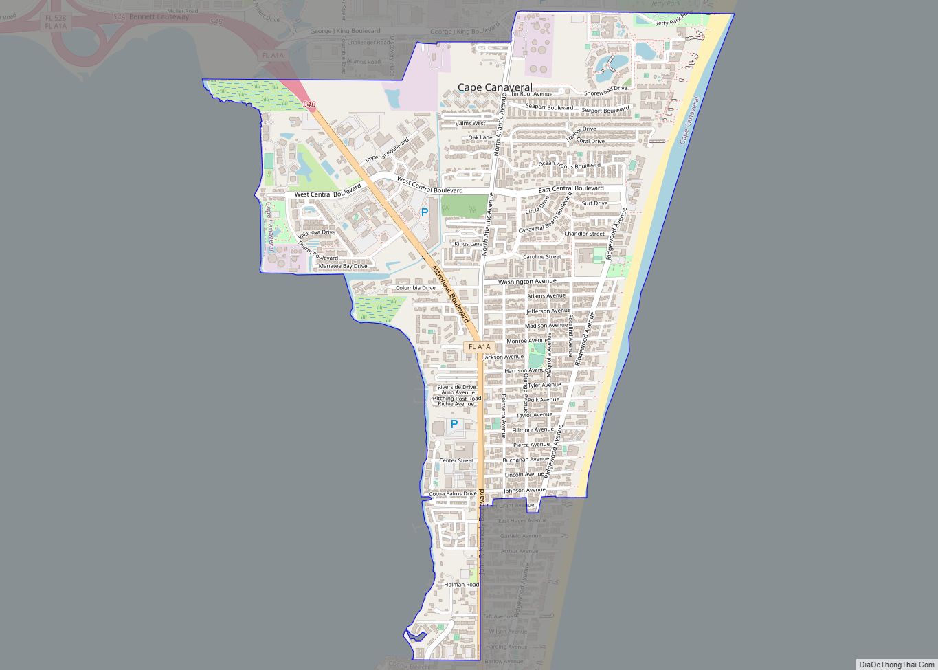
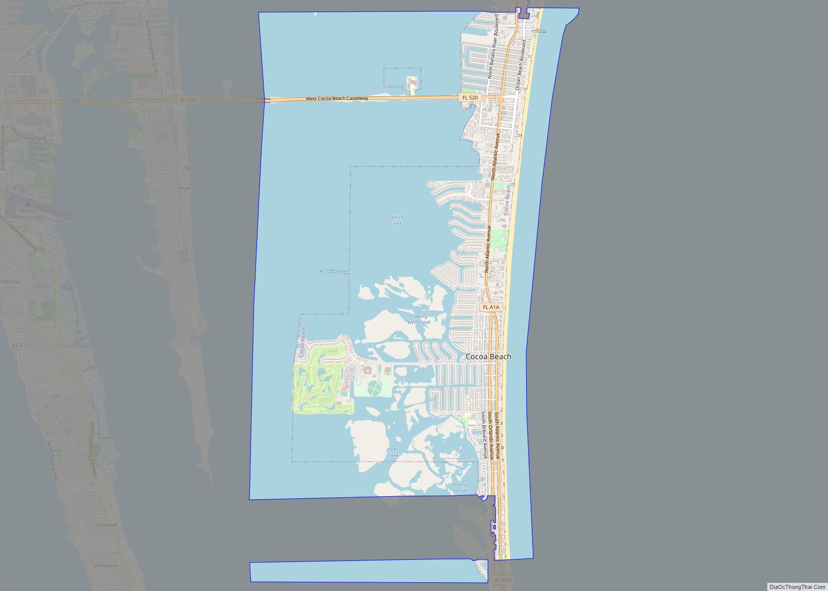
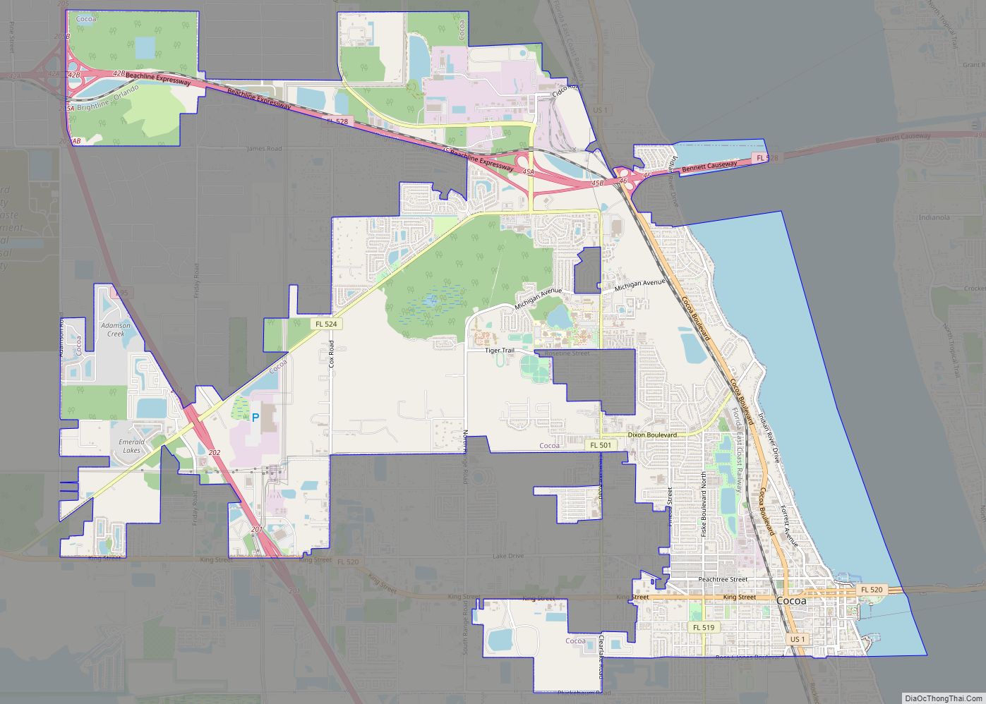
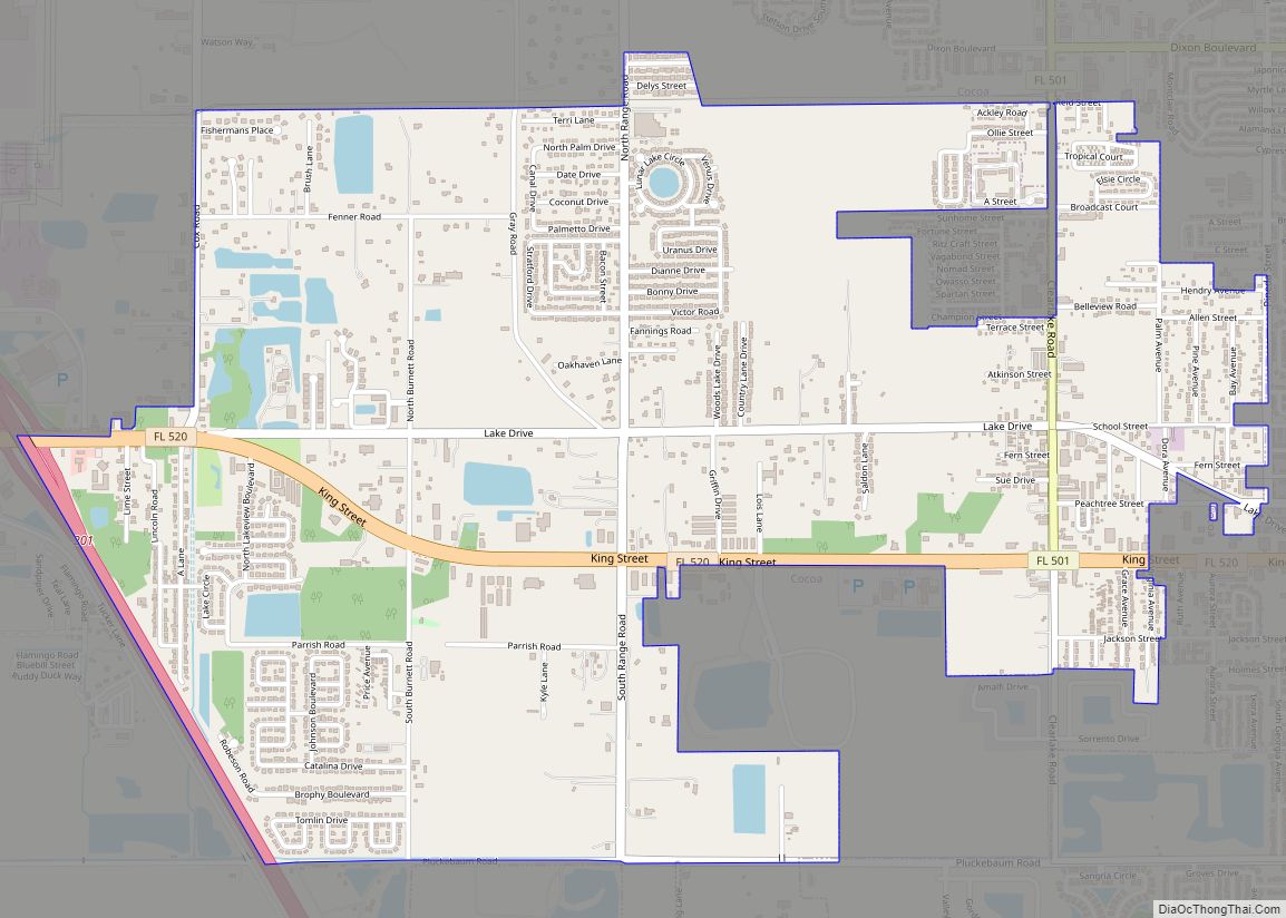
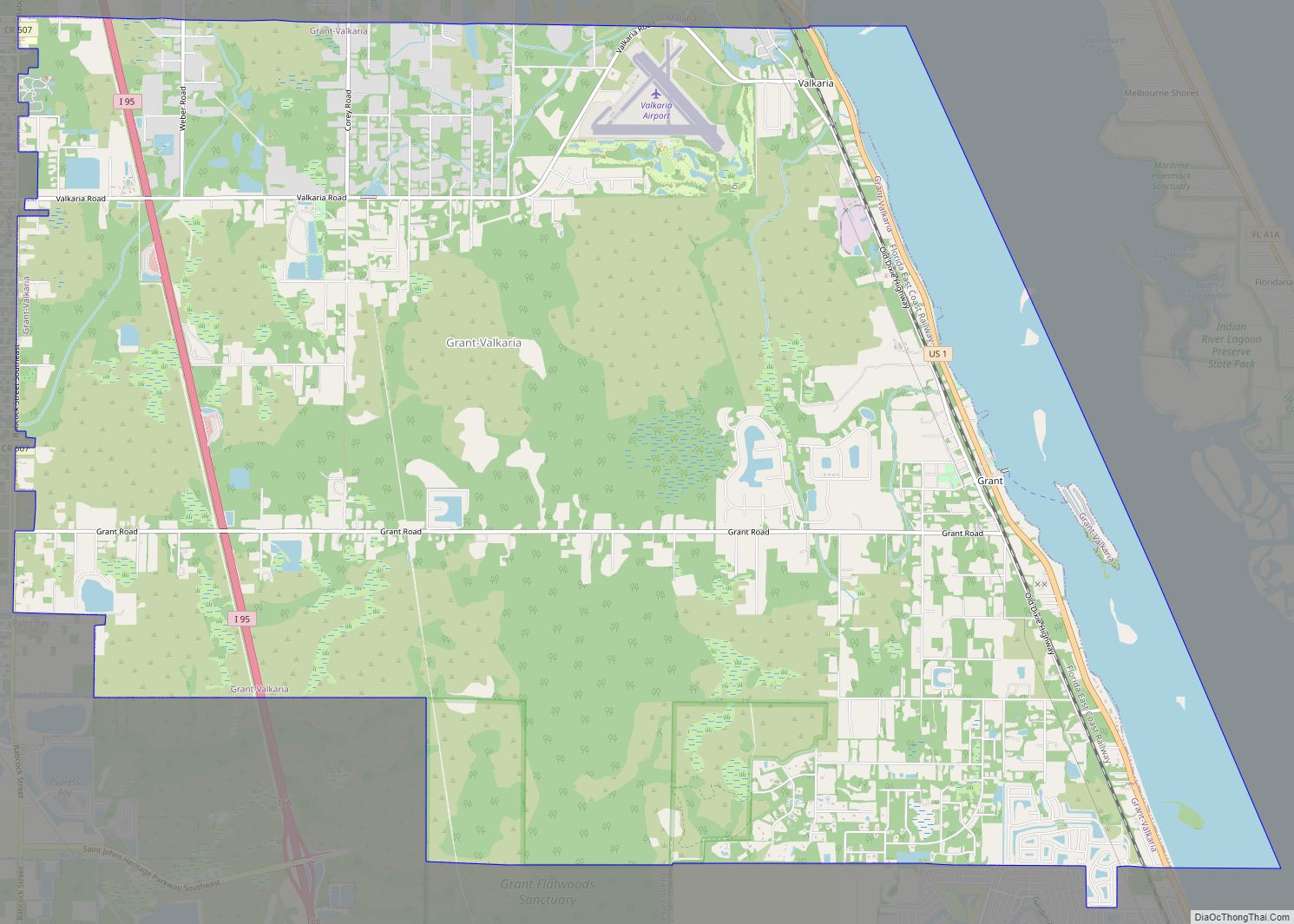
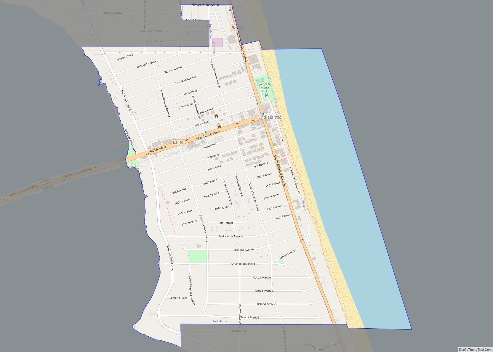
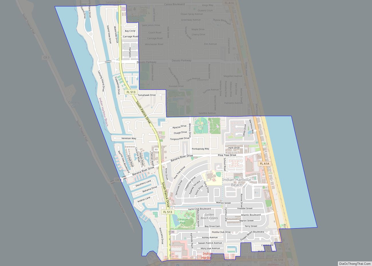
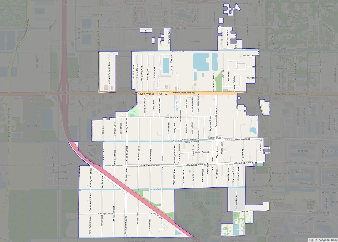
Online Interactive Map
Click on ![]() to view map in "full screen" mode.
to view map in "full screen" mode.
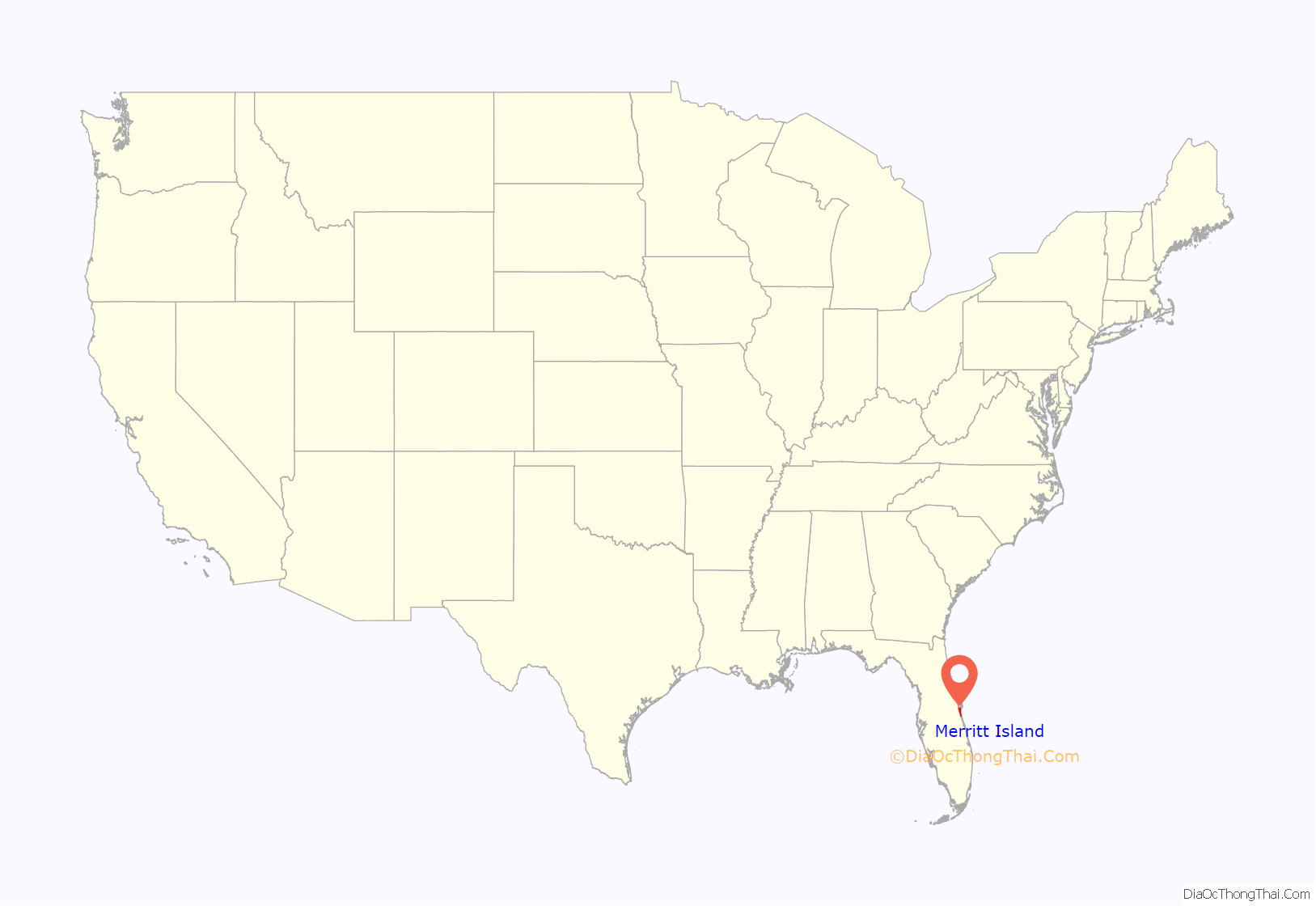
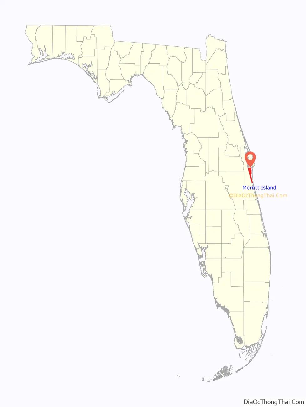
Merritt Island location map. Where is Merritt Island CDP?
History
Etymology
Merritt Island owes its name to the King of Spain. The entire island was part of a land grant given by the King to a nobleman named Merritt.
Pre-Columbian
Archaeological excavations have uncovered the fossils of extinct animals such as mastodons, giant land tortoise, camel, glyptodont, horse, mammoth, giant armadillo, peccary, and tapir, which lived in the area up to 11,000 years ago. Their extinction was part of a larger North American die-off in which native horses, mastodons and other camelidaes also died out. Possibilities for extinction include global climate change and hunting pressure from the arrival of the Clovis people, who were prolific hunters with distinct fluted stone tools which allowed for a spear to be attached to the stone tool. This megafaunal extinction coincided roughly with the appearance of the big game hunting Clovis culture, and biochemical analyses have shown that Clovis tools were used in hunting camels.
By at least 800 to 900 BC, permanent Native American structures occupied the area. Their mounds populated the lagoon margin.
Post-Columbian
In 1605, Spanish explorer Álvaro Mexía visited while on a diplomatic mission to the local tribes living in the Indian River area. He called the local tribe of Ais people, part of the native province of Ulumay. Merritt Island is the prominent island on a color map he drew of the area, a copy of which is in the archives at the Library of Congress and the archives in Seville, Spain. Within a few years, all but a handful of these natives were dead from an epidemic that plagued the area after the arrival of a shipwrecked British merchant.
In the 1760s, the Elliott Plantation grew sugar and milled it. Remains of the plantation can be found in the Wildlife Refuge. In April 1788, French botanist André Michaux traveled in Merritt Island, near Cape Canaveral. He spent five days looking for plants. He wrote a letter on April 24, 1788, from St Augustine. He reported discovering the flag or bigflower paw-paw, Asimina obovata (Annona grandiflora (Bartr.)).
In 1837, Fort Ann was constructed on the east coast of Merritt Island near the present day Haulover Canal, to protect the area against the Seminoles. Merritt Island’s recent history dates back to the mid-19th century and centers on the growth of citrus, stressing the cultivation of pineapples and oranges. The Indian River oranges and grapefruit come from this sandy area. Freezes destroyed the local pineapple industry in the late 1890s. Freed slaves constructed small towns in the area after the Civil War, including Haulover, Clifton, and Shiloh.
The island’s population grew in the 1950s and 1960s as the Space Race began and nearby NASA expanded. Construction of a barge canal to the Intracoastal Waterway from the Atlantic Ocean (for power plant oil shipments) cut off the northern half of the island for many years. To this day, the northern portion of the island remains slightly less developed, with a few areas remaining as cattle pasture or citrus land. The small towns on the island vanished with the coming of the Space Age, and now only live on in the names of streets and historic churches. In 1988, citizens defeated a proposed incorporation into a city, 77% opposed to 23% in favor.
Sea Ray Boats operated a factory on Merritt Island from 1978 to 2012. At one time it employed 1200 people. It closed the plant in 2013.
Merritt Island Road Map
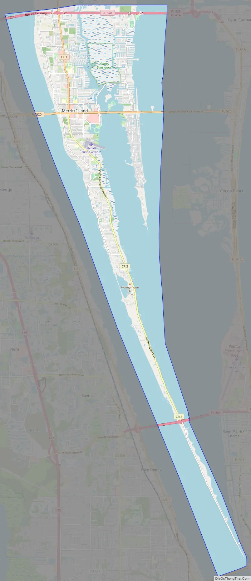
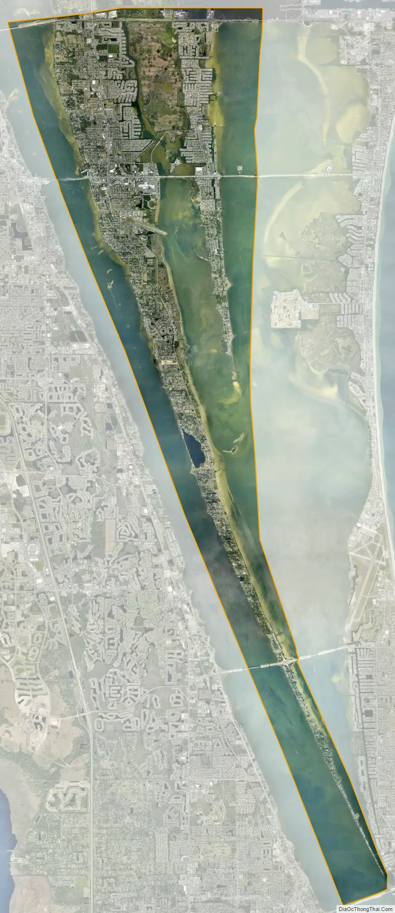
Merritt Island city Satellite Map
Geography
Merritt Island extends some 46 mi (74 km) from the Volusia County line to Dragon Point near Melbourne. It connects to the Florida mainland where SR 3 now intersects US 1 in Volusia County. To the west it is separated from the mainland by the Indian River and the Atlantic Intracoastal Waterway. To the east it is separated by the Mosquito Lagoon and the Banana River from the barrier island on which Cape Canaveral and Cocoa Beach stand. The east side of Merritt Island splits and is divided by Sykes Creek and Newfound Harbor.
In the north, the Haulover Canal, first dug in the 19th century, separates the island from the mainland. To the west, the island is connected by causeways to mainland Brevard County near Titusville and Cocoa on its northern end, and in Melbourne on its southern end. To the east the island is connected to Cape Canaveral by the Crawlerway, and by causeways to Cocoa Beach and Satellite Beach.
According to the United States Census Bureau, the CDP has a total area of 122.2 km (47.2 sq mi), of which 45.4 km (17.5 sq mi) is land and 76.8 km (29.7 sq mi), or 62.88%, is water.
Fauna
To the north, Merritt Island National Wildlife Refuge, along with a narrow barrier island that make up Canaveral National Seashore, offer an unpopulated protected buffer area for rocket launches at Kennedy Space Center. There are about 356 species of birds on the peninsula, one of the most diverse in the country. Migratory birds join the more resident wildlife, including alligators, manatees, dolphins, sea turtles, bald eagles, ospreys, bobcats, and the elusive Florida panther. A number of bald eagle nests are monitored atop power line poles along SR 3 within Kennedy Space Center.
There are about 12,000 feral pigs in North Merritt Island. Licensed trappers catch about 2,000 annually, which keeps the population even. The United States Fish and Wildlife Service would like to reduce the population.
Places on Merritt Island
Merritt Island has or had 23 named communities, all unincorporated, including:
- Allenhurst
- Angel City
- Audubon
- Banyan
- Courtenay
- Fairyland
- Georgiana
- Heath
- Indianola
- Lotus
- Merritt City
- Orsino
- Shiloh
- Tropic
- Wilson
See also
Map of Florida State and its subdivision:- Alachua
- Baker
- Bay
- Bradford
- Brevard
- Broward
- Calhoun
- Charlotte
- Citrus
- Clay
- Collier
- Columbia
- Desoto
- Dixie
- Duval
- Escambia
- Flagler
- Franklin
- Gadsden
- Gilchrist
- Glades
- Gulf
- Hamilton
- Hardee
- Hendry
- Hernando
- Highlands
- Hillsborough
- Holmes
- Indian River
- Jackson
- Jefferson
- Lafayette
- Lake
- Lee
- Leon
- Levy
- Liberty
- Madison
- Manatee
- Marion
- Martin
- Miami-Dade
- Monroe
- Nassau
- Okaloosa
- Okeechobee
- Orange
- Osceola
- Palm Beach
- Pasco
- Pinellas
- Polk
- Putnam
- Saint Johns
- Saint Lucie
- Santa Rosa
- Sarasota
- Seminole
- Sumter
- Suwannee
- Taylor
- Union
- Volusia
- Wakulla
- Walton
- Washington
- Alabama
- Alaska
- Arizona
- Arkansas
- California
- Colorado
- Connecticut
- Delaware
- District of Columbia
- Florida
- Georgia
- Hawaii
- Idaho
- Illinois
- Indiana
- Iowa
- Kansas
- Kentucky
- Louisiana
- Maine
- Maryland
- Massachusetts
- Michigan
- Minnesota
- Mississippi
- Missouri
- Montana
- Nebraska
- Nevada
- New Hampshire
- New Jersey
- New Mexico
- New York
- North Carolina
- North Dakota
- Ohio
- Oklahoma
- Oregon
- Pennsylvania
- Rhode Island
- South Carolina
- South Dakota
- Tennessee
- Texas
- Utah
- Vermont
- Virginia
- Washington
- West Virginia
- Wisconsin
- Wyoming