West Melbourne is a city in Brevard County, Florida, United States. It was created in 1959 to stop the area from being annexed into the city of Melbourne. As of the 2010 United States Census, the population was 18,355, reflecting an increase of 8,531 from the 9,824 counted in the 2000 Census. In 1970, the city’s population was approximately 3,050. Since 2000, the city has experienced the highest population growth percentage of any municipality in Brevard County. It is part of the Palm Bay–Melbourne–Titusville Metropolitan Statistical Area.
| Name: | West Melbourne city |
|---|---|
| LSAD Code: | 25 |
| LSAD Description: | city (suffix) |
| State: | Florida |
| County: | Brevard County |
| Elevation: | 30 ft (9 m) |
| Total Area: | 10.86 sq mi (28.13 km²) |
| Land Area: | 10.66 sq mi (27.60 km²) |
| Water Area: | 0.20 sq mi (0.53 km²) |
| Total Population: | 25,924 |
| Population Density: | 2,432.81/sq mi (939.28/km²) |
| ZIP code: | 32904, 32912 |
| Area code: | 321 |
| FIPS code: | 1276500 |
| GNISfeature ID: | 0293092 |
| Website: | www.WestMelbourne.org |
Online Interactive Map
Click on ![]() to view map in "full screen" mode.
to view map in "full screen" mode.
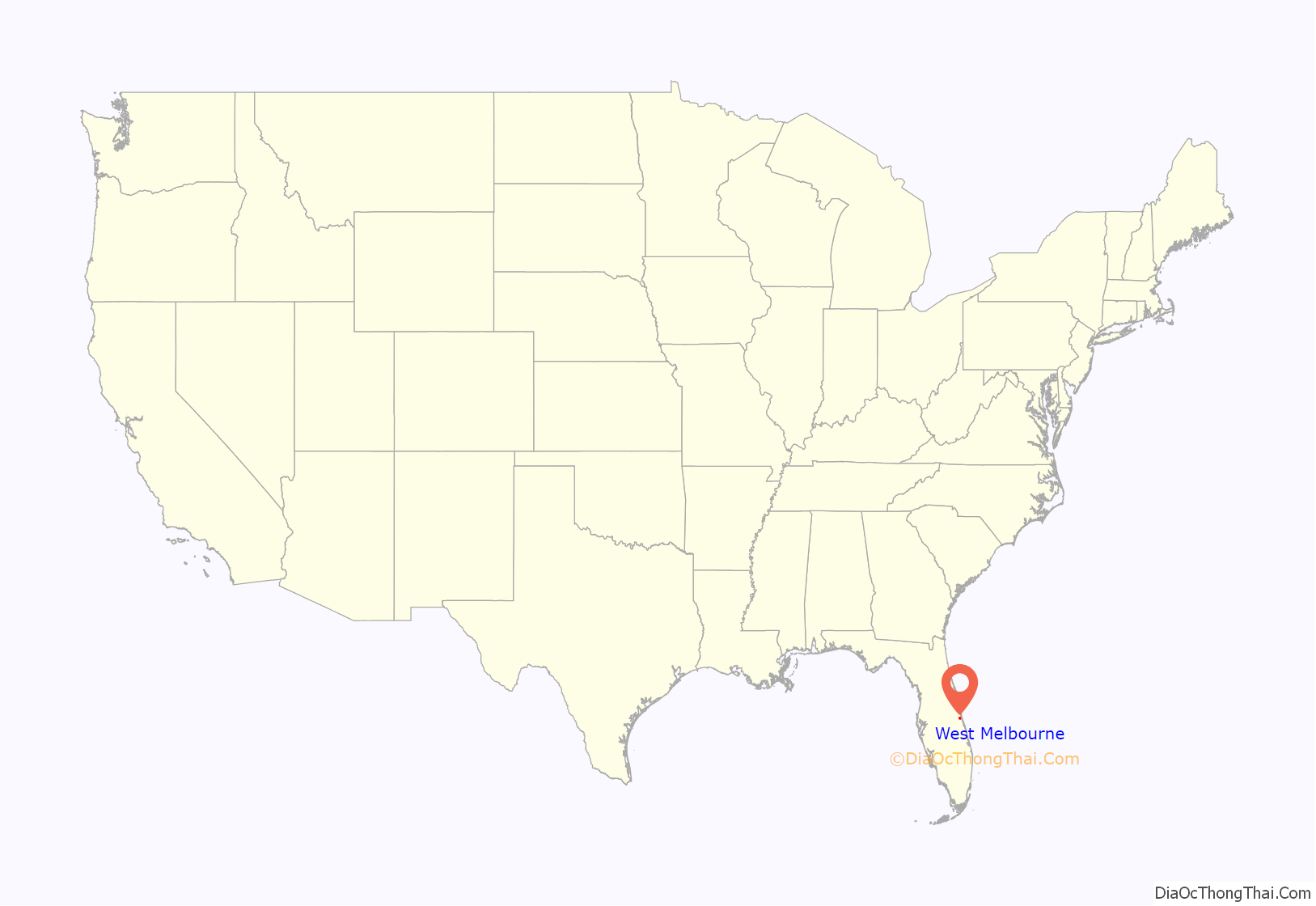
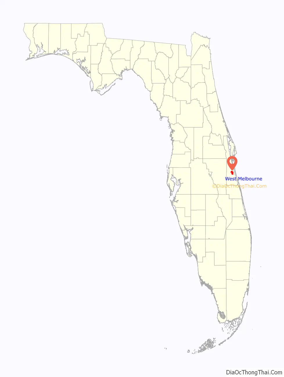
West Melbourne location map. Where is West Melbourne city?
History
Voters created the city in 1959 to stop the area from being annexed into the City of Melbourne.
In 2005, the City of West Melbourne started charging property taxes for the first time in its existence (since 1959). Prior to 2005, the city survived on a “fees only” tax revenue system for its $17 million budget.
From 2005 to 2014, home-schooled students, all three children from a West Melbourne family, won the state spelling bee championship a total of seven times, from two to three times each.
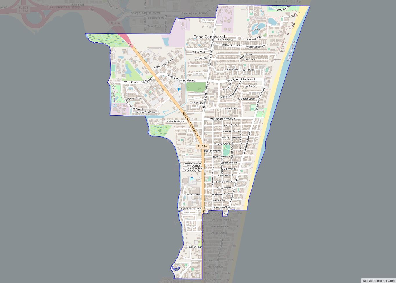
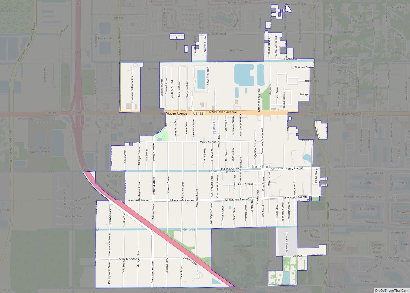
West Melbourne Road Map
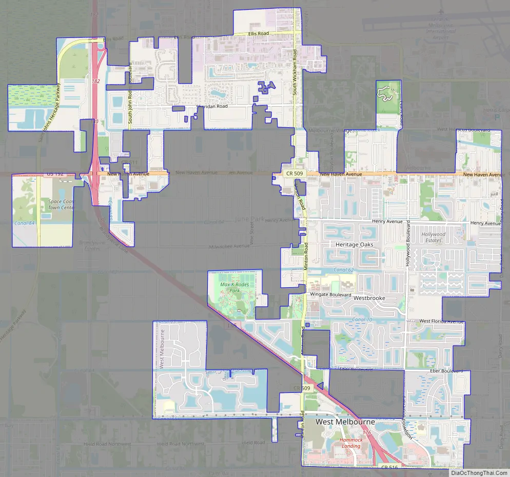
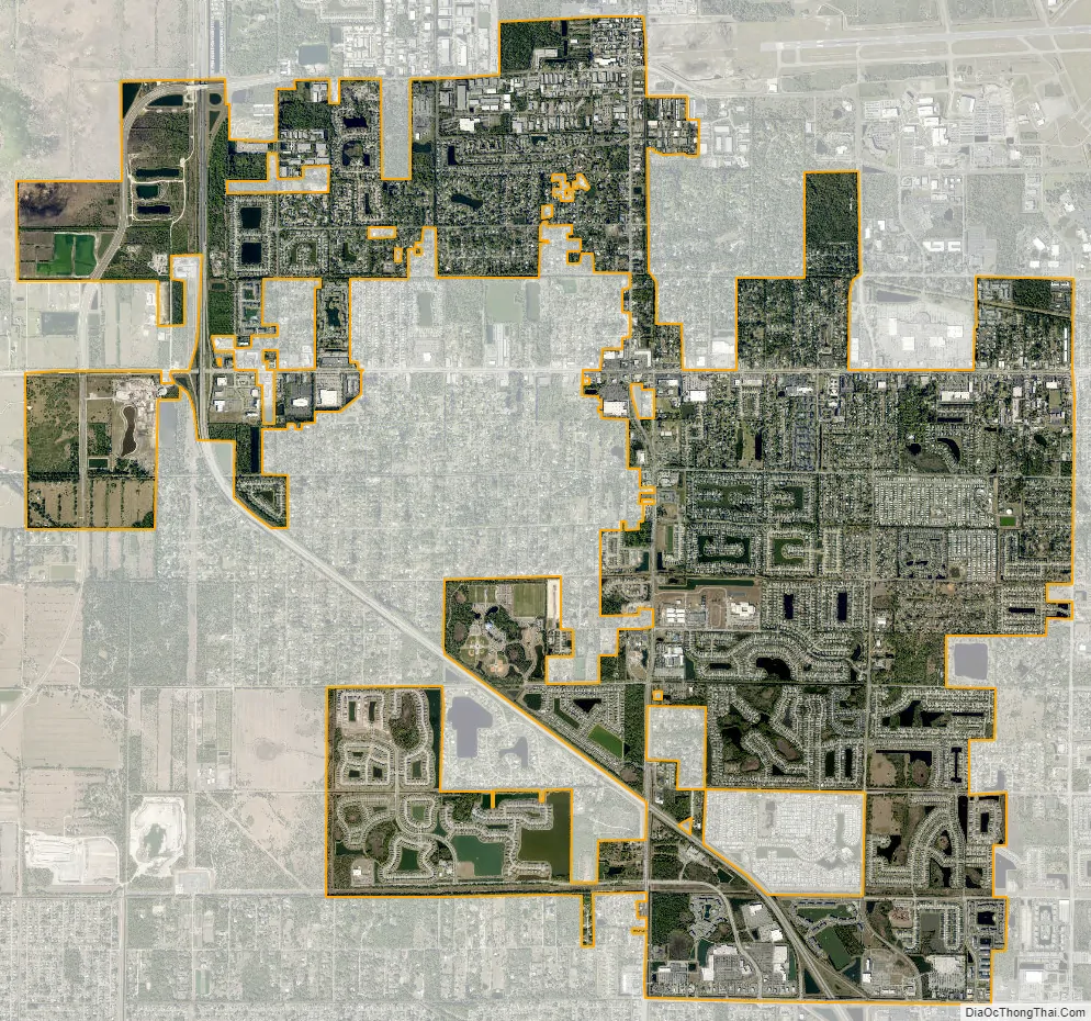
West Melbourne city Satellite Map
Geography
West Melbourne is located at 28°4′40″N 80°39′55″W / 28.07778°N 80.66528°W / 28.07778; -80.66528 (28.077895, −80.665326).
According to the U.S. Census Bureau, the city has a total area of 10.2 square miles (26.5 km). 10.2 square miles (26.4 km) of it is land, and 0.04 square miles (0.1 km) of it (0.21%) is water.
Climate
See also
Map of Florida State and its subdivision:- Alachua
- Baker
- Bay
- Bradford
- Brevard
- Broward
- Calhoun
- Charlotte
- Citrus
- Clay
- Collier
- Columbia
- Desoto
- Dixie
- Duval
- Escambia
- Flagler
- Franklin
- Gadsden
- Gilchrist
- Glades
- Gulf
- Hamilton
- Hardee
- Hendry
- Hernando
- Highlands
- Hillsborough
- Holmes
- Indian River
- Jackson
- Jefferson
- Lafayette
- Lake
- Lee
- Leon
- Levy
- Liberty
- Madison
- Manatee
- Marion
- Martin
- Miami-Dade
- Monroe
- Nassau
- Okaloosa
- Okeechobee
- Orange
- Osceola
- Palm Beach
- Pasco
- Pinellas
- Polk
- Putnam
- Saint Johns
- Saint Lucie
- Santa Rosa
- Sarasota
- Seminole
- Sumter
- Suwannee
- Taylor
- Union
- Volusia
- Wakulla
- Walton
- Washington
- Alabama
- Alaska
- Arizona
- Arkansas
- California
- Colorado
- Connecticut
- Delaware
- District of Columbia
- Florida
- Georgia
- Hawaii
- Idaho
- Illinois
- Indiana
- Iowa
- Kansas
- Kentucky
- Louisiana
- Maine
- Maryland
- Massachusetts
- Michigan
- Minnesota
- Mississippi
- Missouri
- Montana
- Nebraska
- Nevada
- New Hampshire
- New Jersey
- New Mexico
- New York
- North Carolina
- North Dakota
- Ohio
- Oklahoma
- Oregon
- Pennsylvania
- Rhode Island
- South Carolina
- South Dakota
- Tennessee
- Texas
- Utah
- Vermont
- Virginia
- Washington
- West Virginia
- Wisconsin
- Wyoming