Avenue B and C or B&C Colonia is a census-designated place (CDP) and colonia in Yuma County, Arizona, United States. The population was 4,176 at the 2010 census. Area that are part of Avenue B and C were first subdivided in the 1920s and 1930s. The colonia received a sewer system in 2011. It is the fifth most populous community in Yuma County and second most populous CDP (behind Fortuna Foothills).
| Name: | Avenue B and C CDP |
|---|---|
| LSAD Code: | 57 |
| LSAD Description: | CDP (suffix) |
| State: | Arizona |
| County: | Yuma County |
| Total Area: | 0.74 sq mi (1.92 km²) |
| Land Area: | 0.74 sq mi (1.91 km²) |
| Water Area: | 0.01 sq mi (0.02 km²) |
| Total Population: | 4,101 |
| Population Density: | 5,572.01/sq mi (2,152.53/km²) |
| ZIP code: | 85364 |
| Area code: | 928 |
| FIPS code: | 0404710 |
Online Interactive Map
Click on ![]() to view map in "full screen" mode.
to view map in "full screen" mode.
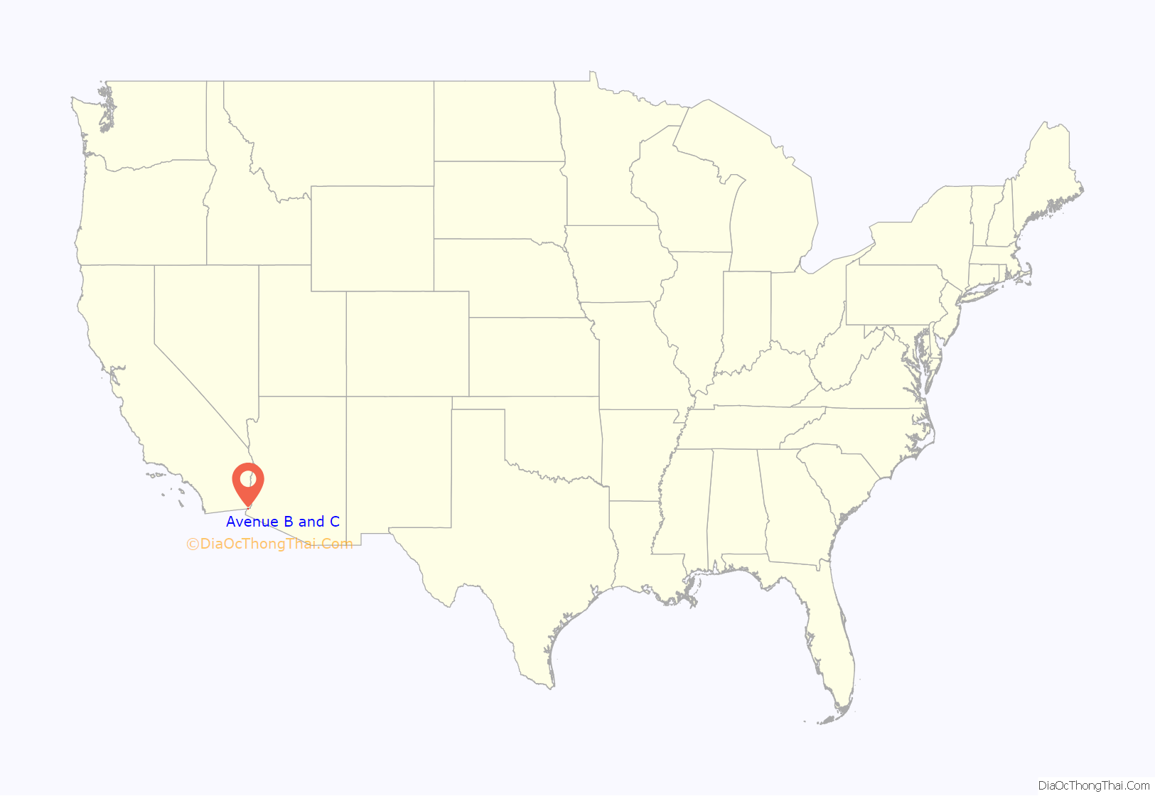
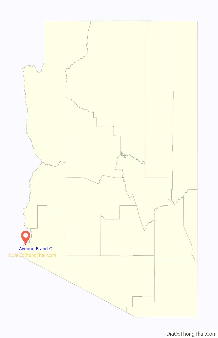
Avenue B and C location map. Where is Avenue B and C CDP?
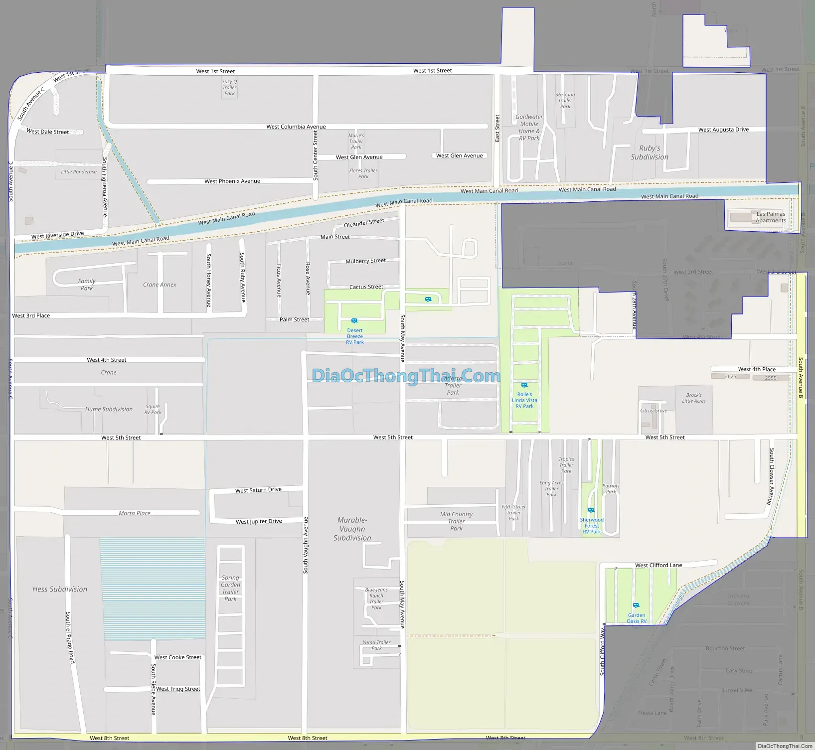
Avenue B and C Road Map
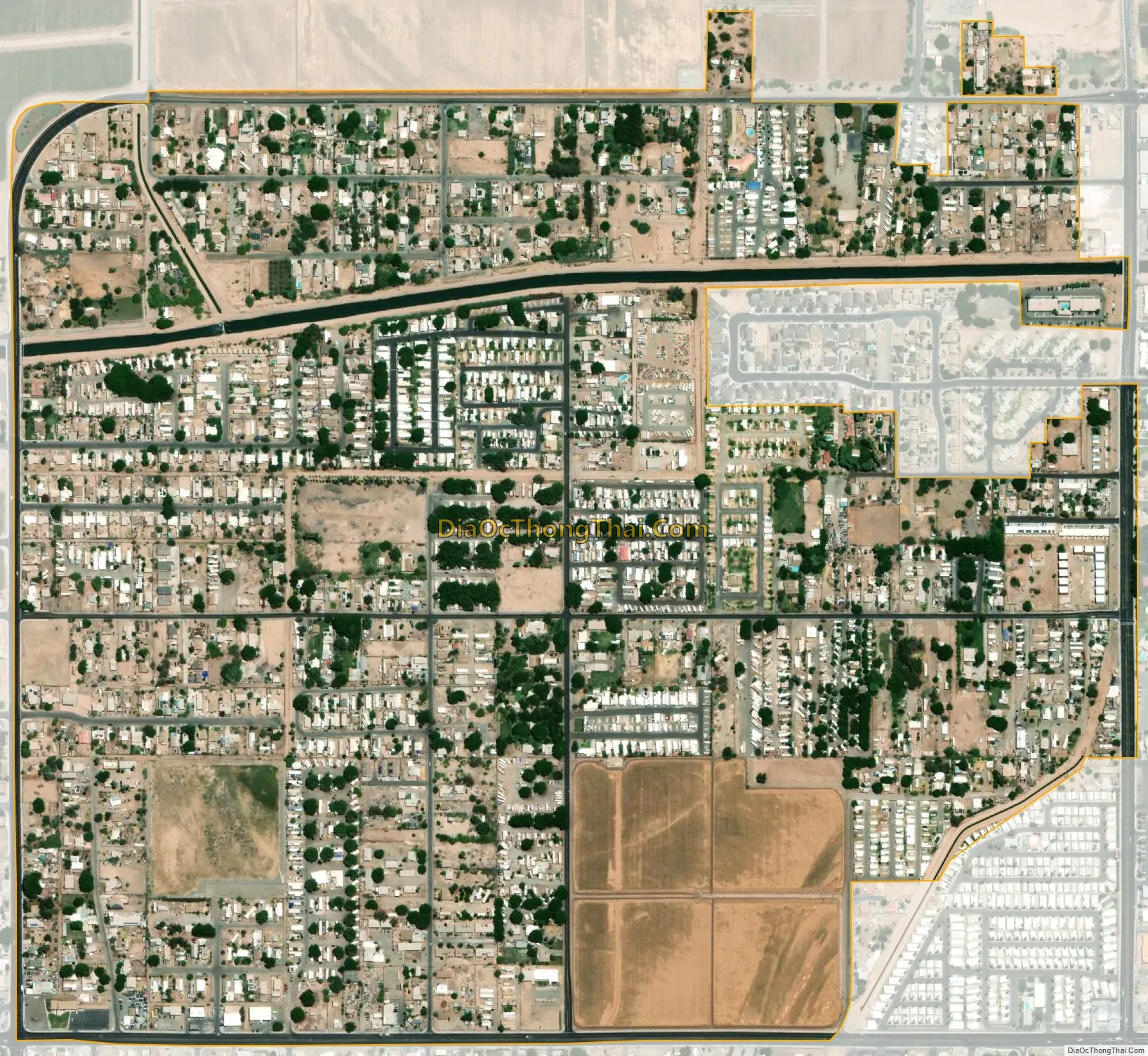
Avenue B and C city Satellite Map
See also
Map of Arizona State and its subdivision: Map of other states:- Alabama
- Alaska
- Arizona
- Arkansas
- California
- Colorado
- Connecticut
- Delaware
- District of Columbia
- Florida
- Georgia
- Hawaii
- Idaho
- Illinois
- Indiana
- Iowa
- Kansas
- Kentucky
- Louisiana
- Maine
- Maryland
- Massachusetts
- Michigan
- Minnesota
- Mississippi
- Missouri
- Montana
- Nebraska
- Nevada
- New Hampshire
- New Jersey
- New Mexico
- New York
- North Carolina
- North Dakota
- Ohio
- Oklahoma
- Oregon
- Pennsylvania
- Rhode Island
- South Carolina
- South Dakota
- Tennessee
- Texas
- Utah
- Vermont
- Virginia
- Washington
- West Virginia
- Wisconsin
- Wyoming


