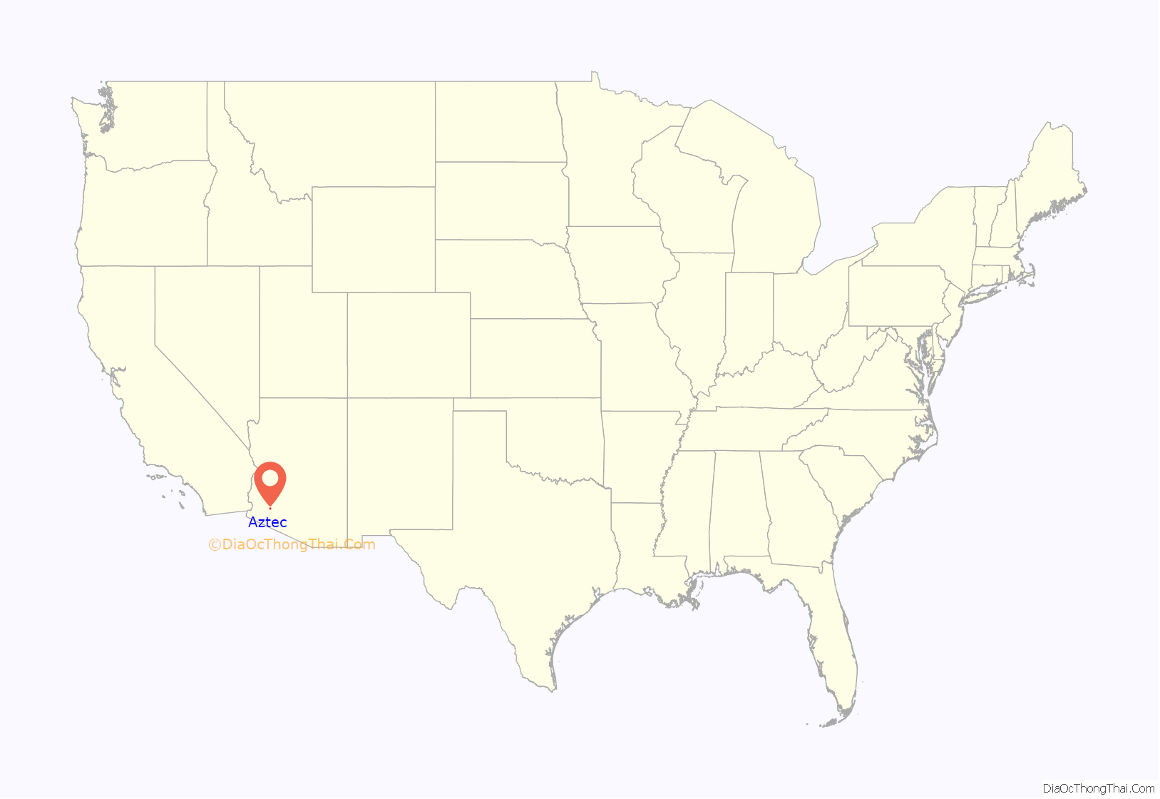
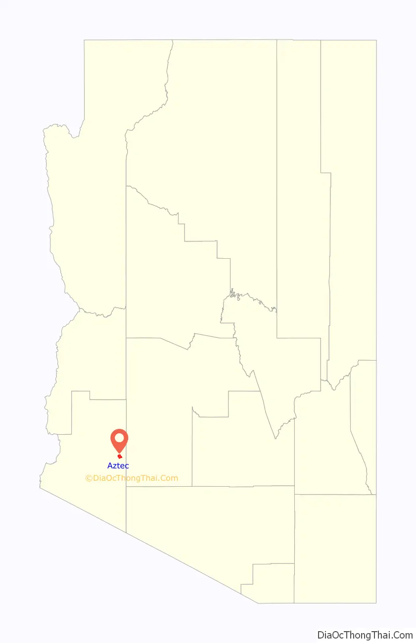
Aztec is a census designated place situated in Yuma County, Arizona, United States. It had a population of 47 as of the 2010 U.S. Census. As of July 2015, Aztec had an estimated population of 52. It has an estimated elevation of 509 feet (155 m) above sea level. It is located along Interstate 8 to the west of Tenmile Wash.
| Name: | Aztec CDP |
|---|---|
| LSAD Code: | 57 |
| LSAD Description: | CDP (suffix) |
| State: | Arizona |
| County: | Yuma County |
| Elevation: | 509 ft (155 m) |
| Total Area: | 6.37 sq mi (16.50 km²) |
| Land Area: | 6.37 sq mi (16.50 km²) |
| Water Area: | 0.00 sq mi (0.00 km²) |
| Total Population: | 2 |
| Population Density: | 0.31/sq mi (0.12/km²) |
| Area code: | 520 |
| FIPS code: | 0404930 |
| GNISfeature ID: | 2582734 |
Online Interactive Map
Click on ![]() to view map in "full screen" mode.
to view map in "full screen" mode.
Aztec location map. Where is Aztec CDP?
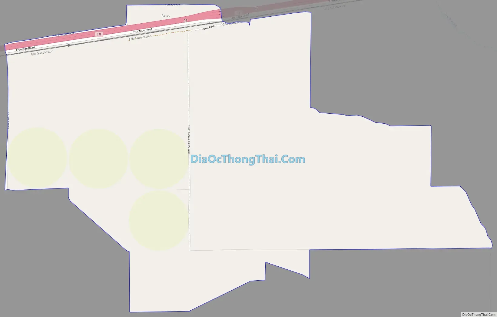
Aztec Road Map
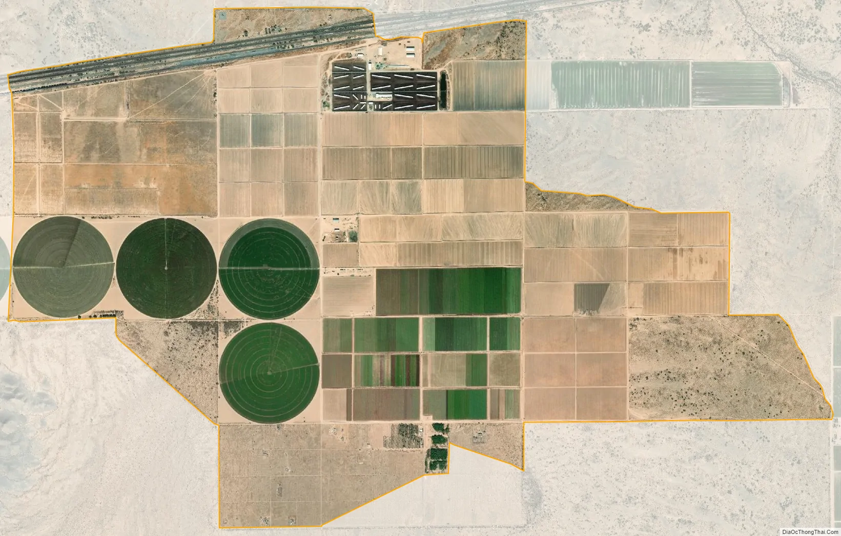
Aztec city Satellite Map
See also
Map of Arizona State and its subdivision: Map of other states:- Alabama
- Alaska
- Arizona
- Arkansas
- California
- Colorado
- Connecticut
- Delaware
- District of Columbia
- Florida
- Georgia
- Hawaii
- Idaho
- Illinois
- Indiana
- Iowa
- Kansas
- Kentucky
- Louisiana
- Maine
- Maryland
- Massachusetts
- Michigan
- Minnesota
- Mississippi
- Missouri
- Montana
- Nebraska
- Nevada
- New Hampshire
- New Jersey
- New Mexico
- New York
- North Carolina
- North Dakota
- Ohio
- Oklahoma
- Oregon
- Pennsylvania
- Rhode Island
- South Carolina
- South Dakota
- Tennessee
- Texas
- Utah
- Vermont
- Virginia
- Washington
- West Virginia
- Wisconsin
- Wyoming


