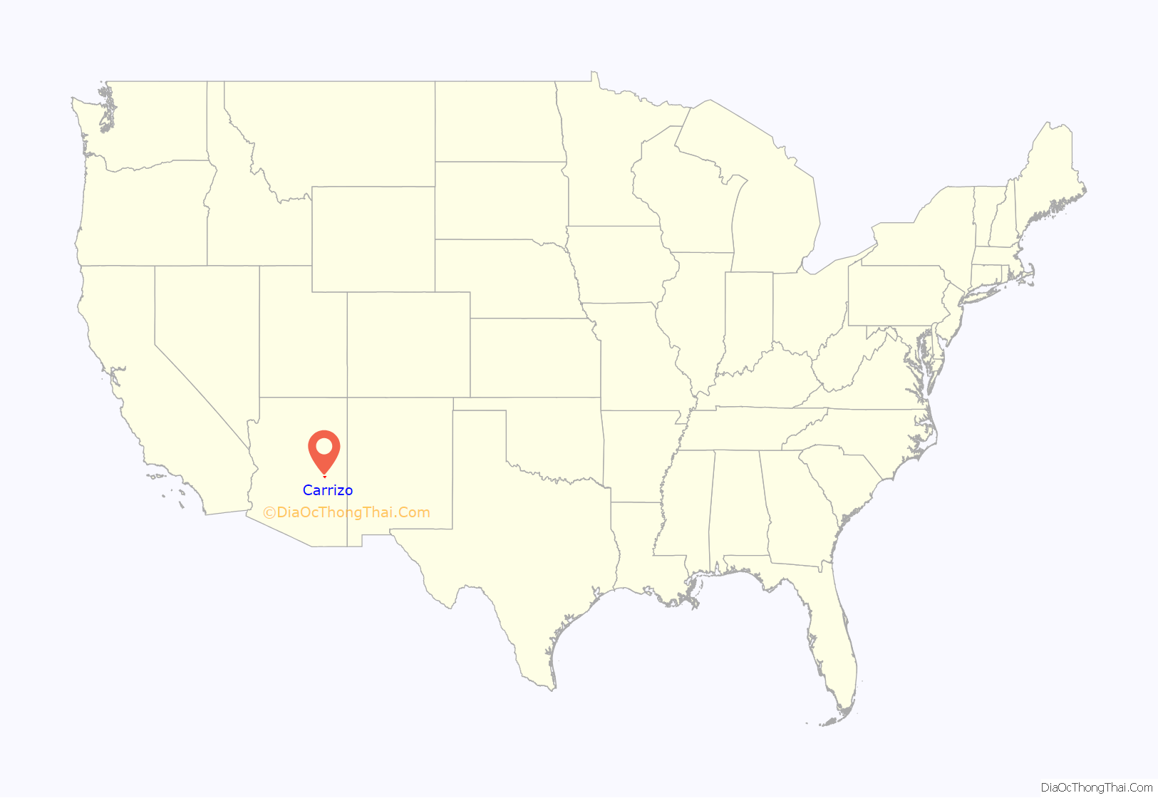
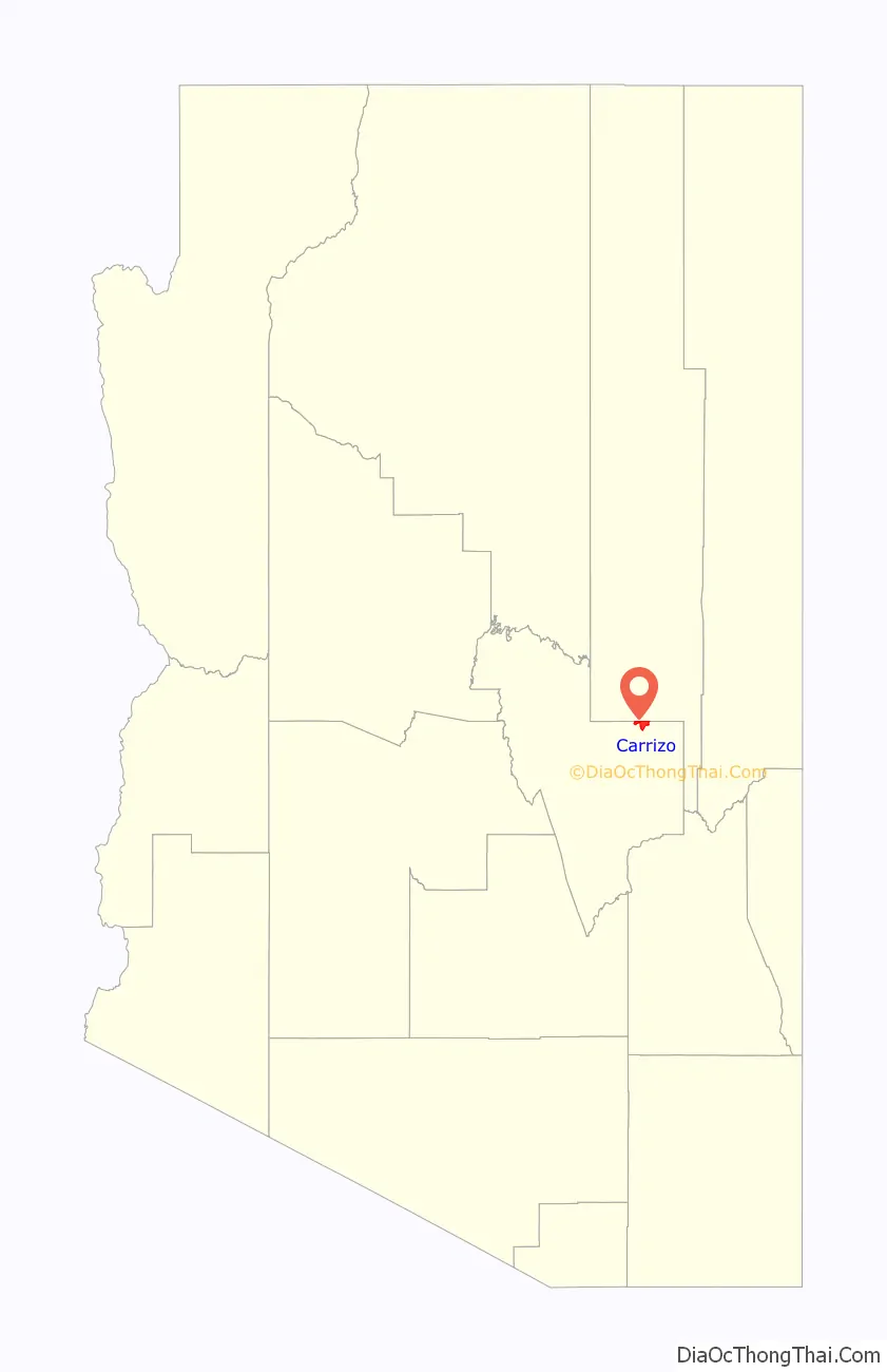
Carrizo (Western Apache: Gaadisóh) is a census-designated place in Gila County, Arizona, United States, located on the Fort Apache Indian Reservation.
The community’s name is Spanish for “reeds” and is likely derived from the Carrizo band of Apache.
| Name: | Carrizo CDP |
|---|---|
| LSAD Code: | 57 |
| LSAD Description: | CDP (suffix) |
| State: | Arizona |
| County: | Gila County |
| Elevation: | 4,918 ft (1,499 m) |
| Total Area: | 9.05 sq mi (23.44 km²) |
| Land Area: | 9.03 sq mi (23.39 km²) |
| Water Area: | 0.02 sq mi (0.06 km²) |
| Total Population: | 92 |
| Population Density: | 10.19/sq mi (3.93/km²) |
| ZIP code: | 85542 |
| Area code: | 928 |
| FIPS code: | 0410320 |
| GNISfeature ID: | 2481 |
Online Interactive Map
Click on ![]() to view map in "full screen" mode.
to view map in "full screen" mode.
Carrizo location map. Where is Carrizo CDP?
History
It was the location of, or the nearest community to, the Black River Bridge (Carrizo, Arizona), which is listed on the National Register of Historic Places.
Carrizo’s population was 25 in the 1960 census.
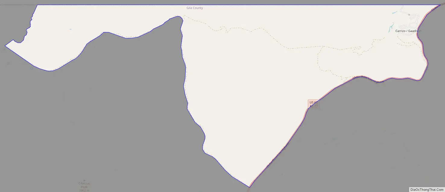
Carrizo Road Map
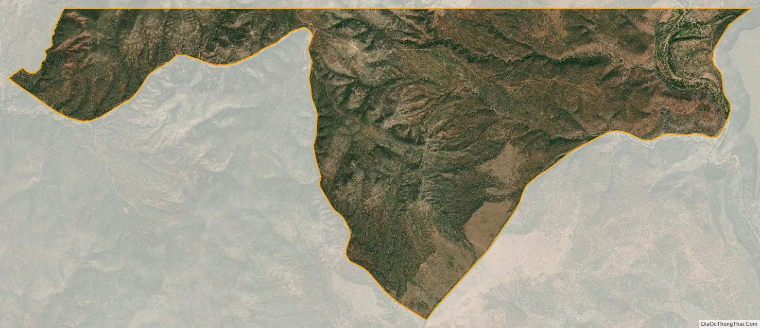
Carrizo city Satellite Map
See also
Map of Arizona State and its subdivision: Map of other states:- Alabama
- Alaska
- Arizona
- Arkansas
- California
- Colorado
- Connecticut
- Delaware
- District of Columbia
- Florida
- Georgia
- Hawaii
- Idaho
- Illinois
- Indiana
- Iowa
- Kansas
- Kentucky
- Louisiana
- Maine
- Maryland
- Massachusetts
- Michigan
- Minnesota
- Mississippi
- Missouri
- Montana
- Nebraska
- Nevada
- New Hampshire
- New Jersey
- New Mexico
- New York
- North Carolina
- North Dakota
- Ohio
- Oklahoma
- Oregon
- Pennsylvania
- Rhode Island
- South Carolina
- South Dakota
- Tennessee
- Texas
- Utah
- Vermont
- Virginia
- Washington
- West Virginia
- Wisconsin
- Wyoming


