East Globe is a census-designated place in Gila County, Arizona, United States. As of the 2010 census it had a population of 226.
The racial and ethnic makeup of the population is 78.3% non-Hispanic Native Americans, 12.9% Hispanic Native Americans, 3.5% non-Hispanic whites, 0.4% Asian, 2.2% reporting two or more races and 2.6% non-Native American Hispanics.
| Name: | East Globe CDP |
|---|---|
| LSAD Code: | 57 |
| LSAD Description: | CDP (suffix) |
| State: | Arizona |
| County: | Gila County |
| Elevation: | 3,415 ft (1,041 m) |
| Total Area: | 3.38 sq mi (8.75 km²) |
| Land Area: | 3.38 sq mi (8.75 km²) |
| Water Area: | 0.00 sq mi (0.00 km²) |
| Total Population: | 259 |
| Population Density: | 76.72/sq mi (29.62/km²) |
| ZIP code: | 85542 |
| Area code: | 928 |
| FIPS code: | 0421410 |
| GNISfeature ID: | 2582777 |
Online Interactive Map
Click on ![]() to view map in "full screen" mode.
to view map in "full screen" mode.
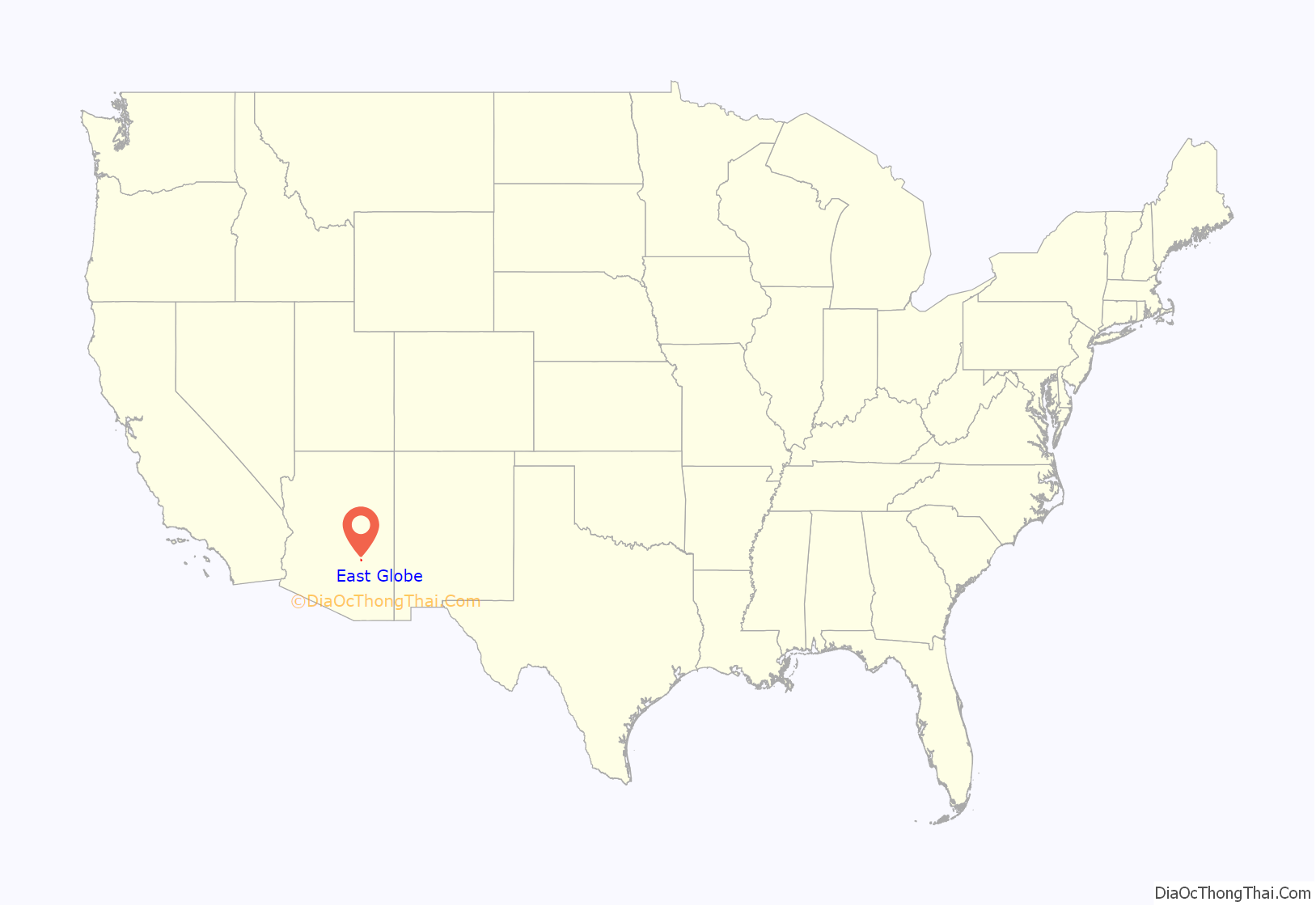
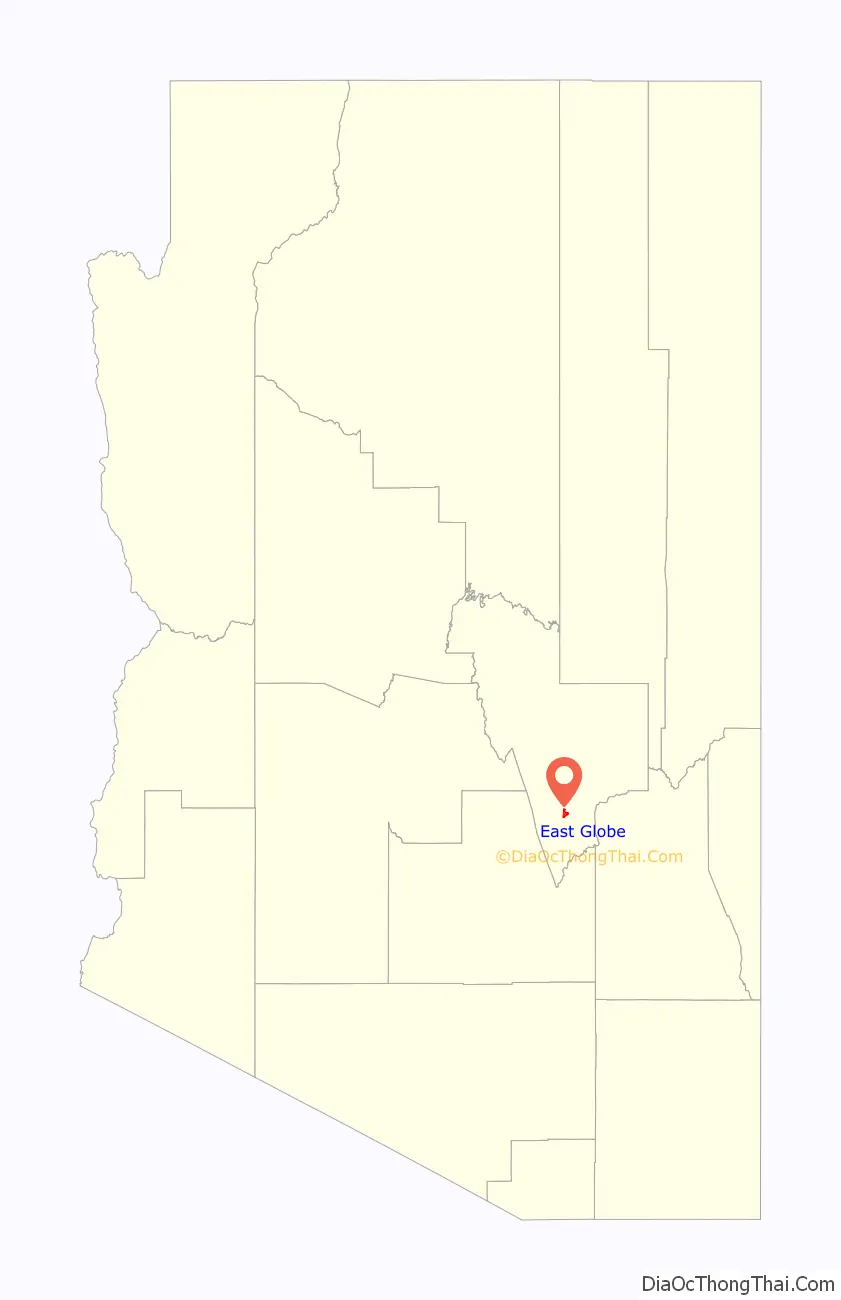
East Globe location map. Where is East Globe CDP?
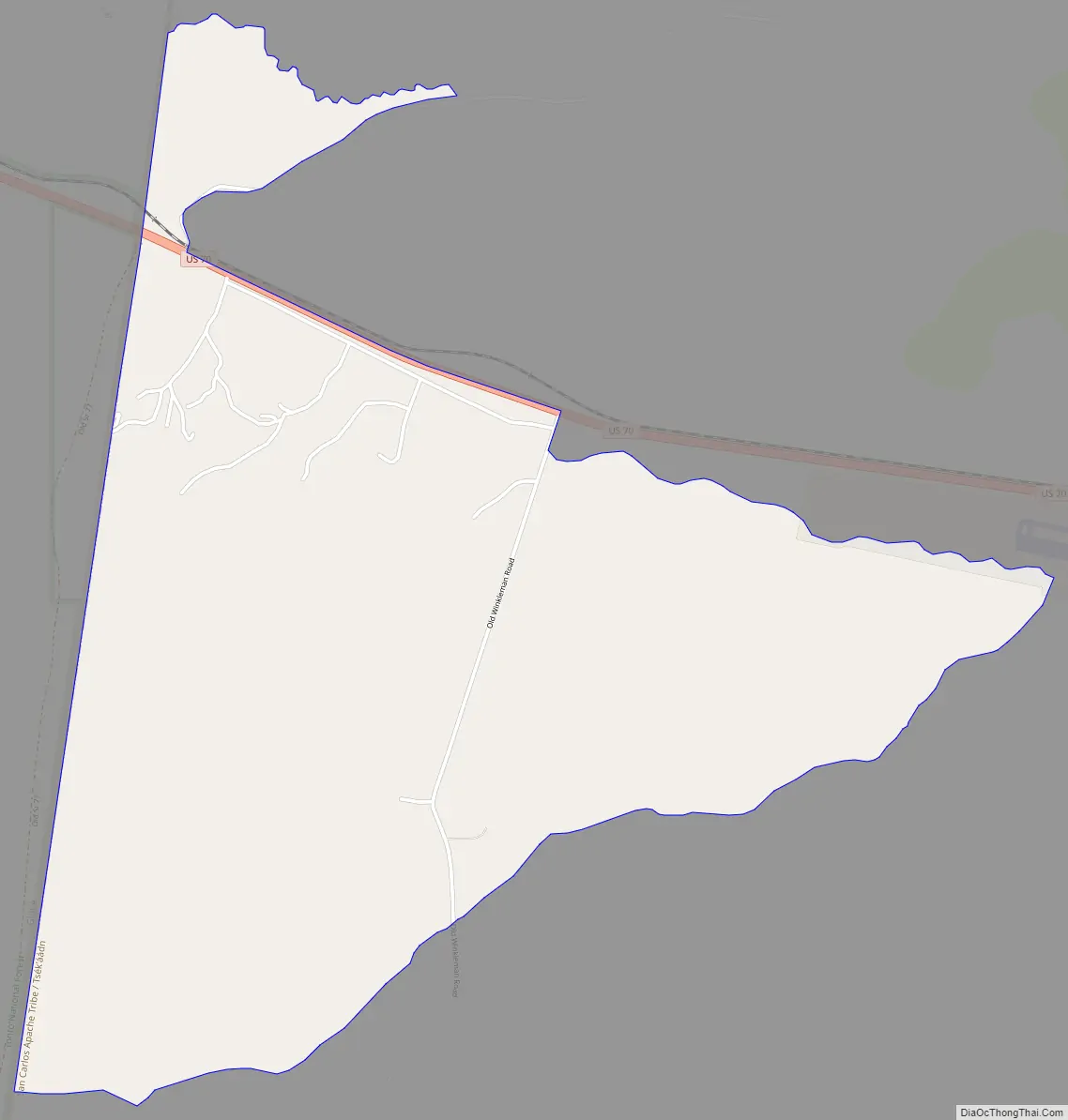
East Globe Road Map
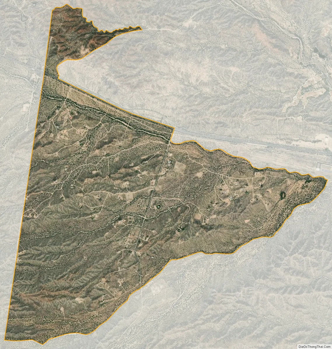
East Globe city Satellite Map
Geography
East Globe is located at 33°21′04″N 110°42′19″W / 33.351210°N 110.705266°W / 33.351210; -110.705266.
According to the U.S. Census Bureau, the community has an area of 3.447 square miles (8.93 km), all land.
See also
Map of Arizona State and its subdivision: Map of other states:- Alabama
- Alaska
- Arizona
- Arkansas
- California
- Colorado
- Connecticut
- Delaware
- District of Columbia
- Florida
- Georgia
- Hawaii
- Idaho
- Illinois
- Indiana
- Iowa
- Kansas
- Kentucky
- Louisiana
- Maine
- Maryland
- Massachusetts
- Michigan
- Minnesota
- Mississippi
- Missouri
- Montana
- Nebraska
- Nevada
- New Hampshire
- New Jersey
- New Mexico
- New York
- North Carolina
- North Dakota
- Ohio
- Oklahoma
- Oregon
- Pennsylvania
- Rhode Island
- South Carolina
- South Dakota
- Tennessee
- Texas
- Utah
- Vermont
- Virginia
- Washington
- West Virginia
- Wisconsin
- Wyoming


