Wellton Hills is a census-designated place in Yuma County, in the U.S. state of Arizona. The population was 258 at the 2010 census.
| Name: | Wellton Hills CDP |
|---|---|
| LSAD Code: | 57 |
| LSAD Description: | CDP (suffix) |
| State: | Arizona |
| County: | Yuma County |
| Elevation: | 364 ft (111 m) |
| Total Area: | 0.64 sq mi (1.66 km²) |
| Land Area: | 0.64 sq mi (1.66 km²) |
| Water Area: | 0.00 sq mi (0.00 km²) |
| Total Population: | 167 |
| Population Density: | 261.35/sq mi (100.84/km²) |
| ZIP code: | 85356 |
| Area code: | 928 |
| FIPS code: | 0481490 |
| GNISfeature ID: | 2582898 |
Online Interactive Map
Click on ![]() to view map in "full screen" mode.
to view map in "full screen" mode.
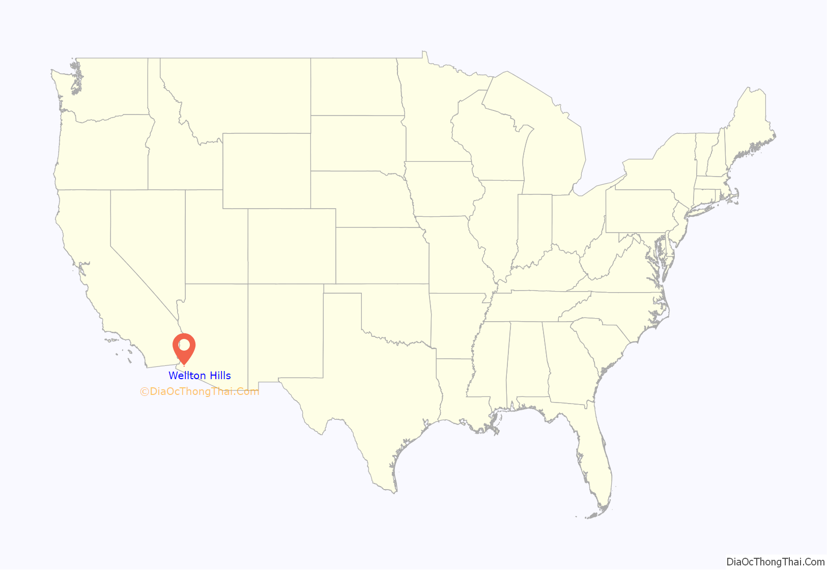
Wellton Hills location map. Where is Wellton Hills CDP?

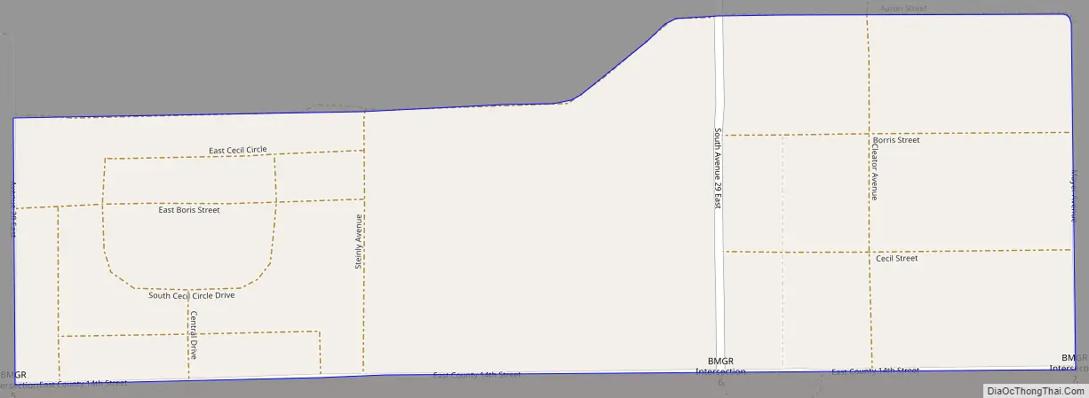
Wellton Hills Road Map
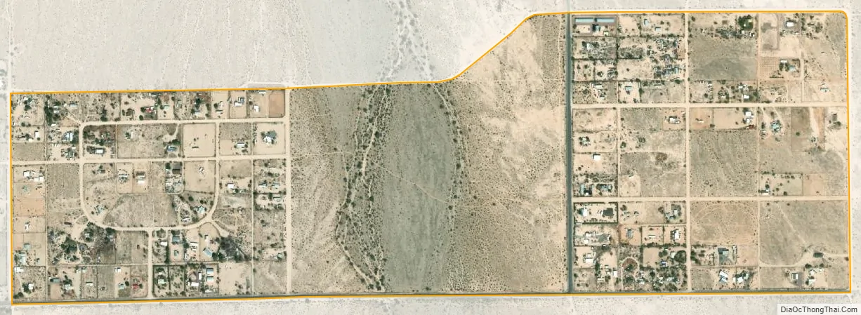
Wellton Hills city Satellite Map
Geography
According to the U.S. Census Bureau, the community has an area of 0.639 square miles (1.66 km), all land. Wellton Hills is located across from the Barry M. Goldwater Air Force Range. Wellton Hills terrain consists of the Sonoran Desert. This range is both used by the Department of Defense for training purposes and is a major hub for illegal immigration. In 2012, a new $22 million Border Patrol facility was opened to combat this.
See also
Map of Arizona State and its subdivision: Map of other states:- Alabama
- Alaska
- Arizona
- Arkansas
- California
- Colorado
- Connecticut
- Delaware
- District of Columbia
- Florida
- Georgia
- Hawaii
- Idaho
- Illinois
- Indiana
- Iowa
- Kansas
- Kentucky
- Louisiana
- Maine
- Maryland
- Massachusetts
- Michigan
- Minnesota
- Mississippi
- Missouri
- Montana
- Nebraska
- Nevada
- New Hampshire
- New Jersey
- New Mexico
- New York
- North Carolina
- North Dakota
- Ohio
- Oklahoma
- Oregon
- Pennsylvania
- Rhode Island
- South Carolina
- South Dakota
- Tennessee
- Texas
- Utah
- Vermont
- Virginia
- Washington
- West Virginia
- Wisconsin
- Wyoming


