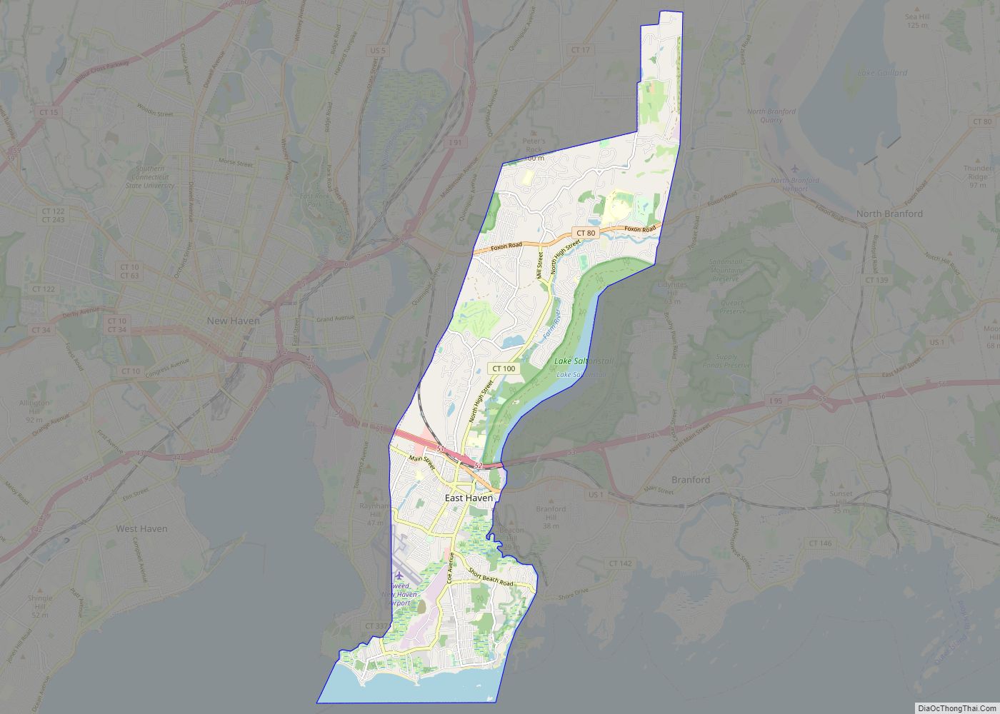
East Haven is a town in New Haven County, Connecticut, in the United States. As of the 2020 census, the town population was 27,923. The town is located 3 miles (5 km) east of New Haven, and is part of the South Central Connecticut Planning Region. East Haven is 35 miles (56 km) from Hartford, 82 miles (132 km) from New York City, 99 miles (159 km) from Providence, Rhode Island, and 140 miles (230 km) from Boston.
| Name: | East Haven CDP |
|---|---|
| LSAD Code: | 57 |
| LSAD Description: | CDP (suffix) |
| State: | Connecticut |
| County: | New Haven County |
| Incorporated: | 1785 |
| Elevation: | 30 ft (9 m) |
| Total Area: | 13.4 sq mi (34.8 km²) |
| Land Area: | 12.3 sq mi (31.8 km²) |
| Water Area: | 1.1 sq mi (3.0 km²) |
| Total Population: | 27,923 |
| Population Density: | 2,100/sq mi (800/km²) |
| ZIP code: | 06473, 06512, 06513 |
| Area code: | 203/475 |
| FIPS code: | 0922980 |
| GNISfeature ID: | 0213425 |
| Website: | www.townofeasthavenct.org |
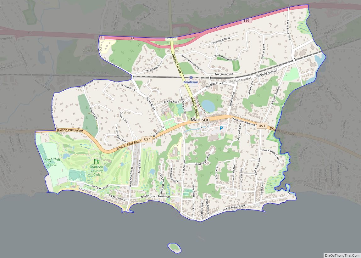
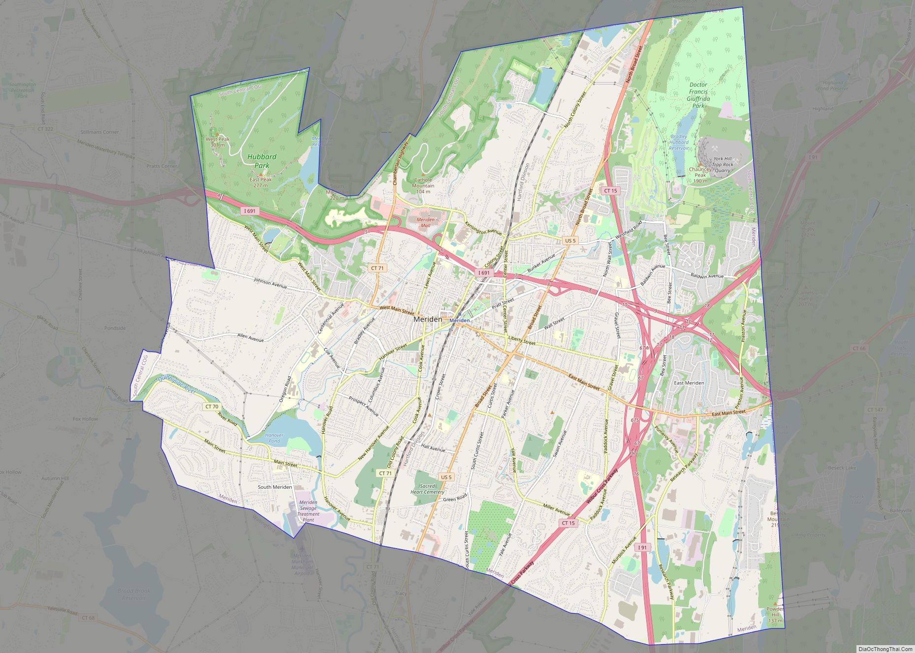
Online Interactive Map
Click on ![]() to view map in "full screen" mode.
to view map in "full screen" mode.
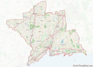
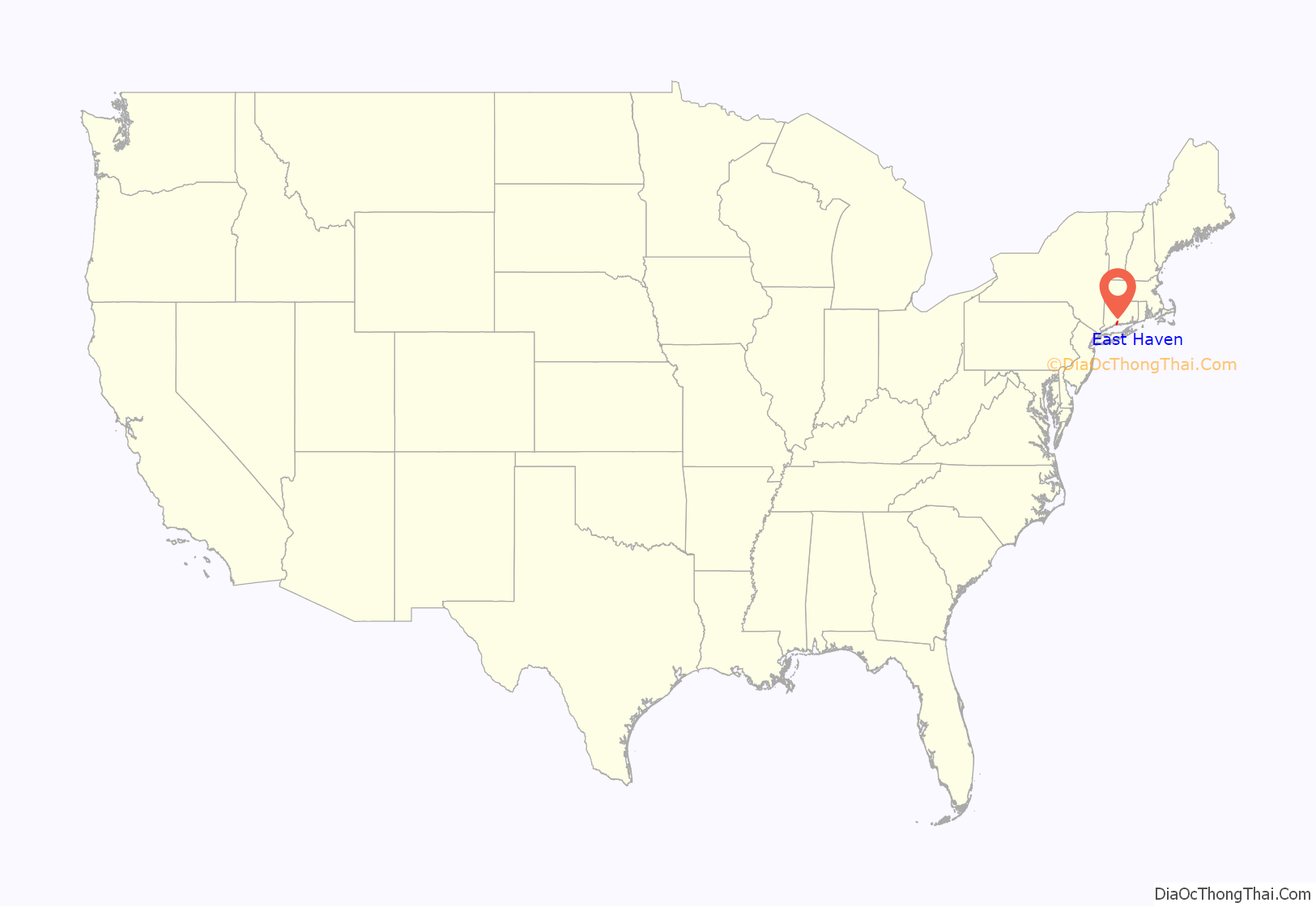
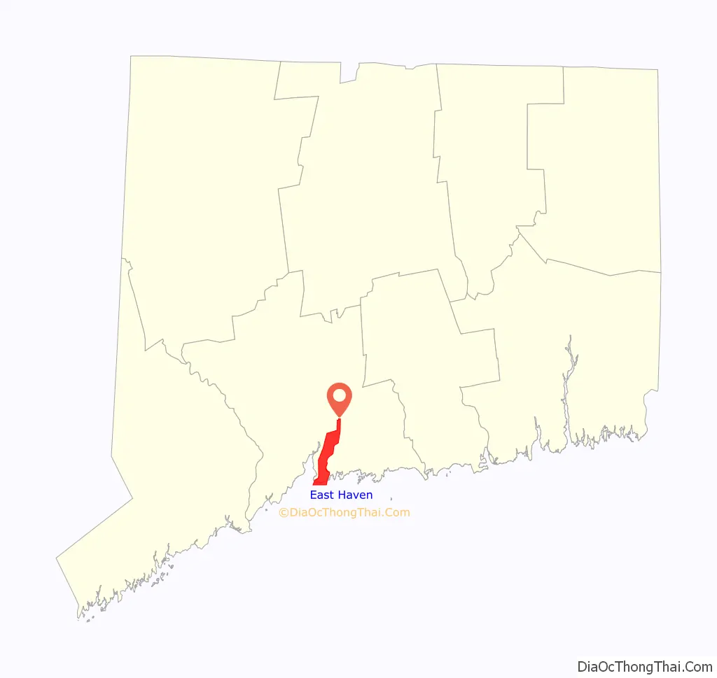
East Haven location map. Where is East Haven CDP?
History
The Connecticut Colony granted the town petition for Township in May 1707 and colonists changed the name from Iron Works Village to East Haven. Some outstanding land issues with New Haven and a minor feud with Governor Gurdon Saltonstall resulted in the rescinding of the township status; the area was made a parish of New Haven.
New Haven and neighboring towns such as East Haven have been destinations for a new wave of immigrants since the late 20th century, the majority of whom in East Haven are Latinos from Ecuador. In the 2010 census, Hispanics and Latinos made up more than 10% of the town’s population.
On August 9, 2013, a Rockwell International Turbo Commander 690B crashed on approach, hitting two houses in an East Haven residential neighborhood near the airport. The impact and the resulting fires destroyed both houses. The private plane had taken off from Teterboro Airport in New Jersey. The incident resulted in four deaths: the pilot of the plane; his passenger, the pilot’s 17-year-old son; and two children in one of the houses. They were girls of 13 years and one year of age.
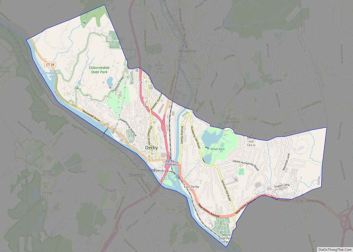
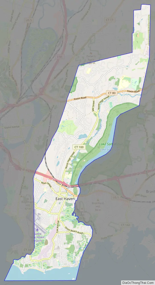
East Haven Road Map
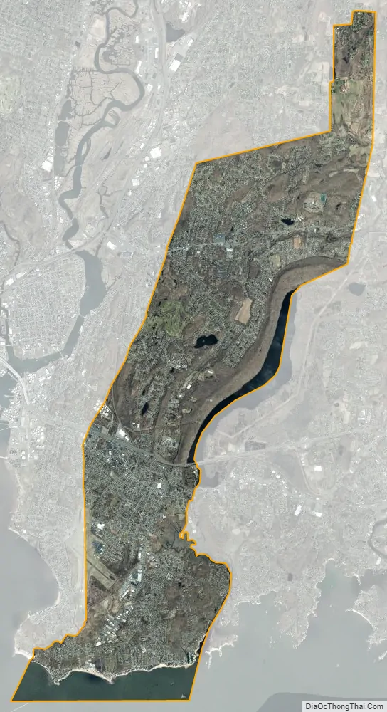
East Haven city Satellite Map
Geography
According to the United States Census Bureau, the town has a total area of 13.4 sq mi (34.8 km), of which 12.3 sq mi (31.8 km) of it is land and 1.19 sq mi (3.08 km) of it (8.57%) is water. East Haven also contains Stony Island, approximately 660 yards (600 m) from East Haven Town Beach in Long Island Sound.
The shape of East Haven on a map is taller than it is wide. It is bordered on the south by Long Island Sound, on the west by New Haven, on the north by North Haven, and on the east by Branford, Lake Saltonstall, and North Branford. East Haven shares with New Haven the land belonging to local Tweed New Haven Airport and Alling Memorial Golf Course.
Geology
During the Paleozoic Era, 450 to 250 million years ago, several tectonic plates collided to form the supercontinent called Pangaea. East Haven was located in the middle of this collision, and the results can be seen today with the schists, gneisses and granites which are exposed.
When Pangaea was broken up, during the Triassic and Jurassic periods, volcanic activity occurred, depositing basalt or trap rock. Earthquakes can still be felt in the area. In February 2001 the area was rocked by a 1.8 magnitude earthquake originating in Madison, Connecticut.
It is estimated that Connecticut was covered by glaciers at least two times. The last glacier is estimated to have been 1,800 feet (550 m) thick in the New Haven area. 22,000 years ago, the glacier moved south, eroding mountains and pushing through East Haven to deposit large amounts of glacial till to form Long Island. 14,000 years ago the glacier retreated and shaped the coastline, formed Long Island Sound and created Lake Saltonstall. It also deposited glacial till, soil, sand, rocks and boulders that the ice carried south from the north.
The coast is primarily covered by gneiss rock (including granite), schist and quartzite. The remaining sections are part of the Central Valley of Connecticut and are covered with clastic sedimentary rock (redbeds, conglomerate, sandstone, brownstone and shale). This soft surface has been resedimented by a number of floods, making the soil soft and fertile and ideal for farmland.
Brownstone, a sedimentary rock that erodes easily, was easily dug into by glaciers and carved out many lakes and valleys. The area surrounding Farms River and Lake Saltonstall on the East Haven and Branford border is an example of this. The brownstone that did not erode was used for building foundations and rock fences found throughout New England.
Deposits of basalt (lava flow) can be found in the north and northeast sections of East Haven. Several quarries can be found in this area. Traprock (basalt) is turned into crushed stone. It is primarily used in construction and in the bedding of roads. Sand and gravel from glacial till is the second most profitable quarried rock. They are used as fill, in concrete, leach fields or for road sand.
Animals and plants
When Pangaea was broken up, East Haven had forests. Dinosaurs, reptiles and mammals roamed the area. Dinosaur trackways like those found in Rocky Hill at Dinosaur State Park were recently found at a construction site near Lake Saltonstall. The tracks were made by Eubrontes. Fossils of Triassic period reptiles have been found in the area. Stegomus was covered with armor plates and looked similar to an armadillo.
Today, East Haven is mostly covered with broadleaf, hardwood trees. There are a few conifer (evergreen) forests, mostly around Lake Saltonstall. Salt marshes are located in areas around Long Island Sound.
Dinosaurs were long ago succeeded by deer, coyotes, squirrels, foxes, chipmunks and rabbits. Garter snakes can be found in the area. Pheasants, grouse, ducks and wild turkeys can be found in East Haven, as well as cardinals, blue jays, warblers, crows, sparrows, parrots, woodpeckers and sea gulls. Trout can be found in the fresh water lakes. Bluefish, bass, flounder, blackfish, sand sharks, eels, lobsters, crabs and clams can be found in Long Island Sound.
See also
Map of Connecticut State and its subdivision: Map of other states:- Alabama
- Alaska
- Arizona
- Arkansas
- California
- Colorado
- Connecticut
- Delaware
- District of Columbia
- Florida
- Georgia
- Hawaii
- Idaho
- Illinois
- Indiana
- Iowa
- Kansas
- Kentucky
- Louisiana
- Maine
- Maryland
- Massachusetts
- Michigan
- Minnesota
- Mississippi
- Missouri
- Montana
- Nebraska
- Nevada
- New Hampshire
- New Jersey
- New Mexico
- New York
- North Carolina
- North Dakota
- Ohio
- Oklahoma
- Oregon
- Pennsylvania
- Rhode Island
- South Carolina
- South Dakota
- Tennessee
- Texas
- Utah
- Vermont
- Virginia
- Washington
- West Virginia
- Wisconsin
- Wyoming