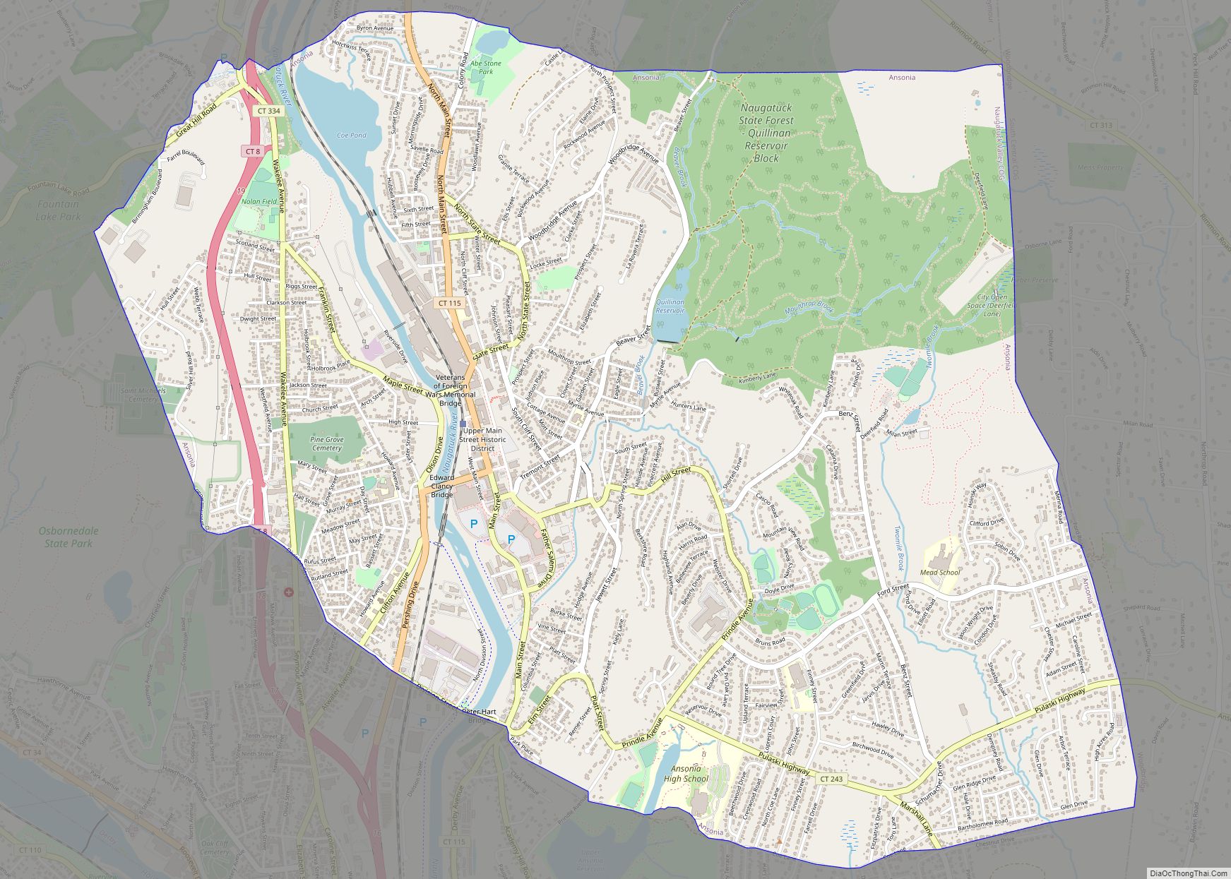
Naugatuck is a consolidated borough and town in New Haven County, Connecticut, United States. The town spans both sides of the Naugatuck River just south of Waterbury and includes the communities of Union City on the east side of the river, which has its own post office, Straitsville on the southeast (along Route 63), and Millville on the west (along Rubber Avenue). The town is part of the Naugatuck Valley Planning Region. As of the 2020 census, Naugatuck had a population of 31,519.
| Name: | Naugatuck borough |
|---|---|
| LSAD Code: | 21 |
| LSAD Description: | borough (suffix) |
| State: | Connecticut |
| County: | New Haven County |
| Incorporated: | 1844 |
| Elevation: | 207 ft (63 m) |
| Total Area: | 16.39 sq mi (42.46 km²) |
| Land Area: | 16.30 sq mi (42.21 km²) |
| Water Area: | 0.10 sq mi (0.25 km²) |
| Total Population: | 31,519 |
| Population Density: | 1,908.58/sq mi (746.7/km²) |
| ZIP code: | 06770 |
| FIPS code: | 0949880 |
| GNISfeature ID: | 0209191 |
| Website: | www.naugatuck-ct.gov |
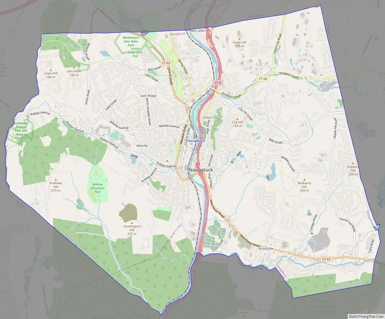
Online Interactive Map
Click on ![]() to view map in "full screen" mode.
to view map in "full screen" mode.
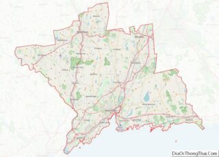
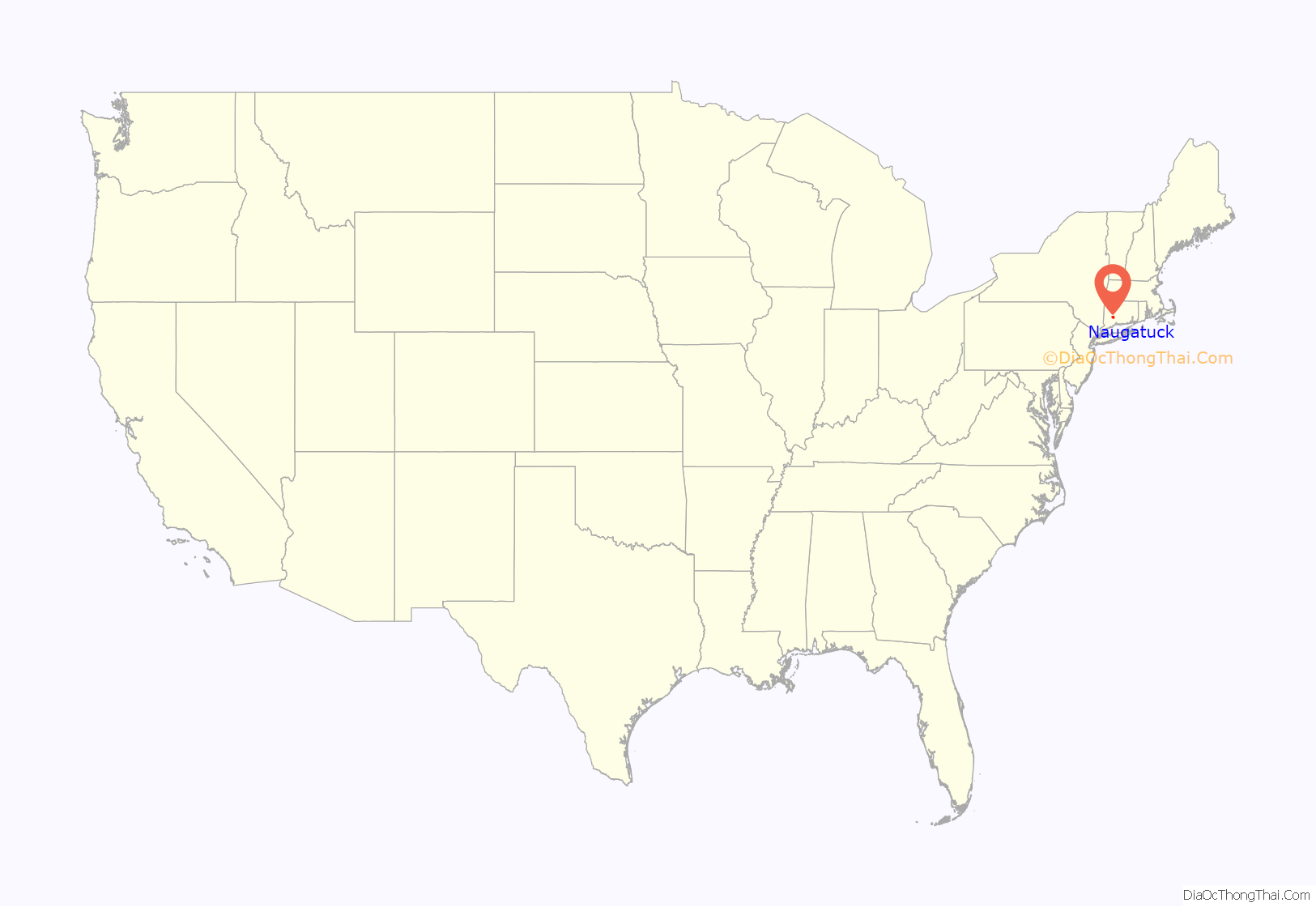
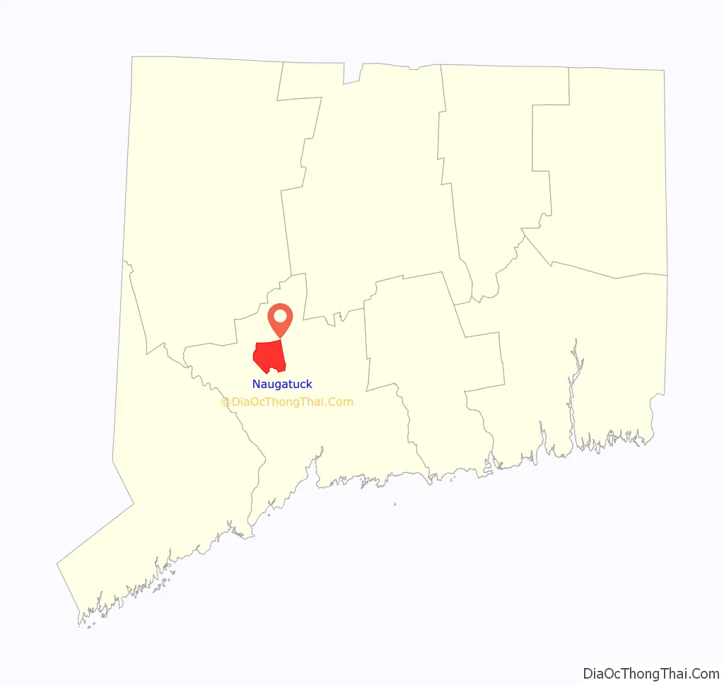
Naugatuck location map. Where is Naugatuck borough?
History
Naugatuck was settled in 1701 as a farming community in rural western Connecticut. As the Industrial Revolution commenced, Naugatuck was transformed into a mill town like its neighbors in the Naugatuck River Valley.
Rubber was the chief manufactured product. Charles Goodyear worked at his brother’s rubber company, the Goodyear Metallic Rubber Shoe Company & Downtown Naugatuck, until the company was consolidated into the United States Rubber Company. The United States Rubber Company (renamed Uniroyal Inc. in 1961) was founded in Naugatuck in 1892 as a consolidation of nine rubber companies, and maintained their corporate headquarters there until the 1980s. Their footwear division manufactured Keds sneakers in Naugatuck from 1917 until the 1980s. U.S. Rubber also produced Naugahyde in a Naugatuck factory, but it is no longer produced there.
The United States Rubber Co. formed the Naugatuck Chemical Company on June 1, 1904 due to an increase in the price of sulfuric acid, which was needed for the process then used for reclaiming old rubber. The company was soon in the forefront of the chemical industry in the United States. Naugatuck Chemical remained a subsidiary of the U.S. Rubber Co. until it gained independence as Uniroyal Chemical Co. They moved their operations to Middlebury, Connecticut in the 1970s.
The Risdon Manufacturing Company was established in Naugatuck around 1910 producing safety pins. Risdon became the manufacturer of packaging for cosmetics and sewing items such as pins, needles, snaps, and other accessories. It is now the Crown Risdon Co., headquartered in Watertown, Connecticut.
In the 1960s, Harold Barber founded H. Barber and Sons in the community. The company builds beach rakes for picking up debris and grooming beaches and claims to be the largest such business in the world.
Naugatuck was the home to Peter Paul Candy Manufacturing Company, the Hershey Foods division that produces Almond Joy and Mounds candy bars, until the Hershey Co. closed it in November 2007.
The normally peaceful Naugatuck River that flows through Naugatuck overflowed its banks on August 19, 1955, fed by over 10 inches (250 mm) of rain from Hurricane Diane. The river cut a path of destruction that forever changed the face of Naugatuck.
Naugatuck High School has a storied football rivalry with the high school in Ansonia that is one of the longest in America. The two teams meet the morning of Thanksgiving Day, and the first meeting was in 1900. Ansonia is the long-term winner in the series. Naugatuck High School’s mascot is the greyhound, and its colors are garnet and grey.
Naugatuck Road Map
Naugatuck city Satellite Map

Geography
According to the United States Census Bureau, the borough has a total area of 16.5 square miles (42.6 km), of which 16.4 square miles (42.4 km) is land and 0.1 square miles (0.2 km), or 0.36%, is water.
See also
Map of Connecticut State and its subdivision: Map of other states:- Alabama
- Alaska
- Arizona
- Arkansas
- California
- Colorado
- Connecticut
- Delaware
- District of Columbia
- Florida
- Georgia
- Hawaii
- Idaho
- Illinois
- Indiana
- Iowa
- Kansas
- Kentucky
- Louisiana
- Maine
- Maryland
- Massachusetts
- Michigan
- Minnesota
- Mississippi
- Missouri
- Montana
- Nebraska
- Nevada
- New Hampshire
- New Jersey
- New Mexico
- New York
- North Carolina
- North Dakota
- Ohio
- Oklahoma
- Oregon
- Pennsylvania
- Rhode Island
- South Carolina
- South Dakota
- Tennessee
- Texas
- Utah
- Vermont
- Virginia
- Washington
- West Virginia
- Wisconsin
- Wyoming