Newtown is a town in Fairfield County, Connecticut, United States. It is part of the Greater Danbury metropolitan area as well as the New York metropolitan area. Newtown was founded in 1705, and later incorporated in 1711. As of the 2020 census, its population was 27,173. The town is part of the Western Connecticut Planning Region.
| Name: | Newtown borough |
|---|---|
| LSAD Code: | 21 |
| LSAD Description: | borough (suffix) |
| State: | Connecticut |
| County: | Fairfield County |
| Incorporated: | 1711 |
| Elevation: | 397 ft (121 m) |
| Total Area: | 57.66 sq mi (149.3 km²) |
| Land Area: | 57.66 sq mi (149.3 km²) |
| Water Area: | 0.00 sq mi (0.00 km²) |
| Population Density: | 471.3/sq mi (182.0/km²) |
| FIPS code: | 0952910 |
| Website: | www.newtown-ct.gov |
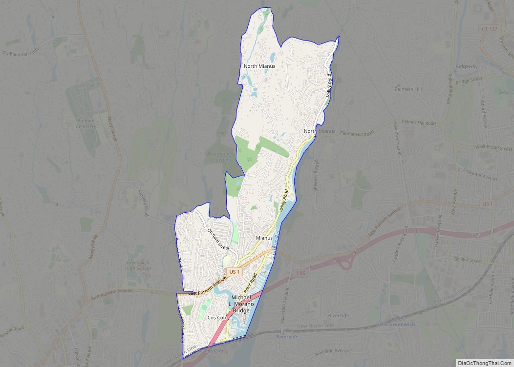
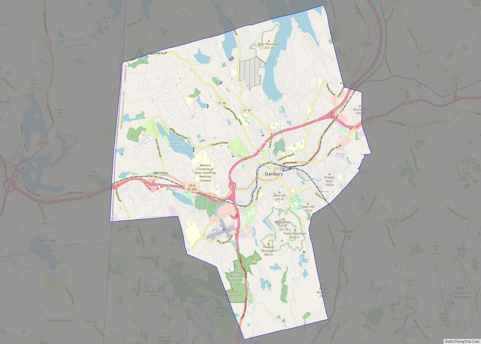
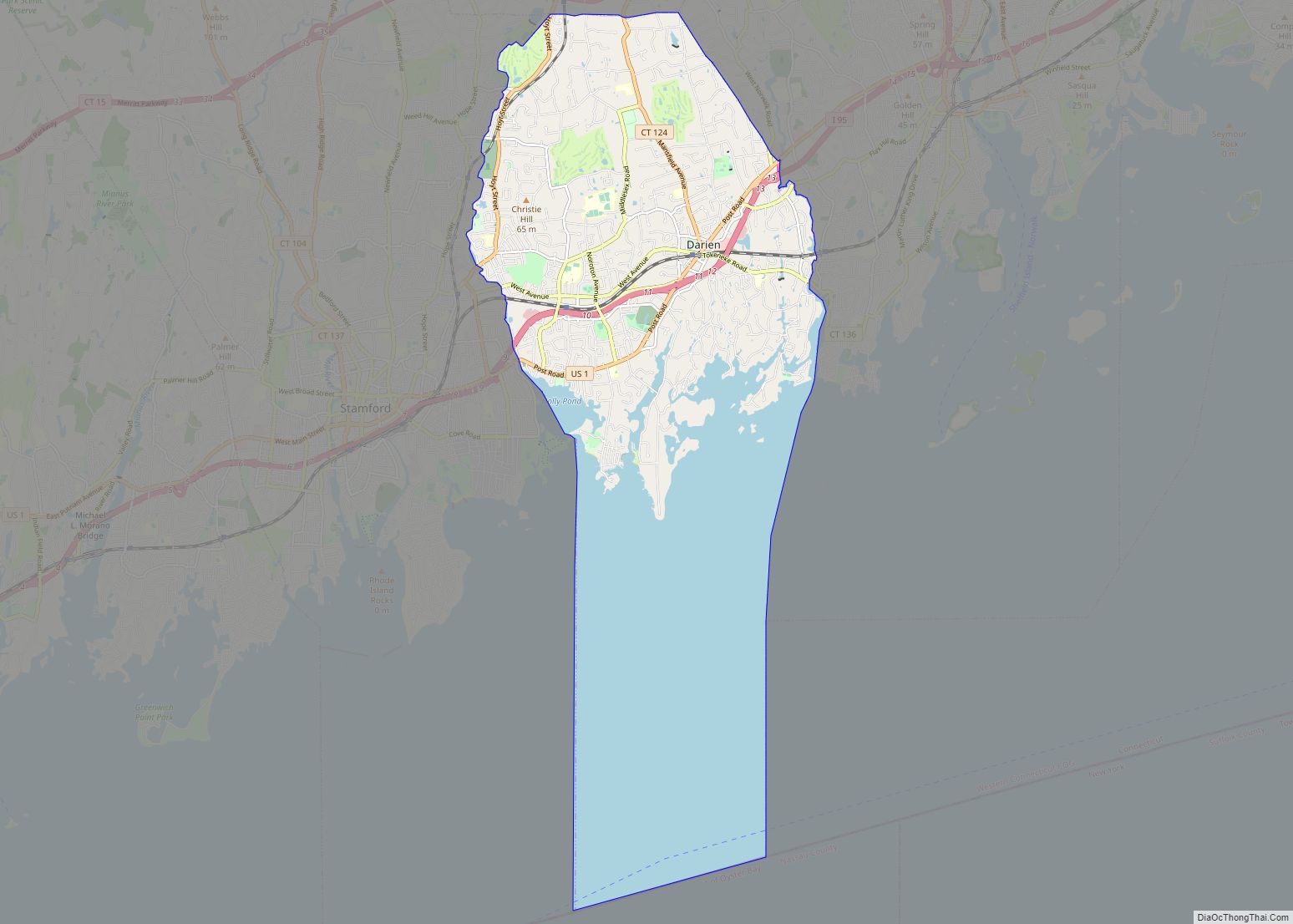
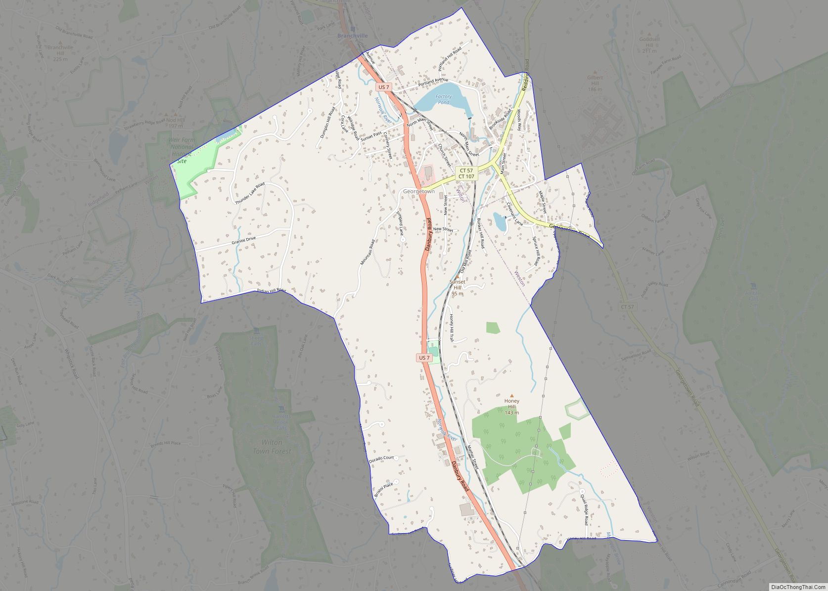
Online Interactive Map
Click on ![]() to view map in "full screen" mode.
to view map in "full screen" mode.
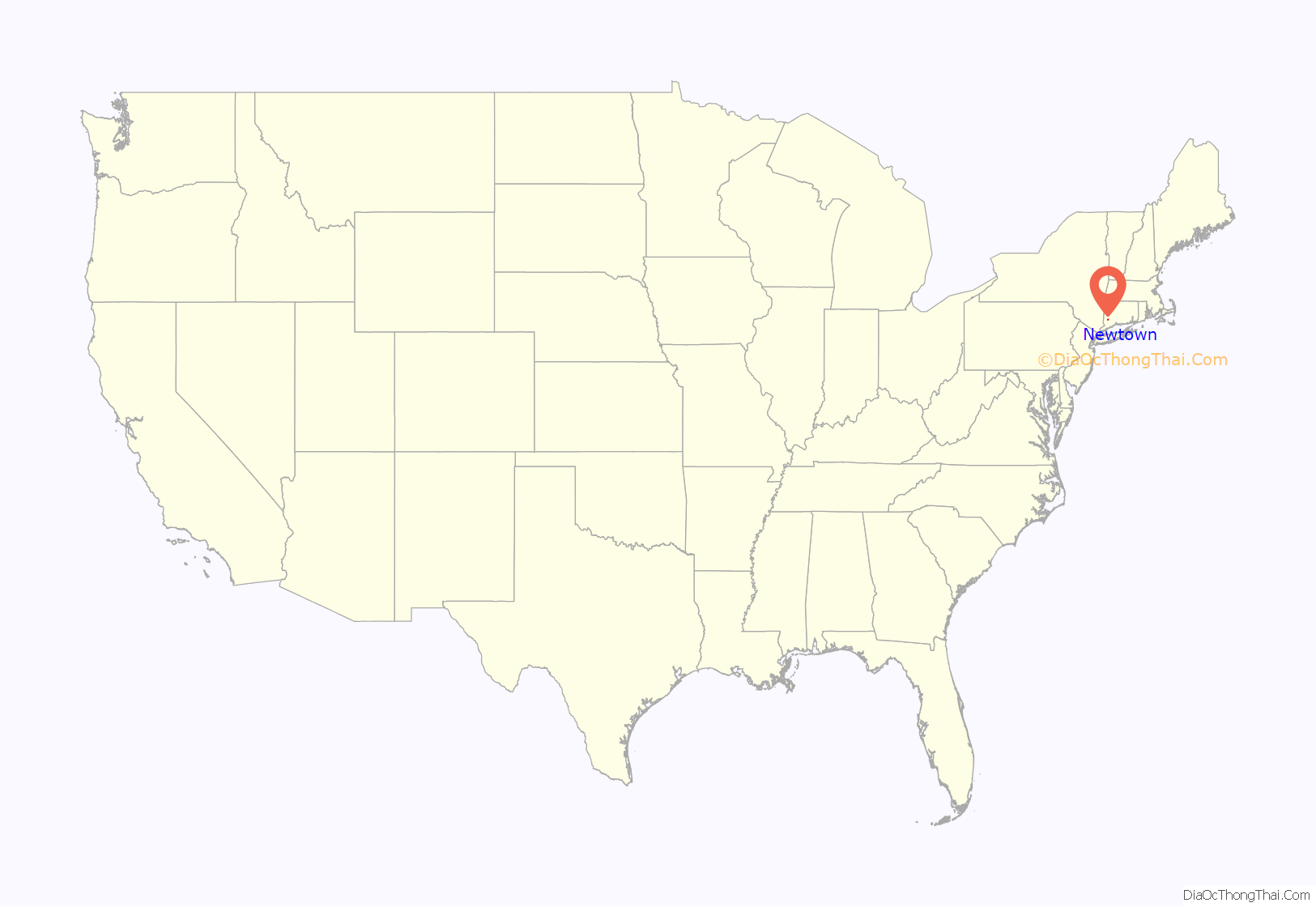
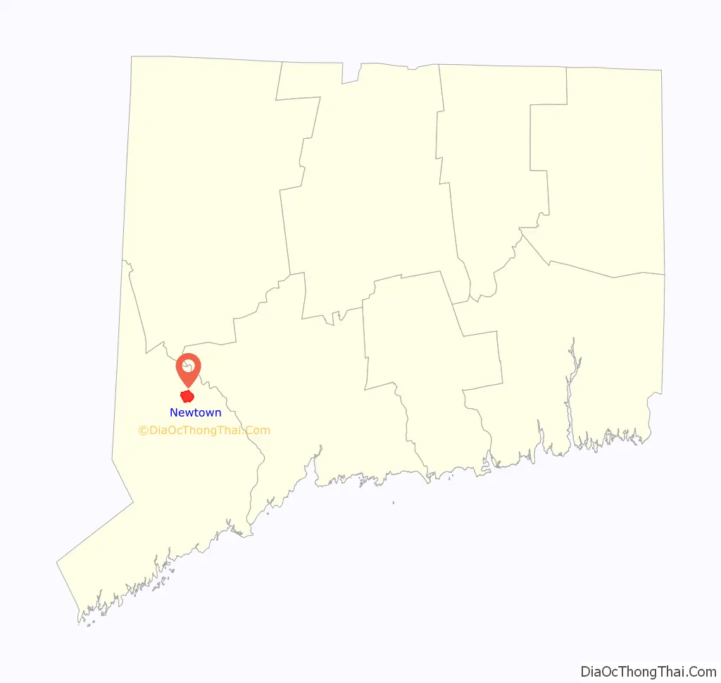
Newtown location map. Where is Newtown borough?
History
In 1705, English colonists purchased the Townsite from the Pohtatuck Indians, a branch of the Pasgussett. It was originally known as Quanneapague. Settled by migrants from Stratford and incorporated in 1711, Newtown residents had many business and trading ties with the English. It was a stronghold of Tory sentiment during the early Revolutionary War. Late in the war, French General Rochambeau and his troops encamped there in 1781 during their celebrated march on their way to the siege of Yorktown, Virginia, which ended the Revolution.
An important crossroads throughout its early history, the village of Hawleyville briefly emerged as a railroad center. The town’s population grew to over 4,000 c. 1881. In the following decades, the population dwindled to a low of 2,635 in 1930 before again growing.
Local industry has included the manufacture of furniture, tea bags, combs, fire hoses, folding boxes, buttons, and hats, as well as farming, and mica and feldspar mining. The game of “Scrabble” was developed here by James Brunot.
From the period of highway development and suburbanization following World War II, the town has developed as a suburb of Danbury, with many people also commuting to Norwalk, Stamford, and Bridgeport.
The Newtown Bee
The local newspaper, The Newtown Bee has been the hometown media outlet since June 1877, under Publisher John Pearce of Bethel. The Smith family purchased the newspaper in 1881 and has continuously operated it since that time.
Sandy Hook Elementary School shooting
On December 14, 2012, Adam Lanza shot and killed his mother in her home and then drove to Sandy Hook Elementary School where he killed 20 children and six adult staff. He committed suicide when police arrived at the school. Lanza suffered from severe mental illness which was left untreated. The event reignited a debate regarding access to firearms by people with mental illness and gun laws in the United States.
Newtown Road Map
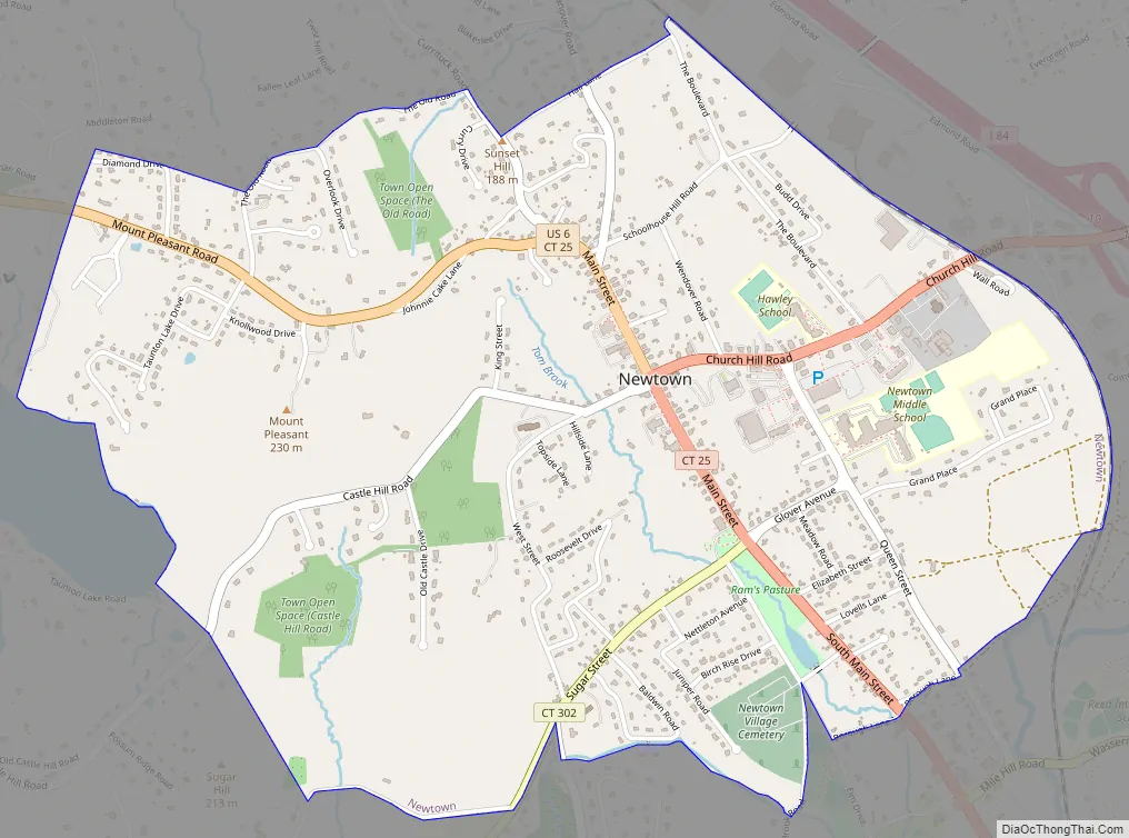
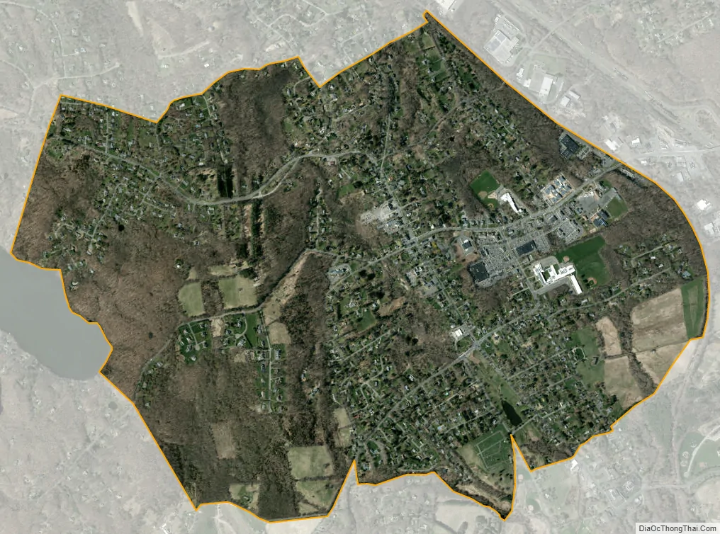
Newtown city Satellite Map
Geography
The northeastern border of the town is a natural border that follows the Housatonic River.
According to the United States Census Bureau, the town has a total area of 59.1 sq mi (153 km), of which 57.8 sq mi (150 km) is land and 1.3 sq mi (3.4 km), or 2.22%, is water. Newtown is located in northern Fairfield County, about 45 mi (72 km) southwest of Hartford and about 42 mi (68 km) northeast of New York City. The state’s fifth largest town in area, it is bordered by Bethel, Bridgewater, Brookfield, Easton, Monroe, Oxford, Redding and Southbury.
Principal communities
- Botsford (ZIP code 06470)
- Dodgingtown
- Hattertown
- Hawleyville (ZIP code 06470)
- Newtown Borough (ZIP code 06470)
- Rocky Glen
- Sandy Hook (ZIP code 06482) (including Berkshire, Riverside, Walnut Tree Hill, and Zoar communities)
Smaller communities include Camelot, Head of Meadow (not necessarily related to Head O’Meadow Elementary School), Hopewell, Huntingtown, Lands End, Middle Gate, Palestine, and Taunton.
See also
Map of Connecticut State and its subdivision: Map of other states:- Alabama
- Alaska
- Arizona
- Arkansas
- California
- Colorado
- Connecticut
- Delaware
- District of Columbia
- Florida
- Georgia
- Hawaii
- Idaho
- Illinois
- Indiana
- Iowa
- Kansas
- Kentucky
- Louisiana
- Maine
- Maryland
- Massachusetts
- Michigan
- Minnesota
- Mississippi
- Missouri
- Montana
- Nebraska
- Nevada
- New Hampshire
- New Jersey
- New Mexico
- New York
- North Carolina
- North Dakota
- Ohio
- Oklahoma
- Oregon
- Pennsylvania
- Rhode Island
- South Carolina
- South Dakota
- Tennessee
- Texas
- Utah
- Vermont
- Virginia
- Washington
- West Virginia
- Wisconsin
- Wyoming